Old Maps of Hixton, Wisconsin for Metal Detecting
Plan your next treasure hunt with 28 historic maps of Hixton. Find old homesites, ghost towns, trails, and gathering spots that may be lost to time — perfect for identifying promising metal detecting locations.
- Locate forgotten sites: Uncover places like long-lost settlements, abandoned rail lines, or gathering spots.
- Plan better hunts: Use map overlays combined with LiDAR or satellite views to narrow in on historically rich areas.
- Made for detectorists: Thousands of hobbyists use these maps to discover relics, coins, and hidden history.
Use these historic maps to boost your research and find new opportunities beneath the surface of Hixton.
Hixton, WI maps
(28)- 1924 Map of Black River Falls, 1963 Print
 1924 Black River Falls1963 Print · USGSBlack River Falls and the surrounding central Wisconsin hills are captured in the mid-1920s during a period of established rail transport and rural education. Genealogists can trace a dense network of country schools and settlements including Winnebago Mission, Charter Oak Mill, and Vaudreuil.2 unique versions available
 - 1926 Map of Black River Falls
 1926 Black River Falls1926 Print · USGSJackson County is shown during a period of steady rural growth in the 1920s, centered on the bustling river town of Black River Falls. Local historians can trace dozens of rural schoolhouses and vanished sidings like Vaudreuil and Sheppard along the rail lines.
 - 1927 Map of Blair
 1927 Blair1927 Print · USGSIn the 1920s, the coulee country of Trempealeau and Jackson Counties was a landscape of tightly-knit valley settlements and rural schools. Genealogists can trace family footprints through numerous local landmarks like Schermerhorn School, Pigeon Falls, and Fly Creek School.2 unique versions available
 - 1953 Map of Eau Claire, 1965 Print
 1953 Eau Claire1965 Print · USGSWest-central Wisconsin in the mid-fifties shows a landscape of river-valley industry and vast wildlife refuges during the transition from rails to modern highways. Genealogists and historians can trace the rail corridors of the Chicago and North Western or locate family-named landmarks like Decorah Mound and Chippewa Island.4 unique versions available
 - 1958 Map of Eau Claire
 1958 Eau Claire1958 Print · USGSWestern Wisconsin in the late fifties shows a landscape of growing regional hubs and massive wildlife refuges. Trace the rail lines of the Chicago and North Western between Eau Claire and Marshfield, or explore the terrain around Iron Mound and Lake Wissota.
 - 1964 Map of Eau Claire
 1964 Eau Claire1964 Print · USGSWest-central Wisconsin in the mid-1960s was a hub of river-driven industry and expanding rail networks. Researchers can trace historic homesteads near Menomonie, follow the Soo Line RR through Marshfield, or explore the grounds of the Camp McCoy Military Reservation.
 - 1968 Map of Blair, 1971 Print
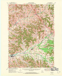 1968 Blair1971 Print · USGSWisconsin's coulee country comes into focus in the late sixties, showing the vital rail-and-river corridor between Blair and Hixton. Researchers can locate the Amish Sch, trace the Green Bay and Western line, and find family names near French Creek Cem.2 unique versions available
 - 1968 Map of Black River Falls, 1971 Print
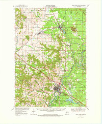 1968 Black River Falls1971 Print · USGSThe Black River valley comes alive in this late-sixties survey, showing the busy rail junction at Merrillan and the growing county seat at Black River Falls. Genealogists and historians can trace local roots at the Winnebago Mission, Cloverdale School, and Stanford Cem.
 - 1984 Map of Taylor
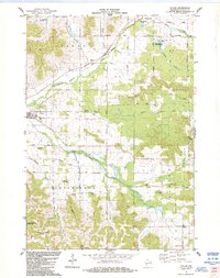 1984 Taylor1984 Print · USGSJackson County’s coulee country is captured here in the mid-eighties, showing the agricultural and natural rhythms of the Trempealeau River valley. Researchers can trace rural lineages through Woodlawn Cem, explore the small community of Sechlerville, and locate the Halverson Landing Field.
 - 1984 Map of Hixton
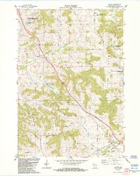 1984 Hixton1984 Print · USGSJackson County's agricultural valleys and coulees are documented here in the mid-1980s, showcasing the intersection of the Trempealeau River and the Green Bay and Western railroad. Researchers can locate unique local landmarks like Diphtheria Cem, Mound View Rock, and the historic settlement of Sechlerville.
 - 1984 Map of Alma Center
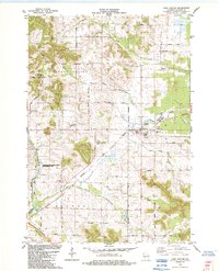 1984 Alma Center1984 Print · USGSAlma Center and its surrounding townships in the 1980s show a landscape defined by the intersection of rail history and the Trempealeau River. Researchers can trace the Chicago and North Western line, family burial grounds like Stanford Cem, and landmarks such as Silver Mound.
 - 1985 Map of Black River Falls
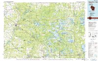 1985 Black River Falls1985 Print · USGSCentral Wisconsin in the mid-1980s is defined by its sprawling wildlife refuges and the winding Black River corridor. Genealogists and researchers can trace rural settlements like Millston and Warrens or locate historical sites such as the Iron Mine and the grounds of Fort McCoy.2 unique versions available
 - 1985 Map of Winona
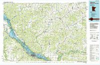 1985 Winona1985 Print · USGSThe Mississippi River valley and the coulees of the Driftless Area are shown here in the mid-1980s as the river's lock-and-dam system was well-established. Researchers can trace the riverfront at Winona, explore the bluffs near Galesville, or locate landmarks like Sugarloaf and Merrick State Park.2 unique versions available
 - 2010 Map of Alma Center, 2010 Print
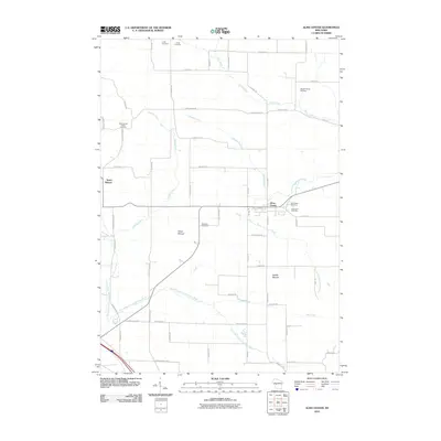 2010 Alma Center2010 Print · USGSAlma Center and its surrounding Jackson County townships are captured here at the start of the 2010s. Local researchers can locate numerous family burial grounds including Houghtonburg Cemetery and Stanford Cemetery, or trace the path of the South Branch Trempealeau River.
 - 2010 Map of Hixton, 2010 Print
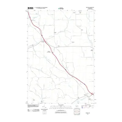 2010 Hixton2010 Print · USGSWisconsin's coulee country is documented here in the early twenty-first century as the landscape around Northfield continues its agricultural traditions. Family historians can locate several unique burial sites, including the Diphtheria Cemetery, Smallpox Cemetery, and Curran Coulee Cemetery.
 - 2010 Map of Taylor, 2010 Print
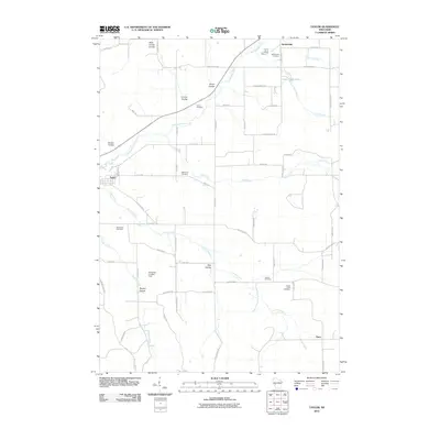 2010 Taylor2010 Print · USGSJackson County agricultural life is captured here in the early twenty-first century, showing the small settlements of Taylor and Sechlerville. Researchers can trace generations of local families through numerous sites like Curran Cemetery, French Creek Cemetery, and Woodlawn Cemetery.
 - 2013 Map of Hixton, 2013 Print
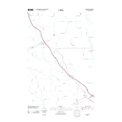 2013 Hixton2013 Print · USGSJackson County's coulee country is captured here in the early twenty-first century, showing the rural landscapes around the Trempealeau River. Family researchers and local historians can trace landmarks like Cain's Orchard, the heights of Chimney Rock, and the small settlement at Northfield.
 - 2013 Map of Taylor, 2013 Print
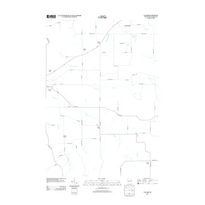 2013 Taylor2013 Print · USGSJackson County rural life is captured here in the early twenty-first century as the landscape transitions from the Trempealeau River to the upland coulees. Researchers can trace family-named geography and local settlements including Sechlerville, Disco, and Smith Coulee.
 - 2013 Map of Alma Center, 2013 Print
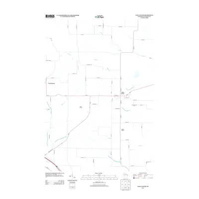 2013 Alma Center2013 Print · USGSAlma Center and the surrounding Jackson County countryside are documented here in the early twenty-first century. Researchers can trace land features like Silver Mound, the paths of the South Branch Trempealeau River, and rural sites such as Avon Road Jersey Farm.
 - 2015 Map of Taylor, 2015 Print
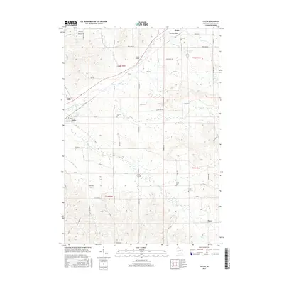 2015 Taylor2015 Print · USGSJackson County in the mid-2010s shows a landscape of deep coulees and historic rural crossroads. Genealogists and local researchers can trace family lands near numerous burial sites like Sechlerville Cem, Curran Cem, and the quiet settlement of Disco.
 - 2015 Map of Alma Center, 2015 Print
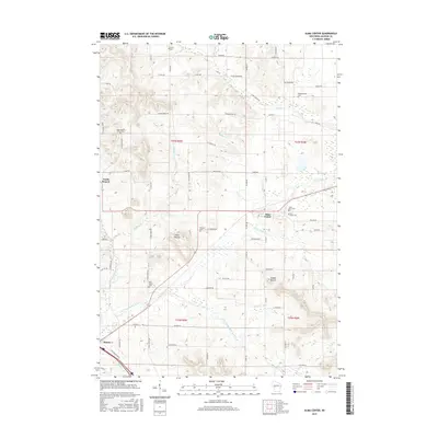 2015 Alma Center2015 Print · USGSJackson County's agricultural heartland is documented here in the mid-2010s, centered on the village of Alma Center. Researchers can locate several historic burial sites like Houghtonburg Cem and trace the paths of the N Br Trempealeau River past the landmark Silver Mound.
 - 2015 Map of Hixton, 2015 Print
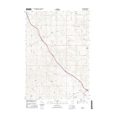 2015 Hixton2015 Print · USGSWisconsin's coulee country is documented here during the mid-2010s, showing the intersection of local history and rugged geography. Genealogists and historians can trace significant burial sites like Diphtheria Cem, Smallpox Cem, and Curran Coulee Cem or locate the distinct formations of Chimney Rock and Mound View Rock.
 - 2018 Map of Alma Center, 2018 Print
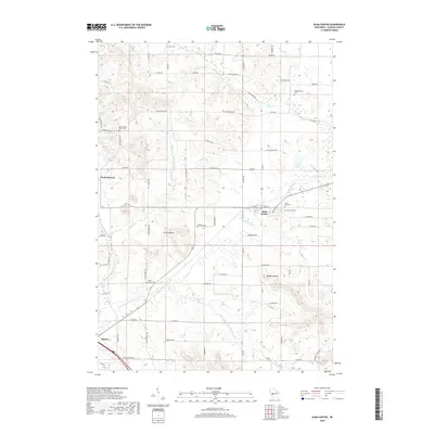 2018 Alma Center2018 Print · USGSWisconsin's Jackson County landscape is captured here in the late 2010s, showcasing the agricultural rhythms and rural settlements of the region. Researchers can locate numerous family and community burial sites like Stanford Cem and Pole Grove Cem near landmark peaks like Silver Mound.
 - 2018 Map of Hixton, 2018 Print
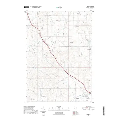 2018 Hixton2018 Print · USGSJackson County at the end of the 2010s shows a landscape of deep coulees and river valleys shaped by the Trempealeau River. Genealogists can find unique records at the Diphtheria Cem, Smallpox Cem, and the Curran Coulee Cem near the village of Hixton.
 - 2018 Map of Taylor, 2018 Print
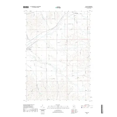 2018 Taylor2018 Print · USGSJackson County agriculture and quiet settlements like Taylor and Disco take center stage in the late 2010s. Researchers can trace family roots through several local burial grounds, including Sherwood Cem, Colwell Cem, and French Creek Cem.
Showing maps 1-25 of 28
Top cities near Hixton
- Black River Falls historical maps
- Brockway historical maps
- Osseo historical maps
- Blair historical maps
- Hale historical maps
- Irving historical maps
See more
Top neighborhoods of Hixton
Frequently asked questions
- What are the different types of historical maps available for Hixton?
- What is the oldest map of Hixton?
- Where can I purchase historical maps of Hixton for my home or office?
- Where can I download high-res historical maps of Hixton?
- Are there historical topographic maps available for Hixton?
- Is there historical aerial imagery available for Hixton?
- Where are historical maps of Hixton sourced from?