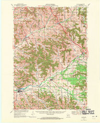
1968 Map of Blair
USGS Topo · Published 1971About this map
The Trempealeau River winds through this West Central Wisconsin landscape, anchoring a valley where the Green Bay and Western railroad serves the established communities of Blair and Taylor. The late 1960s terrain is marked by a complex network of coulees and ridges, with the Trempealeau and Jackson County line bisecting the survey area. Distinctive community hubs such as Pigeon Falls and Hixton appear alongside smaller settlements like Sechlerville and Disco.
Find a feature on this map
56 named features on this map. Tap any name to fly to it.
Don’t see what you’re looking for? This feature index may not catch every label — zoom into the map to look around manually.
Map Details
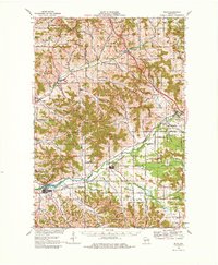
Editions of this 1968 Blair Map
2 editions found
Other maps of this area

1924 · Black River Falls
USGS Topo · 1:62,500

1926 · Black River Falls
USGS Topo · 1:62,500

1926 · North Bend
USGS Topo · 1:62,500

1926 · Whitehall
USGS Topo · 1:62,500

1927 · Blair
USGS Topo · 1:62,500

1927 · Strum
USGS Topo · 1:62,500

1928 · Melrose
USGS Topo · 1:48,000

1929 · Whitehall
USGS Topo · 1:62,500

1929 · Galesville
USGS Topo · 1:62,500

1929 · North Bend
USGS Topo · 1:62,500