Loading...
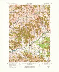
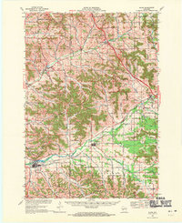
Loading map...1968 Map of Blair
USGS Topo · Published 1980About this map
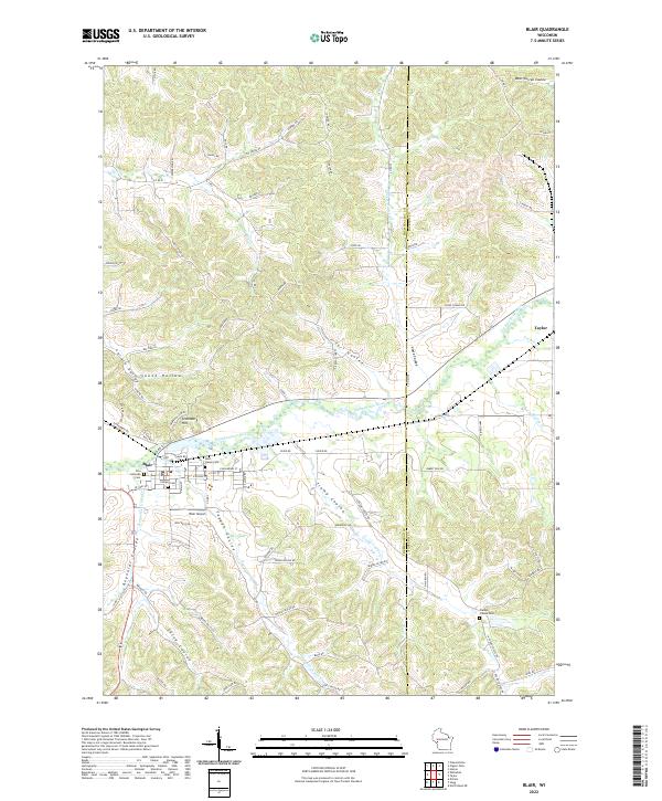
Trempealeau River valleys and the surrounding high ridges of West-Central Wisconsin define this 1968 landscape, captured just before major modern developments altered the rural character of the region. The Green Bay and Western Railroad serves as a central artery for the corridor, connecting the settlements of Blair and Taylor with the neighboring hills. The map reveals a deeply etched terrain of coulees, such as Hegge Coulee and Turi Coulee, where small farmsteads and rural schools once clustered along the creek beds.
Find a feature on this map
68 named features on this map. Tap any name to fly to it.
Don’t see what you’re looking for? This feature index may not catch every label — zoom into the map to look around manually.
Map Details
Date Portrayed1968
Date Published1980
PublisherU.S. Geological Survey
Map TypeTopographic
Scale1:62,500
Physical Dimensions18.25 x 22.17 inches
Editions of this 1968 Blair Map
2 editions found
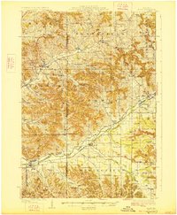
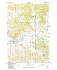
Historical Maps of Blair Through Time
4 maps found
Featured Locations
Source Details
SourceU.S. Geological Survey
CopyrightPublic Domain