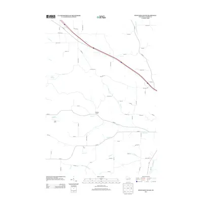
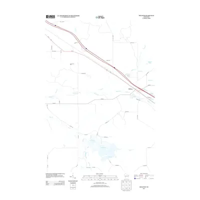
Old Maps of Manchester, Wisconsin for Academic Research
Study the evolution of Manchester with 41 high-resolution historic maps. Whether you're teaching, researching, or modeling changes in land use, these maps provide essential visual documentation of urban, environmental, and geographic change.
- Analyze long-term change: Track patterns in development, transportation, and natural features.
- Ideal for environmental or urban studies: Support academic projects with primary historical map data.
- Use in the classroom or lab: Educators and researchers rely on these maps to bring historical context to life.
These maps are a powerful tool for teaching, research, and visualizing how Manchester has changed over the decades.
Manchester, WI maps
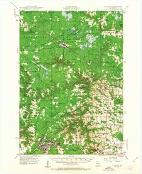
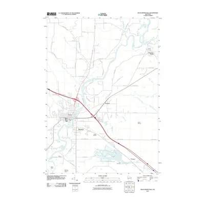
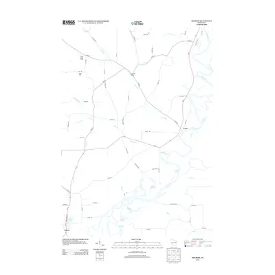
(41)- 1924 Map of Black River Falls, 1963 Print
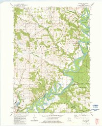
 1924 Black River Falls1963 Print · USGSBlack River Falls and the surrounding central Wisconsin hills are captured in the mid-1920s during a period of established rail transport and rural education. Genealogists can trace a dense network of country schools and settlements including Winnebago Mission, Charter Oak Mill, and Vaudreuil.2 unique versions available
 - 1926 Map of Black River Falls
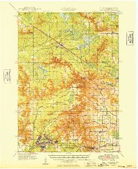
 1926 Black River Falls1926 Print · USGSJackson County is shown during a period of steady rural growth in the 1920s, centered on the bustling river town of Black River Falls. Local historians can trace dozens of rural schoolhouses and vanished sidings like Vaudreuil and Sheppard along the rail lines.
 - 1928 Map of Melrose
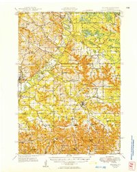
 1928 Melrose1928 Print · USGSThe Black River valley in the late nineteen-twenties was a landscape of ridge-top farms and valley-floor schools. Genealogists can trace family footprints through numerous rural landmarks like Irving School No 6, Sand Creek Cem, and Wadels Hill.
 - 1947 Map of Millston, 1963 Print
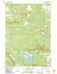
 1947 Millston1963 Print · USGSMid-century Jackson and Monroe counties are captured here just after the war, showing the expansion of military and rail infrastructure. Genealogists can locate family sites near North Tomah or trace rural landmarks like Tarr Valley Sch and La Grange Cem.4 unique versions available
 - 1949 Map of Millston
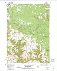
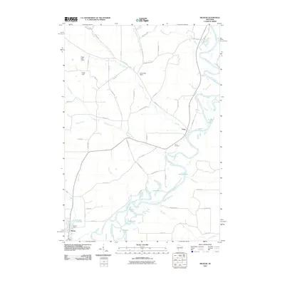
 1949 Millston1949 Print · USGSWisconsin's central cranberry and timber country is captured here in the late 1940s as the regional rail network anchored rural life. Researchers can trace the layout of the Camp McCoy Military Reservation or locate family sites near Millston, Tunnel City, and several rural schoolhouses like White School.
 - 1949 Map of Melrose
 1949 Melrose1949 Print · USGSJackson and Monroe Counties appear here in the late 1940s as a thriving patchwork of valley farms and small rural hubs. Genealogists can locate dozens of family-named landmarks and institutions, from the Little Norway Ch and Irving Cem to the Jenkins Valley Sch.
 - 1953 Map of Eau Claire, 1965 Print
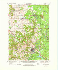
 1953 Eau Claire1965 Print · USGSWest-central Wisconsin in the mid-fifties shows a landscape of river-valley industry and vast wildlife refuges during the transition from rails to modern highways. Genealogists and historians can trace the rail corridors of the Chicago and North Western or locate family-named landmarks like Decorah Mound and Chippewa Island.4 unique versions available
 - 1958 Map of Eau Claire
 1958 Eau Claire1958 Print · USGSWestern Wisconsin in the late fifties shows a landscape of growing regional hubs and massive wildlife refuges. Trace the rail lines of the Chicago and North Western between Eau Claire and Marshfield, or explore the terrain around Iron Mound and Lake Wissota.
 - 1964 Map of Eau Claire
 1964 Eau Claire1964 Print · USGSWest-central Wisconsin in the mid-1960s was a hub of river-driven industry and expanding rail networks. Researchers can trace historic homesteads near Menomonie, follow the Soo Line RR through Marshfield, or explore the grounds of the Camp McCoy Military Reservation.
 - 1968 Map of Black River Falls, 1971 Print
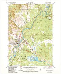
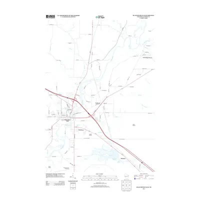
 1968 Black River Falls1971 Print · USGSThe Black River valley comes alive in this late-sixties survey, showing the busy rail junction at Merrillan and the growing county seat at Black River Falls. Genealogists and historians can trace local roots at the Winnebago Mission, Cloverdale School, and Stanford Cem.
 - 1983 Map of Melrose, 1984 Print
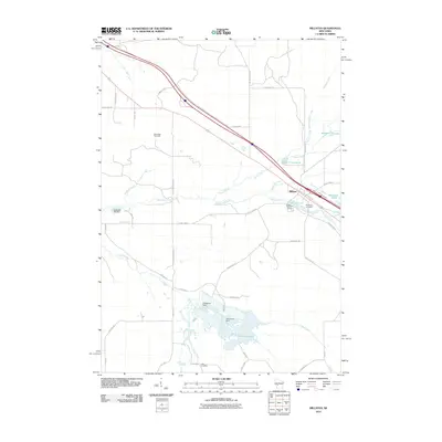
 1983 Melrose1984 Print · USGSJackson County river life and rural townships are captured here in the early 1980s. You can trace family plots at St Malachys Cem Ch and follow the winding Black River past Horse Shoe Lake and Irving.
 - 1983 Map of Millston, 1984 Print
 1983 Millston1984 Print · USGSMillston and the surrounding Jackson County wetlands are captured here in the early eighties, showing the town's alignment with the railroad. Researchers can locate Brookside Cem, the industrial Shale Pit, and the extensive Cranberry Bogs.2 unique versions available
 - 1983 Map of Shamrock, 1984 Print
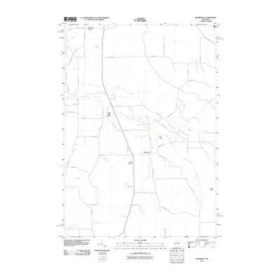
 1983 Shamrock1984 Print · USGSJackson and Monroe County landscapes come together in the early 1980s, centered on the rural crossroads of Shamrock. Genealogists and local historians can trace family-named routes like Kelly Road to find St Calumkille, Gospel Hall, and the scenic Fall Hall Glen.
 - 1984 Map of Stenulson Coulee
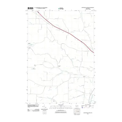
 1984 Stenulson Coulee1984 Print · USGSJackson County agriculture meets the edge of the Black River State Forest in the mid-1980s. Genealogists can locate family burial sites at Stiehl Cem and Pine Creek Cem or trace rural life through landmarks like Charcoal Kilns.
 - 1984 Map of Black River Falls
 1984 Black River Falls1984 Print · USGSBlack River Falls and the surrounding Jackson County forests are captured in the mid-1980s, showcasing a landscape of river-driven industry and cranberry agriculture. Researchers can trace local roots at Decorah Cem, Gebhardt Sch, and the old rail corridors of the Chicago and North Western.
 - 1985 Map of Black River Falls
 1985 Black River Falls1985 Print · USGSCentral Wisconsin in the mid-1980s is defined by its sprawling wildlife refuges and the winding Black River corridor. Genealogists and researchers can trace rural settlements like Millston and Warrens or locate historical sites such as the Iron Mine and the grounds of Fort McCoy.2 unique versions available
 - 2010 Map of Shamrock, 2010 Print
 2010 Shamrock2010 Print · USGSCovers Manchester, including Brockway, Irving, and other nearby areas
 - 2010 Map of Millston, 2010 Print
 2010 Millston2010 Print · USGSCovers Manchester, including Brockway, Millston, and other nearby areas
 - 2010 Map of Melrose, 2010 Print
 2010 Melrose2010 Print · USGSCovers Manchester, including Irving, Melrose, and other nearby areas
 - 2010 Map of Stenulson Coulee, 2010 Print
 2010 Stenulson Coulee2010 Print · USGSCovers Manchester, including Alma, Hixton, and other nearby areas
 - 2010 Map of Black River Falls, 2010 Print
 2010 Black River Falls2010 Print · USGSCovers Manchester, including Black River Falls, Brockway, and other nearby areas
 - 2013 Map of Stenulson Coulee, 2013 Print
 2013 Stenulson Coulee2013 Print · USGSCovers Manchester, including Alma, Hixton, and other nearby areas
 - 2013 Map of Millston, 2013 Print
 2013 Millston2013 Print · USGSCovers Manchester, including Brockway, Millston, and other nearby areas
 - 2013 Map of Black River Falls, 2013 Print
 2013 Black River Falls2013 Print · USGSCovers Manchester, including Black River Falls, Brockway, and other nearby areas
 - 2013 Map of Melrose, 2013 Print
 2013 Melrose2013 Print · USGSCovers Manchester, including Irving, Melrose, and other nearby areas
Showing maps 1-25 of 41
Top cities near Manchester
- Sparta historical maps
- Black River Falls historical maps
- Brockway historical maps
- Angelo historical maps
- Burns historical maps
- Irving historical maps
See more
Top neighborhoods of Manchester
Frequently asked questions
- What are the different types of historical maps available for Manchester?
- What is the oldest map of Manchester?
- Where can I purchase historical maps of Manchester for my home or office?
- Where can I download high-res historical maps of Manchester?
- Are there historical topographic maps available for Manchester?
- Is there historical aerial imagery available for Manchester?
- Where are historical maps of Manchester sourced from?