2020s Maps of Langlade County, Wisconsin
Explore 28 historic maps of Langlade County from the 2020s. These maps offer a rare glimpse into what life looked like during the 2020s — showing old roads, neighborhoods, homes, and landmarks that have changed or disappeared over time.
Whether you're researching your family's past, planning a metal detecting trip, or studying how Langlade County's landscape evolved across the 2020s, these high-resolution maps are a powerful tool for exploring the history of this region.
- Focus on a specific era: All maps on this page are from the 2020s, giving you a focused view of this time period.
- See what’s changed: Compare century-old streets, trails, and buildings to today's modern landscape using overlays and satellite layers.
- Research with precision: Use these maps for genealogy, historical research, land use analysis, or educational projects.
- View, download, or print: Maps are fully viewable online in high resolution, and can be downloaded or printed for your own records.
Start exploring Langlade County's history through authentic maps from the 2020s. This is your window into the past.
Langlade County, WI maps
(28)- 2022 Map of White Lake, 2022 Print
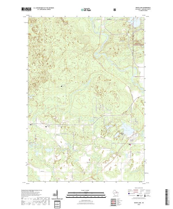 2022 White Lake2022 Print · USGSLanglade County's timberlands and river corridors are captured here in the early twenty-first century, showing the village of White Lake and the northern settlement of Hollister. Researchers can trace rural lineages at Ark of the Lord Cem or explore the many springs like Stillhouse Springs and Galyan Springs.
 - 2022 Map of Markton, 2022 Print
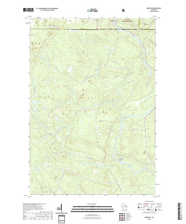 2022 Markton2022 Print · USGSMenominee County is centered on the wild waters of the Wolf River in the early 2020s. Genealogists and river historians can trace the paths of BIA Rte 122 and locate historic river landmarks like Saturday Islands and Evergreen Falls.
 - 2022 Map of Polar, 2022 Print
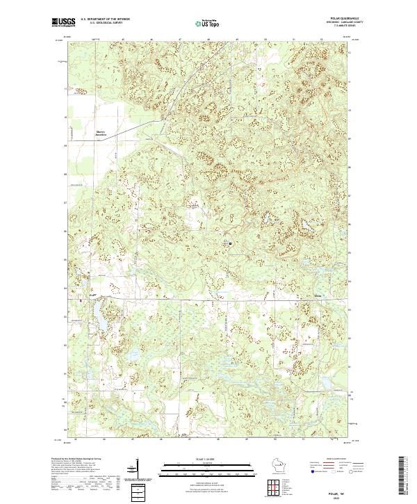 2022 Polar2022 Print · USGSLanglade County's glacial landscape is captured here in the early 2020s, showing a terrain defined by kettle lakes and springs. Genealogists and hikers can trace the Ice-Age National Scenic Trl past Sherry Cem and the small settlements of Polar and Elton.
 - 2022 Map of Lily, 2022 Print
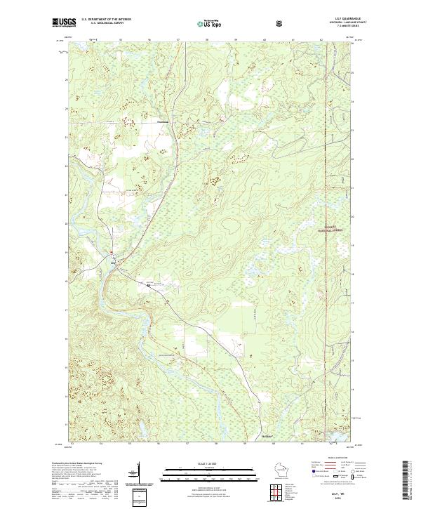 2022 Lily2022 Print · USGSLanglade County's wooded interior is documented here during the early twenty-first century, showcasing a landscape of dense forests and river rapids. Researchers can trace local history through the Lily Cem and settlements like Lily and Hollister.
 - 2022 Map of Parrish, 2022 Print
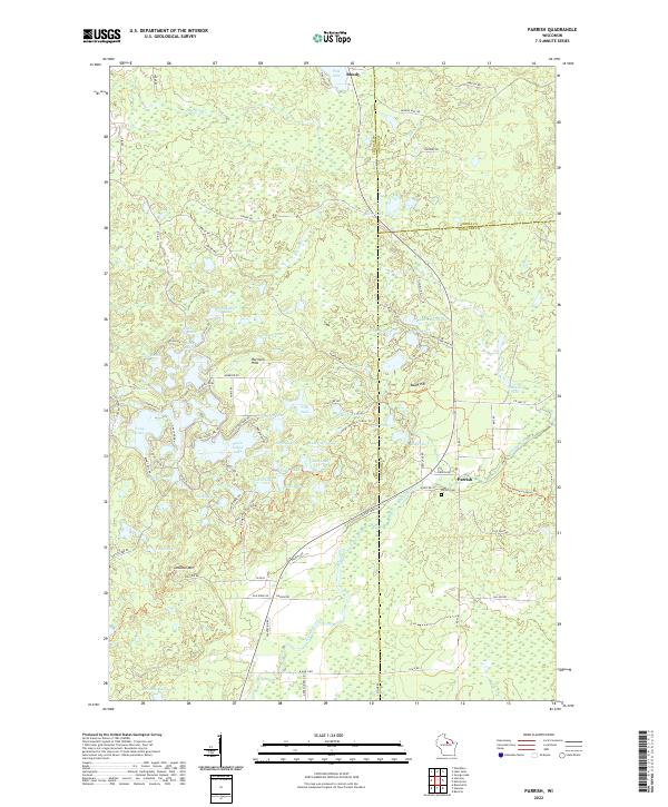 2022 Parrish2022 Print · USGSLincoln County’s lake country is captured in this modern survey, showing the deep glacial legacy of the Harrison Hills. Researchers can locate the Parrish Cemetery and trace old routes through the woods between Parrish and Bundy near Seven Island Lake.
 - 2022 Map of Antigo, 2022 Print
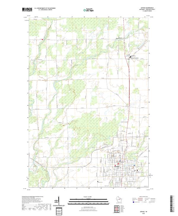 2022 Antigo2022 Print · USGSAntigo and the surrounding Langlade County countryside are shown here in the early twenty-first century, anchored by the river forks and a grid of rural homesteads. Genealogists can locate family sites across five different cemeteries, including Saint Wencel's Catholic Cem and Bohemian National Cem.
 - 2022 Map of Doering, 2022 Print
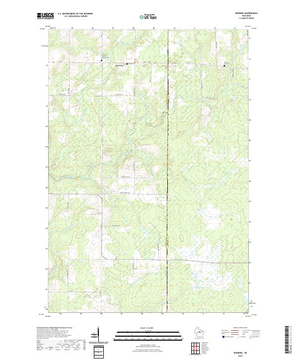 2022 Doering2022 Print · USGSLincoln County at the start of the 2020s shows a landscape of river-fed wetlands and quiet rural crossroads. Researchers can locate family sites near the Emmanuel Lutheran Memorial Cem or trace the waters of the N Br Pine River and Oxbo Creek.
 - 2022 Map of Elcho, 2022 Print
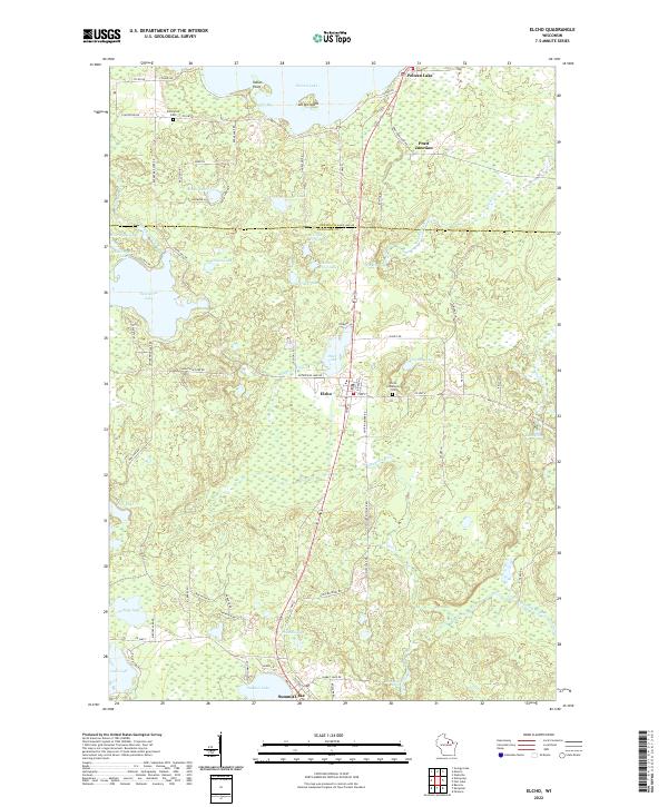 2022 Elcho2022 Print · USGSThe Wisconsin Northwoods around the Oneida and Langlade county line are shown here as they appear in the early 2020s. Genealogists and researchers can trace local landmarks like the Elcho Community Cem, the settlement of Pratt Junction, and the winding course of the Hunting River.
 - 2022 Map of Black Brook, 2022 Print
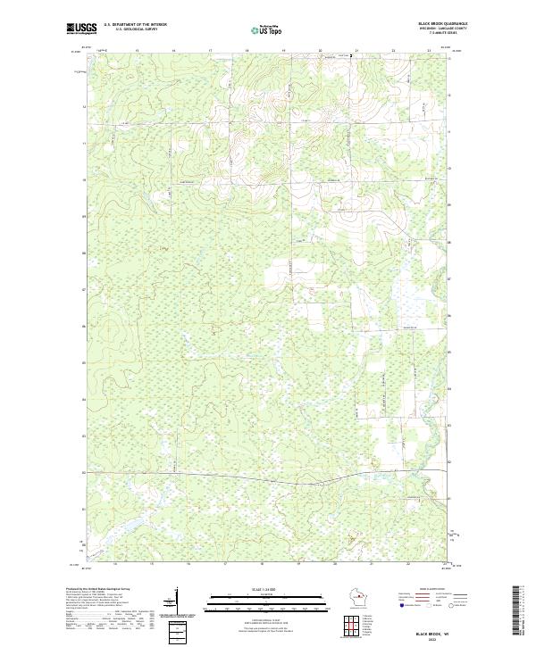 2022 Black Brook2022 Print · USGSLanglade County's forest and river networks are captured here in the early twenty-first century. Genealogists and local historians can locate the Peck Cem and trace the paths of Black Brook and the West Branch Eau Claire River.
 - 2022 Map of Aniwa, 2022 Print
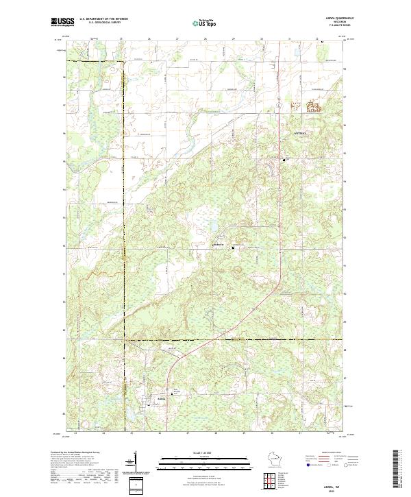 2022 Aniwa2022 Print · USGSThe borderlands of Marathon, Langlade, and Shawano counties are captured here in the early 2020s, showing a landscape of dense wetlands and rural settlements. Researchers can locate family heritage sites like Saint Boniface Cem and Hall Pioneer Cem, or trace the path of the Ice Age National Scenic Trl past Bear Lake.
 - 2022 Map of Gleason, 2022 Print
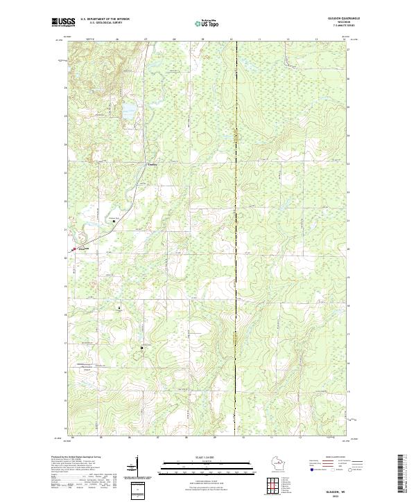 2022 Gleason2022 Print · USGSCentral Wisconsin’s riverfront settlements and immigrant heritage are captured here in the early twenty-first century. Researchers can trace local lineage through the Gleason Cem, Latvian Cem, and Estonian Cem, or follow the banks of the Prairie River.
 - 2022 Map of Mattoon, 2022 Print
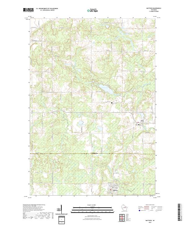 2022 Mattoon2022 Print · USGSThe village of Mattoon and the community of Phlox are captured here in the early 2020s, situated along the Langlade and Shawano county line. Researchers can trace local heritage at Saint Joseph's Cem or explore the drainage of the Red River and Moose Lake.
 - 2022 Map of Kalinke, 2022 Print
 2022 Kalinke2022 Print · USGSMarathon County rural life and drainage patterns are detailed in this recent survey. Researchers can trace family sites at Zion Cemetery or follow the waters of the Trappe River and Big Sandy Creek.
 - 2022 Map of Bryant, 2022 Print
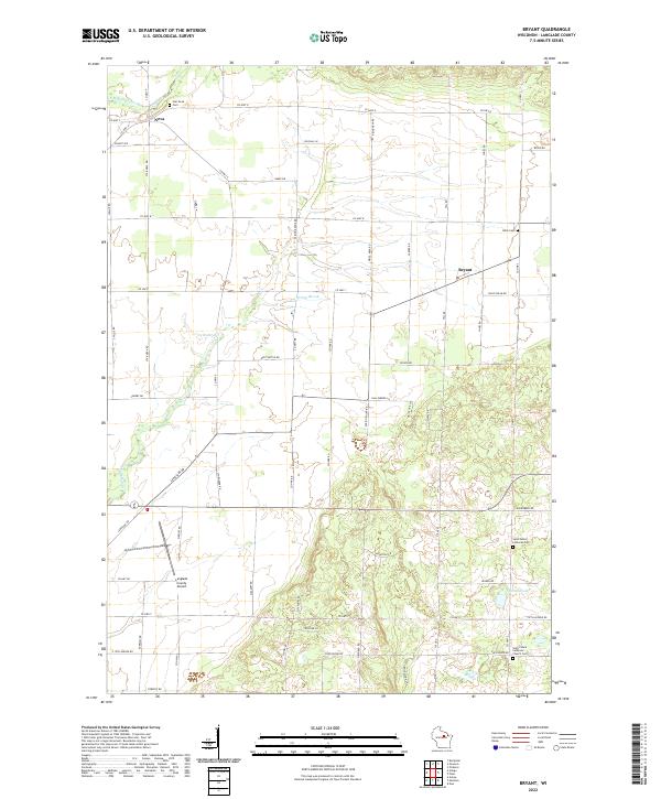 2022 Bryant2022 Print · USGSLanglade County's rural character is preserved in this recent survey of the Bryant area, where family farms meet glacial lakes. Genealogists can trace local history through Star Neva Cem, Bent Cem, and the community surrounding Schmuhl Lake.
 - 2022 Map of Hogarty, 2022 Print
 2022 Hogarty2022 Print · USGSMarathon County's river valleys and timberlands are mapped here in the early twenty-first century, showing the rural character of the Northwoods. Genealogists and hikers can trace the Ice Age National Scenic Trl or locate the Bethany Cem near Hogarty.
 - 2022 Map of Pearson, 2022 Print
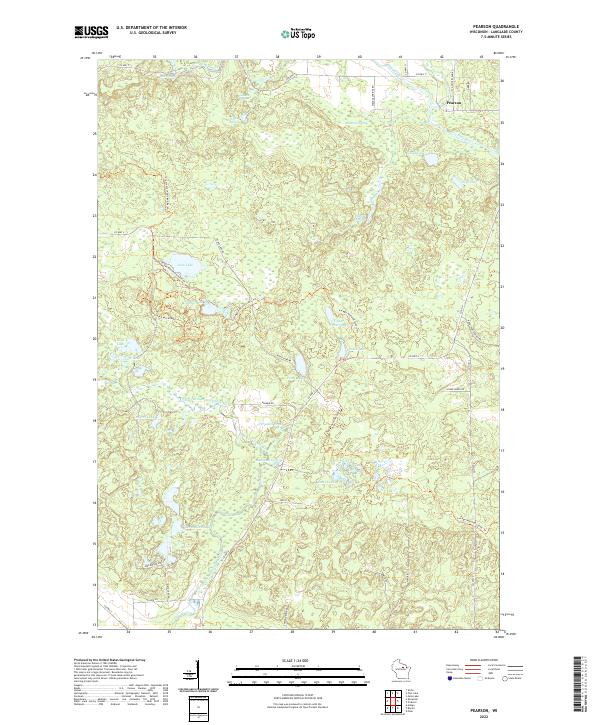 2022 Pearson2022 Print · USGSThis part of Langlade County near the northern reaches of the Wolf River is documented here in the early twenty-first century. Outdoor enthusiasts and local historians can trace the Ice Age National Scenic Trl past Jack Lake and Pence Lake.
 - 2022 Map of Langlade, 2022 Print
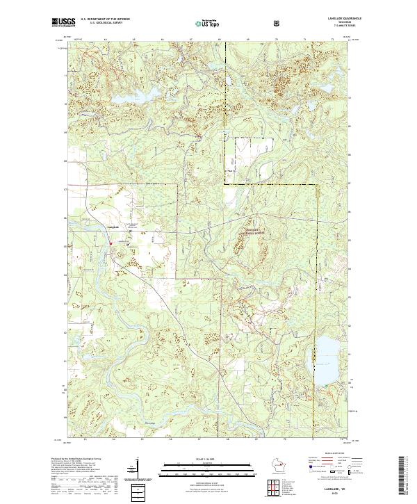 2022 Langlade2022 Print · USGSThe Northwoods around Langlade and the Wolf River are documented here in the early 2020s, showing a landscape of glacial lakes and recreational trails. You can locate family sites at Saint Stanislaus Catholic Church Cem or trace the river's path past Horse Race Rapids and Boulder Lake.
 - 2022 Map of Mole Lake, 2022 Print
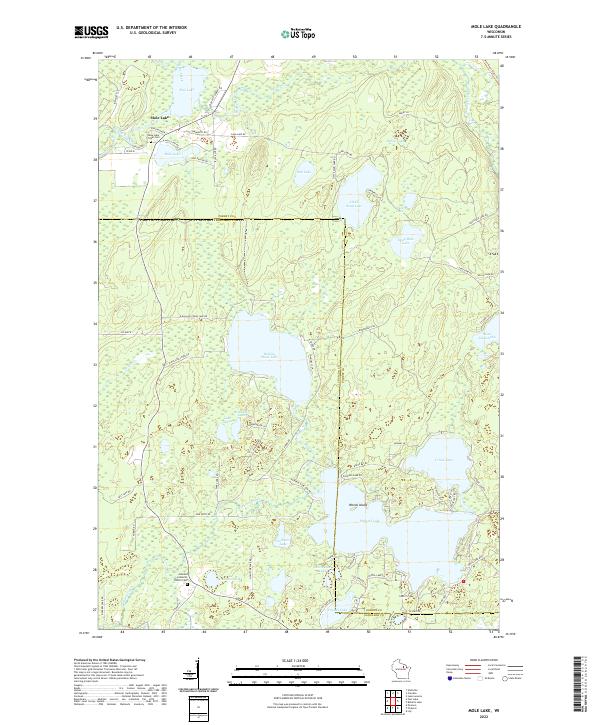 2022 Mole Lake2022 Print · USGSThe Mole Lake region of northern Wisconsin is shown here as a dense landscape of glacial lakes and tribal lands. Researchers can locate the Mole Lake Tribal Cem, trace family roots near Arbutus Lutheran Church, or map the shorelines of Rolling Stone Lake and Pickerel Lake.
 - 2022 Map of Wabeno, 2022 Print
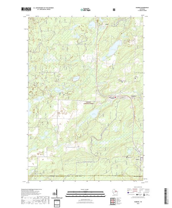 2022 Wabeno2022 Print · USGSForest County's timber and lake country is captured here during the early twenty-first century, centered on the historic lumber towns of Wabeno and Soperton. Researchers can locate several community landmarks including Saint Ambrose Cem, the Nicolet State Trl, and the waters of Trump Lake.
 - 2022 Map of Zoar, 2022 Print
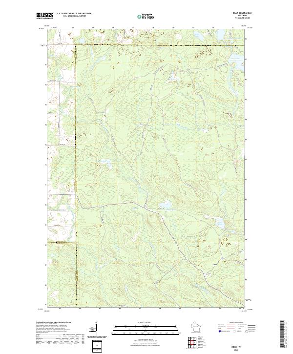 2022 Zoar2022 Print · USGSThe settlement of Zoar and the surrounding Menominee Indian Reservation lands are documented here in the early twenty-first century. Researchers can trace the courses of the Red River and West Branch Wolf River or locate Red Springs and Lake Neconish.
 - 2022 Map of Reservoir Pond, 2022 Print
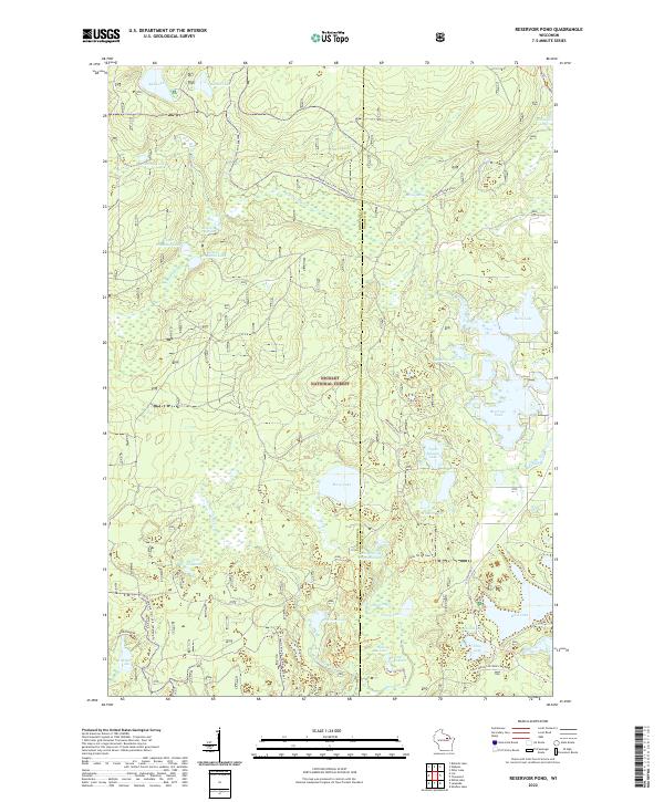 2022 Reservoir Pond2022 Print · USGSThe Nicolet National Forest in the early 2020s reveals a landscape defined by glacial lakes and forest trails. Genealogists and outdoorsmen can trace the shores of Reservoir Pond, McCaslin Spring, and the Jones Spring Impoundment at the Langlade-Oconto county line.
 - 2022 Map of Roberts Lake, 2022 Print
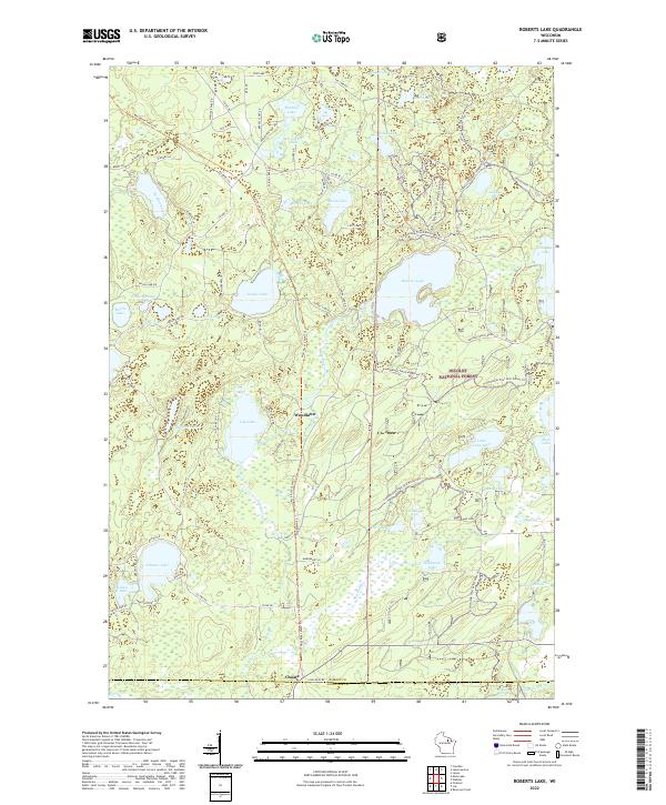 2022 Roberts Lake2022 Print · USGSThe Northwoods of Forest County are revealed in this modern survey of the high-lake country where the Wolf River begins. Researchers can trace local landmarks like Starks Settlement/Roberts Lane and the remote outpost at Woodlawn.
 - 2022 Map of Bavaria, 2022 Print
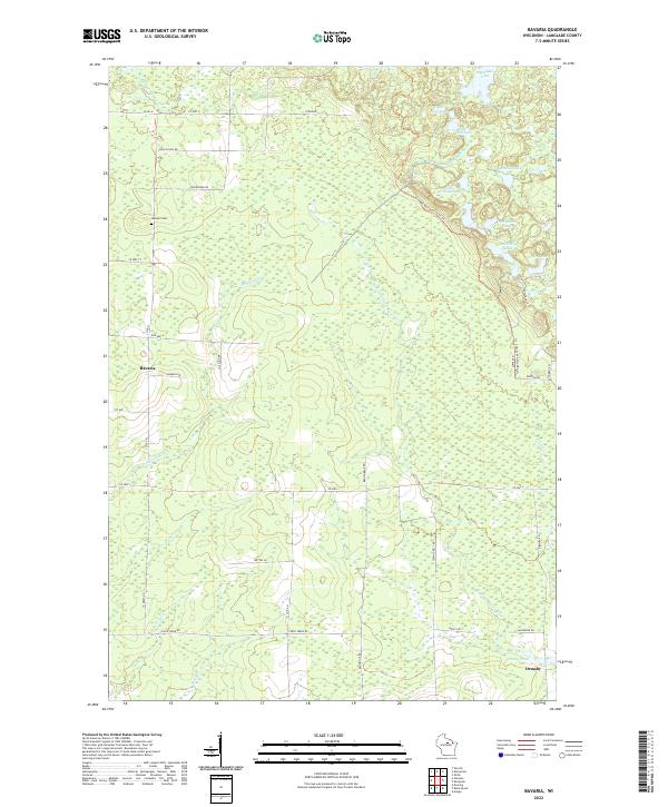 2022 Bavaria2022 Print · USGSLanglade County's forest and wetland landscape is captured here in the early twenty-first century, showing the rural communities of Bavaria and Ormsby. Researchers can trace local history at the Gleason Cem or follow the modern path of the Ice Age National Scenic Trl.
 - 2022 Map of Enterprise, 2022 Print
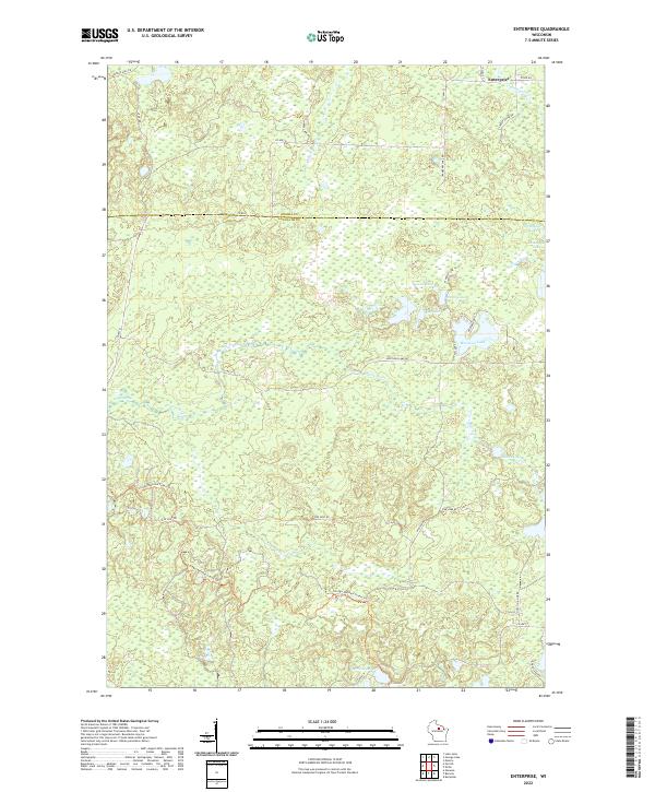 2022 Enterprise2022 Print · USGSWisconsin's northwoods are captured in the early 21st century at the border of Oneida and Langlade counties. Trace the winding Ice Age National Scenic Trl or explore the many shorelines of Moccasin Lake, Enterprise Cr, and Bog Lake.
 - 2023 Map of Perote Lake, 2023 Print
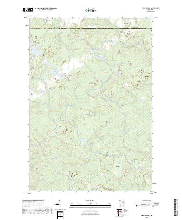 2023 Perote Lake2023 Print · USGSMenominee Indian Reservation lands are documented here in the early twenty-first century, showing the settlement of Neopit and its surrounding forests. Researchers can trace the hydrography of the West Branch Wolf River and find family-named waters like Teabeau Lake and Frechette Lake.
Showing maps 1-25 of 28
Top cities of Langlade County
- Antigo historical maps
- Elcho historical maps
- Polar historical maps
- Neva historical maps
- Langlade historical maps
- White Lake historical maps
See more
Frequently asked questions
- What are the different types of historical maps available for Langlade County?
- What is the oldest map of Langlade County?
- Where can I purchase historical maps of Langlade County for my home or office?
- Where can I download high-res historical maps of Langlade County?
- Are there historical topographic maps available for Langlade County?
- Is there historical aerial imagery available for Langlade County?
- Where are historical maps of Langlade County sourced from?