2000s (21st Century) Maps of Langlade County, Wisconsin
Explore 140 historic maps of Langlade County from the 2000s (21st Century). These maps offer a rare glimpse into what life looked like during the 2000s — showing old roads, neighborhoods, homes, and landmarks that have changed or disappeared over time.
Whether you're researching your family's past, planning a metal detecting trip, or studying how Langlade County's landscape evolved across the 2000s, these high-resolution maps are a powerful tool for exploring the history of this region.
- Focus on a specific era: All maps on this page are from the 2000s, giving you a focused view of this time period.
- See what’s changed: Compare century-old streets, trails, and buildings to today's modern landscape using overlays and satellite layers.
- Research with precision: Use these maps for genealogy, historical research, land use analysis, or educational projects.
- View, download, or print: Maps are fully viewable online in high resolution, and can be downloaded or printed for your own records.
Start exploring Langlade County's history through authentic maps from the 2000s. This is your window into the past.
Langlade County, WI maps
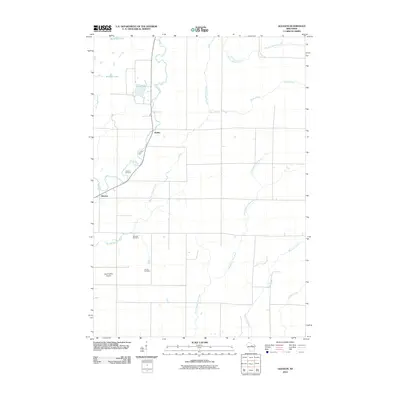
(140)- 2010 Map of Enterprise, 2010 Print
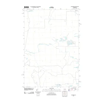 2010 Enterprise2010 Print · USGSCovers Langlade County, including Elcho, Enterprise, and other nearby areas
 - 2010 Map of Doering, 2010 Print
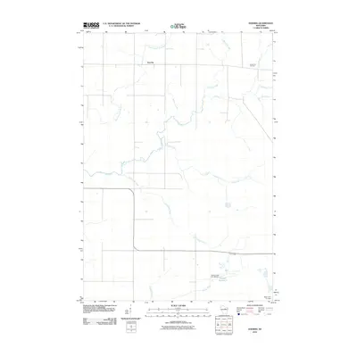 2010 Doering2010 Print · USGSCovers Langlade County, including Pine River, Doering, and other nearby areas
 - 2010 Map of Aniwa, 2010 Print
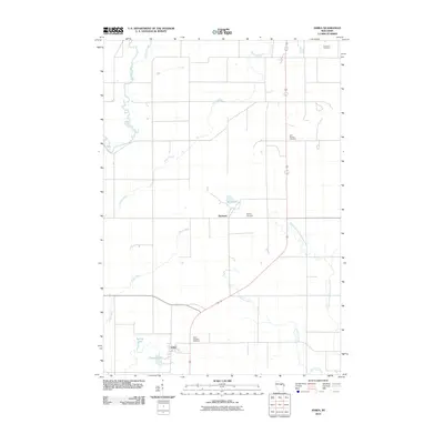 2010 Aniwa2010 Print · USGSCovers Langlade County, including Antigo, Aniwa, and other nearby areas
 - 2010 Map of Pickerel, 2010 Print
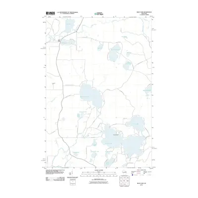
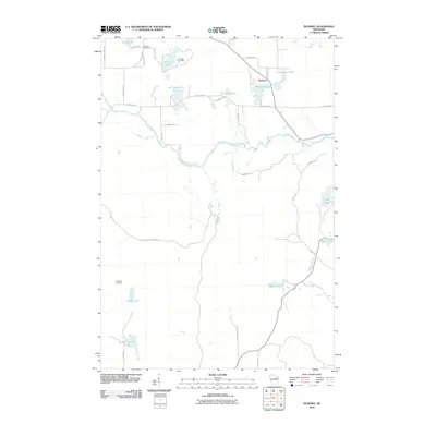 2010 Pickerel2010 Print · USGSCovers Langlade County, including Langlade, Price, and other nearby areas
 - 2010 Map of Black Brook, 2010 Print
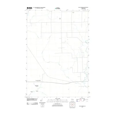 2010 Black Brook2010 Print · USGSCovers Langlade County, including Vilas, Peck, and other nearby areas
 - 2010 Map of Gleason, 2010 Print
 2010 Gleason2010 Print · USGSCovers Langlade County, including Dudley, Gleason, and other nearby areas
 - 2010 Map of Hogarty, 2010 Print
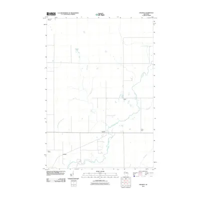 2010 Hogarty2010 Print · USGSCovers Langlade County, including Hewitt, Hogarty, and other nearby areas
 - 2010 Map of Bryant, 2010 Print
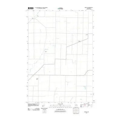 2010 Bryant2010 Print · USGSCovers Langlade County, including Polar, Neva, and other nearby areas
 - 2010 Map of Mole Lake, 2010 Print
 2010 Mole Lake2010 Print · USGSCovers Langlade County, including Nashville, Langlade, and other nearby areas
 - 2010 Map of Mattoon, 2010 Print
 2010 Mattoon2010 Print · USGSCovers Langlade County, including Polar, Mattoon, and other nearby areas
 - 2010 Map of Kempster, 2010 Print
 2010 Kempster2010 Print · USGSCovers Langlade County, including Neva, Kempster, and other nearby areas
 - 2010 Map of Post Lake, 2010 Print
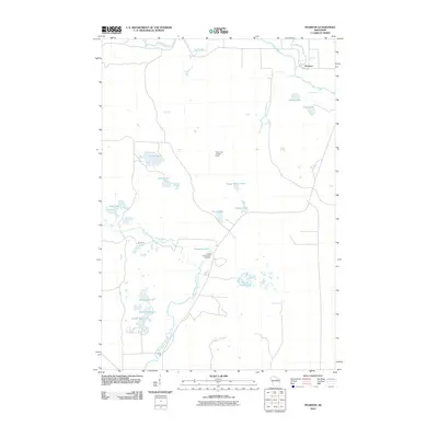
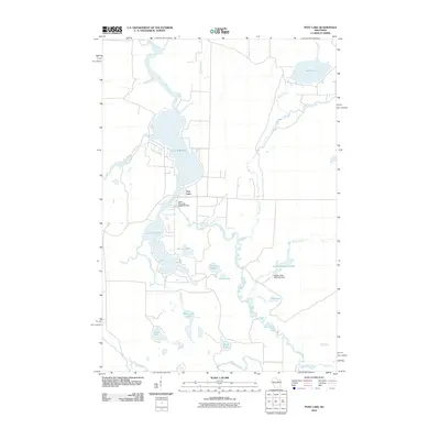 2010 Post Lake2010 Print · USGSCovers Langlade County, including Elcho, Nashville, and other nearby areas
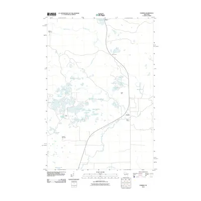
 - 2010 Map of Elcho, 2010 Print
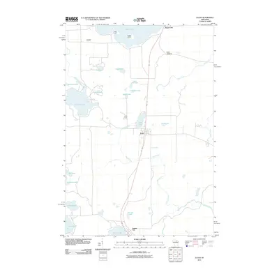 2010 Elcho2010 Print · USGSCovers Langlade County, including Elcho, Enterprise, and other nearby areas
 - 2010 Map of Kalinke, 2010 Print
 2010 Kalinke2010 Print · USGSCovers Langlade County, including Pine River, Wausau, and other nearby areas
 - 2010 Map of Pearson, 2010 Print
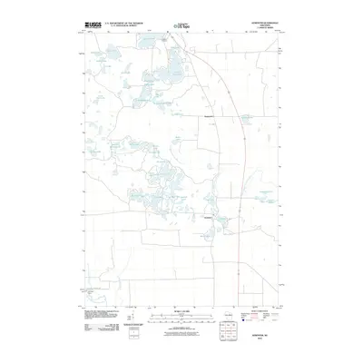
 2010 Pearson2010 Print · USGSCovers Langlade County, including Neva, Price, and other nearby areas
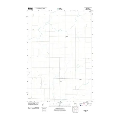
 - 2010 Map of Antigo, 2010 Print
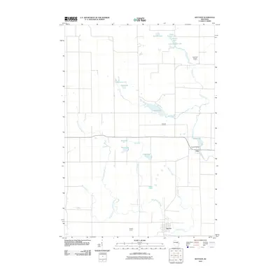
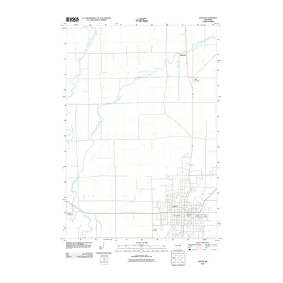 2010 Antigo2010 Print · USGSCovers Langlade County, including Antigo, Neva, and other nearby areas
 - 2010 Map of Perote Lake, 2010 Print
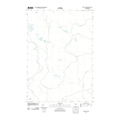 2010 Perote Lake2010 Print · USGSCovers Langlade County, including Evergreen, Menominee, and other nearby areas
 - 2010 Map of Parrish, 2010 Print
 2010 Parrish2010 Print · USGSCovers Langlade County, including Harrison, Enterprise, and other nearby areas
 - 2010 Map of Bavaria, 2010 Print
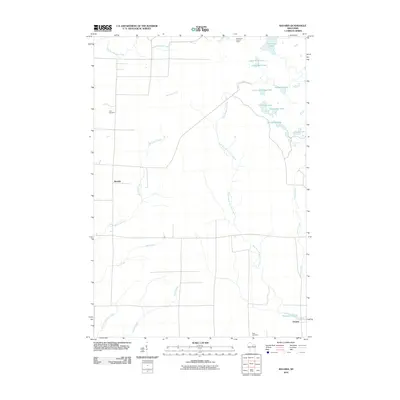 2010 Bavaria2010 Print · USGSCovers Langlade County, including Bavaria, Vilas, and other nearby areas
 - 2010 Map of Polar, 2010 Print
 2010 Polar2010 Print · USGSCovers Langlade County, including Polar, Langlade, and other nearby areas
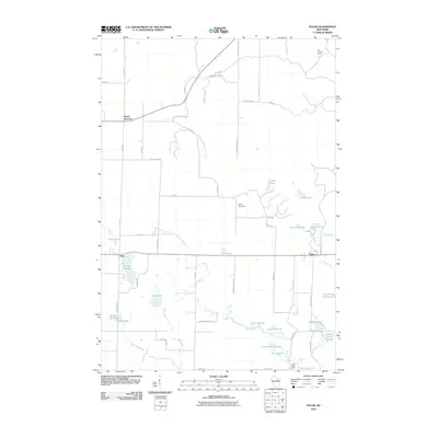
 - 2010 Map of Zoar, 2010 Print
 2010 Zoar2010 Print · USGSCovers Langlade County, including Polar, Zoar, and other nearby areas
 - 2011 Map of Markton, 2011 Print
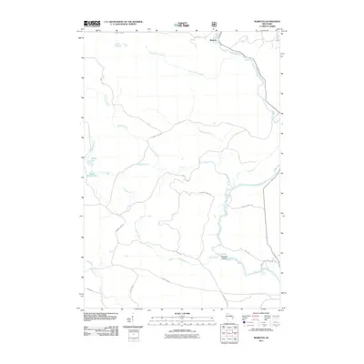 2011 Markton2011 Print · USGSCovers Langlade County, including Doty, Markton, and other nearby areas
 - 2011 Map of Lily, 2011 Print
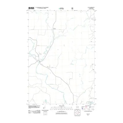 2011 Lily2011 Print · USGSCovers Langlade County, including Langlade, Freeman, and other nearby areas
 - 2011 Map of White Lake, 2011 Print
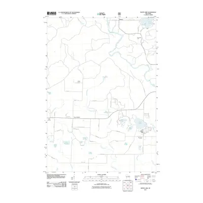 2011 White Lake2011 Print · USGSCovers Langlade County, including Langlade, White Lake, and other nearby areas
 - 2011 Map of Reservoir Pond, 2011 Print
 2011 Reservoir Pond2011 Print · USGSCovers Langlade County, including Townsend, Doty, and other nearby areas
Showing maps 1-25 of 140
Top cities of Langlade County
- Antigo historical maps
- Elcho historical maps
- Polar historical maps
- Neva historical maps
- Langlade historical maps
- White Lake historical maps
See more
Frequently asked questions
- What are the different types of historical maps available for Langlade County?
- What is the oldest map of Langlade County?
- Where can I purchase historical maps of Langlade County for my home or office?
- Where can I download high-res historical maps of Langlade County?
- Are there historical topographic maps available for Langlade County?
- Is there historical aerial imagery available for Langlade County?
- Where are historical maps of Langlade County sourced from?