2000s (21st Century) Maps of Elcho, Wisconsin
Explore 15 historic maps of Elcho from the 2000s (21st Century). These maps offer a rare glimpse into what life looked like during the 2000s — showing old roads, neighborhoods, homes, and landmarks that have changed or disappeared over time.
Whether you're researching your family's past, planning a metal detecting trip, or studying how Elcho's landscape evolved across the 2000s, these high-resolution maps are a powerful tool for exploring the history of this region.
- Focus on a specific era: All maps on this page are from the 2000s, giving you a focused view of this time period.
- See what’s changed: Compare century-old streets, trails, and buildings to today's modern landscape using overlays and satellite layers.
- Research with precision: Use these maps for genealogy, historical research, land use analysis, or educational projects.
- View, download, or print: Maps are fully viewable online in high resolution, and can be downloaded or printed for your own records.
Start exploring Elcho's history through authentic maps from the 2000s. This is your window into the past.
Elcho, WI maps
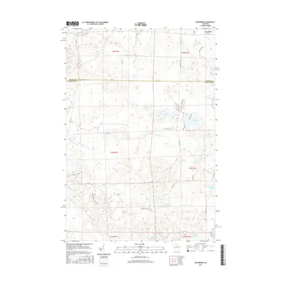
(15)- 2010 Map of Enterprise, 2010 Print
 2010 Enterprise2010 Print · USGSCovers Elcho, including Enterprise, Parrish, and other nearby areas
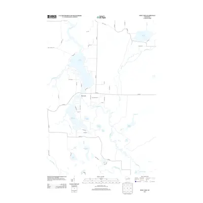
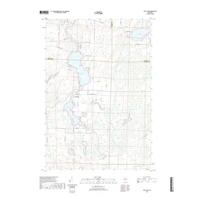
 - 2010 Map of Post Lake, 2010 Print
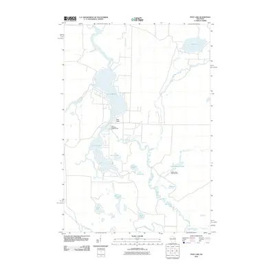 2010 Post Lake2010 Print · USGSCovers Elcho, including Nashville, Ainsworth, and other nearby areas
 - 2010 Map of Elcho, 2010 Print
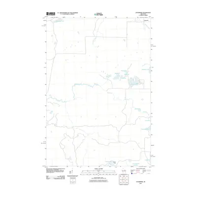
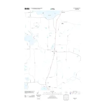
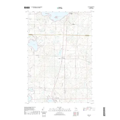
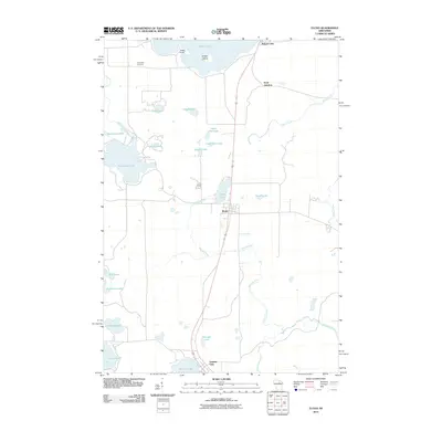 2010 Elcho2010 Print · USGSCovers Elcho, including Enterprise, Pratt Junction, and other nearby areas
 - 2013 Map of Post Lake, 2013 Print
 2013 Post Lake2013 Print · USGSCovers Elcho, including Nashville, Ainsworth, and other nearby areas
 - 2013 Map of Elcho, 2013 Print
 2013 Elcho2013 Print · USGSCovers Elcho, including Enterprise, Pratt Junction, and other nearby areas
 - 2013 Map of Enterprise, 2013 Print
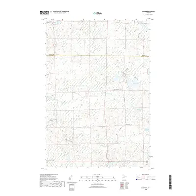
 2013 Enterprise2013 Print · USGSCovers Elcho, including Enterprise, Parrish, and other nearby areas
 - 2015 Map of Elcho, 2015 Print
 2015 Elcho2015 Print · USGSCovers Elcho, including Enterprise, Pratt Junction, and other nearby areas
 - 2015 Map of Post Lake, 2015 Print
 2015 Post Lake2015 Print · USGSCovers Elcho, including Nashville, Ainsworth, and other nearby areas
 - 2015 Map of Enterprise, 2015 Print
 2015 Enterprise2015 Print · USGSCovers Elcho, including Enterprise, Parrish, and other nearby areas
 - 2018 Map of Post Lake, 2018 Print
 2018 Post Lake2018 Print · USGSCovers Elcho, including Nashville, Ainsworth, and other nearby areas
 - 2018 Map of Elcho, 2018 Print
 2018 Elcho2018 Print · USGSCovers Elcho, including Enterprise, Pratt Junction, and other nearby areas
 - 2018 Map of Enterprise, 2018 Print
 2018 Enterprise2018 Print · USGSCovers Elcho, including Enterprise, Parrish, and other nearby areas
 - 2022 Map of Elcho, 2022 Print
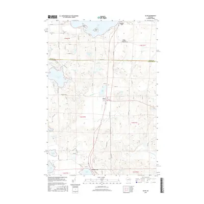
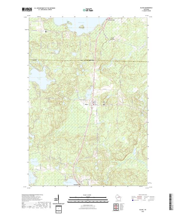 2022 Elcho2022 Print · USGSThe Wisconsin Northwoods around the Oneida and Langlade county line are shown here as they appear in the early 2020s. Genealogists and researchers can trace local landmarks like the Elcho Community Cem, the settlement of Pratt Junction, and the winding course of the Hunting River.
 - 2022 Map of Enterprise, 2022 Print
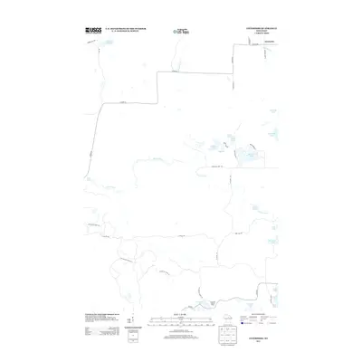
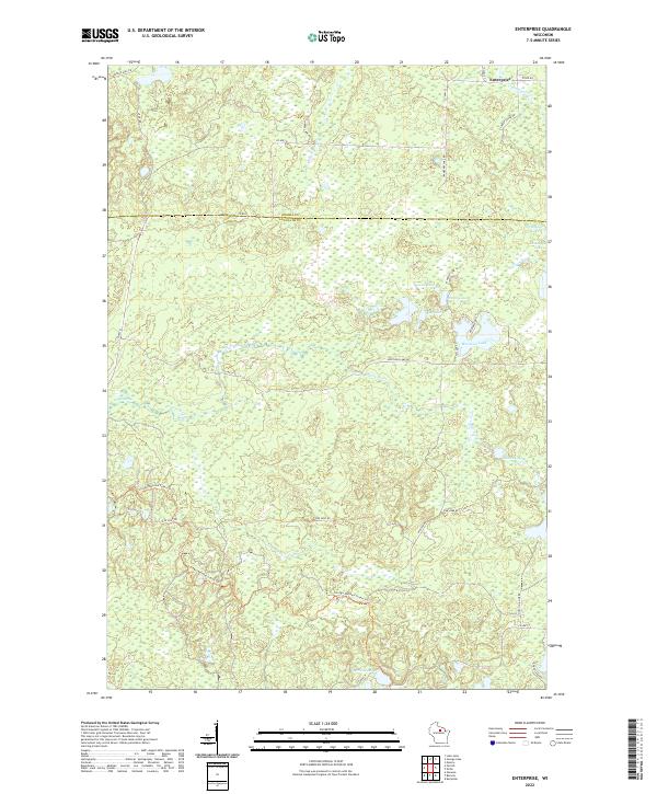 2022 Enterprise2022 Print · USGSWisconsin's northwoods are captured in the early 21st century at the border of Oneida and Langlade counties. Trace the winding Ice Age National Scenic Trl or explore the many shorelines of Moccasin Lake, Enterprise Cr, and Bog Lake.
 - 2023 Map of Post Lake, 2023 Print
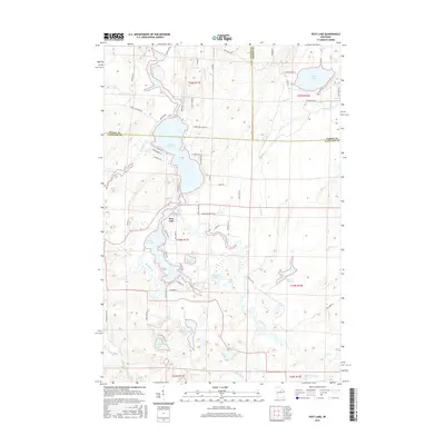
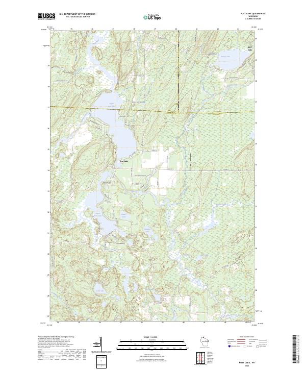 2023 Post Lake2023 Print · USGSThe Post Lake area in the early twenty-first century remains a quintessential Northwoods landscape defined by the Wolf River and its expansive lakes. Local historians and property researchers can trace shoreline developments along Upper Post Lake and Lower Post Lake.
End of results
Showing maps 1-15 of 15
Top cities near Elcho
- Rhinelander historical maps
- Nashville historical maps
- Polar historical maps
- Neva historical maps
- Stella historical maps
- Hiles historical maps
See more
Top neighborhoods of Elcho
Frequently asked questions
- What are the different types of historical maps available for Elcho?
- What is the oldest map of Elcho?
- Where can I purchase historical maps of Elcho for my home or office?
- Where can I download high-res historical maps of Elcho?
- Are there historical topographic maps available for Elcho?
- Is there historical aerial imagery available for Elcho?
- Where are historical maps of Elcho sourced from?