Old Maps of Post Lake, Wisconsin for Metal Detecting
Plan your next treasure hunt with 11 historic maps of Post Lake. Find old homesites, ghost towns, trails, and gathering spots that may be lost to time — perfect for identifying promising metal detecting locations.
- Locate forgotten sites: Uncover places like long-lost settlements, abandoned rail lines, or gathering spots.
- Plan better hunts: Use map overlays combined with LiDAR or satellite views to narrow in on historically rich areas.
- Made for detectorists: Thousands of hobbyists use these maps to discover relics, coins, and hidden history.
Use these historic maps to boost your research and find new opportunities beneath the surface of Post Lake.
Post Lake, WI maps
(11)- 1942 Map of Elcho
 1942 Elcho1942 Print · USGSUpper Wisconsin’s lake country appears here in the early 1940s, showing a landscape of scattered rural schools and forest townships. Genealogists and researchers can trace local roots at the Enterprise Cem, St Johns Ch, or find family landmarks near Pelican Lake.
 - 1950 Map of Elcho, 1952 Print
 1950 Elcho1952 Print · USGSLanglade and Oneida Counties come into focus during the early fifties, a time when the Chicago and North Western railway still connected these timber-rich lakeside communities. You can trace early township schools like Enterprise Sch, find the Pence Lake Lookout Tower, and locate vanished landmarks along the Old Railroad Grade.3 unique versions available
 - 1954 Map of Iron Mountain, 1964 Print
 1954 Iron Mountain1964 Print · USGSUpper Michigan and Northeastern Wisconsin are shown in detail during the mid-fifties, when the logging and mining economies still moved by rail. Trace the rail lines of the Soo Line to remote stops like Koepenick Station or explore the Iron Range near Iron Mountain.2 unique versions available
 - 1959 Map of Iron Mountain
 1959 Iron Mountain1959 Print · USGSThe northwoods of Wisconsin and the Michigan border are captured here in the mid-fifties, showing a landscape defined by timber, water, and rail. Researchers can trace historic junctions like Hiles Junction, the expansive Nicolet National Forest, and lakefront settlements from Rhinelander to Tomahawk.2 unique versions available
 - 1973 Map of Post Lake, 1977 Print
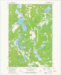 1973 Post Lake1977 Print · USGSThe Wolf River corridor in the early 1970s reveals a landscape of interconnected lakes and protected fishery lands. Researchers can trace lakeside developments near Post Lake and locate specific features like Knoke Spring, Spider Creek Flowage, and the Wolf River State Fishery Area.2 unique versions available
 - 1990 Map of Merrill, 1991 Print
 1990 Merrill1991 Print · USGSWisconsin's Northwoods transition from timber industry to recreation in the 1990s, centered on the river corridors of Lincoln and Langlade counties. Genealogists and historians can trace rail history along the Soo Line and Old RR Grade between Merrill and Antigo.
 - 2010 Map of Post Lake, 2010 Print
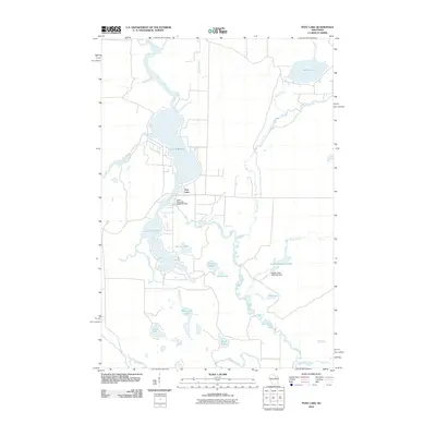 2010 Post Lake2010 Print · USGSUpper Wisconsin lake country is meticulously documented here during the early twenty-first century, centered on the Wolf River and its varied impoundments. Trace local water history through the Upper Post Lake 1866C352 Dam and smaller basins like Aninnan Lake and Bishop Lake.
 - 2013 Map of Post Lake, 2013 Print
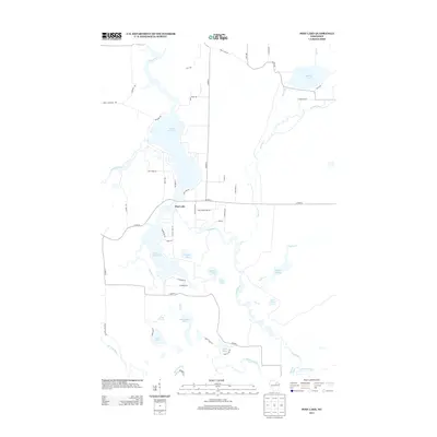 2013 Post Lake2013 Print · USGSUpper Wisconsin lake country is defined by the winding Wolf River and the settlement of Post Lake in this early twenty-first-century survey. Researchers can trace local landmarks and shorelines near Lower Post Lake, Spider Cr Flowage, and Miniwakan Lake.
 - 2015 Map of Post Lake, 2015 Print
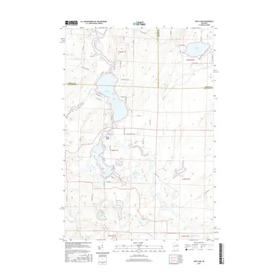 2015 Post Lake2015 Print · USGSThe Wolf River corridor in the mid-2010s shows a landscape of interconnected glacial lakes at the borders of Oneida and Langlade counties. Local historians can trace lakeside developments near Post Lake and find remote features like Knoke Spring or Aninnan Lake.
 - 2018 Map of Post Lake, 2018 Print
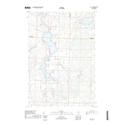 2018 Post Lake2018 Print · USGSThe northern Wisconsin lakelands and the Wolf River corridor appear here in high detail during the late twenty-teens. Researchers can trace shoreline property lines along Upper Post Lake or locate inland features like Knoke Spring and Aninnan Lake.
 - 2023 Map of Post Lake, 2023 Print
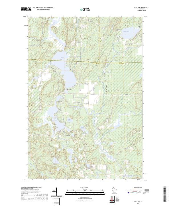 2023 Post Lake2023 Print · USGSThe Post Lake area in the early twenty-first century remains a quintessential Northwoods landscape defined by the Wolf River and its expansive lakes. Local historians and property researchers can trace shoreline developments along Upper Post Lake and Lower Post Lake.
End of results
Showing maps 1-11 of 11
Top cities near Post Lake
- Crandon historical maps
- Elcho historical maps
- Nashville historical maps
- Neva historical maps
- Stella historical maps
- Argonne historical maps
See more
Frequently asked questions
- What are the different types of historical maps available for Post Lake?
- What is the oldest map of Post Lake?
- Where can I purchase historical maps of Post Lake for my home or office?
- Where can I download high-res historical maps of Post Lake?
- Are there historical topographic maps available for Post Lake?
- Is there historical aerial imagery available for Post Lake?
- Where are historical maps of Post Lake sourced from?