2000s (21st Century) Maps of Neva, Wisconsin
Explore 20 historic maps of Neva from the 2000s (21st Century). These maps offer a rare glimpse into what life looked like during the 2000s — showing old roads, neighborhoods, homes, and landmarks that have changed or disappeared over time.
Whether you're researching your family's past, planning a metal detecting trip, or studying how Neva's landscape evolved across the 2000s, these high-resolution maps are a powerful tool for exploring the history of this region.
- Focus on a specific era: All maps on this page are from the 2000s, giving you a focused view of this time period.
- See what’s changed: Compare century-old streets, trails, and buildings to today's modern landscape using overlays and satellite layers.
- Research with precision: Use these maps for genealogy, historical research, land use analysis, or educational projects.
- View, download, or print: Maps are fully viewable online in high resolution, and can be downloaded or printed for your own records.
Start exploring Neva's history through authentic maps from the 2000s. This is your window into the past.
Neva, WI maps
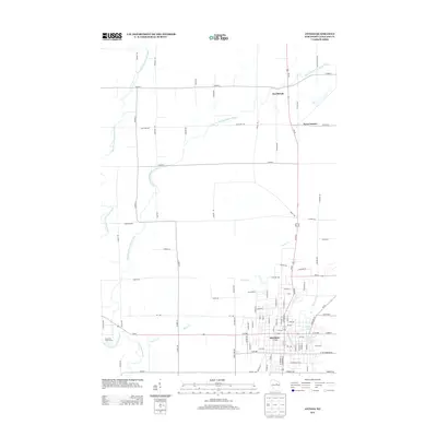
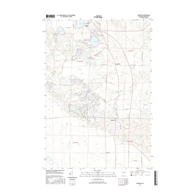
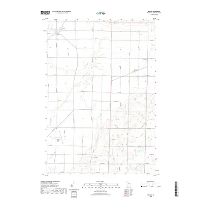
(20)- 2010 Map of Bryant, 2010 Print
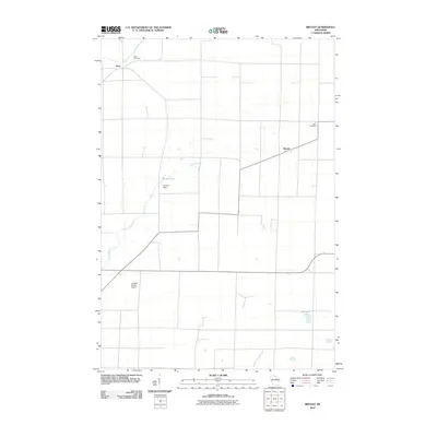 2010 Bryant2010 Print · USGSCovers Neva, including Polar, Price, and other nearby areas
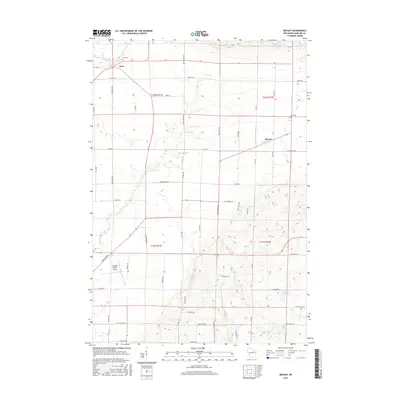
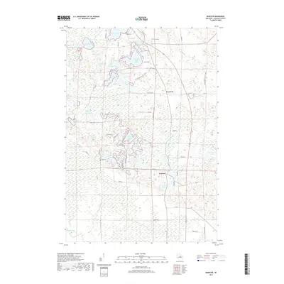
 - 2010 Map of Kempster, 2010 Print
 2010 Kempster2010 Print · USGSCovers Neva, including Kempster, Peck, and other nearby areas
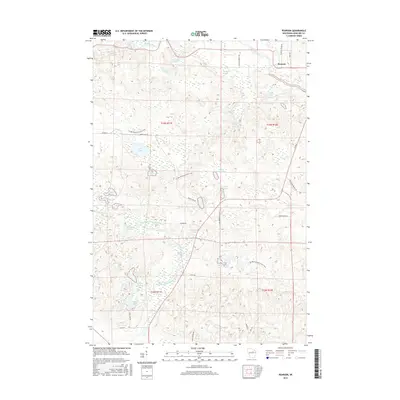
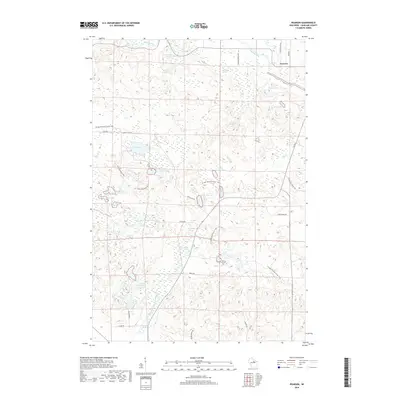
 - 2010 Map of Pearson, 2010 Print
 2010 Pearson2010 Print · USGSCovers Neva, including Price, Ainsworth, and other nearby areas
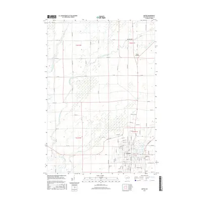
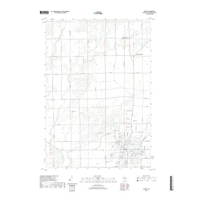
 - 2010 Map of Antigo, 2010 Print
 2010 Antigo2010 Print · USGSCovers Neva, including Antigo, Peck, and other nearby areas
 - 2013 Map of Antigo, 2013 Print
 2013 Antigo2013 Print · USGSCovers Neva, including Antigo, Peck, and other nearby areas
 - 2013 Map of Bryant, 2013 Print
 2013 Bryant2013 Print · USGSCovers Neva, including Polar, Price, and other nearby areas
 - 2013 Map of Kempster, 2013 Print
 2013 Kempster2013 Print · USGSCovers Neva, including Kempster, Peck, and other nearby areas
 - 2013 Map of Pearson, 2013 Print
 2013 Pearson2013 Print · USGSCovers Neva, including Price, Ainsworth, and other nearby areas
 - 2015 Map of Kempster, 2015 Print
 2015 Kempster2015 Print · USGSCovers Neva, including Kempster, Peck, and other nearby areas
 - 2015 Map of Antigo, 2015 Print
 2015 Antigo2015 Print · USGSCovers Neva, including Antigo, Peck, and other nearby areas
 - 2015 Map of Bryant, 2015 Print
 2015 Bryant2015 Print · USGSCovers Neva, including Polar, Price, and other nearby areas
 - 2015 Map of Pearson, 2015 Print
 2015 Pearson2015 Print · USGSCovers Neva, including Price, Ainsworth, and other nearby areas
 - 2018 Map of Antigo, 2018 Print
 2018 Antigo2018 Print · USGSCovers Neva, including Antigo, Peck, and other nearby areas
 - 2018 Map of Bryant, 2018 Print
 2018 Bryant2018 Print · USGSCovers Neva, including Polar, Price, and other nearby areas
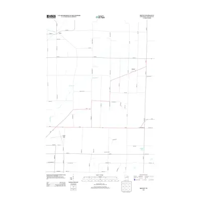
 - 2018 Map of Kempster, 2018 Print
 2018 Kempster2018 Print · USGSCovers Neva, including Kempster, Peck, and other nearby areas
 - 2018 Map of Pearson, 2018 Print
 2018 Pearson2018 Print · USGSCovers Neva, including Price, Ainsworth, and other nearby areas
 - 2022 Map of Antigo, 2022 Print
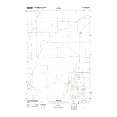
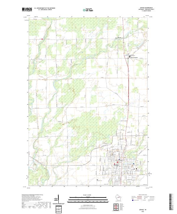 2022 Antigo2022 Print · USGSAntigo and the surrounding Langlade County countryside are shown here in the early twenty-first century, anchored by the river forks and a grid of rural homesteads. Genealogists can locate family sites across five different cemeteries, including Saint Wencel's Catholic Cem and Bohemian National Cem.
 - 2022 Map of Bryant, 2022 Print
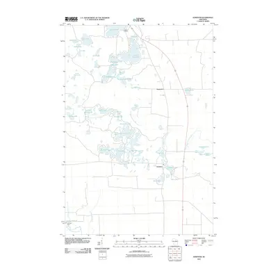
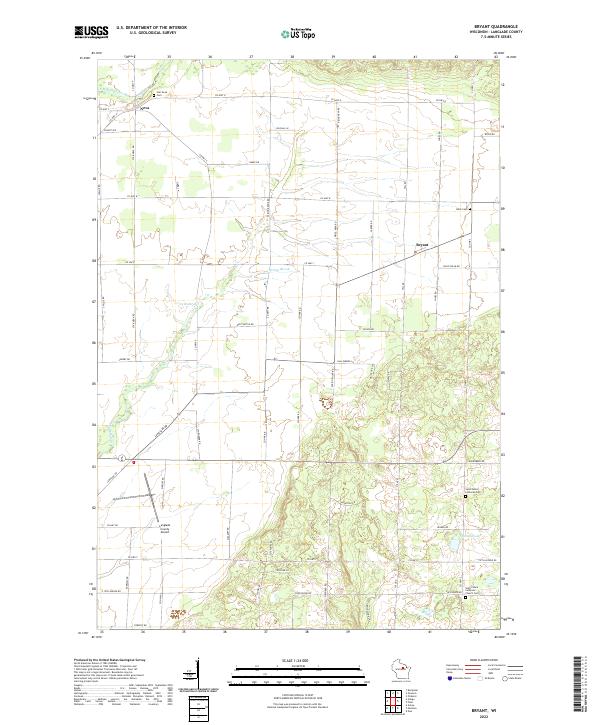 2022 Bryant2022 Print · USGSLanglade County's rural character is preserved in this recent survey of the Bryant area, where family farms meet glacial lakes. Genealogists can trace local history through Star Neva Cem, Bent Cem, and the community surrounding Schmuhl Lake.
 - 2022 Map of Pearson, 2022 Print
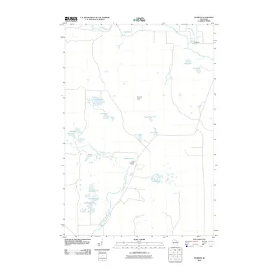
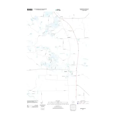
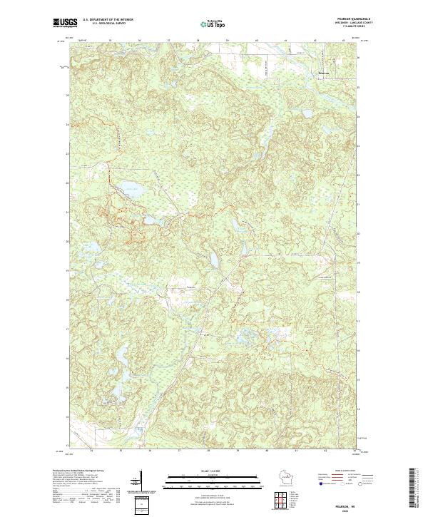 2022 Pearson2022 Print · USGSThis part of Langlade County near the northern reaches of the Wolf River is documented here in the early twenty-first century. Outdoor enthusiasts and local historians can trace the Ice Age National Scenic Trl past Jack Lake and Pence Lake.
 - 2023 Map of Kempster, 2023 Print
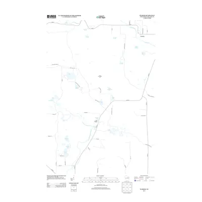
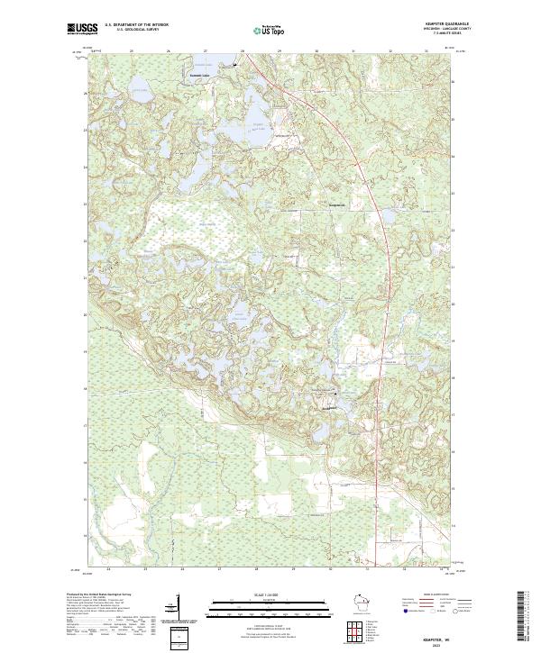 2023 Kempster2023 Print · USGSLanglade County’s lake country is captured here in the early twenty-first century, showcasing a landscape shaped by glacial activity. Genealogists and hikers can trace the paths of the Ice Age National Scenic Trl and find family sites at Lakeside Cem and Kempster Lakeside Cem.
End of results
Showing maps 1-20 of 20
Top cities near Neva
- Antigo historical maps
- Elcho historical maps
- Nashville historical maps
- Polar historical maps
- Langlade historical maps
- Enterprise historical maps
See more
Top neighborhoods of Neva
Frequently asked questions
- What are the different types of historical maps available for Neva?
- What is the oldest map of Neva?
- Where can I purchase historical maps of Neva for my home or office?
- Where can I download high-res historical maps of Neva?
- Are there historical topographic maps available for Neva?
- Is there historical aerial imagery available for Neva?
- Where are historical maps of Neva sourced from?