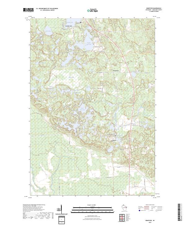
2023 Map of Kempster
USGS Topo · Published 2023About this map
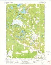
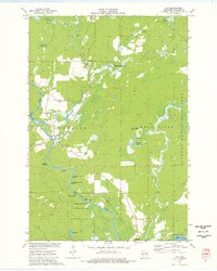
Summit Lake serves as the northern anchor of this glacial landscape in Langlade County, where dense clusters of kettle lakes define the local geography. The settlement patterns follow the corridor of Co Hwy T, connecting the communities of Koepenick and Kempster. This area is characterized by an intricate network of water bodies, ranging from the sizeable Greater Bass Lake and Lower Clear Lake to smaller, more uniquely named features like Shanty Bottom Lake and Shoestring Lake.
Find a feature on this map
78 named features on this map. Tap any name to fly to it.
Don’t see what you’re looking for? This feature index may not catch every label — zoom into the map to look around manually.
Map Details
Editions of this 2023 Kempster Map
This is the sole edition of this map. No revisions or reprints were ever made.
Historical Maps of Neva Through Time
27 maps found

1940 Parrish
Langlade County, WI

1942 Pearson
Langlade County, WI
1950 Lily
Langlade County, WI
1950 Parrish
Langlade County, WI

1952 Parrish
Langlade County, WI
1972 Reservoir Pond
Langlade County, WI
1973 Bavaria
Langlade County, WI
1973 Black Brook
Langlade County, WI

1973 Bryant
Langlade County, WI

1973 Enterprise
Langlade County, WI
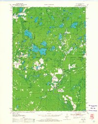
1973 Kempster
Langlade County, WI
1973 Langlade
Langlade County, WI
1973 Lily
Langlade County, WI
1973 Pearson
Langlade County, WI
1973 Pickerel
Langlade County, WI
1973 Polar
Langlade County, WI
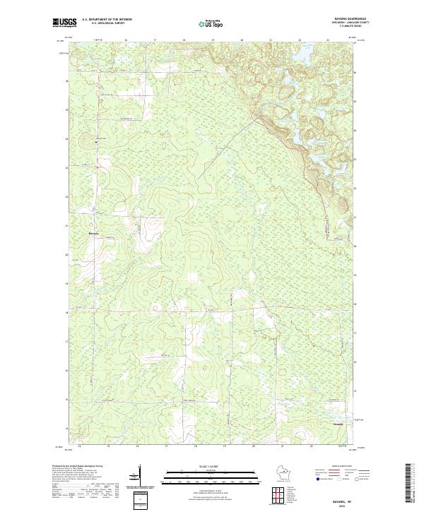
2022 Bavaria
Langlade County, WI
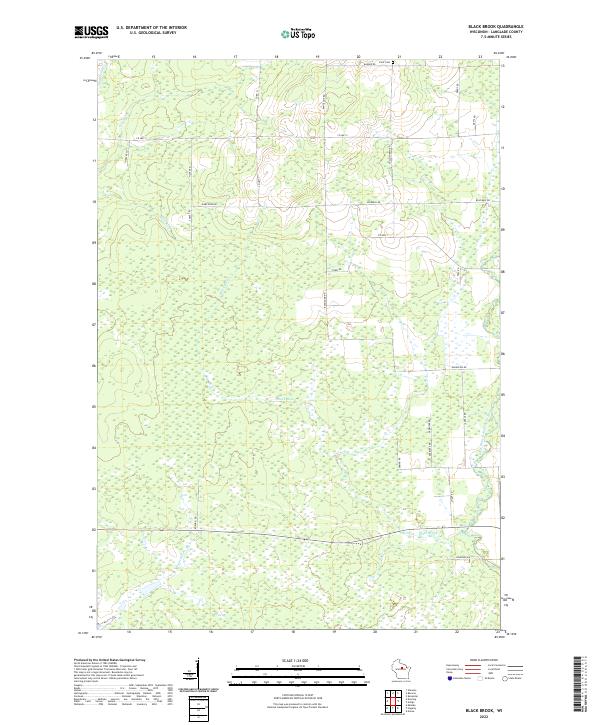
2022 Black Brook
Langlade County, WI
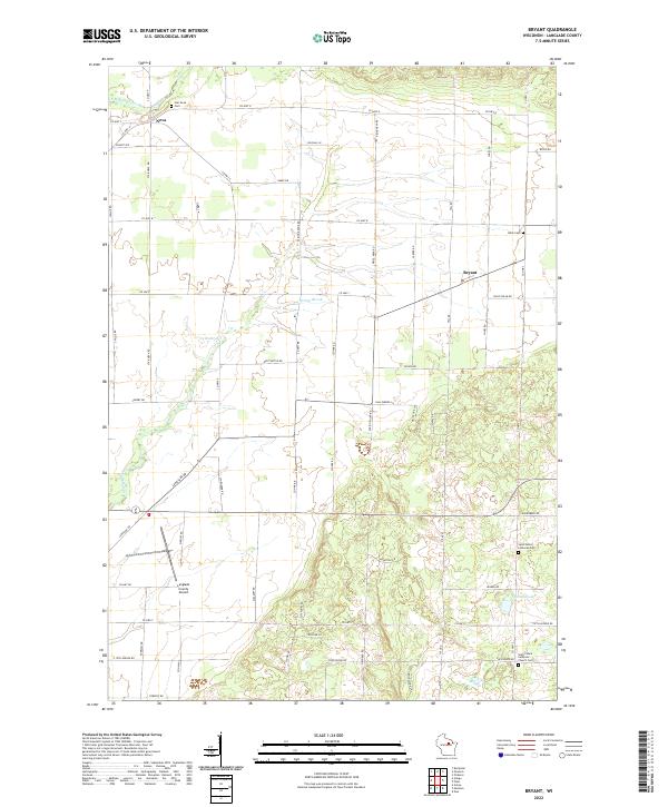
2022 Bryant
Langlade County, WI
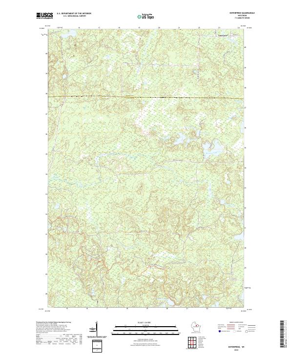
2022 Enterprise
Langlade County, WI
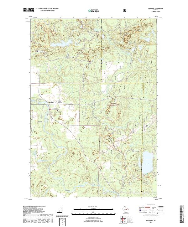
2022 Langlade
Langlade County, WI
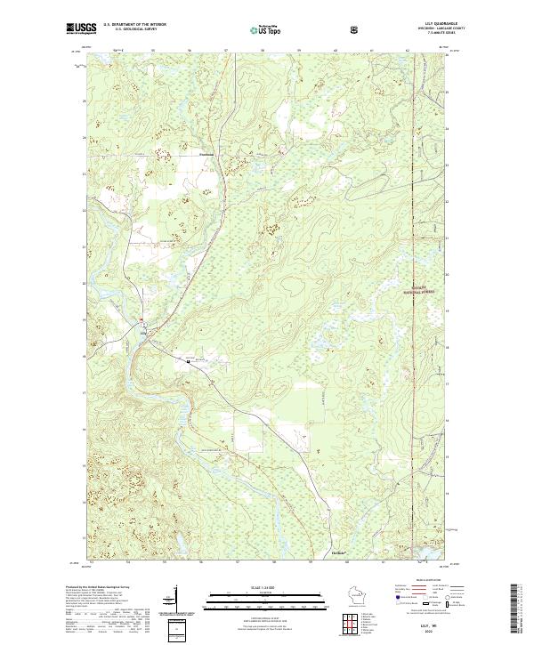
2022 Lily
Langlade County, WI
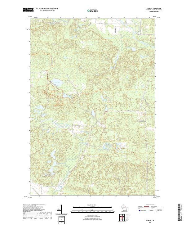
2022 Pearson
Langlade County, WI
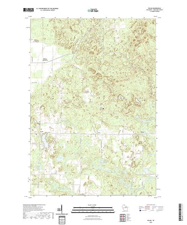
2022 Polar
Langlade County, WI
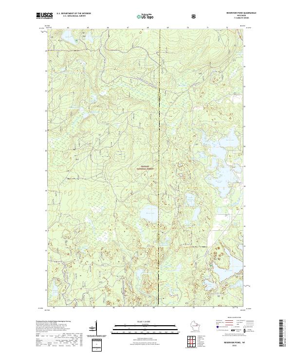
2022 Reservoir Pond
Langlade County, WI
2023 Kempster
Langlade County, WI
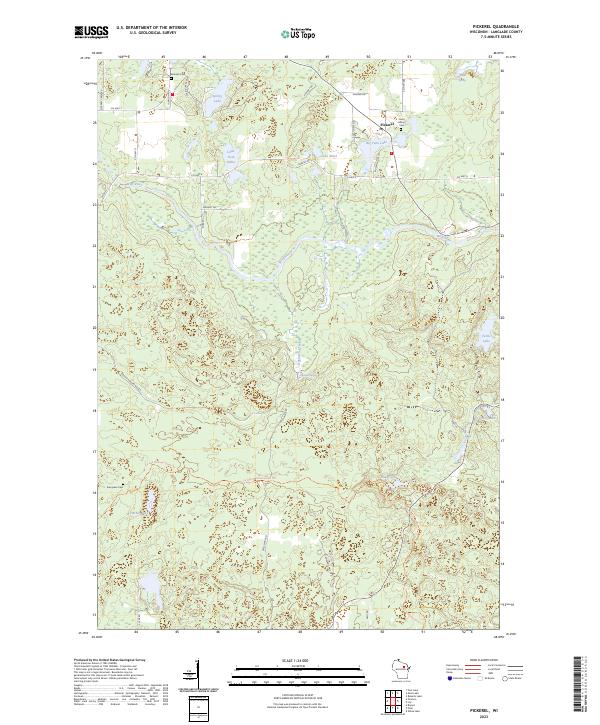
2023 Pickerel
Langlade County, WI