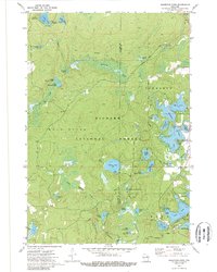
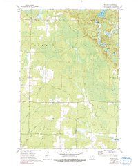
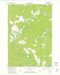
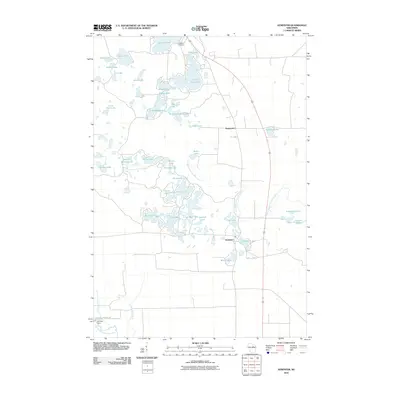
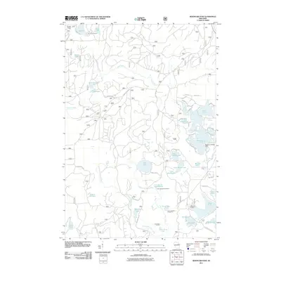
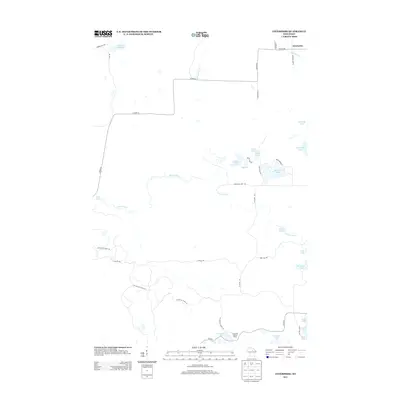
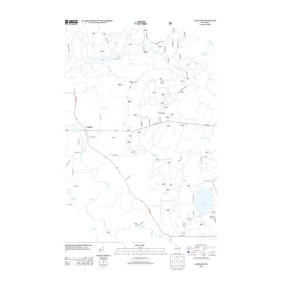
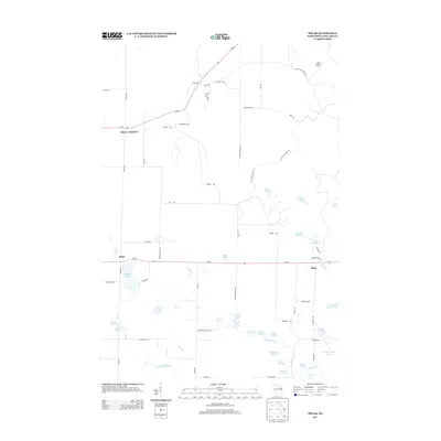
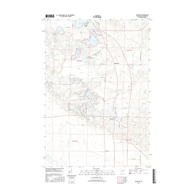
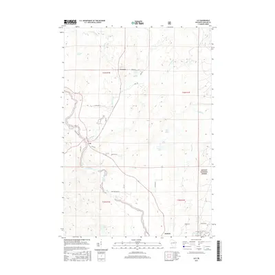
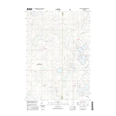
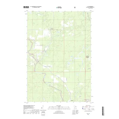
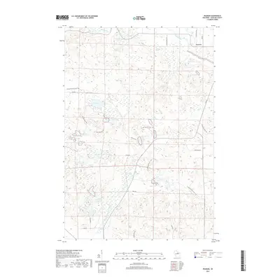
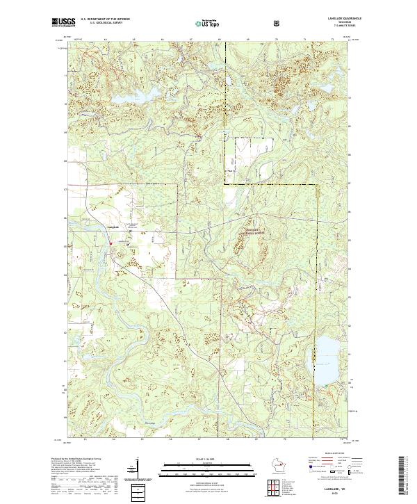
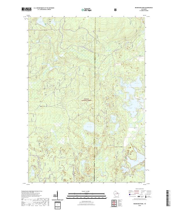
1972 Map of Reservoir Pond
USGS Topo · Published 1989About this map
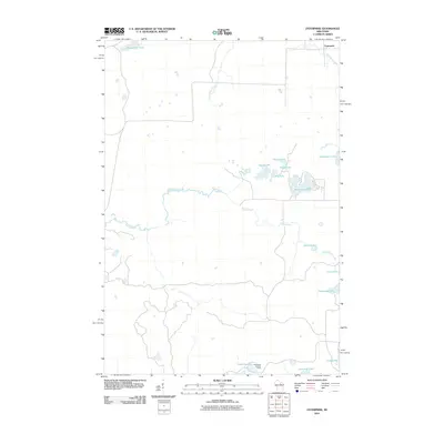
The Nicolet National Forest dominates this northern Wisconsin landscape, characterized by an intricate network of kettle lakes and glacial water bodies during the early 1970s. The central feature, Reservoir Pond, is flanked by Explosion Lake, Horn Lake, and Lauder Lake, illustrating the complex hydrology of the Townsend and Wolf River borderlands. This region is a study in recreational and resource land use, where the Old Railroad Grade and Snowmobile Trail signal the transition from industrial timber extraction to seasonal tourism.
Find a feature on this map
47 named features on this map. Tap any name to fly to it.
Don’t see what you’re looking for? This feature index may not catch every label — zoom into the map to look around manually.
Map Details
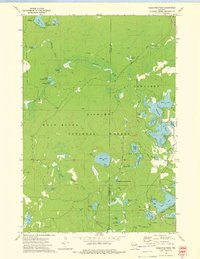
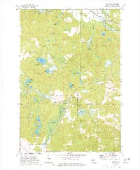
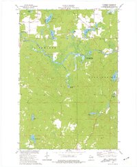
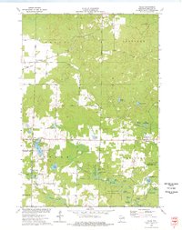
Editions of this 1972 Reservoir Pond Map
2 editions found
Historical Maps of Townsend Through Time
71 maps found

1940 Parrish
Langlade County, WI

1942 Pearson
Langlade County, WI
1950 Lily
Langlade County, WI
1950 Parrish
Langlade County, WI

1952 Parrish
Langlade County, WI
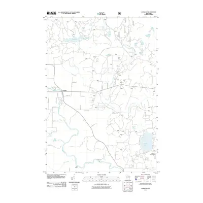
1972 Reservoir Pond
Langlade County, WI
1973 Bavaria
Langlade County, WI
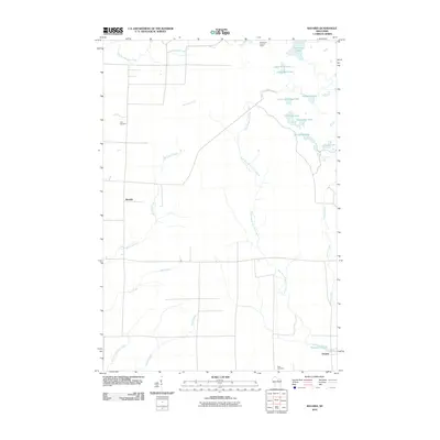
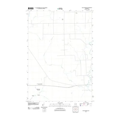
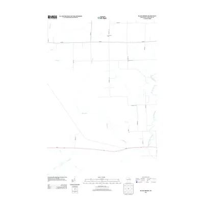
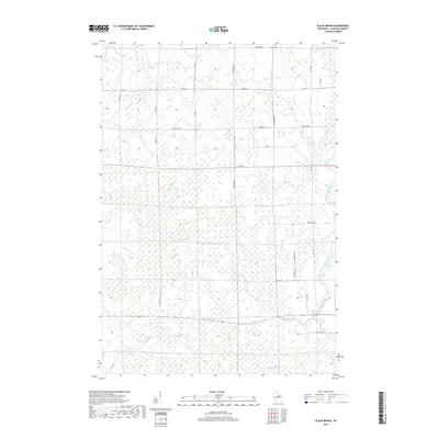
1973 Black Brook
Langlade County, WI

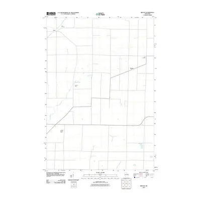
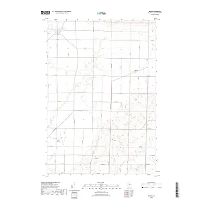
1973 Bryant
Langlade County, WI

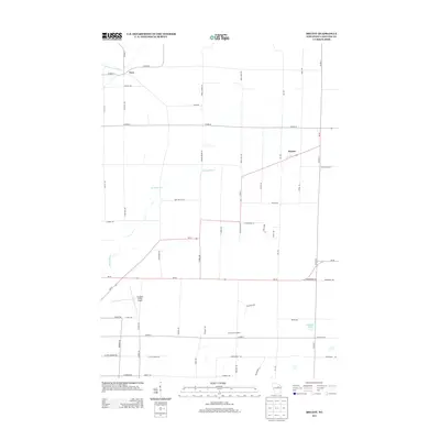
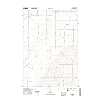
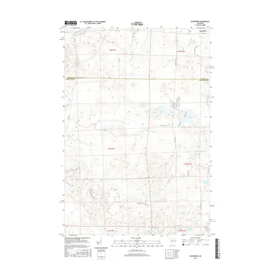
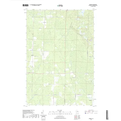
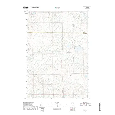
1973 Enterprise
Langlade County, WI
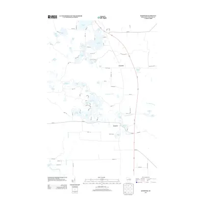
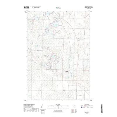
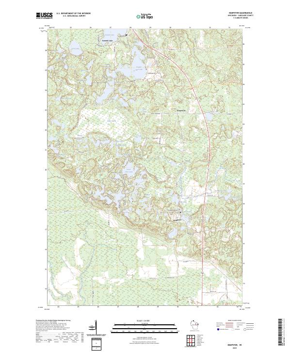
1973 Kempster
Langlade County, WI
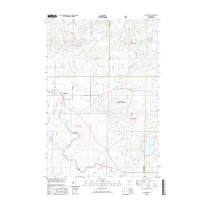
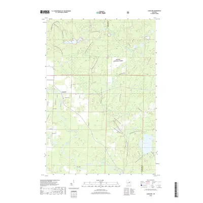
1973 Langlade
Langlade County, WI
1973 Lily
Langlade County, WI
1973 Pearson
Langlade County, WI
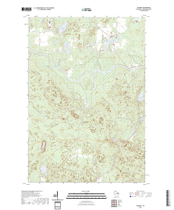
1973 Pickerel
Langlade County, WI
1973 Polar
Langlade County, WI
2010 Bavaria
Langlade County, WI
2010 Black Brook
Langlade County, WI
2010 Bryant
Langlade County, WI
2010 Enterprise
Langlade County, WI
2010 Kempster
Langlade County, WI
2010 Pearson
Langlade County, WI
2010 Pickerel
Langlade County, WI
2010 Polar
Langlade County, WI
2011 Langlade
Langlade County, WI
2011 Lily
Langlade County, WI
2011 Reservoir Pond
Langlade County, WI
2013 Bavaria
Langlade County, WI
2013 Black Brook
Langlade County, WI
2013 Bryant
Langlade County, WI
2013 Enterprise
Langlade County, WI
2013 Kempster
Langlade County, WI
2013 Langlade
Langlade County, WI
2013 Lily
Langlade County, WI
2013 Pearson
Langlade County, WI
2013 Pickerel
Langlade County, WI
2013 Polar
Langlade County, WI
2013 Reservoir Pond
Langlade County, WI
2015 Bavaria
Langlade County, WI
2015 Black Brook
Langlade County, WI
2015 Bryant
Langlade County, WI
2015 Enterprise
Langlade County, WI
2015 Kempster
Langlade County, WI
2015 Langlade
Langlade County, WI
2015 Lily
Langlade County, WI
2015 Pearson
Langlade County, WI
2015 Pickerel
Langlade County, WI
2015 Polar
Langlade County, WI
2015 Reservoir Pond
Langlade County, WI
2018 Bavaria
Langlade County, WI
2018 Black Brook
Langlade County, WI
2018 Bryant
Langlade County, WI
2018 Enterprise
Langlade County, WI
2018 Kempster
Langlade County, WI
2018 Langlade
Langlade County, WI
2018 Lily
Langlade County, WI
2018 Pearson
Langlade County, WI
2018 Pickerel
Langlade County, WI
2018 Polar
Langlade County, WI
2018 Reservoir Pond
Langlade County, WI
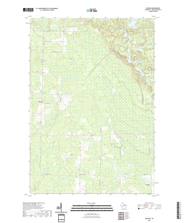
2022 Bavaria
Langlade County, WI
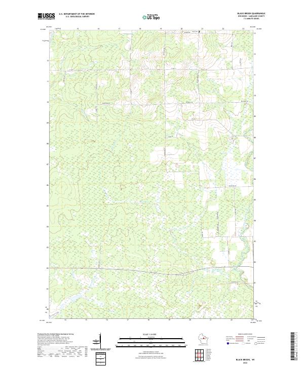
2022 Black Brook
Langlade County, WI
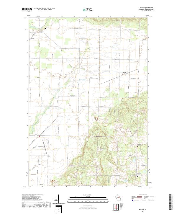
2022 Bryant
Langlade County, WI
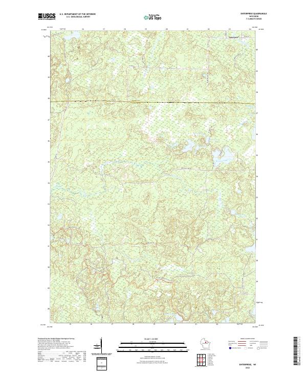
2022 Enterprise
Langlade County, WI
2022 Langlade
Langlade County, WI
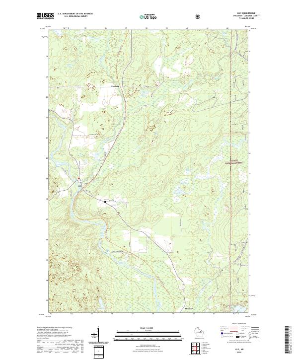
2022 Lily
Langlade County, WI
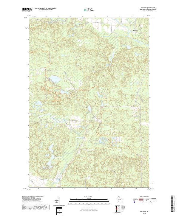
2022 Pearson
Langlade County, WI
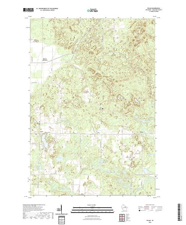
2022 Polar
Langlade County, WI
2022 Reservoir Pond
Langlade County, WI
2023 Kempster
Langlade County, WI
2023 Pickerel
Langlade County, WI