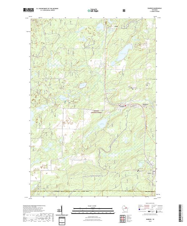
1972 Map of Wabeno
USGS Topo · Published 1975About this map
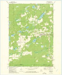
Wabeno and neighboring Soperton serve as the primary population centers on this early 1970s survey, situated along the Chicago and North Western railroad line. The landscape is dominated by the dense woodlands of the Nicolet National Forest, dotted with numerous glacial water bodies like Trump Lake, Richardson Lake, and Ham Lake. In the southern reaches, the small settlement of Carter stands near the boundary of Forest and Oconto Counties, while the western edge reveals the rural crossroads of Freedom Corners.
Find a feature on this map
57 named features on this map. Tap any name to fly to it.
Don’t see what you’re looking for? This feature index may not catch every label — zoom into the map to look around manually.
Map Details
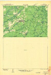
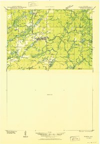
Editions of this 1972 Wabeno Map
This is the sole edition of this map. No revisions or reprints were ever made.
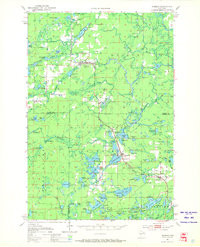
Historical Maps of Laona Through Time
6 maps found