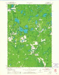
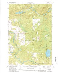
1950 Map of Lily
USGS Topo · Published 1968About this map
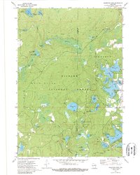
Mole Lake and the southeastern reaches of the Nicolet National Forest anchor this mid-century survey of the Wisconsin Northwoods. The landscape is a dense network of glacial water bodies, from the sprawling Pickerel Lake and Rolling Stone Lake to smaller basins like Deep Hole Lake and Skunk Lake. Settlement is concentrated near Lily and Hollister, where the Wolf River winds through the southern terrain.
Find a feature on this map
95 named features on this map. Tap any name to fly to it.
Don’t see what you’re looking for? This feature index may not catch every label — zoom into the map to look around manually.
Map Details
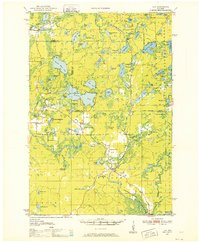
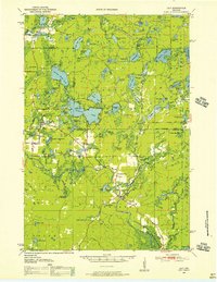
Editions of this 1950 Lily Map
3 editions found
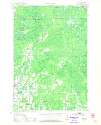
Historical Maps of Laona Through Time
27 maps found

1940 Parrish
Langlade County, WI

1942 Pearson
Langlade County, WI
1950 Lily
Langlade County, WI
1950 Parrish
Langlade County, WI

1952 Parrish
Langlade County, WI
1972 Reservoir Pond
Langlade County, WI
1973 Bavaria
Langlade County, WI
1973 Black Brook
Langlade County, WI

1973 Bryant
Langlade County, WI

1973 Enterprise
Langlade County, WI
1973 Kempster
Langlade County, WI
1973 Langlade
Langlade County, WI
1973 Lily
Langlade County, WI
1973 Pearson
Langlade County, WI
1973 Pickerel
Langlade County, WI
1973 Polar
Langlade County, WI
2022 Bavaria
Langlade County, WI
2022 Black Brook
Langlade County, WI
2022 Bryant
Langlade County, WI
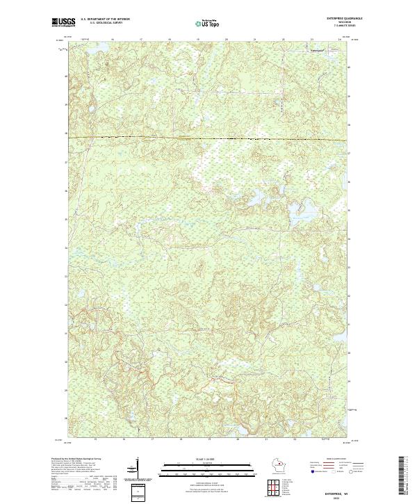
2022 Enterprise
Langlade County, WI
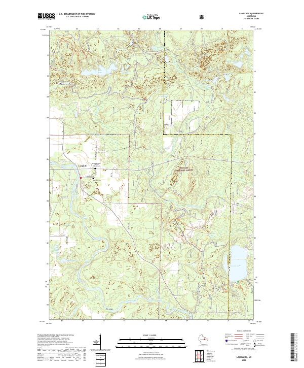
2022 Langlade
Langlade County, WI
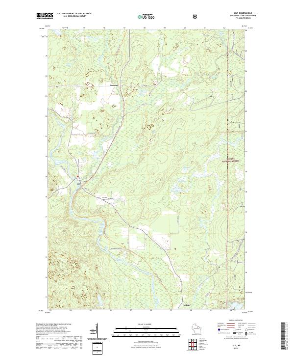
2022 Lily
Langlade County, WI
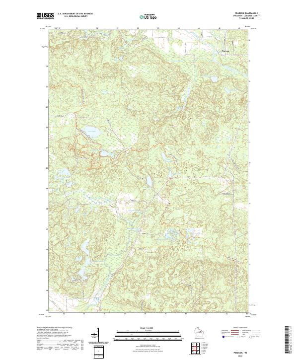
2022 Pearson
Langlade County, WI
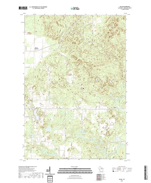
2022 Polar
Langlade County, WI
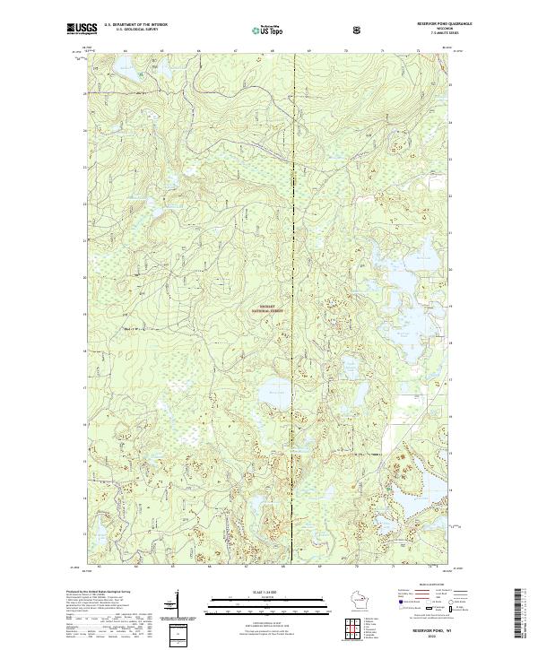
2022 Reservoir Pond
Langlade County, WI
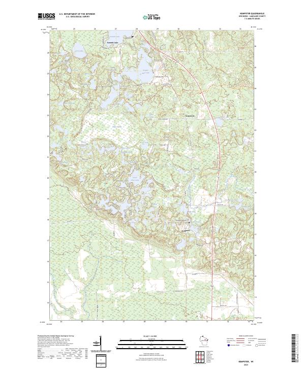
2023 Kempster
Langlade County, WI
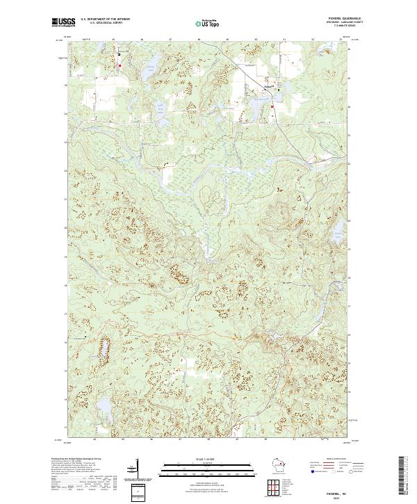
2023 Pickerel
Langlade County, WI