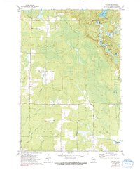
1973 Map of Bavaria
USGS Topo · Published 1991About this map
The Old RR Grade cuts a diagonal path through this corner of Langlade County, serving as a reminder of the region's logging and transport history. Settled areas like Bavaria and Ormsby anchor the landscape, which is defined by an extensive network of water and wetlands. In the northeast, a chain of glacial waters including Upper Wolf Lake, Lower Wolf Lake, and Partridge Lake provides a distinct contrast to the more linear drainage patterns of the Eau Claire River West Branch and Big Hay Meadow Creek to the west. Local genealogy is rooted in sites such as the Town Cem near Bavaria, while the land's utility is visible in the scattered infrastructure of Rangeline Road and the Gravel Pit near the northern boundary. The proximity of the Ormsby Pond near the southern border highlights the industrial and community focus around the settlement of Ormsby.
Find a feature on this map
32 named features on this map. Tap any name to fly to it.
Don’t see what you’re looking for? This feature index may not catch every label — zoom into the map to look around manually.
Map Details
Editions of this 1973 Bavaria Map
2 editions found
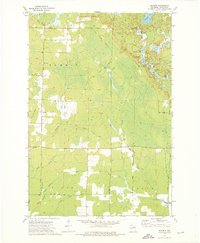
Other maps of this area

1899 · Wausau
USGS Topo · 1:125,000

1902 · Wausau
USGS Topo · 1:125,000

1940 · Parrish
USGS Topo · 1:48,000

1942 · Elcho
USGS Topo · 1:48,000

1950 · Elcho
USGS Topo · 1:48,000

1950 · Parrish
USGS Topo · 1:48,000

1951 · Doering
USGS Topo · 1:48,000

1952 · Parrish
USGS Topo · 1:48,000

1952 · Antigo
USGS Topo · 1:48,000

1954 · Iron Mountain
USGS Topo · 1:250,000