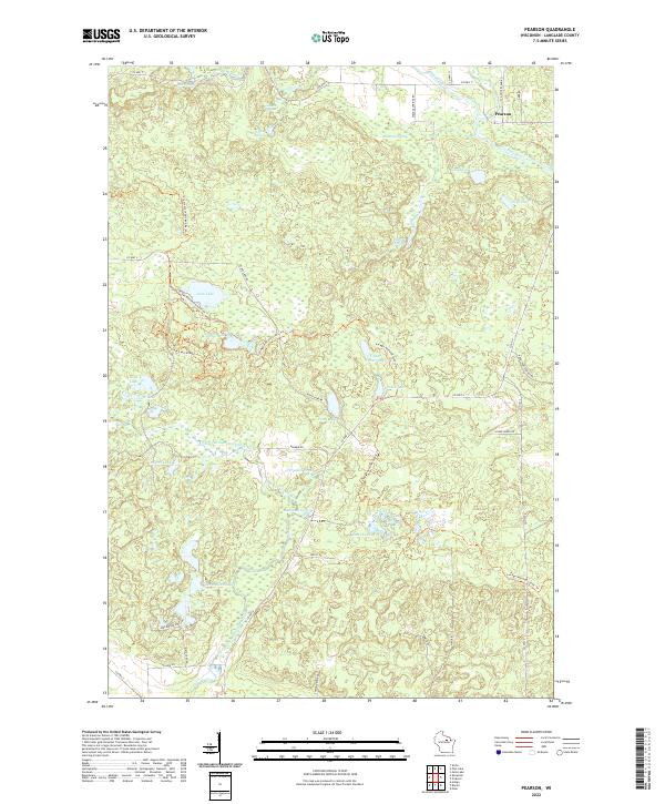
2022 Map of Pearson
USGS Topo · Published 2022About this map
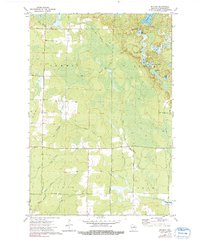
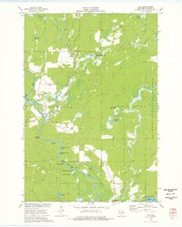
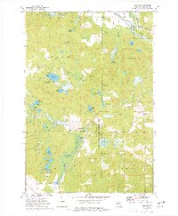
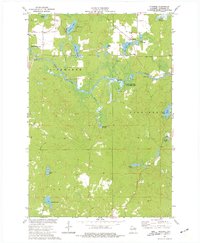
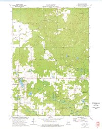
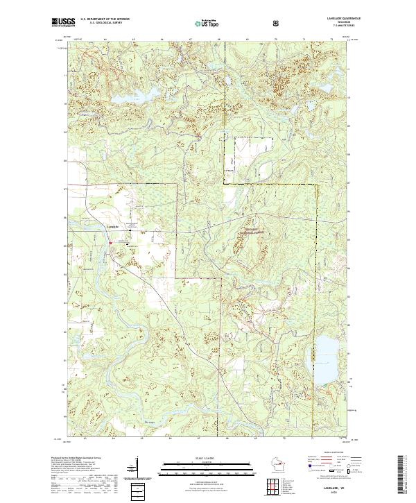
The Hunting River and Wolf River define the hydraulic character of this corner of Langlade County, where numerous spring complexes like Blue Springs and Markgras Springs feed a landscape dense with glacial kettle lakes. The settlement of Pearson sits near the northern boundary, serving as a gateway to a region defined by its recreational and natural corridors. Extensive trail systems, notably the Ice Age National Scenic Trl and the Jack Lake Mtn Trl, wind through the timbered terrain, connecting significant water bodies such as Jack Lake and Gilkey Lake. The drainage patterns of the East Branch Eau Claire River in the south further illustrate the complex watershed of the Northwoods, supporting a network of ponds and springs that have long influenced local land use and outdoor activity.
Find a feature on this map
50 named features on this map. Tap any name to fly to it.
Don’t see what you’re looking for? This feature index may not catch every label — zoom into the map to look around manually.
Map Details
Editions of this 2022 Pearson Map
This is the sole edition of this map. No revisions or reprints were ever made.
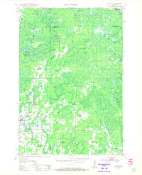
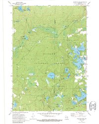
Historical Maps of Neva Through Time
27 maps found

1940 Parrish
Langlade County, WI

1942 Pearson
Langlade County, WI
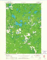
1950 Lily
Langlade County, WI
1950 Parrish
Langlade County, WI

1952 Parrish
Langlade County, WI
1972 Reservoir Pond
Langlade County, WI
1973 Bavaria
Langlade County, WI
1973 Black Brook
Langlade County, WI

1973 Bryant
Langlade County, WI

1973 Enterprise
Langlade County, WI
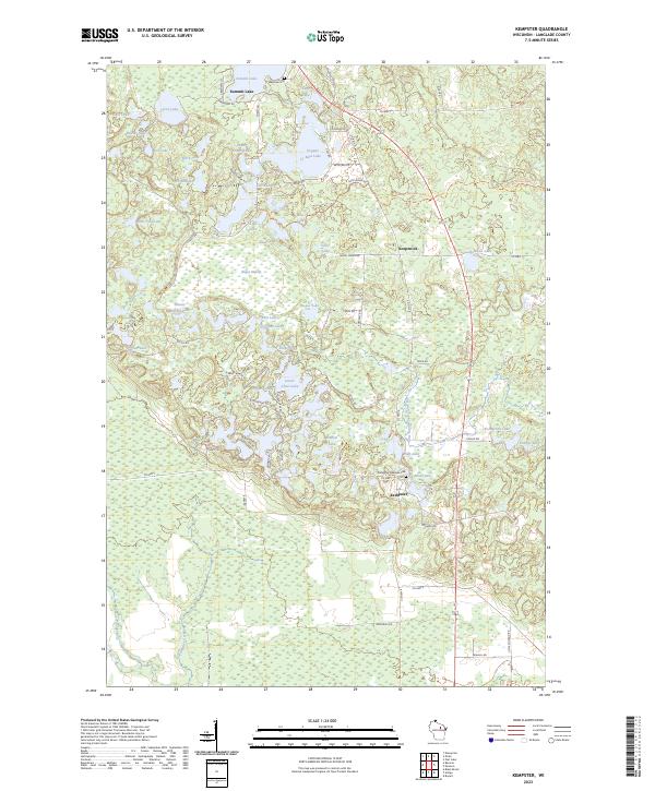
1973 Kempster
Langlade County, WI
1973 Langlade
Langlade County, WI
1973 Lily
Langlade County, WI
1973 Pearson
Langlade County, WI
1973 Pickerel
Langlade County, WI
1973 Polar
Langlade County, WI
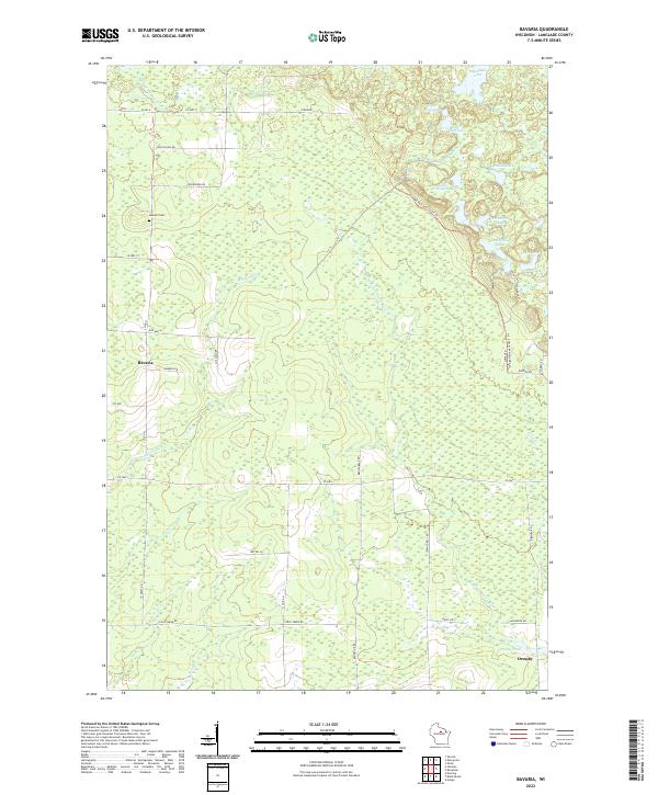
2022 Bavaria
Langlade County, WI
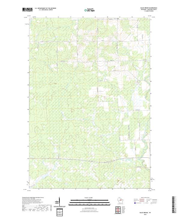
2022 Black Brook
Langlade County, WI
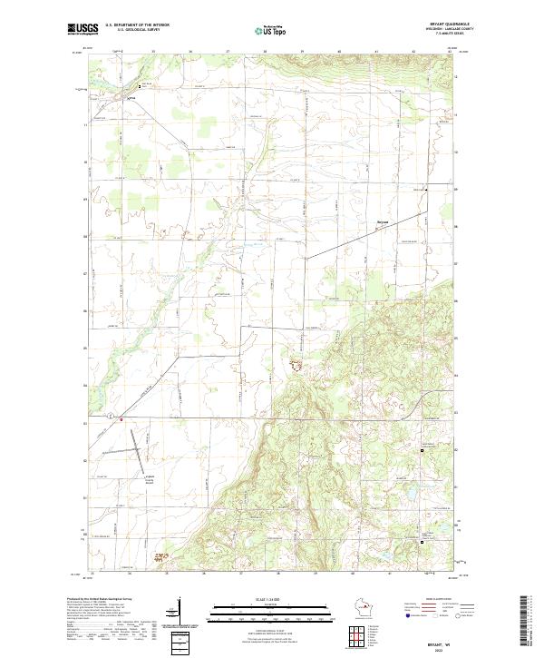
2022 Bryant
Langlade County, WI
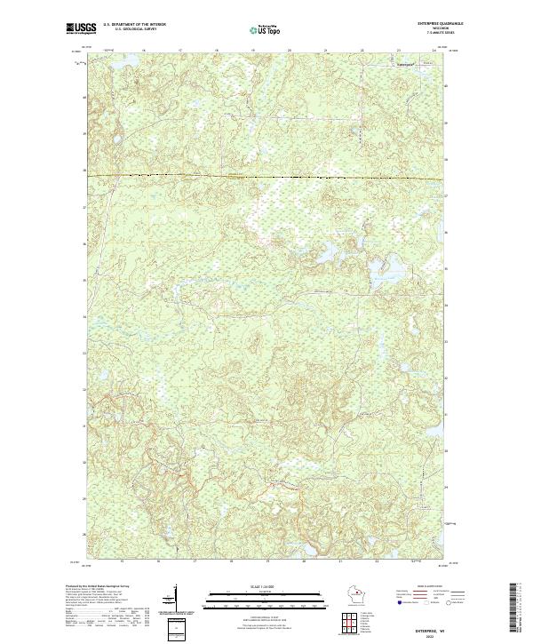
2022 Enterprise
Langlade County, WI
2022 Langlade
Langlade County, WI
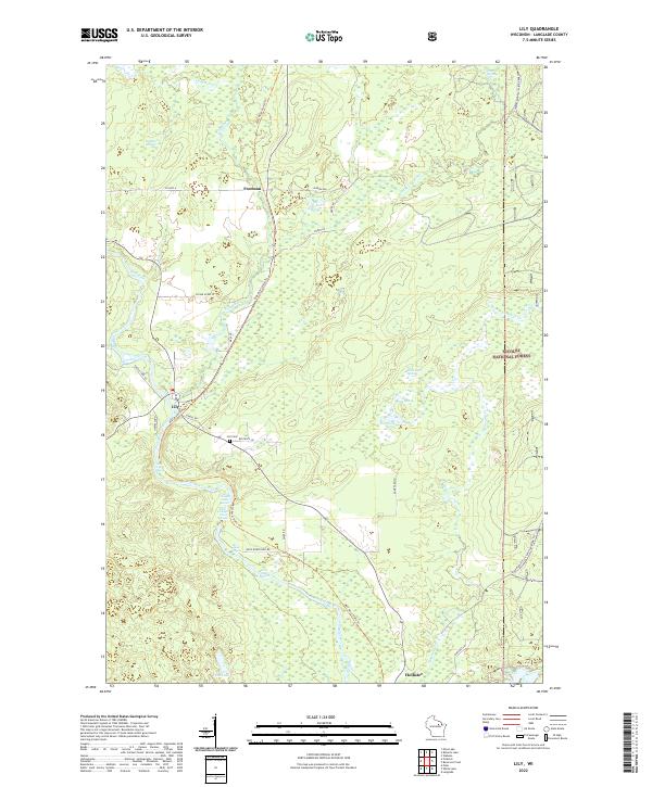
2022 Lily
Langlade County, WI
2022 Pearson
Langlade County, WI
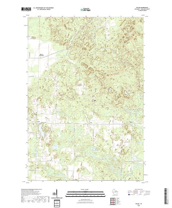
2022 Polar
Langlade County, WI
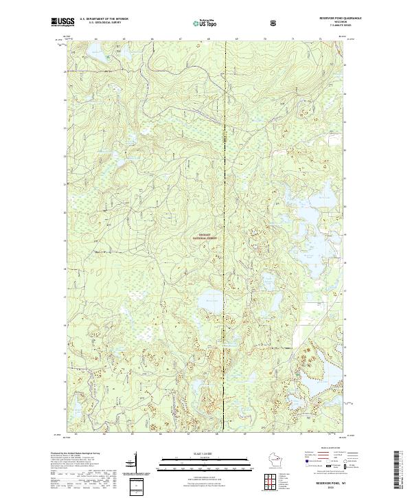
2022 Reservoir Pond
Langlade County, WI
2023 Kempster
Langlade County, WI
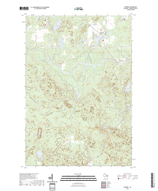
2023 Pickerel
Langlade County, WI