Old Maps of Valders, Wisconsin for Genealogy
Trace your family roots with 17 historic maps of Valders. These high-res maps reveal old neighborhoods, homesites, landmarks, and streets — helping you uncover where your ancestors lived and how the area evolved over time.
- Explore historic neighborhoods: Identify where your relatives may have lived in the 1800s or 1900s.
- Compare maps over time: Trace the changes in streets, buildings, and landmarks for multi-generational research.
- Perfect for genealogy & ancestry research: Used by family historians and researchers to map out lineage and migration.
These maps are an incredible resource for exploring your personal connection to Valders's past.
Valders, WI maps
(17)- 1954 Map of Reedsville, 1956 Print
 1954 Reedsville1956 Print · USGSManitowoc County's dairy heartland is captured in the mid-fifties, showing a landscape densely dotted with rural schoolhouses and family-named crossroads. Genealogists and historians can locate dozens of institutions like St Marys Cem, Cato Falls Sch, and the Maple Crest Sanatorium.2 unique versions available
 - 1954 Map of Manitowoc, 1968 Print
 1954 Manitowoc1968 Print · USGSLake Michigan served as a vital transit corridor in the mid-fifties, with car and auto ferries linking the industrial ports of Wisconsin to the Michigan timberlands. Genealogists and maritime historians can trace active ferry routes like the Ann Arbor Railway Car and Auto Ferry and locate early settlements from Brussels to Algoma.2 unique versions available
 - 1958 Map of Manitowoc
 1958 Manitowoc1958 Print · USGSLake Michigan and its shorelines are shown in the late fifties when maritime transport defined the region. Researchers can trace the routes of the Ann Arbor Railroad Ferry or locate old settlements like St. Nazianz, Rostock, and Two Creeks.
 - 1978 Map of Clarks Mills, 1979 Print
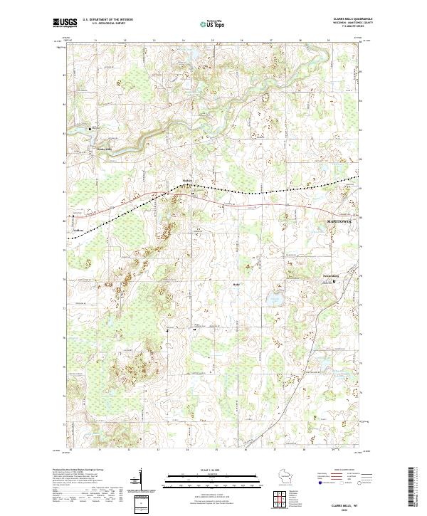
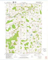 1978 Clarks Mills1979 Print · USGSManitowoc County's rural townships are captured here in the late seventies, showing a landscape defined by the winding river and the Soo Line rail. Genealogists can locate family landmarks like St Mary Cem, the Gjerpen Cem, and the old St Johns Sch.
 - 1978 Map of Valders, 1979 Print
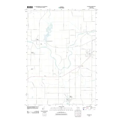
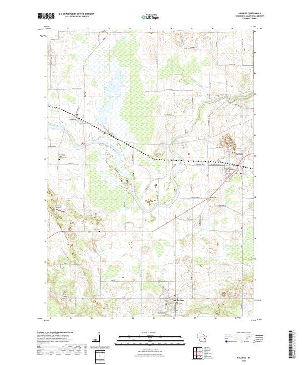
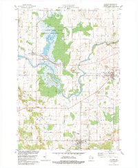 1978 Valders1979 Print · USGSThe rural landscape of Manitowoc County is captured here in the late 1970s, as small towns like Valders and St Nazianz thrive alongside the Manitowoc River. Genealogists and local historians can trace family-named roads and landmarks such as Tyler Cem, St Peters Sch, and the Soo Line railroad corridor.2 unique versions available
 - 1984 Map of Manitowoc, 1985 Print
 1984 Manitowoc1985 Print · USGSThe Lake Michigan shoreline of eastern Wisconsin is captured here in the mid-eighties, showing the bustling ports and rail-fed industry of the era. Genealogists and researchers can trace family-named sites near Stangelville, find the Francis Creek National Cem, or locate the U S Coast Guard Station.2 unique versions available
 - 1992 Map of Valders, 1996 Print
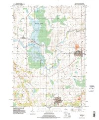 1992 Valders1996 Print · USGSManitowoc County rural life is captured here in the early nineties, centered on the villages of Valders, St Nazianz, and Collins. Genealogists and historians can trace family locations along Marken Road or locate the St Nazianz Ch and Valders Cemetery.
 - 2010 Map of Clarks Mills, 2010 Print
 2010 Clarks Mills2010 Print · USGSCovers Valders, including Manitowoc, Newton, and other nearby areas
 - 2010 Map of Valders, 2010 Print
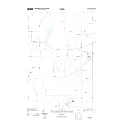
 2010 Valders2010 Print · USGSCovers Valders, including Saint Nazianz, St. Nazianz, and other nearby areas
 - 2013 Map of Valders, 2013 Print
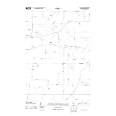
 2013 Valders2013 Print · USGSCovers Valders, including Saint Nazianz, St. Nazianz, and other nearby areas
 - 2013 Map of Clarks Mills, 2013 Print
 2013 Clarks Mills2013 Print · USGSCovers Valders, including Manitowoc, Newton, and other nearby areas
 - 2015 Map of Valders, 2015 Print
 2015 Valders2015 Print · USGSCovers Valders, including Saint Nazianz, St. Nazianz, and other nearby areas
 - 2015 Map of Clarks Mills, 2015 Print
 2015 Clarks Mills2015 Print · USGSCovers Valders, including Manitowoc, Newton, and other nearby areas
 - 2018 Map of Valders, 2018 Print
 2018 Valders2018 Print · USGSCovers Valders, including Saint Nazianz, St. Nazianz, and other nearby areas
 - 2018 Map of Clarks Mills, 2018 Print
 2018 Clarks Mills2018 Print · USGSCovers Valders, including Manitowoc, Newton, and other nearby areas
 - 2022 Map of Clarks Mills, 2022 Print
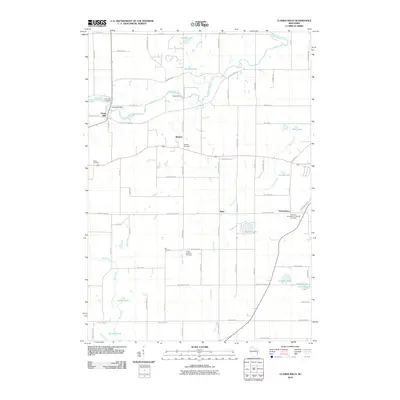
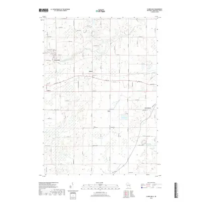
 2022 Clarks Mills2022 Print · USGSManitowoc County's rural landscape is preserved here as it appeared in the early 2020s, centered on the winding Manitowoc River. Genealogists can precisely locate family heritage sites like Saint Mary Cem, Gjerpen Cem, and the community of Clarks Mills.
 - 2022 Map of Valders, 2022 Print
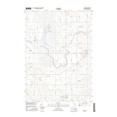
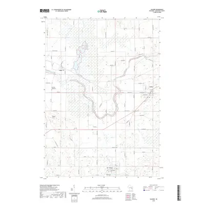
 2022 Valders2022 Print · USGSManitowoc County at the start of the 2020s shows a landscape deeply rooted in its early settlement patterns and religious heritage. Researchers can trace family history through sites like Tyler Cem or explore the village centers of St. Nazianz and Valders.
End of results
Showing maps 1-17 of 17
Top cities near Valders
- Manitowoc historical maps
- New Holstein historical maps
- Kiel historical maps
- Brillion historical maps
- Newton historical maps
- Rhine Center historical maps
See more
Frequently asked questions
- What are the different types of historical maps available for Valders?
- What is the oldest map of Valders?
- Where can I purchase historical maps of Valders for my home or office?
- Where can I download high-res historical maps of Valders?
- Are there historical topographic maps available for Valders?
- Is there historical aerial imagery available for Valders?
- Where are historical maps of Valders sourced from?