Loading...
Loading map...2022 Map of Clarks Mills
USGS Topo · Published 2022About this map
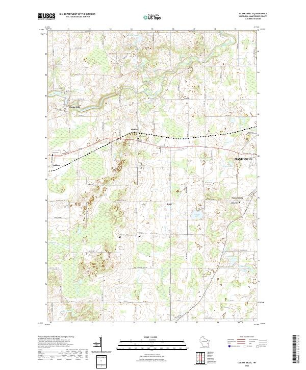
The Manitowoc River meanders through this portion of Manitowoc County, anchoring the small settlement of Clarks Mills. The landscape is defined by its glacial heritage, dotted with kettle lakes such as English Lake, Schisel Lake, and Carstens Lake. This 2022 survey illustrates the enduring agricultural character of the region, where the road network often aligns with original section lines, connecting established hamlets like Madsen, Valders, and Newtonburg.
Find a feature on this map
76 named features on this map. Tap any name to fly to it.
Don’t see what you’re looking for? This feature index may not catch every label — zoom into the map to look around manually.
Map Details
Date Portrayed2022
Date Published2022
PublisherU.S. Geological Survey
Map TypeTopographic
Scale1:24000
Physical Dimensions24 x 29 inches
Editions of this 2022 Clarks Mills Map
This is the sole edition of this map. No revisions or reprints were ever made.
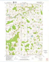
Historical Maps of Valders Through Time
Featured Locations
Source Details
SourceU.S. Geological Survey
CopyrightPublic Domain