Old Maps of Beaver, Wisconsin for Academic Research
Study the evolution of Beaver with 49 high-resolution historic maps. Whether you're teaching, researching, or modeling changes in land use, these maps provide essential visual documentation of urban, environmental, and geographic change.
- Analyze long-term change: Track patterns in development, transportation, and natural features.
- Ideal for environmental or urban studies: Support academic projects with primary historical map data.
- Use in the classroom or lab: Educators and researchers rely on these maps to bring historical context to life.
These maps are a powerful tool for teaching, research, and visualizing how Beaver has changed over the decades.
Beaver, WI maps
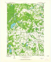
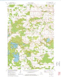
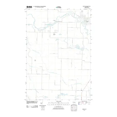
(49)- 1939 Map of Porterfield, 1952 Print
 1939 Porterfield1952 Print · USGSMarinette County was a landscape of timber, power, and scattered rural schoolhouses in the years just before the war. Genealogists can trace family roots through dozens of local landmarks like Behnke Sch, St Johns Ch, and the Harmony Cem.
 - 1941 Map of Coleman, 1965 Print
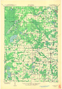
 1941 Coleman1965 Print · USGSMarinette and Oconto counties during the early 1940s show a landscape of timber, water power, and tight-knit rural communities. Genealogists can locate family-named landmarks like Gaffney L and numerous local schools such as Woodrow Wilson Sch and Goldfield Sch.2 unique versions available
 - 1942 Map of Coleman
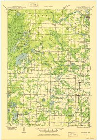
 1942 Coleman1942 Print · USGSThe rural Marinette and Oconto county lines are captured here in the early 1940s, a landscape defined by timber, small-scale farming, and the Peshtigo River. Researchers can trace old school districts like Woodrow Wilson Sch and historic local landmarks such as St Wenceslaus Ch and Sandstone Dam.
 - 1942 Map of Porterfield
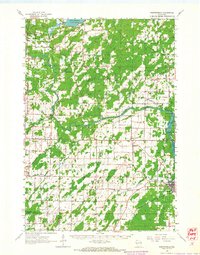
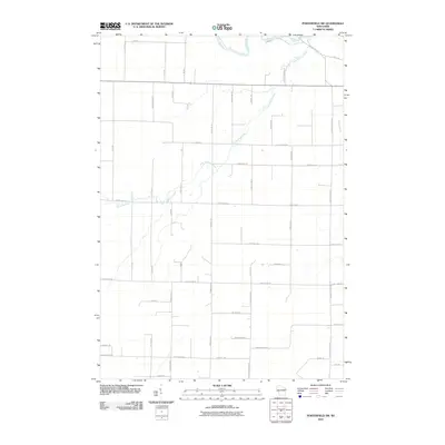
 1942 Porterfield1942 Print · USGSMarinette and Oconto counties are documented here in the early 1940s, showing a landscape defined by the Peshtigo River and its many rural school districts. Researchers can find dozens of local landmarks, including Bagley Junction, Harmony Cem, and the Potato Rapids Power Dam.
 - 1950 Map of Coleman
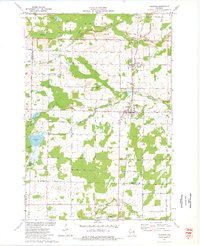
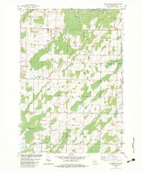
 1950 Coleman1950 Print · USGSNortheastern Wisconsin comes alive in the mid-century as family farms and lakeside communities thrived between Marinette and Oconto counties. Genealogists and local historians can trace legacy sites like the Second Polish Ch, Victory Sch, and the vanished tracks of the St Paul and Pacific RR.
 - 1954 Map of Iron Mountain, 1964 Print
 1954 Iron Mountain1964 Print · USGSUpper Michigan and Northeastern Wisconsin are shown in detail during the mid-fifties, when the logging and mining economies still moved by rail. Trace the rail lines of the Soo Line to remote stops like Koepenick Station or explore the Iron Range near Iron Mountain.2 unique versions available
 - 1954 Map of Escanaba, 1967 Print
 1954 Escanaba1967 Print · USGSThe Upper Peninsula and Door County shorelines meet here in the mid-fifties, showing the vital maritime and timber networks of the Great Lakes. Researchers can trace historic rail lines, old fire lookouts like the Stonington Fire Tower, and island settlements such as Washington Island.2 unique versions available
 - 1957 Map of Escanaba
 1957 Escanaba1957 Print · USGSThe Upper Peninsula and Door County shorelines meet in the mid-fifties, capturing a landscape of timber, iron, and maritime trade. Genealogists and local historians can trace the Chicago & North Western RR through settlements like Hermansville or locate St Vitals Church and the Potawatome Indian Reservation.
 - 1958 Map of Escanaba
 1958 Escanaba1958 Print · USGSNorthern Lake Michigan maritime commerce and timberlands are captured here in the mid-fifties. Genealogists and historians can trace rail networks like the Escanaba and Lake Superior or locate island settlements such as Detroit Harbor and Fish Creek.
 - 1959 Map of Iron Mountain
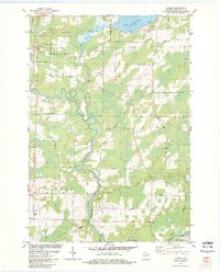
 1959 Iron Mountain1959 Print · USGSThe northwoods of Wisconsin and the Michigan border are captured here in the mid-fifties, showing a landscape defined by timber, water, and rail. Researchers can trace historic junctions like Hiles Junction, the expansive Nicolet National Forest, and lakefront settlements from Rhinelander to Tomahawk.2 unique versions available
 - 1963 Map of Porterfield, 1964 Print
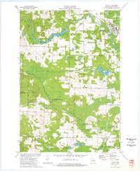
 1963 Porterfield1964 Print · USGSMarinette County in the early sixties is a landscape of river-powered industry and sprawling rail corridors connecting small farming hamlets. Genealogists can locate family ties at Porterfield Ch Cem or trace the rural school system through the Fairmont Sch and Job Place Sch.2 unique versions available
 - 1973 Map of Kelly Lake, 1977 Print
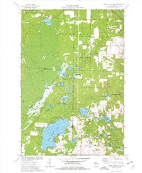
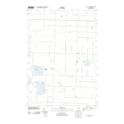
 1973 Kelly Lake1977 Print · USGSThe glacial lake country of Oconto County is captured here in the early seventies, showing a landscape defined by water and woods. Genealogists can locate family landmarks like Section Eight Church, St Wenceslaus Cem, and the old Klondike settlement.
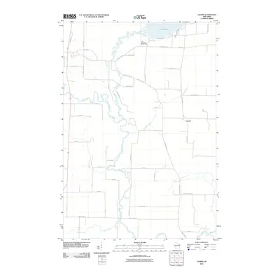
 - 1973 Map of Coleman, 1977 Print
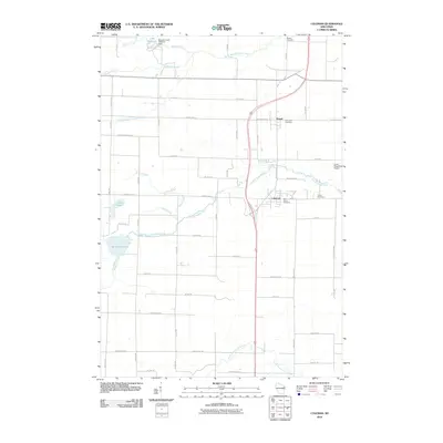
 1973 Coleman1977 Print · USGSThe villages of Pound and Coleman are shown during the 1970s as vital hubs along the Chicago Milwaukee St Paul and Pacific railroad. Genealogists and local historians can trace family sites at St Leos Cem, Town Cem, and the rural Section Eight Sch.
 - 1973 Map of White Potato Lake, 1977 Print
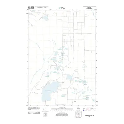
 1973 White Potato Lake1977 Print · USGSThe Marinette County lake country is captured here in the early seventies, just as modern conservation efforts were shaping the land. Genealogists and historians can locate Brazeau Cem, the Patz Landing Field, and the many family-named waters like Heisel Lake.
 - 1973 Map of Crivitz, 1977 Print
 1973 Crivitz1977 Print · USGSCrivitz and the Peshtigo River valley are shown in the early seventies, capturing a landscape where the Northwoods timber heritage meets mid-century recreation. You can trace the path of the Milwaukee Road railroad and locate rural landmarks like the Beaver Lookout Tower and Sandstone Dam.
 - 1981 Map of Marinette, 1982 Print
 1981 Marinette1982 Print · USGSThe Menominee River valley and Door County peninsula are captured here in the early 1980s, showcasing the region's timber and maritime foundations. Researchers can trace historic shorelines from Fish Creek to Deathdoor Bluff or locate inland landmarks like Lake Noquebay and Kangaroo Lake.
 - 1982 Map of Loomis, 1983 Print
 1982 Loomis1983 Print · USGSMarinette County in the early eighties shows a landscape shaped by the Peshtigo River and the legacy of the timber rail lines. Genealogists and local researchers can trace family landmarks like the St Paul Cem and the small settlement of Loomis.
 - 1982 Map of Porterfield SW, 1983 Print
 1982 Porterfield SW1983 Print · USGSNortheastern Wisconsin farmland and river valleys are captured here in the early eighties. Genealogists and local historians can trace family-named routes like Seefeldt Ln and Behnke Road or locate the St Matthews Ch and Equity Park.
 - 1990 Map of Wabeno, 1991 Print
 1990 Wabeno1991 Print · USGSThe Wisconsin Northwoods in the early nineties is a landscape of deep timber, tribal lands, and glacial lakes. Researchers can trace the Chicago and North Western rail line through lumber towns like Wabeno and Townsend or locate the Lakewood State Fish Hatchery.
 - 2010 Map of Kelly Lake, 2010 Print
 2010 Kelly Lake2010 Print · USGSCovers Beaver, including Spruce, Maple Valley, and other nearby areas
 - 2010 Map of Coleman, 2010 Print
 2010 Coleman2010 Print · USGSCovers Beaver, including Spruce, Coleman, and other nearby areas
 - 2010 Map of Crivitz, 2010 Print
 2010 Crivitz2010 Print · USGSCovers Beaver, including Crivitz, Stephenson, and other nearby areas
 - 2010 Map of Loomis, 2010 Print
 2010 Loomis2010 Print · USGSCovers Beaver, including Crivitz, Lake, and other nearby areas
 - 2010 Map of Porterfield SW, 2010 Print
 2010 Porterfield SW2010 Print · USGSCovers Beaver, including Lake, Grover, and other nearby areas
 - 2010 Map of White Potato Lake, 2010 Print
 2010 White Potato Lake2010 Print · USGSCovers Beaver, including Brazeau, Stephenson, and other nearby areas
Showing maps 1-25 of 49
Top cities near Beaver
- Stiles historical maps
- Crivitz historical maps
- Spruce historical maps
- Coleman historical maps
- Athelstane historical maps
- Wausaukee historical maps
See more
Frequently asked questions
- What are the different types of historical maps available for Beaver?
- What is the oldest map of Beaver?
- Where can I purchase historical maps of Beaver for my home or office?
- Where can I download high-res historical maps of Beaver?
- Are there historical topographic maps available for Beaver?
- Is there historical aerial imagery available for Beaver?
- Where are historical maps of Beaver sourced from?