2000s (21st Century) Maps of Wausaukee, Wisconsin
Explore 30 historic maps of Wausaukee from the 2000s (21st Century). These maps offer a rare glimpse into what life looked like during the 2000s — showing old roads, neighborhoods, homes, and landmarks that have changed or disappeared over time.
Whether you're researching your family's past, planning a metal detecting trip, or studying how Wausaukee's landscape evolved across the 2000s, these high-resolution maps are a powerful tool for exploring the history of this region.
- Focus on a specific era: All maps on this page are from the 2000s, giving you a focused view of this time period.
- See what’s changed: Compare century-old streets, trails, and buildings to today's modern landscape using overlays and satellite layers.
- Research with precision: Use these maps for genealogy, historical research, land use analysis, or educational projects.
- View, download, or print: Maps are fully viewable online in high resolution, and can be downloaded or printed for your own records.
Start exploring Wausaukee's history through authentic maps from the 2000s. This is your window into the past.
Wausaukee, WI maps
(30)- 2010 Map of Athelstane, 2010 Print
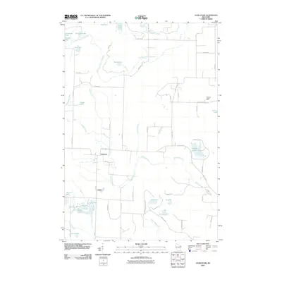 2010 Athelstane2010 Print · USGSMarinette County's lake-dotted terrain is documented here in the early twenty-first century. Researchers can locate the Athelstane Cemetery, trace the course of the Wausaukee River, and identify landmarks like the Cedarville Lookout Tower.
 - 2010 Map of Mount Tom, 2010 Print
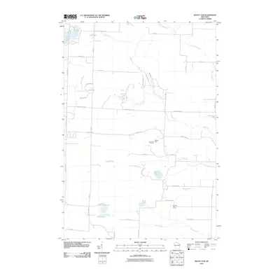 2010 Mount Tom2010 Print · USGSThe Marinette County backcountry is documented here during the early twenty-first century, showing a landscape defined by timber, fire management, and recreation. Genealogists and historians can trace family-named routes like Bizjak Ln and locate landmarks such as the Mount Tom Fire Tower and Retcof Lake.
 - 2011 Map of Bear Point, 2011 Print
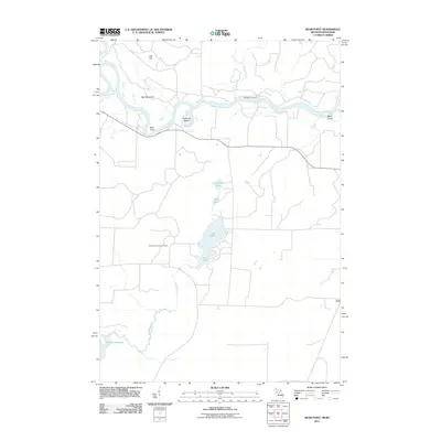 2011 Bear Point2011 Print · USGSThe Wisconsin-Michigan border country along the Menominee River comes into focus in this early twenty-first-century survey. Researchers can trace the riverbank from Sturgeon Landing past Bear Point to the Middle Inlet Lookout Tower.
 - 2011 Map of Wausaukee North, 2011 Print
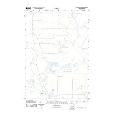 2011 Wausaukee North2011 Print · USGSMarinette County at the start of the 2010s reveals a landscape shaped by the Menominee River and the village of Wausaukee. Genealogists and local historians can locate the Amberg Cemetery and trace the paths of Holmes Creek and Cedarville Creek.
 - 2011 Map of Wausaukee South, 2011 Print
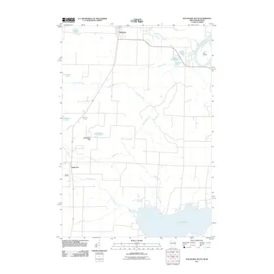 2011 Wausaukee South2011 Print · USGSMarinette County’s water-rich landscape is captured here in the early 2000s, showing the intricate network of inlets feeding into the Great Northwoods. Researchers can pinpoint Pinehill Cemetery, the settlement of Sweetheart City, and the winding course of the Menominee River.
 - 2011 Map of Resort Lake, 2011 Print
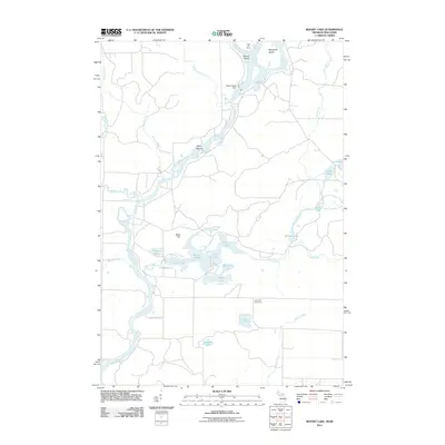 2011 Resort Lake2011 Print · USGSThe Menominee River borderlands at the start of the 2010s are defined by dam-managed waterways and glacial lake clusters. Genealogists and local historians can locate the Lost Lake Cemetery and trace the area's geography through landmarks like White Rapids Dam and Buck Hill.
 - 2013 Map of Wausaukee North, 2013 Print
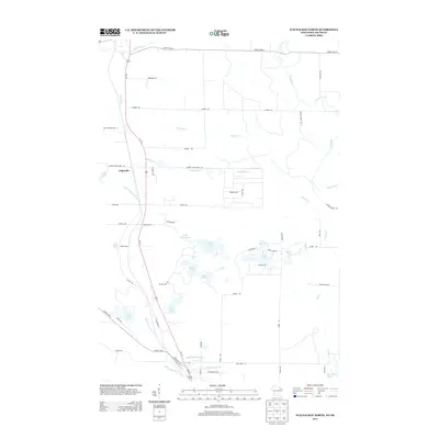 2013 Wausaukee North2013 Print · USGSMarinette County's northern forests and waterways are captured here in the early twenty-first century, showcasing a landscape defined by the Pike River. Genealogists and locals can trace the rural tracts around Cedarville, the Bible Camp, and the waters of Island Lake.
 - 2013 Map of Wausaukee South, 2013 Print
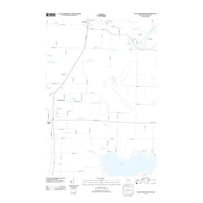 2013 Wausaukee South2013 Print · USGSMarinette County in the early twenty-first century reveals a landscape of winding river bends and quiet lakeside settlements. Researchers can trace the drainage of the Middle Inlet through numerous glacial lakes or locate family sites near Sweetheart City and The Oxbow.
 - 2013 Map of Athelstane, 2013 Print
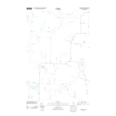 2013 Athelstane2013 Print · USGSThe unincorporated community of Athelstane and the surrounding Marinette County woodlands are documented here in the early twenty-first century. Genealogists and local historians can trace the paths of the Wausaukee River and find landmarks like the Cedarville Lookout Tower and Morgan Lake.
 - 2013 Map of Mount Tom, 2013 Print
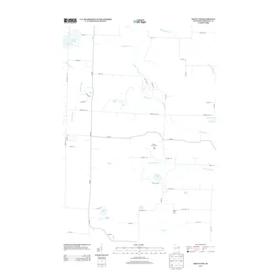 2013 Mount Tom2013 Print · USGSMarinette County’s glaciated landscape is shown here in the early twenty-first century, featuring a dense network of lakes and creeks. Researchers can locate family landmarks along Moonshine Hill Rd or trace the drainage of the Middle Inlet near the Mount Tom Fire Tower.
 - 2014 Map of Resort Lake, 2014 Print
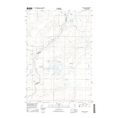 2014 Resort Lake2014 Print · USGSThe Menominee River borderlands between Wisconsin and Michigan are captured here in the mid-2010s, showing a landscape shaped by water and recreation. Genealogists and local historians can locate the Lost Lake Cem, the Lazy River Airport, and numerous family-named landmarks like Osborn Lake.
 - 2014 Map of Bear Point, 2014 Print
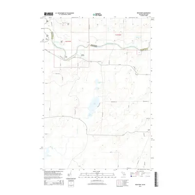 2014 Bear Point2014 Print · USGSThe river borderlands of Marinette and Menominee counties are shown here in the early twenty-first century. Genealogists and outdoorsmen can trace property lines and access points near Goll, Lake Noquebay, and the banks of the Menominee River.
 - 2015 Map of Athelstane, 2015 Print
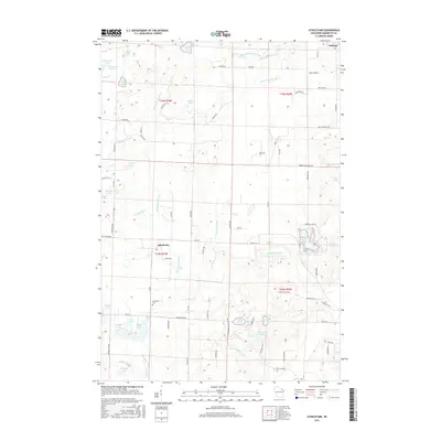 2015 Athelstane2015 Print · USGSMarinette County’s northern woodlands and glacial lake systems are extensively detailed in the mid-2010s. Researchers can locate family sites near Athelstane, trace the Athelstane Cemetery, and explore the drainage of the Wausaukee River and Morgan Lake.
 - 2015 Map of Mount Tom, 2015 Print
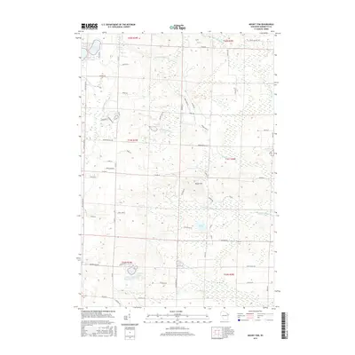 2015 Mount Tom2015 Print · USGSMarinette County’s lake country is documented here during the mid-2010s, showing a landscape defined by glacial water bodies and quiet rural roads. Genealogists and local historians can trace property access and shorelines around Mount Tom, Newton Lake, and Retcof Lake.
 - 2016 Map of Wausaukee North, 2016 Print
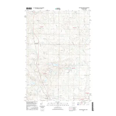 2016 Wausaukee North2016 Print · USGSMarinette County's lake-rich timberlands are documented here in the mid-2010s, showcasing the rural landscape surrounding the village of Wausaukee. Genealogists and local historians can trace family-named routes and landmarks like Amberg Cem, Cedarville, and Daves Falls.
 - 2016 Map of Wausaukee South, 2016 Print
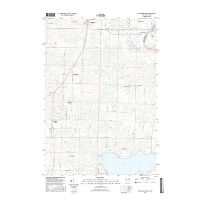 2016 Wausaukee South2016 Print · USGSMarinette County's network of glacial lakes and river systems is documented here in the years before the state's recent landscape shifts. Researchers can trace the borders of Sweetheart City and find family connections near Pinehill Cem or along the banks of the Menominee River.
 - 2017 Map of Resort Lake, 2017 Print
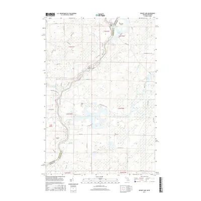 2017 Resort Lake2017 Print · USGSThe Menominee River borderlands are shown in detail during the late twenty-teens, documenting a region defined by its winding waterways and glacial lakes. Local researchers can locate Lost Lake Cem, the Lazy River Airport, and the namesake Resort Lake.
 - 2017 Map of Bear Point, 2017 Print
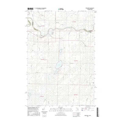 2017 Bear Point2017 Print · USGSMarinette County and the Michigan border are defined by the winding Menominee River in this modern survey. Genealogists and local historians can trace family-named routes and landmarks like Goll, Poche de Noche, and the slopes of Bear Mtn.
 - 2018 Map of Athelstane, 2018 Print
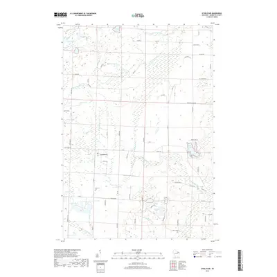 2018 Athelstane2018 Print · USGSMarinette County’s northern landscape is captured here in the late twenty-teens, centered on the rural settlement of Athelstane. Local historians can trace the community's layout near the Athelstane Cem and explore the many water bodies like Morgan Lake and the South Branch Pike River.
 - 2018 Map of Mount Tom, 2018 Print
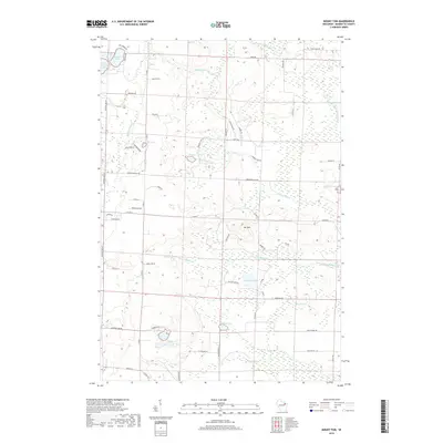 2018 Mount Tom2018 Print · USGSMarinette County in the late 2010s reveals a water-rich landscape dominated by glacial lakes and winding inlets near Athelstane. Researchers can trace land ownership and property boundaries near Mt Tom and along family-named routes like Delsart Ln and Tadisch Ln.
 - 2018 Map of Wausaukee North, 2018 Print
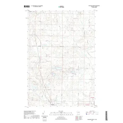 2018 Wausaukee North2018 Print · USGSNorthwestern Marinette County is documented here in the late twenty-tens, showing the complex river and lake systems between Amberg and Wausaukee. Researchers can trace old property access and local landmarks like Amberg Cem, Cedarville, and the banks of the Pike River.
 - 2018 Map of Wausaukee South, 2018 Print
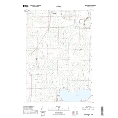 2018 Wausaukee South2018 Print · USGSMarinette County’s lake country is captured here in the late twenty-teens, showing the transition from Wausaukee down to the northern shores of Lake Noquebay. Researchers can trace local landmarks like Pinehill Cem and the small settlements of Middle Inlet and Sweetheart City.
 - 2019 Map of Resort Lake, 2019 Print
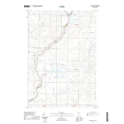 2019 Resort Lake2019 Print · USGSThe river border between Wisconsin and Michigan is captured here in the late 2010s, showing a landscape defined by its dense hydrology and forest roads. Genealogists and local historians can locate Lost Lake Cem and trace the winding paths of the Menominee River and Resort Lake.
 - 2019 Map of Bear Point, 2019 Print
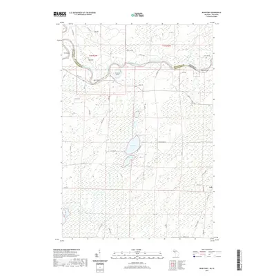 2019 Bear Point2019 Print · USGSThe Menominee River borderlands at the end of the 2010s remain a landscape of winding water and dense forest. Researchers can trace rural lineages through the tiny settlement of Goll and find landmarks like Bear Point, Lake Mary, and the Old Rail Rd.
 - 2022 Map of Mount Tom, 2022 Print
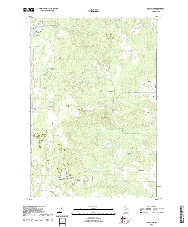 2022 Mount Tom2022 Print · USGSMarinette County’s lake country is mapped in detail here during the early twenty-first century, showcasing a landscape defined by glacial basins and timber lands. Researchers can trace land tracts near Mt Tom or locate lakeside properties around Newton Lake, Retcof Lake, and Star Lake.
Showing maps 1-25 of 30
Top cities near Wausaukee
- Porterfield historical maps
- Dunbar historical maps
- Beaver historical maps
- Pembine historical maps
- Crivitz historical maps
- Amberg historical maps
See more
Top neighborhoods of Wausaukee
Frequently asked questions
- What are the different types of historical maps available for Wausaukee?
- What is the oldest map of Wausaukee?
- Where can I purchase historical maps of Wausaukee for my home or office?
- Where can I download high-res historical maps of Wausaukee?
- Are there historical topographic maps available for Wausaukee?
- Is there historical aerial imagery available for Wausaukee?
- Where are historical maps of Wausaukee sourced from?