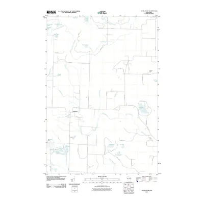
2010 Map of Athelstane
USGS Topo · Published 2010About this map
The settlement of Athelstane serves as the focal point for this 2010 survey of Marinette County, Wisconsin. The landscape is defined by an intricate network of glacial lakes and river systems, including the Wausaukee River and the South Branch Pike River. Local history is anchored at the Athelstane Cemetery south of the main village, while the Cedarville Lookout Tower provides a notable landmark in the eastern portion of the quadrangle.
Find a feature on this map
64 named features on this map. Tap any name to fly to it.
Don’t see what you’re looking for? This feature index may not catch every label — zoom into the map to look around manually.
Map Details
Editions of this 2010 Athelstane Map
This is the sole edition of this map. No revisions or reprints were ever made.
Other maps of this area

1939 · Pembine
USGS Topo · 1:48,000

1939 · Dunbar
USGS Topo · 1:48,000

1940 · Athelstane
USGS Topo · 1:48,000

1941 · Dunbar
USGS Topo · 1:48,000

1942 · Athelstane
USGS Topo · 1:48,000

1942 · Wausaukee
USGS Topo · 1:48,000

1947 · Pembine
USGS Topo · 1:48,000

1947 · Dunbar
USGS Topo · 1:48,000

1947 · Wausaukee
USGS Topo · 1:48,000

1954 · Iron Mountain
USGS Topo · 1:250,000