Old Maps of Leon, Wisconsin for Academic Research
Study the evolution of Leon with 34 high-resolution historic maps. Whether you're teaching, researching, or modeling changes in land use, these maps provide essential visual documentation of urban, environmental, and geographic change.
- Analyze long-term change: Track patterns in development, transportation, and natural features.
- Ideal for environmental or urban studies: Support academic projects with primary historical map data.
- Use in the classroom or lab: Educators and researchers rely on these maps to bring historical context to life.
These maps are a powerful tool for teaching, research, and visualizing how Leon has changed over the decades.
Leon, WI maps
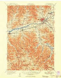
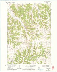
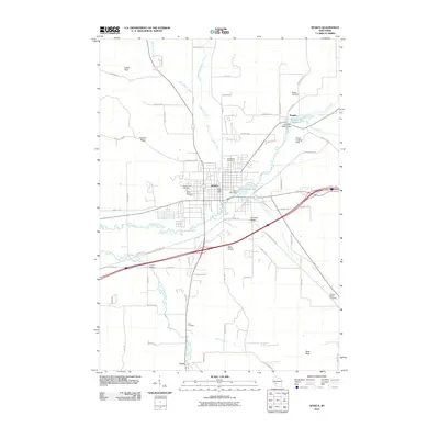
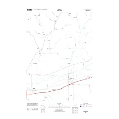
(34)- 1909 Map of Sparta
 1909 Sparta1909 Print · USGSMonroe and La Crosse Counties are shown here during the height of the steam-rail era, centered on the growing hub of Sparta. Genealogists can trace family holdings across the dissected ridges of Middle Ridge and Portland or along the rail stops at Rockland and Bangor.3 unique versions available
 - 1947 Map of Sparta, 1972 Print
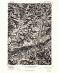
 1947 Sparta1972 Print · USGSMid-century Monroe County comes alive through a dense network of valley farms and small-town rail hubs just after the war. Researchers can trace dozens of rural school sites like East Beaver Sch and Lincoln Sch alongside the flight paths of the Sparta Landing Field.
 - 1949 Map of Sparta
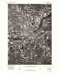
 1949 Sparta1949 Print · USGSMonroe and La Crosse Counties in the late 1940s are defined by the rail-carved valleys of the La Crosse River. Genealogists can trace rural life through landmarks like Hylandale Academy, SS Peter & Paul Sch, and the border of Camp McCoy Military Reservation.
 - 1958 Map of La Crosse, 1979 Print
 1958 La Crosse1979 Print · USGSThe Driftless Area of Wisconsin and Iowa is captured here during the late seventies, showing the intricate river valleys and ridge-top settlements. Genealogists and historians can trace the rail corridors of the Soo Line or locate landmarks like Grandad Bluff and Effigy Mounds National Monument.2 unique versions available
 - 1961 Map of La Crosse
 1961 La Crosse1961 Print · USGSThe Driftless Area at the start of the 1960s reveals a complex network of river towns and rail lines along the Mississippi River. Genealogists and historians can trace old settlements like New Amsterdam and Wyattville or locate major landmarks like Camp McCoy Military Reservation and Effigy Mounds National Monument.
 - 1965 Map of La Crosse
 1965 La Crosse1965 Print · USGSThe Driftless Area and the Upper Mississippi valley are captured here during a period of steady mid-century growth. Researchers can trace the rail lines of the Chicago and North Western or locate riverfront sites like Effigy Mounds National Monument and the Camp McCoy Military Reservation.
 - 1976 Map of La Crosse
 1976 La Crosse1976 Print · USGSThe Driftless Area and Mississippi River valley are captured here in the mid-seventies, showing a landscape of deep coulees and river commerce. Genealogists can trace family footprints from La Crosse to smaller hamlets like Newburg Corners and Witoka.
 - 1976 Map of Sparta NW, 1978 Print
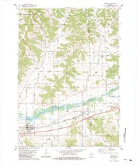
 1976 Sparta NW1978 Print · USGSThe river valley between Bangor and Rockland is captured here during the mid-seventies, showing a landscape defined by contour farming and rail lines. You can trace the winding path of the La Crosse River and several tributaries including Burns Creek.2 unique versions available
 - 1976 Map of Sparta NE, 1978 Print
 1976 Sparta NE1978 Print · USGSMonroe County in the mid-seventies shows a landscape of growing highway corridors and traditional Wisconsin dairy farms. Trace the 1976 layout of Sparta, the smaller settlement of Angelo, and the winding path of the La Crosse River.
 - 1983 Map of Sparta, 1984 Print
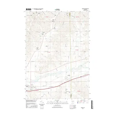
 1983 Sparta1984 Print · USGSMonroe County enters the 1980s as a bustling crossroads of rail lines, military land, and river valley farms. Genealogists and local historians can trace family plots at St Johns Cem or Mt Hope Cem and locate the historic Rolling Hills County Home.
 - 1983 Map of Middle Ridge, 1984 Print
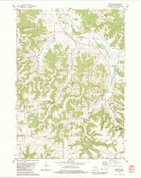
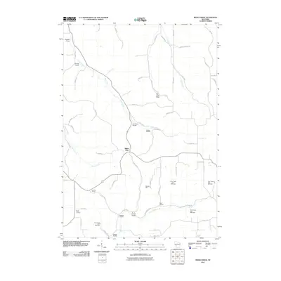
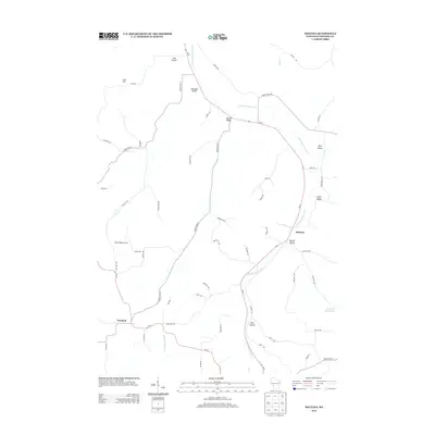
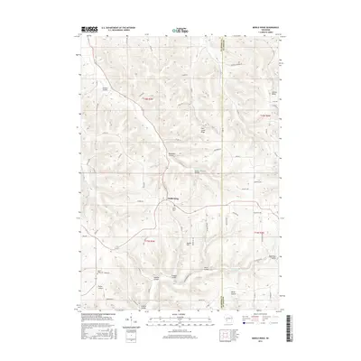
 1983 Middle Ridge1984 Print · USGSThe ridge-top settlements and deep coulees of eastern La Crosse County are captured here in the early 1980s. Researchers can locate local landmarks like St Peter Ch, Hylandale Academy, and the North Ridge Cem.
 - 1983 Map of Bangor, 1984 Print
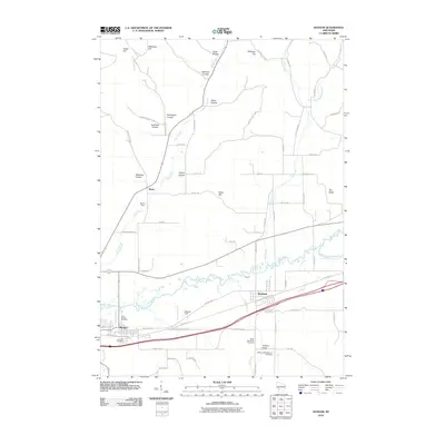
 1983 Bangor1984 Print · USGSThe La Crosse River valley and the dual-railroad corridor of the 1980s show a settled landscape of coulees and river flats. Genealogists can locate St Marys Cem, the Welsh Calvinistic Cem, and traces of the Chicago and North Western line.
 - 1983 Map of Melvina, 1984 Print
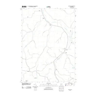
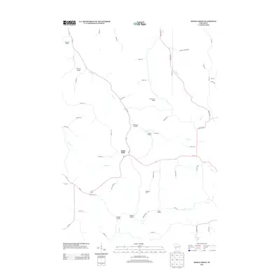
 1983 Melvina1984 Print · USGSThe Driftless Area of Monroe County is shown in the early 1980s, shaped by the Little La Crosse River and the winding rail lines of the era. Genealogists and historians can locate the Union Cem, the settlement of Portland, and the old Chicago and North Western railroad grade.
 - 1985 Map of Sparta
 1985 Sparta1985 Print · USGSWestern Wisconsin in the 1980s shows the unique ridge-and-valley terrain of the Driftless Area during a period of transition for its rails and rural hubs. Trace the historic rail tunnels of the Elroy-Sparta State Trail and find local landmarks like St Marys Ch and Castle Rock Lake.2 unique versions available
 - 2010 Map of Melvina, 2010 Print
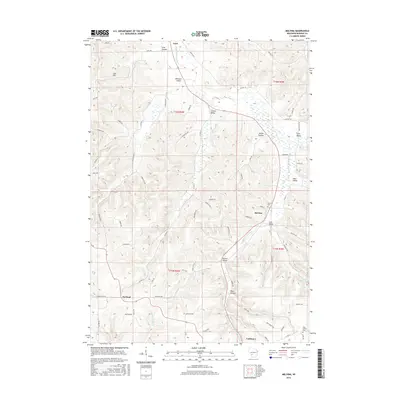
 2010 Melvina2010 Print · USGSCovers Leon, including Cashton, Melvina, and other nearby areas
 - 2010 Map of Sparta, 2010 Print
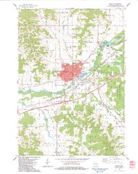
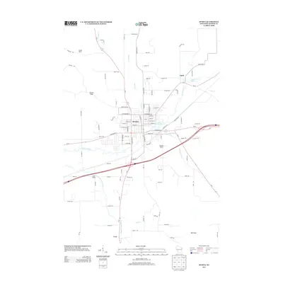
 2010 Sparta2010 Print · USGSCovers Leon, including Sparta, Sparta, and other nearby areas
 - 2010 Map of Middle Ridge, 2010 Print
 2010 Middle Ridge2010 Print · USGSCovers Leon, including Middle Ridge, Washington, and other nearby areas
 - 2010 Map of Bangor, 2010 Print
 2010 Bangor2010 Print · USGSCovers Leon, including Sparta, Bangor, and other nearby areas
 - 2013 Map of Sparta, 2013 Print
 2013 Sparta2013 Print · USGSCovers Leon, including Sparta, Sparta, and other nearby areas
 - 2013 Map of Bangor, 2013 Print
 2013 Bangor2013 Print · USGSCovers Leon, including Sparta, Bangor, and other nearby areas
 - 2013 Map of Middle Ridge, 2013 Print
 2013 Middle Ridge2013 Print · USGSCovers Leon, including Middle Ridge, Washington, and other nearby areas
 - 2013 Map of Melvina, 2013 Print
 2013 Melvina2013 Print · USGSCovers Leon, including Cashton, Melvina, and other nearby areas
 - 2016 Map of Bangor, 2016 Print
 2016 Bangor2016 Print · USGSCovers Leon, including Sparta, Bangor, and other nearby areas
 - 2016 Map of Melvina, 2016 Print
 2016 Melvina2016 Print · USGSCovers Leon, including Cashton, Melvina, and other nearby areas
 - 2016 Map of Middle Ridge, 2016 Print
 2016 Middle Ridge2016 Print · USGSCovers Leon, including Middle Ridge, Washington, and other nearby areas
Showing maps 1-25 of 34
Top cities near Leon
- Sparta historical maps
- Sparta historical maps
- West Salem historical maps
- Westby historical maps
- Bangor historical maps
- Angelo historical maps
See more
Frequently asked questions
- What are the different types of historical maps available for Leon?
- What is the oldest map of Leon?
- Where can I purchase historical maps of Leon for my home or office?
- Where can I download high-res historical maps of Leon?
- Are there historical topographic maps available for Leon?
- Is there historical aerial imagery available for Leon?
- Where are historical maps of Leon sourced from?