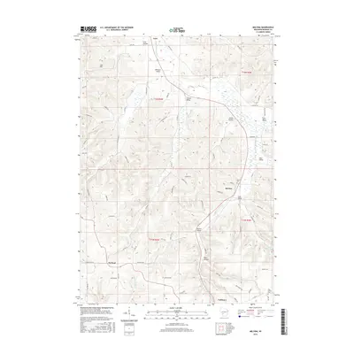
2016 Map of Melvina
USGS Topo · Published 2016About this map
The Little La Crosse River carves a winding path through this corner of Monroe County, defining the drainage patterns for numerous local landmarks including Leon Valley and Steele Coulee. This 2016 survey documents the small village of Melvina and the northern outskirts of Cashton, showcasing a landscape deeply segmented by narrow valleys and ridges. The topography reveals several named coulees and hollows, such as Lyon Valley and Pine Hollow, which have long dictated the placement of roads and homesteads in the region.
Find a feature on this map
73 named features on this map. Tap any name to fly to it.
Don’t see what you’re looking for? This feature index may not catch every label — zoom into the map to look around manually.
Map Details
Editions of this 2016 Melvina Map
This is the sole edition of this map. No revisions or reprints were ever made.
Other maps of this area

1909 · Sparta
USGS Topo · 1:62,500

1916 · Tomah
USGS Topo · 1:62,500

1923 · Viroqua
USGS Topo · 1:62,500

1926 · Viroqua
USGS Topo · 1:62,500

1926 · La Farge
USGS Topo · 1:62,500

1947 · Sparta
USGS Topo · 1:62,500

1949 · Sparta
USGS Topo · 1:62,500

1949 · Tomah
USGS Topo · 1:62,500

1958 · La Crosse
USGS Topo · 1:250,000

1961 · La Crosse
USGS Topo · 1:250,000