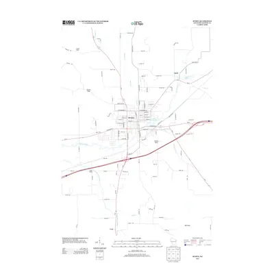
2013 Map of Sparta
USGS Topo · Published 2013About this map
Sparta serves as the central hub of this Monroe County landscape, where the confluence of Beaver Cr and the La Crosse River shaped the early layout of the town. The residential and commercial grid is tightly clustered around Perch Lake 143, while the surrounding countryside transitions into the agricultural valleys and bluffs typical of the region. To the north, Angelo sits adjacent to Angelo Pond, while the southern reaches of the map follow the Little LaCrosse River toward the settlement of Leon.
Find a feature on this map
98 named features on this map. Tap any name to fly to it.
Don’t see what you’re looking for? This feature index may not catch every label — zoom into the map to look around manually.
Map Details
Editions of this 2013 Sparta Map
This is the sole edition of this map. No revisions or reprints were ever made.
Other maps of this area

1909 · Sparta
USGS Topo · 1:62,500

1916 · Tomah
USGS Topo · 1:62,500

1928 · Melrose
USGS Topo · 1:48,000

1947 · Millston
USGS Topo · 1:62,500

1947 · Sparta
USGS Topo · 1:62,500

1949 · Millston
USGS Topo · 1:62,500

1949 · Sparta
USGS Topo · 1:62,500

1949 · Tomah
USGS Topo · 1:62,500

1949 · Melrose
USGS Topo · 1:62,500

1953 · Eau Claire
USGS Topo · 1:250,000