Old Maps of Leon, Wisconsin for Hiking & Exploration
Hike through history with 34 historic maps of Leon. Explore old trails, ghost towns, and forgotten backroads — perfect for outdoor adventurers and local explorers.
- Rediscover forgotten places: Map out old mining camps, roads, and footpaths that no longer exist on modern maps.
- Layer with modern tools: Combine with LiDAR or satellite views to plan hikes through historical terrain.
- Made for exploration: Popular among hikers, overlanders, and local history lovers.
Use these maps to find adventure and explore the hidden past of Leon.
Leon, WI maps
(34)- 1909 Map of Sparta
 1909 Sparta1909 Print · USGSMonroe and La Crosse Counties are shown here during the height of the steam-rail era, centered on the growing hub of Sparta. Genealogists can trace family holdings across the dissected ridges of Middle Ridge and Portland or along the rail stops at Rockland and Bangor.3 unique versions available
 - 1947 Map of Sparta, 1972 Print
 1947 Sparta1972 Print · USGSMid-century Monroe County comes alive through a dense network of valley farms and small-town rail hubs just after the war. Researchers can trace dozens of rural school sites like East Beaver Sch and Lincoln Sch alongside the flight paths of the Sparta Landing Field.
 - 1949 Map of Sparta
 1949 Sparta1949 Print · USGSMonroe and La Crosse Counties in the late 1940s are defined by the rail-carved valleys of the La Crosse River. Genealogists can trace rural life through landmarks like Hylandale Academy, SS Peter & Paul Sch, and the border of Camp McCoy Military Reservation.
 - 1958 Map of La Crosse, 1979 Print
 1958 La Crosse1979 Print · USGSThe Driftless Area of Wisconsin and Iowa is captured here during the late seventies, showing the intricate river valleys and ridge-top settlements. Genealogists and historians can trace the rail corridors of the Soo Line or locate landmarks like Grandad Bluff and Effigy Mounds National Monument.2 unique versions available
 - 1961 Map of La Crosse
 1961 La Crosse1961 Print · USGSThe Driftless Area at the start of the 1960s reveals a complex network of river towns and rail lines along the Mississippi River. Genealogists and historians can trace old settlements like New Amsterdam and Wyattville or locate major landmarks like Camp McCoy Military Reservation and Effigy Mounds National Monument.
 - 1965 Map of La Crosse
 1965 La Crosse1965 Print · USGSThe Driftless Area and the Upper Mississippi valley are captured here during a period of steady mid-century growth. Researchers can trace the rail lines of the Chicago and North Western or locate riverfront sites like Effigy Mounds National Monument and the Camp McCoy Military Reservation.
 - 1976 Map of La Crosse
 1976 La Crosse1976 Print · USGSThe Driftless Area and Mississippi River valley are captured here in the mid-seventies, showing a landscape of deep coulees and river commerce. Genealogists can trace family footprints from La Crosse to smaller hamlets like Newburg Corners and Witoka.
 - 1976 Map of Sparta NW, 1978 Print
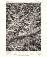 1976 Sparta NW1978 Print · USGSThe river valley between Bangor and Rockland is captured here during the mid-seventies, showing a landscape defined by contour farming and rail lines. You can trace the winding path of the La Crosse River and several tributaries including Burns Creek.2 unique versions available
 - 1976 Map of Sparta NE, 1978 Print
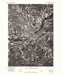 1976 Sparta NE1978 Print · USGSMonroe County in the mid-seventies shows a landscape of growing highway corridors and traditional Wisconsin dairy farms. Trace the 1976 layout of Sparta, the smaller settlement of Angelo, and the winding path of the La Crosse River.
 - 1983 Map of Sparta, 1984 Print
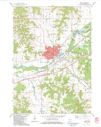 1983 Sparta1984 Print · USGSMonroe County enters the 1980s as a bustling crossroads of rail lines, military land, and river valley farms. Genealogists and local historians can trace family plots at St Johns Cem or Mt Hope Cem and locate the historic Rolling Hills County Home.
 - 1983 Map of Middle Ridge, 1984 Print
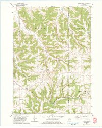 1983 Middle Ridge1984 Print · USGSThe ridge-top settlements and deep coulees of eastern La Crosse County are captured here in the early 1980s. Researchers can locate local landmarks like St Peter Ch, Hylandale Academy, and the North Ridge Cem.
 - 1983 Map of Bangor, 1984 Print
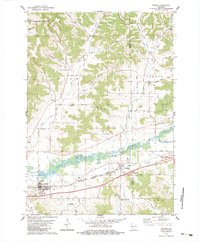 1983 Bangor1984 Print · USGSThe La Crosse River valley and the dual-railroad corridor of the 1980s show a settled landscape of coulees and river flats. Genealogists can locate St Marys Cem, the Welsh Calvinistic Cem, and traces of the Chicago and North Western line.
 - 1983 Map of Melvina, 1984 Print
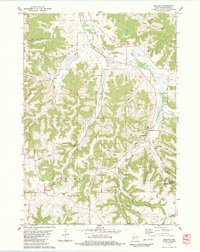 1983 Melvina1984 Print · USGSThe Driftless Area of Monroe County is shown in the early 1980s, shaped by the Little La Crosse River and the winding rail lines of the era. Genealogists and historians can locate the Union Cem, the settlement of Portland, and the old Chicago and North Western railroad grade.
 - 1985 Map of Sparta
 1985 Sparta1985 Print · USGSWestern Wisconsin in the 1980s shows the unique ridge-and-valley terrain of the Driftless Area during a period of transition for its rails and rural hubs. Trace the historic rail tunnels of the Elroy-Sparta State Trail and find local landmarks like St Marys Ch and Castle Rock Lake.2 unique versions available
 - 2010 Map of Melvina, 2010 Print
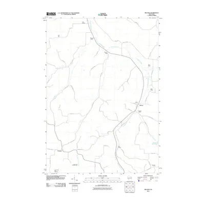 2010 Melvina2010 Print · USGSThe valleys and coulees of Monroe County are documented here as they appeared in the early 2000s. Genealogists and local historians can trace the rural communities of Melvina and Portland, alongside landmarks like Union Cemetery and Pinnacle Rock Pond.
 - 2010 Map of Sparta, 2010 Print
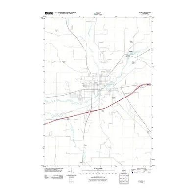 2010 Sparta2010 Print · USGSMonroe County in the late 2000s shows a landscape defined by the winding La Crosse River and the established hub of Sparta. Researchers can trace local heritage through numerous burial sites like Mount Hope Cemetery or follow the path of the Elroy Sparta State Trl.
 - 2010 Map of Middle Ridge, 2010 Print
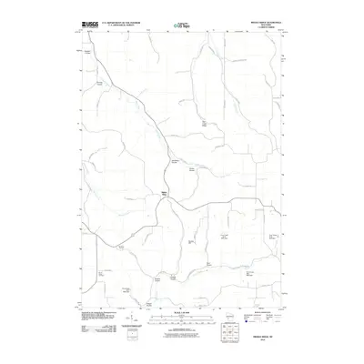 2010 Middle Ridge2010 Print · USGSThe ridge-and-coulee country of Monroe County is captured here in the early twenty-first century, showing a landscape defined by steep topography. Researchers can trace rural cemeteries like North Ridge Cemetery and explore named valleys such as Russian Coulee and Sedevie Coulee.
 - 2010 Map of Bangor, 2010 Print
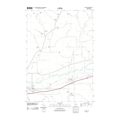 2010 Bangor2010 Print · USGSWisconsin's coulee country comes into focus in this 2010 survey of the villages along the La Crosse River. Genealogists can locate family sites at the Welsh Calvanistic Cemetery and Fairview Cemetery, or trace the winding paths of Norwegian Coulee and Olson Coulee.
 - 2013 Map of Sparta, 2013 Print
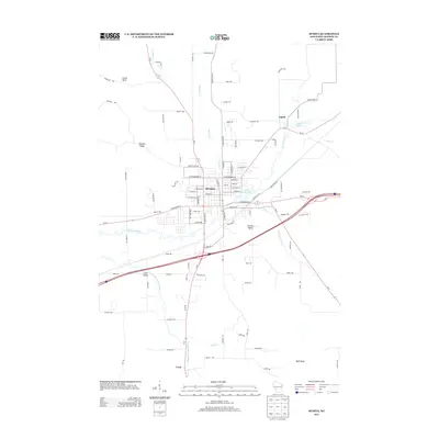 2013 Sparta2013 Print · USGSMonroe County's settlement patterns and river valleys are clearly defined in this mid-2010s survey of the Sparta area. Local historians can trace the development of small communities like Angelo and Leon or locate geographic landmarks such as Castle Rock and Perch Lake 143.
 - 2013 Map of Bangor, 2013 Print
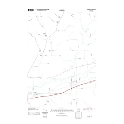 2013 Bangor2013 Print · USGSThe river valleys and coulees of La Crosse and Monroe Counties are shown in high detail here during the early twenty-first century. Researchers can trace family-named landmarks like Pettinger Hill or follow the paths of Burns Cr and Fish Cr through Rockland and Bangor.
 - 2013 Map of Middle Ridge, 2013 Print
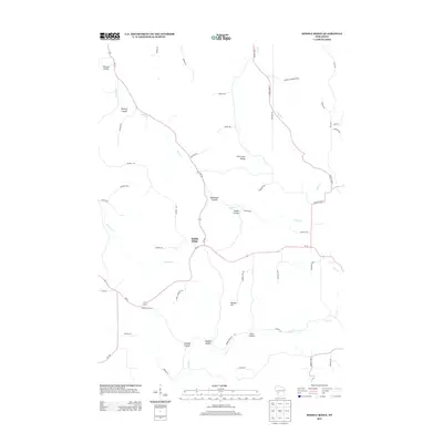 2013 Middle Ridge2013 Print · USGSMonroe County's ridge-and-valley landscape is captured here in the early twenty-first century, showing the enduring agricultural layout of the Driftless Area. Trace family land ties along Korn Coulee and Russian Coulee or locate the rural hubs of Middle Ridge and Newberg Corners.
 - 2013 Map of Melvina, 2013 Print
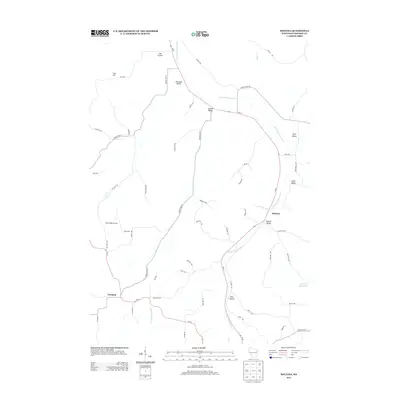 2013 Melvina2013 Print · USGSMonroe County's coulee country and valley settlements are shown here during the early twenty-first century. Genealogists and local historians can trace the landscape around Melvina and Portland, including landmarks like Maple Ridge Orchard and Pleasant Valley.
 - 2016 Map of Bangor, 2016 Print
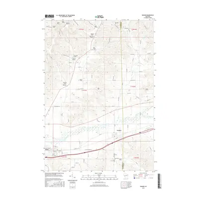 2016 Bangor2016 Print · USGSThe Driftless Area river valleys of La Crosse and Monroe counties come into focus in the mid-2010s. Genealogists can trace family heritage through sites like Saint Marys Cemetery and the distinct Welsh Calvanistic Cemetery near Rockland.
 - 2016 Map of Melvina, 2016 Print
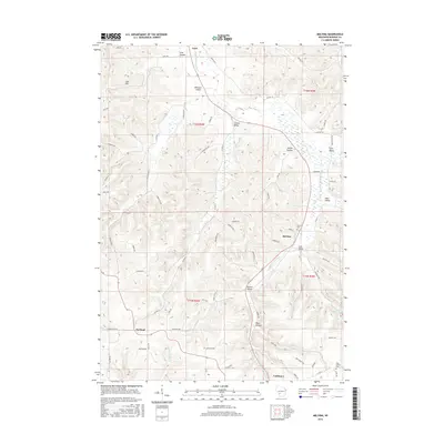 2016 Melvina2016 Print · USGSThe Driftless Area landscape around Cashton and Melvina is shown here in the mid-2010s, where deep coulees shape the rural road network. Researchers can trace family history through sites like Union Cem and Pine Hollow Cem or locate the headwaters of the Little La Crosse River.
 - 2016 Map of Middle Ridge, 2016 Print
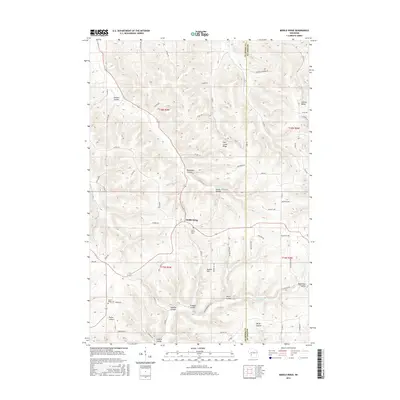 2016 Middle Ridge2016 Print · USGSThe coulee country along the La Crosse and Monroe County border is documented here in the mid-2010s, showing a landscape of high ridges and deep valleys. Researchers can trace the rural communities of Middle Ridge and Jenkins Valley, along with local burial grounds like Saint Peter's Cem.
Showing maps 1-25 of 34
Top cities near Leon
- Sparta historical maps
- Sparta historical maps
- West Salem historical maps
- Westby historical maps
- Bangor historical maps
- Angelo historical maps
See more
Frequently asked questions
- What are the different types of historical maps available for Leon?
- What is the oldest map of Leon?
- Where can I purchase historical maps of Leon for my home or office?
- Where can I download high-res historical maps of Leon?
- Are there historical topographic maps available for Leon?
- Is there historical aerial imagery available for Leon?
- Where are historical maps of Leon sourced from?