Old Maps of Kaukauna, Wisconsin for Metal Detecting
Plan your next treasure hunt with 32 historic maps of Kaukauna. Find old homesites, ghost towns, trails, and gathering spots that may be lost to time — perfect for identifying promising metal detecting locations.
- Locate forgotten sites: Uncover places like long-lost settlements, abandoned rail lines, or gathering spots.
- Plan better hunts: Use map overlays combined with LiDAR or satellite views to narrow in on historically rich areas.
- Made for detectorists: Thousands of hobbyists use these maps to discover relics, coins, and hidden history.
Use these historic maps to boost your research and find new opportunities beneath the surface of Kaukauna.
Kaukauna, WI maps
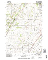
(32)- 1954 Map of De Pere, 1956 Print
 1954 De Pere1956 Print · USGSThe Fox River valley in the mid-1950s was a hub of industrial navigation and growing aviation between De Pere and Green Bay. Genealogists can trace family names through dozens of rural sites like St Patrick Cem, Gopher Hill, and the Michaelson Sch (Abandoned).2 unique versions available
 - 1955 Map of Appleton, 1957 Print
 1955 Appleton1957 Print · USGSOutagamie County's river-driven industrial valley and sprawling northern farmsteads are captured here in the mid-1950s. Genealogists and historians can trace the foundations of Appleton and Kaukauna or locate rural landmarks like Mackville Station and the Herman Sch (Abandoned).2 unique versions available
 - 1955 Map of Green Bay, 1968 Print
 1955 Green Bay1968 Print · USGSCentral and Eastern Wisconsin are captured here in the mid-fifties, showing the industrial growth of the Fox Valley and Wisconsin River corridors. Genealogists and historians can trace rail lines like the Green Bay and Western through settlements like Weyauwega, Clintonville, and Pulaski.2 unique versions available
 - 1974 Map of Kaukauna, 1978 Print
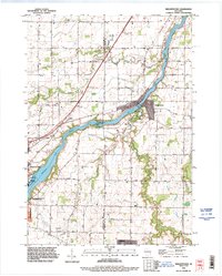
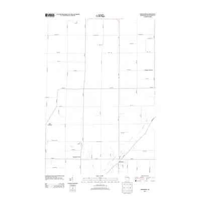
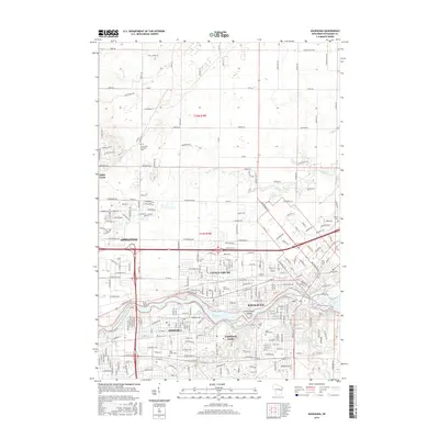
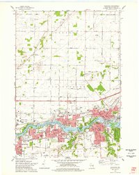 1974 Kaukauna1978 Print · USGSKaukauna and the surrounding Fox River valley are captured in the mid-seventies, showing the dense industrial and parish-linked neighborhoods of the era. Researchers can trace family roots through numerous sites like Holy Name Cem, St John Cem, and schools like Electa Quinney Sch.2 unique versions available
 - 1974 Map of Oneida South, 1978 Print
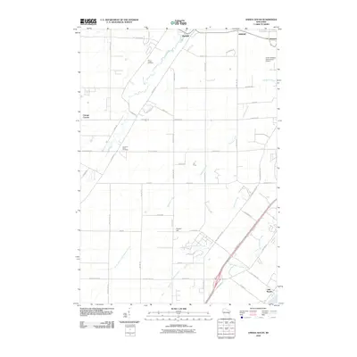
 1974 Oneida South1978 Print · USGSThe Oneida Indian Reservation and the banks of the Fox River are captured here during the mid-seventies. Researchers can trace ancestral locations and local landmarks from Little Rapids to the Immaculate Conception Sch and Lost Dauphin State Park.
 - 1974 Map of Freedom, 1978 Print
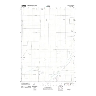
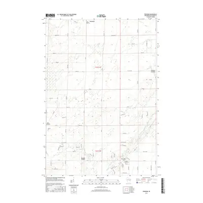
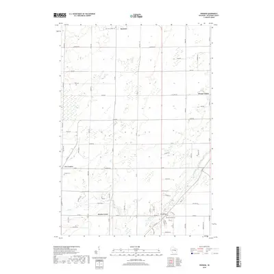
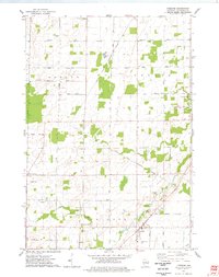 1974 Freedom1978 Print · USGSOutagamie County in the mid-1970s shows a landscape defined by the Oneida Indian Reservation Boundary and traditional dairy-country settlements. Genealogists and local historians can locate several rural burial sites like St John the Baptist Cem and trace the small crossroads communities of Chicago Corners and Five Corners.
 - 1974 Map of Wrightstown, 1978 Print
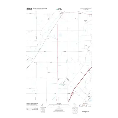
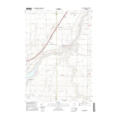
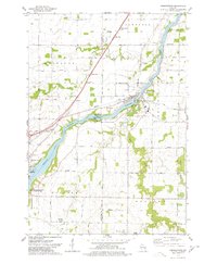 1974 Wrightstown1978 Print · USGSWrightstown and the Fox River valley are captured in the mid-1970s, showing a landscape defined by water power and rural crossroads. Genealogists can locate numerous local burial sites like St Johns Cem and South Lawrence Cem, or trace the old Chicago and Northwestern rail corridor.
 - 1984 Map of Appleton, 1985 Print
 1984 Appleton1985 Print · USGSThe Fox River Valley in the mid-eighties shows a bustling corridor of industry and nature, from the shores of Lake Winnebago to the Oneida Indian Reservation. Trace local heritage through landmarks like Riverside Cem or explore the wetlands of Poygan Marsh State Wildlife Area.2 unique versions available
 - 1992 Map of Freedom, 1996 Print
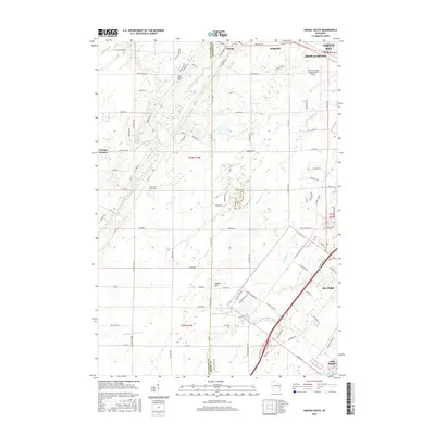
 1992 Freedom1996 Print · USGSOutagamie County in the early nineties is a patchwork of historic farmsteads and reservation lands. Genealogists and local historians can trace burial sites like St John the Baptist Cemetery and old crossroads like Chicago Corners or Murphy Corner.
 - 1992 Map of Oneida South, 1996 Print
 1992 Oneida South1996 Print · USGSThe Oneida Reservation and Brown County borderland are captured here in the early nineties as modern development met historic settlements. Genealogists and local historians can trace family-named routes like Van Boxtel Road or locate Saint Joseph Cemetery and the grounds of Lost Dauphin State Park.
 - 1992 Map of Kaukauna, 1996 Print
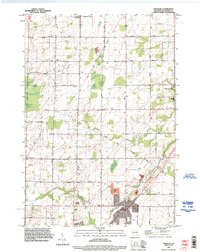
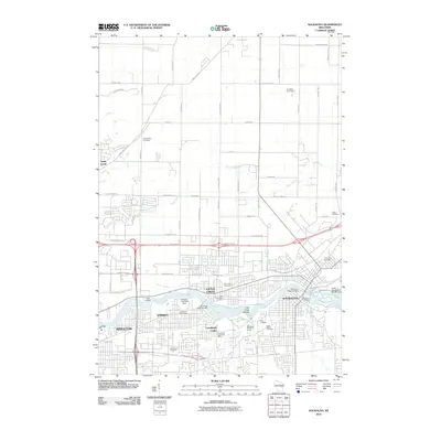
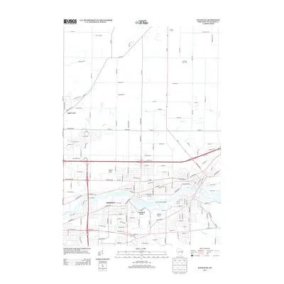
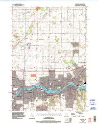 1992 Kaukauna1996 Print · USGSThe Fox River industrial corridor is shown in high detail during the early nineties as urban centers like Kaukauna and Little Chute expanded. Genealogists can locate several local burial grounds such as St John Cem and Holy Name Cemetery alongside parks like Thousand Island State Conservancy Park.
 - 1992 Map of Wrightstown, 1996 Print
 1992 Wrightstown1996 Print · USGSThe Fox River valley in the early nineties shows a balance of industrial power and rural community life. Genealogists can locate several historic burial grounds including St Paul Cemetery and St Johns Cemetery, or trace the path of Plum Creek through Holland.
 - 2010 Map of Wrightstown, 2010 Print
 2010 Wrightstown2010 Print · USGSCovers Kaukauna, including Wrightstown, Holland, and other nearby areas
 - 2010 Map of Kaukauna, 2010 Print
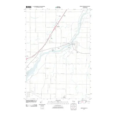
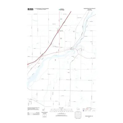
 2010 Kaukauna2010 Print · USGSCovers Kaukauna, including Appleton, Grand Chute, and other nearby areas
 - 2010 Map of Freedom, 2010 Print
 2010 Freedom2010 Print · USGSCovers Kaukauna, including Freedom, Seymour, and other nearby areas
 - 2010 Map of Oneida South, 2010 Print
 2010 Oneida South2010 Print · USGSCovers Kaukauna, including Green Bay, De Pere, and other nearby areas
 - 2013 Map of Oneida South, 2013 Print
 2013 Oneida South2013 Print · USGSCovers Kaukauna, including Green Bay, De Pere, and other nearby areas
 - 2013 Map of Freedom, 2013 Print
 2013 Freedom2013 Print · USGSCovers Kaukauna, including Freedom, Seymour, and other nearby areas
 - 2013 Map of Kaukauna, 2013 Print
 2013 Kaukauna2013 Print · USGSCovers Kaukauna, including Appleton, Grand Chute, and other nearby areas
 - 2013 Map of Wrightstown, 2013 Print
 2013 Wrightstown2013 Print · USGSCovers Kaukauna, including Wrightstown, Holland, and other nearby areas
 - 2016 Map of Freedom, 2016 Print
 2016 Freedom2016 Print · USGSCovers Kaukauna, including Freedom, Seymour, and other nearby areas
 - 2016 Map of Kaukauna, 2016 Print
 2016 Kaukauna2016 Print · USGSCovers Kaukauna, including Appleton, Grand Chute, and other nearby areas
 - 2016 Map of Oneida South, 2016 Print
 2016 Oneida South2016 Print · USGSCovers Kaukauna, including Green Bay, De Pere, and other nearby areas
 - 2016 Map of Wrightstown, 2016 Print
 2016 Wrightstown2016 Print · USGSCovers Kaukauna, including Wrightstown, Holland, and other nearby areas
 - 2018 Map of Freedom, 2018 Print
 2018 Freedom2018 Print · USGSCovers Kaukauna, including Freedom, Seymour, and other nearby areas
Showing maps 1-25 of 32
Top cities near Kaukauna
- Green Bay historical maps
- Appleton historical maps
- Neenah historical maps
- De Pere historical maps
- Grand Chute historical maps
- Fox Crossing historical maps
See more
Top neighborhoods of Kaukauna
Frequently asked questions
- What are the different types of historical maps available for Kaukauna?
- What is the oldest map of Kaukauna?
- Where can I purchase historical maps of Kaukauna for my home or office?
- Where can I download high-res historical maps of Kaukauna?
- Are there historical topographic maps available for Kaukauna?
- Is there historical aerial imagery available for Kaukauna?
- Where are historical maps of Kaukauna sourced from?