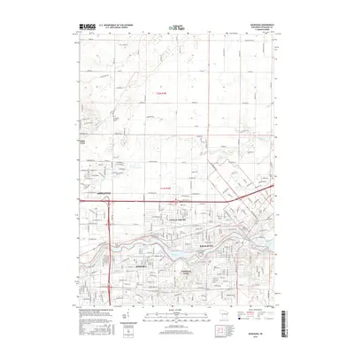
2016 Map of Kaukauna
USGS Topo · Published 2016About this map
The Fox River corridor forms the industrial and civic spine of this mid-2010s landscape, connecting the contiguous communities of Appleton, Kimberly, Little Chute, Combined Locks, and Kaukauna. This map details the dense residential grids and commercial development that follow the river's path, where geography and water power historically dictated the growth of these paper-milling towns. The northern half of the survey transitions into a more structured agricultural and suburban layout, defined by roads like Greiner Rd and Wege Rd, and drained by the winding course of Apple Creek.
Find a feature on this map
134 named features on this map. Tap any name to fly to it.
Don’t see what you’re looking for? This feature index may not catch every label — zoom into the map to look around manually.
Map Details
Editions of this 2016 Kaukauna Map
This is the sole edition of this map. No revisions or reprints were ever made.
Other maps of this area

1911 · Neenah
USGS Topo · 1:62,500

1954 · De Pere
USGS Topo · 1:62,500

1954 · Chilton
USGS Topo · 1:62,500

1955 · Neenah
USGS Topo · 1:62,500

1955 · Appleton
USGS Topo · 1:24,000

1955 · Appleton
USGS Topo · 1:62,500

1955 · Neenah
USGS Topo · 1:24,000

1955 · Green Bay
USGS Topo · 1:250,000

1974 · Hilbert
USGS Topo · 1:24,000

1974 · Kaukauna
USGS Topo · 1:24,000