2000s (21st Century) Maps of Kaukauna, Wisconsin
Explore 20 historic maps of Kaukauna from the 2000s (21st Century). These maps offer a rare glimpse into what life looked like during the 2000s — showing old roads, neighborhoods, homes, and landmarks that have changed or disappeared over time.
Whether you're researching your family's past, planning a metal detecting trip, or studying how Kaukauna's landscape evolved across the 2000s, these high-resolution maps are a powerful tool for exploring the history of this region.
- Focus on a specific era: All maps on this page are from the 2000s, giving you a focused view of this time period.
- See what’s changed: Compare century-old streets, trails, and buildings to today's modern landscape using overlays and satellite layers.
- Research with precision: Use these maps for genealogy, historical research, land use analysis, or educational projects.
- View, download, or print: Maps are fully viewable online in high resolution, and can be downloaded or printed for your own records.
Start exploring Kaukauna's history through authentic maps from the 2000s. This is your window into the past.
Kaukauna, WI maps
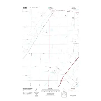
(20)- 2010 Map of Wrightstown, 2010 Print
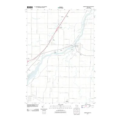 2010 Wrightstown2010 Print · USGSCovers Kaukauna, including Wrightstown, Holland, and other nearby areas
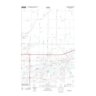
 - 2010 Map of Kaukauna, 2010 Print
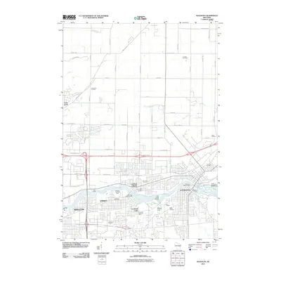 2010 Kaukauna2010 Print · USGSCovers Kaukauna, including Appleton, Grand Chute, and other nearby areas
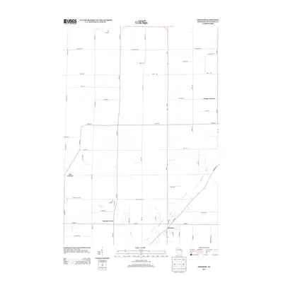
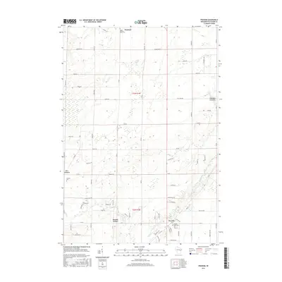
 - 2010 Map of Freedom, 2010 Print
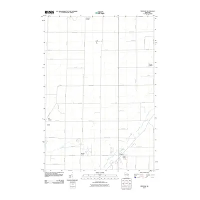 2010 Freedom2010 Print · USGSCovers Kaukauna, including Freedom, Seymour, and other nearby areas
 - 2010 Map of Oneida South, 2010 Print
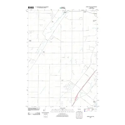 2010 Oneida South2010 Print · USGSCovers Kaukauna, including Green Bay, De Pere, and other nearby areas
 - 2013 Map of Oneida South, 2013 Print
 2013 Oneida South2013 Print · USGSCovers Kaukauna, including Green Bay, De Pere, and other nearby areas
 - 2013 Map of Freedom, 2013 Print
 2013 Freedom2013 Print · USGSCovers Kaukauna, including Freedom, Seymour, and other nearby areas
 - 2013 Map of Kaukauna, 2013 Print
 2013 Kaukauna2013 Print · USGSCovers Kaukauna, including Appleton, Grand Chute, and other nearby areas
 - 2013 Map of Wrightstown, 2013 Print
 2013 Wrightstown2013 Print · USGSCovers Kaukauna, including Wrightstown, Holland, and other nearby areas
 - 2016 Map of Freedom, 2016 Print
 2016 Freedom2016 Print · USGSCovers Kaukauna, including Freedom, Seymour, and other nearby areas
 - 2016 Map of Kaukauna, 2016 Print
 2016 Kaukauna2016 Print · USGSCovers Kaukauna, including Appleton, Grand Chute, and other nearby areas
 - 2016 Map of Oneida South, 2016 Print
 2016 Oneida South2016 Print · USGSCovers Kaukauna, including Green Bay, De Pere, and other nearby areas
 - 2016 Map of Wrightstown, 2016 Print
 2016 Wrightstown2016 Print · USGSCovers Kaukauna, including Wrightstown, Holland, and other nearby areas
 - 2018 Map of Freedom, 2018 Print
 2018 Freedom2018 Print · USGSCovers Kaukauna, including Freedom, Seymour, and other nearby areas
 - 2018 Map of Wrightstown, 2018 Print
 2018 Wrightstown2018 Print · USGSCovers Kaukauna, including Wrightstown, Holland, and other nearby areas
 - 2018 Map of Kaukauna, 2018 Print
 2018 Kaukauna2018 Print · USGSCovers Kaukauna, including Appleton, Grand Chute, and other nearby areas
 - 2018 Map of Oneida South, 2018 Print
 2018 Oneida South2018 Print · USGSCovers Kaukauna, including Green Bay, De Pere, and other nearby areas
 - 2022 Map of Freedom, 2022 Print
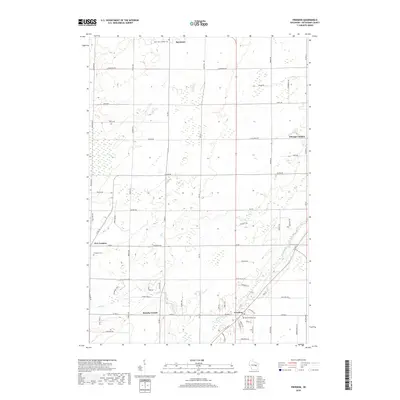
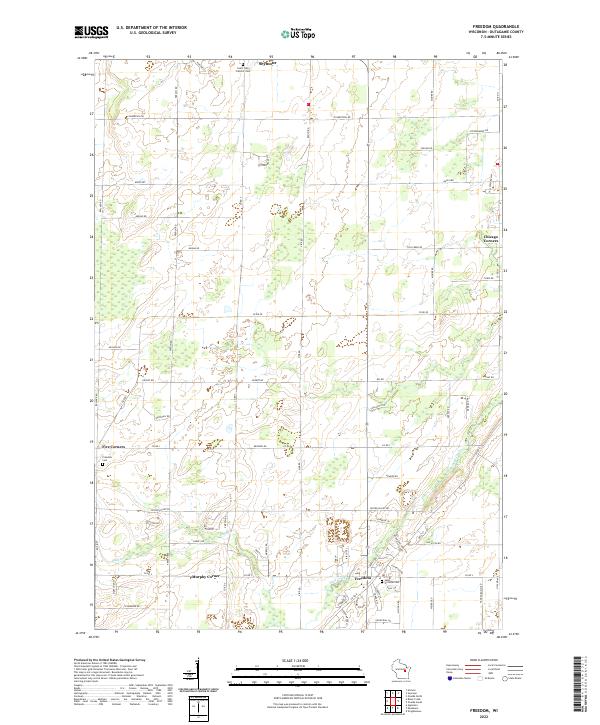 2022 Freedom2022 Print · USGSOutagamie County's rural heartland is documented here in the early twenty-first century, showing the enduring grid of crossroads and family lands. Genealogists can locate legacy sites like Saint John Catholic Cem and settlements at Five Corners and Murphy Corner.
 - 2022 Map of Kaukauna, 2022 Print
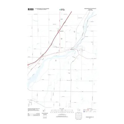
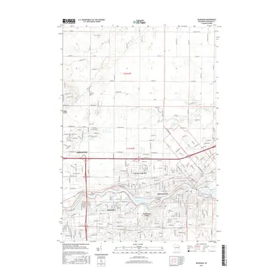
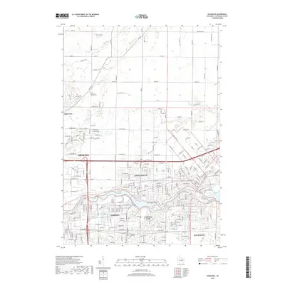
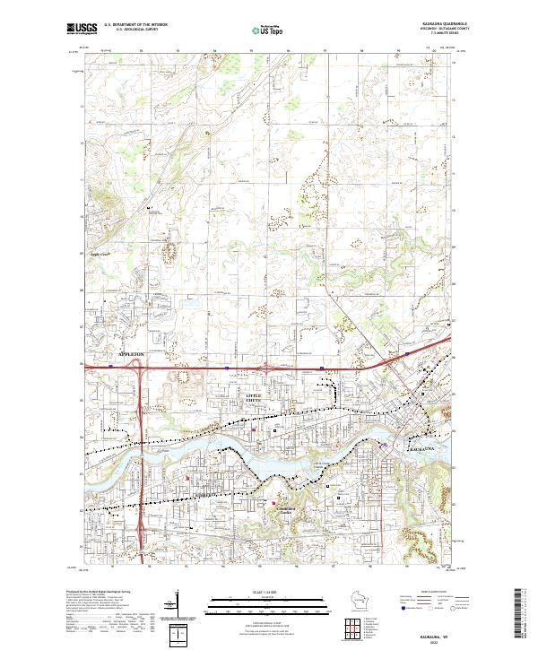 2022 Kaukauna2022 Print · USGSThe industrial corridor of the Fox River comes alive in this contemporary survey of the Paper Valley. Genealogists and local researchers can pinpoint family plots at Holy Cross Cem or Union Cem and trace the urban footprints of Kimberly and Kaukauna.
 - 2022 Map of Oneida South, 2022 Print
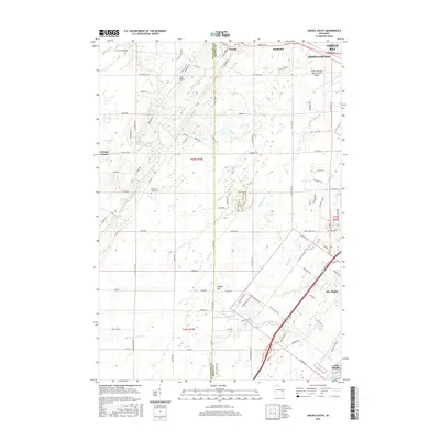
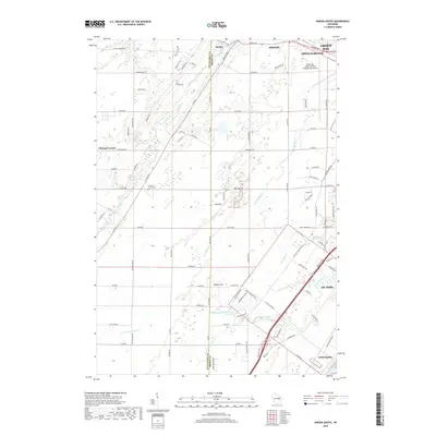
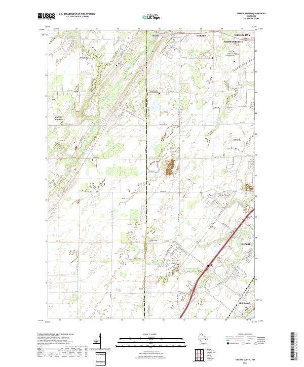 2022 Oneida South2022 Print · USGSGreater Green Bay and the Oneida Reservation are documented in this recent survey, showing the expansion of suburban and industrial infrastructure. Researchers can locate significant sites including the Oneida Sacred Burial Grounds, Saint Joseph Cemetery, and the historic crossing at Little Rapids on the Fox River.
 - 2022 Map of Wrightstown, 2022 Print
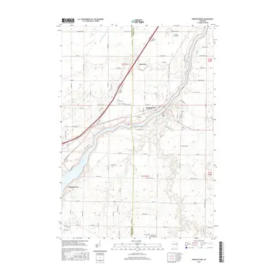
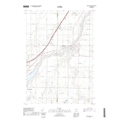
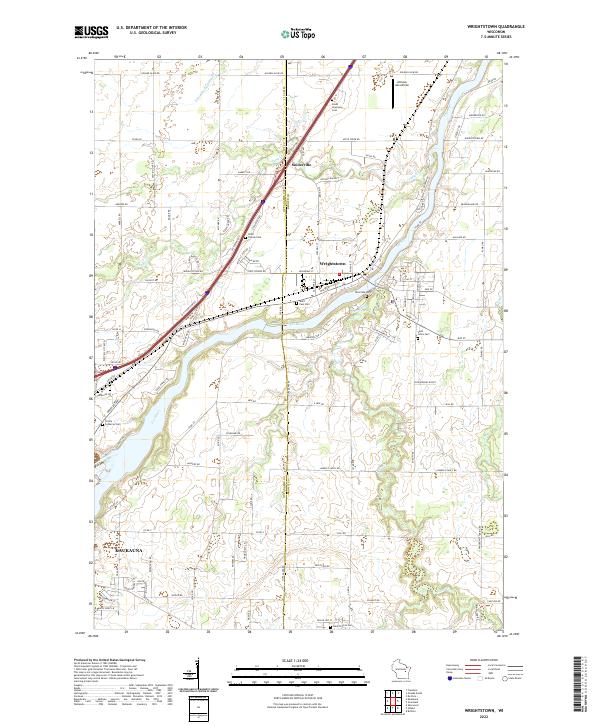 2022 Wrightstown2022 Print · USGSWrightstown and the Fox River Valley are captured here in the early 2020s, showing the enduring settlement patterns of this river-centered community. Researchers can locate numerous local burial grounds like Riverside Cem and Saint Johns Cem or trace rural landmarks like the Antique Aerodrome.
End of results
Showing maps 1-20 of 20
Top cities near Kaukauna
- Green Bay historical maps
- Appleton historical maps
- Neenah historical maps
- De Pere historical maps
- Grand Chute historical maps
- Fox Crossing historical maps
See more
Top neighborhoods of Kaukauna
Frequently asked questions
- What are the different types of historical maps available for Kaukauna?
- What is the oldest map of Kaukauna?
- Where can I purchase historical maps of Kaukauna for my home or office?
- Where can I download high-res historical maps of Kaukauna?
- Are there historical topographic maps available for Kaukauna?
- Is there historical aerial imagery available for Kaukauna?
- Where are historical maps of Kaukauna sourced from?