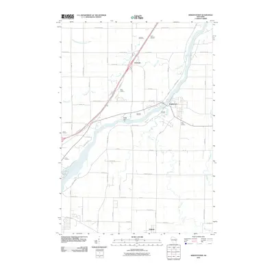
2010 Map of Wrightstown
USGS Topo · Published 2010About this map
The Fox River carves a northeast path through this section of Brown and Outagamie counties, serving as the central geographic axis for the village of Wrightstown. The landscape is defined by the intersection of water and infrastructure, anchored by the Rapids Croche Dam and several tributary systems including Plum Creek, Apple Creek, and the East River. The map reveals a dense network of country roads such as Garrity Rd and County Hwy-ZZ that connect small clusters of development like Sniderville to the north and Holland to the south.
Find a feature on this map
66 named features on this map. Tap any name to fly to it.
Don’t see what you’re looking for? This feature index may not catch every label — zoom into the map to look around manually.
Map Details
Editions of this 2010 Wrightstown Map
This is the sole edition of this map. No revisions or reprints were ever made.
Other maps of this area

1911 · Neenah
USGS Topo · 1:62,500

1954 · De Pere
USGS Topo · 1:62,500

1954 · De Pere
USGS Topo · 1:24,000

1954 · Chilton
USGS Topo · 1:62,500

1955 · Neenah
USGS Topo · 1:62,500

1955 · Appleton
USGS Topo · 1:62,500

1955 · Green Bay
USGS Topo · 1:250,000

1974 · Hilbert
USGS Topo · 1:24,000

1974 · Brillion
USGS Topo · 1:24,000

1974 · Kaukauna
USGS Topo · 1:24,000