2010s Maps of Price County, Wisconsin
Explore 120 historic maps of Price County from the 2010s. These maps offer a rare glimpse into what life looked like during the 2010s — showing old roads, neighborhoods, homes, and landmarks that have changed or disappeared over time.
Whether you're researching your family's past, planning a metal detecting trip, or studying how Price County's landscape evolved across the 2010s, these high-resolution maps are a powerful tool for exploring the history of this region.
- Focus on a specific era: All maps on this page are from the 2010s, giving you a focused view of this time period.
- See what’s changed: Compare century-old streets, trails, and buildings to today's modern landscape using overlays and satellite layers.
- Research with precision: Use these maps for genealogy, historical research, land use analysis, or educational projects.
- View, download, or print: Maps are fully viewable online in high resolution, and can be downloaded or printed for your own records.
Start exploring Price County's history through authentic maps from the 2010s. This is your window into the past.
Price County, WI maps
(120)- 2010 Map of Phillips, 2010 Print
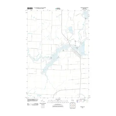 2010 Phillips2010 Print · USGSPhillips and its surrounding lake country are shown in high detail during the early twenty-first century. Researchers can trace local genealogy and land use through landmarks like Saint Patricks Cemetery, the Price County Airport, and the regulated waters of Solberg Lake.
 - 2010 Map of Lugerville, 2010 Print
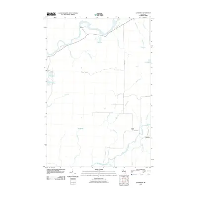 2010 Lugerville2010 Print · USGSPrice County woodlands and river systems are documented here in the early twenty-first century. Researchers can trace the local water-and-road network around Lugerville, including the Lugerville Lookout Tower and the Crowley WP381 Dam on the Flambeau River.
 - 2010 Map of Pennington, 2010 Print
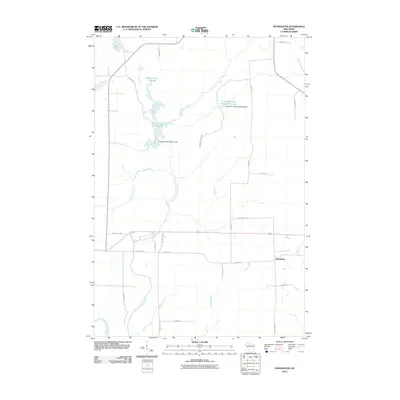 2010 Pennington2010 Print · USGSPrice County’s Northwoods landscape is captured here in the early twenty-first century, showing a region defined by river systems and timber lands. Researchers can locate the settlement of Pennington and trace water control structures like the Spring Creek 3WR213 Dam and Cranberry Creek Wildlife/Flowage.
 - 2010 Map of Prentice, 2010 Print
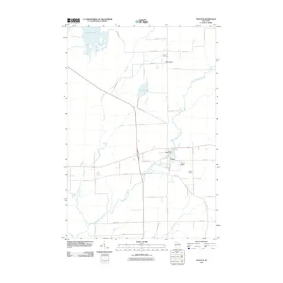 2010 Prentice2010 Print · USGSPrice County timberlands and river valleys define this northern Wisconsin area in the early twenty-first century. Researchers can trace local heritage at Hackett Cemetery, locate the Prentice 2WP234 Dam, and follow the path of the Pine Line Trl.
 - 2010 Map of Lac Sault Dore, 2010 Print
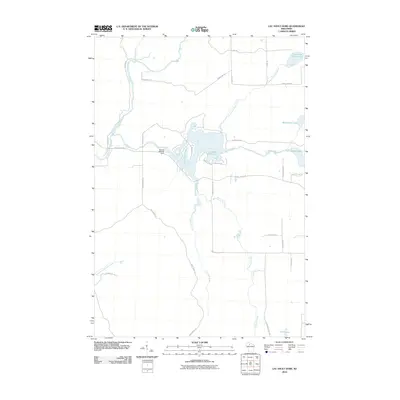 2010 Lac Sault Dore2010 Print · USGSPrice County’s river-fed landscapes are captured here during the first decade of the millennium, centered on the dammed waters of the Elk River. You can trace the complex shoreline of Lac Sault Dore 272 and locate remote landmarks like the Murray 2WP375 Dam or Mcllquham Lake.
 - 2010 Map of Brantwood, 2010 Print
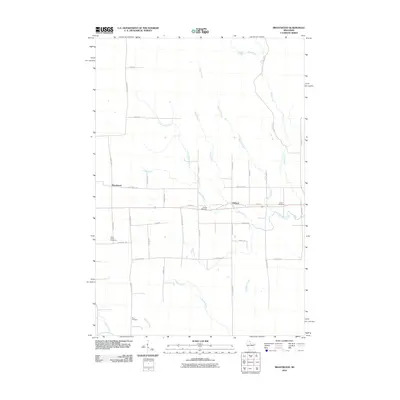 2010 Brantwood2010 Print · USGSNorthern Wisconsin's timber and farming country is detailed here during the early twenty-first century. Researchers can locate family homesteads near the Finnish Cemetery or trace the winding courses of the Somo River and Somo Creek.
 - 2010 Map of Spirit, 2010 Print
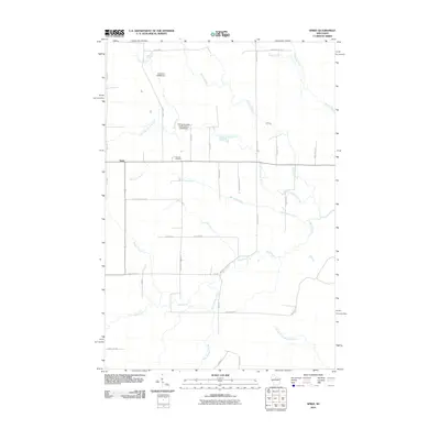 2010 Spirit2010 Print · USGSSpirit and its surrounding townships in Price County are shown here at the start of the twenty-first century. Genealogists and local historians can trace family locations near Hillcrest Cemetery or along historic routes like German Settlement Rd and Cheese Factory Rd.
 - 2010 Map of Park Falls, 2010 Print
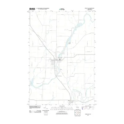 2010 Park Falls2010 Print · USGSPrice County's river-driven industry and Northwoods settlements are captured here during the early 21st century. Genealogists and local historians can trace family-named roads and landmarks from Park Falls and Lymantown to the Nola Cemetery and Cummings Dam.
 - 2010 Map of Oxbo, 2010 Print
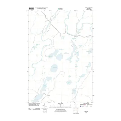 2010 Oxbo2010 Print · USGSSawyer County at the start of the twenty-first century remains a pristine landscape of glacial lakes and river bends. Researchers can locate remote landmarks like the Connors Lake Lookout Tower or trace the drainage of the Flambeau River through Deadman Slough.
 - 2010 Map of Timms Hill, 2010 Print
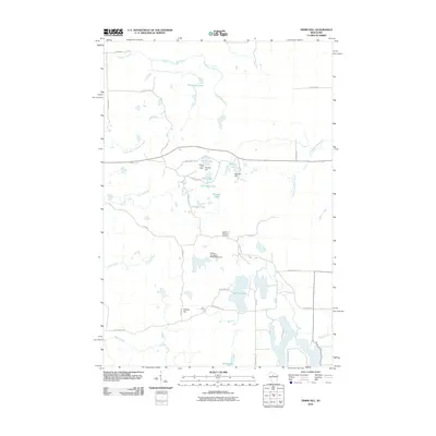 2010 Timms Hill2010 Print · USGSThis Taylor County landscape near Westboro centers on the state's highest point as it appeared in the early 21st century. Researchers can locate family landmarks like the Garden of Memory Cemetery or trace the drainage of Timms Lake and the Spirit River.
 - 2010 Map of Priest Lake, 2010 Print
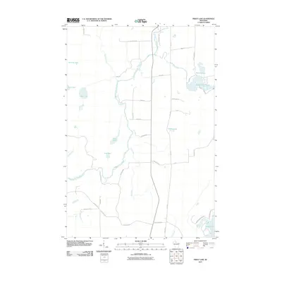 2010 Priest Lake2010 Print · USGSPrice County, Wisconsin, is documented here in the early 2000s as a landscape of interconnected waterways and timberlands. Local historians can trace family names and landmarks like Hicks Landing Rd and Sweeney Lake along the South Fork Flambeau River.
 - 2010 Map of Big Briens Lake, 2010 Print
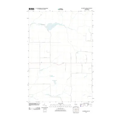 2010 Big Briens Lake2010 Print · USGSPrice County’s watery landscape is meticulously detailed in this early 21st-century survey, showcasing a quiet region of lakes and river bends. Researchers can trace the winding South Fork Jump River and locate family-named roads like Nyberg Hill Rd and Hannula Rd.
 - 2010 Map of Kennan NW, 2010 Print
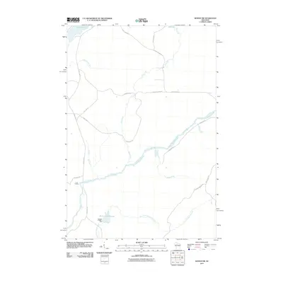 2010 Kennan NW2010 Print · USGSThe South Fork of the Flambeau River cuts through Rusk County at a time when managed flowages and remote camps defined the landscape. Local historians can trace water management at the Sobieski C14690.1 Dam or locate Camp Flambeau along the river banks.
 - 2010 Map of Butternut Lake, 2010 Print
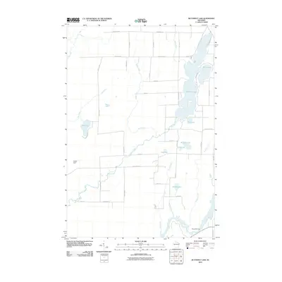 2010 Butternut Lake2010 Print · USGSAshland County's lake-filled backcountry is documented here during the early twenty-first century, showing the area's complex water system. Researchers can trace land access along County Hwy-B or locate landmarks like the Kennedy Lookout Tower and Pixley WP61 Dam.
 - 2010 Map of Hawkins, 2010 Print
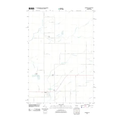 2010 Hawkins2010 Print · USGSHawkins and its surrounding Rusk County landscape are captured here in the early twenty-first century, showcasing a transition between village life and the northern woods. Researchers can trace local heritage through Saint Marys Cemetery, Hawkins Millpond, and the Diderrich Ranch Airport.
 - 2010 Map of Cranberry Lake, 2010 Print
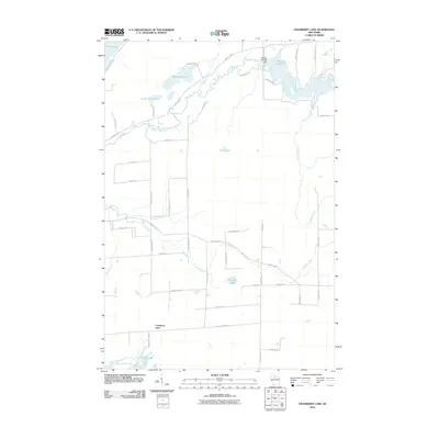 2010 Cranberry Lake2010 Print · USGSPrice County lake country is captured here during the first decade of the new millennium, showing a landscape shaped by the Elk River and its numerous glacial lakes. Researchers can trace local development around Musser Lake 83, the Musser 2WP235 Dam, and family-named routes near Big Dardis Lake.
 - 2010 Map of Kennan, 2010 Print
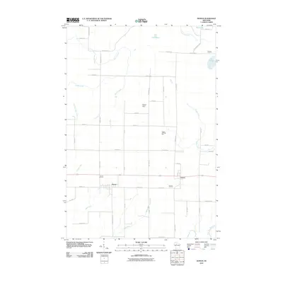 2010 Kennan2010 Print · USGSThe northern Wisconsin villages of Kennan and Catawba are documented here in 2010. Genealogists and historians can trace local family lineages through Harmony Cemetery, Kennan Cemetery, and landmarks like the Harmony Lookout Tower.
 - 2011 Map of Pike Lake SE, 2011 Print
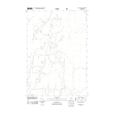 2011 Pike Lake SE2011 Print · USGSThe Northwoods of Wisconsin are captured here in the early twenty-first century, showing a landscape defined by forestry and freshwater drainage. Researchers can locate the Elk River Lookout Tower and trace the winding paths of Little Willow Creek and Squaw Creek.
 - 2011 Map of Jump River Fire Tower NW, 2011 Print
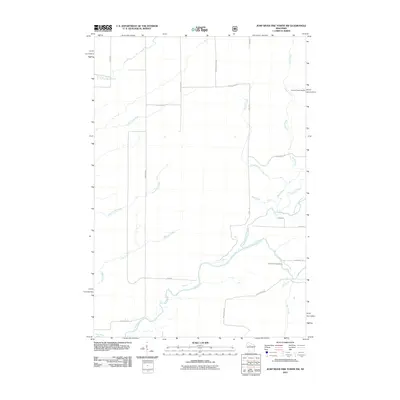 2011 Jump River Fire Tower NW2011 Print · USGSTaylor County’s river systems and timberlands are documented here in the early twenty-first century, showing a landscape shaped by the Jump River. Researchers can trace old forest access routes like Fire Ln or locate landmarks like Big Falls Campground and Lonely Pines Airport.
 - 2011 Map of Dover, 2011 Print
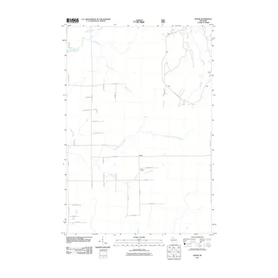 2011 Dover2011 Print · USGSPrice County in the early 2000s remains a landscape of managed forests and winding river valleys near the settlement of Dover. Genealogists and local historians can locate Emery Cemetery and trace the paths of the Elk River and North Branch Little Elk River.
 - 2011 Map of Jump River Fire Tower NE, 2011 Print
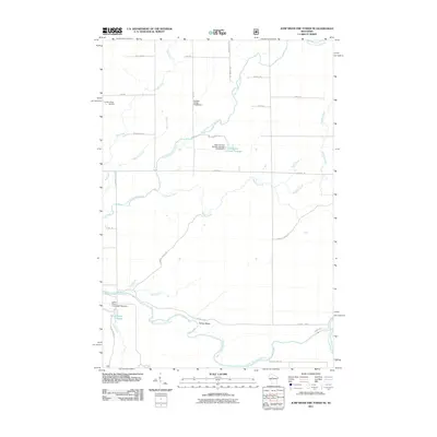 2011 Jump River Fire Tower NE2011 Print · USGSPrice County's river network and wildlife management are documented in detail at the turn of the twenty-first century. Researchers can trace local water infrastructure and landmarks like Lonely Pines Airport, the Yellow Banks, and the Town Corners Flowage.
 - 2011 Map of Pike Lake NW, 2011 Print
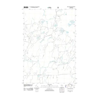 2011 Pike Lake NW2011 Print · USGSPrice County’s dense northwoods and glacial lake country are captured here in the early twenty-first century. Researchers can trace land and water management through features like the Robert Sells 3WR814 Dam and public spaces like Smith River Campground.
 - 2011 Map of Pike Lake SW, 2011 Print
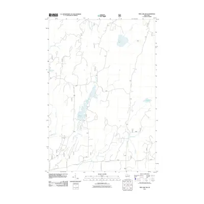 2011 Pike Lake SW2011 Print · USGSNorthern Wisconsin's river systems and timber access roads are well-documented here in the early twenty-first century. Researchers can trace the drainage of the Elk River and locate remote landmarks like Wilson Flowage and Riley Lake.
 - 2011 Map of Ogema, 2011 Print
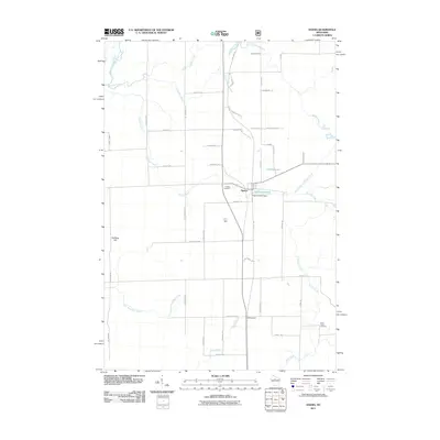 2011 Ogema2011 Print · USGSThe community of Ogema and its surrounding Northwoods timberlands are shown here in the early 21st century. Researchers can locate family landmarks like Hillside Cemetery, trace the Pine Line Trl, or identify sites near the Ogema Millpond.
 - 2011 Map of Gates Lake, 2011 Print
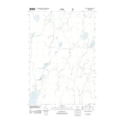 2011 Gates Lake2011 Print · USGSPrice County’s forest and wetland conservation efforts are on full display in this early 21st-century survey of the Fifield area. Researchers can trace the sophisticated water management at the Upper Squaw Creek Waterfowl Area or locate the settlement at Hicks Landing.
Showing maps 1-25 of 120
Top cities of Price County
- Park Falls historical maps
- Phillips historical maps
- Fifield historical maps
- Ogema historical maps
- Prentice historical maps
- Spirit historical maps
See more
Frequently asked questions
- What are the different types of historical maps available for Price County?
- What is the oldest map of Price County?
- Where can I purchase historical maps of Price County for my home or office?
- Where can I download high-res historical maps of Price County?
- Are there historical topographic maps available for Price County?
- Is there historical aerial imagery available for Price County?
- Where are historical maps of Price County sourced from?