Old Maps of Fifield, Wisconsin for Metal Detecting
Plan your next treasure hunt with 66 historic maps of Fifield. Find old homesites, ghost towns, trails, and gathering spots that may be lost to time — perfect for identifying promising metal detecting locations.
- Locate forgotten sites: Uncover places like long-lost settlements, abandoned rail lines, or gathering spots.
- Plan better hunts: Use map overlays combined with LiDAR or satellite views to narrow in on historically rich areas.
- Made for detectorists: Thousands of hobbyists use these maps to discover relics, coins, and hidden history.
Use these historic maps to boost your research and find new opportunities beneath the surface of Fifield.
Fifield, WI maps
(66)- 1941 Map of Park Falls, 1952 Print
 1941 Park Falls1952 Print · USGSPrice County in the early 1940s is shaped by the river-and-rail economy centered on Park Falls and Fifield. Researchers can trace old rural schoolhouses like Sugarbush Sch and forgotten rail stops at Coolidge and Lugerville.2 unique versions available
 - 1941 Map of Pike Lake, 1952 Print
 1941 Pike Lake1952 Print · USGSPrice County timberland and lake country are captured here at the end of the 1930s as the river-and-rail economy transitioned toward forest management. Genealogists and historians can locate the Riley Creek CCC Camp, the Shady Knoll Sch, and landmarks like the South Fork Fire Tower.3 unique versions available
 - 1942 Map of Pike Lake
 1942 Pike Lake1942 Print · USGSPrice County and the surrounding lake country are documented here in the early 1940s, showing a landscape shaped by timber and early recreation. Researchers can trace the Riley Creek CCC Camp, the Shady Knoll Sch, and landmarks like the South Fork Fire Tower.
 - 1943 Map of Park Falls
 1943 Park Falls1943 Print · USGSPrice County timber and river life are frozen in time during the early 1940s, showing the early development of Park Falls and Fifield. Genealogists and historians can trace dozens of rural schoolhouses like Divine Rapids Sch and old landmarks like the Fifield Fire Tower.
 - 1947 Map of Park Falls
 1947 Park Falls1947 Print · USGSThe Northwoods of Price County come alive in the 1940s, centered on the paper-milling hub of Park Falls and the Flambeau River. Genealogists and local historians can trace rural school districts like Sugarbush Sch or locate the site of the Fifield Fire Tower.
 - 1950 Map of Pike Lake
 1950 Pike Lake1950 Print · USGSNorthern Wisconsin's timber and lake country comes to life in the mid-century, showing a landscape shaped by conservation and seasonal recreation. Local historians can trace the locations of the Riley Creek CCC Camp, Shady Knoll Sch, and numerous family-named landmarks like Patterson Lake.
 - 1953 Map of Rice Lake, 1967 Print
 1953 Rice Lake1967 Print · USGSNorthwest Wisconsin during the mid-fifties reveals a landscape defined by timber, rail, and water. Genealogists and historians can trace the development of river towns like Ladysmith and Rice Lake along the Soo Line and Chicago and North Western railroads.2 unique versions available
 - 1959 Map of Rice Lake
 1959 Rice Lake1959 Print · USGSNorthwest Wisconsin in the late fifties was a land of expanding road networks and deep-seated timber history. Genealogists and historians can trace rail lines like the Soo Line RR and Chicago St Paul Minneapolis and Omaha Ry as they link settlements from Spooner to Medford.
 - 1968 Map of Park Falls, 1971 Print
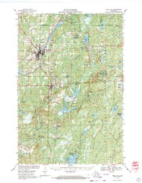 1968 Park Falls1971 Print · USGSPark Falls and Fifield sit at the heart of the northern timber country in the late sixties, where the Flambeau River meets a dense network of rail lines. Researchers can trace historic logging routes like the SMITH GRADE or locate local landmarks such as Nola Cem and Solberg Lake County Park.2 unique versions available
 - 1968 Map of Park Falls SE, 1985 Print
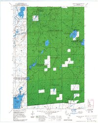 1968 Park Falls SE1985 Print · USGSPrice County, Wisconsin, in the late sixties reveals a landscape of extensive forest management and protected wetlands. Outdoorsmen and local historians can trace the development of the Sailor Lake Campground and the marshy expanses of the Schmuland Waterfowl Area.
 - 1968 Map of Park Falls NE, 1985 Print
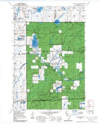 1968 Park Falls NE1985 Print · USGSThe Flambeau River wilderness in Price County is captured here in the late sixties, highlighting the deep integration of forestry and recreation. Researchers can trace the layout of the Wintergreen Ski Trails and find landmarks like Sugarbush Dam and Blockhouse Lake.
 - 1971 Map of Pike Lake SE, 1973 Print
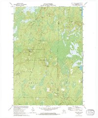 1971 Pike Lake SE1973 Print · USGSThe northern Wisconsin wilderness of Price and Oneida Counties is captured here in the early 1970s. Outdoor researchers and local historians can trace the headwaters of Foulds Creek and locate landmarks like the Lookout Tower and Steverson Spring.2 unique versions available
 - 1971 Map of Pike Lake SW, 1973 Print
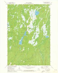 1971 Pike Lake SW1973 Print · USGSPrice County, Wisconsin, is shown here in the early 1970s, at a time when the Northwoods remained a dense expanse of timber and water. Outdoor researchers can trace the shorelines of Wilson Flowage and Riley Lake or locate early mineral sites like the local Gravel Pit.3 unique versions available
 - 1971 Map of Pike Lake, 1973 Print
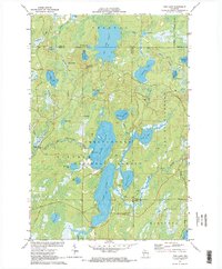 1971 Pike Lake1973 Print · USGSIn the early 1970s, the lake country at the junction of Price, Iron, and Vilas counties was a landscape of deep forests and interconnected waterways. Researchers can trace the Chippewa Trail, locate the Lookout Tower on Sentinel Point, and explore the shorelines of Round Lake and Pike Lake.
 - 1971 Map of Pike Lake NW, 1973 Print
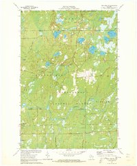 1971 Pike Lake NW1973 Print · USGSPrice and Iron counties appear here in the early seventies, dominated by the timberlands of the Chequamegon National Forest. Genealogists and outdoorsmen can trace the South Fork Flambeau River past Smith Rapids Campground and identify seasonal sites like Camp Nine Springs.3 unique versions available
 - 1980 Map of Park Falls
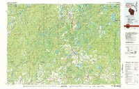 1980 Park Falls1980 Print · USGSNorthern Wisconsin's timber and rail corridor is meticulously detailed here in the early eighties. Researchers can trace the Soo Line through forest-bound towns like Park Falls, Phillips, and Lugerville while exploring the vast Chequamegon National Forest.
 - 1984 Map of Park Falls
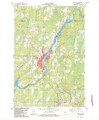 1984 Park Falls1984 Print · USGSPark Falls and the surrounding Northwoods landscape appear here during the mid-eighties, centered on the river's industrial power. Researchers can trace the Soo Line rail corridor, locate Nola Cem, and explore the settlement at Lymantown.
 - 1984 Map of Blockhouse Lake
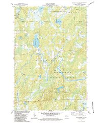 1984 Blockhouse Lake1984 Print · USGSNorthern Wisconsin's timberlands and river systems are shown in great detail during the 1980s. You can trace the winding South Fork Flambeau River past Sugarbush Dam and locate secluded camps near Blockhouse Lake and Iodine Lake.
 - 1984 Map of Priest Lake
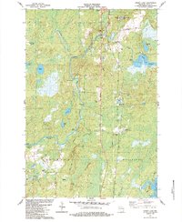 1984 Priest Lake1984 Print · USGSPrice County townships Fifield and Worcester are captured in the mid-1980s as the river-driven landscape continues its transition to a recreation-based economy. Genealogists and historians can trace family landmarks and remote sites like Holy Cross King of Martyrs Priory, Nutting No 2, and the portages at Rocky Carry Rapids.
 - 1984 Map of Gates Lake
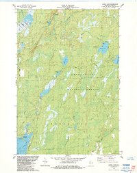 1984 Gates Lake1984 Print · USGSPrice County timberlands and glacial lakes are captured here in the mid-1980s as the national forest boundary encompasses a landscape of water and woods. Trace local landmarks like Hicks Landing, the Cranberry Bog, and Solberg Lake County Park.
 - 2005 Map of Pike Lake, 2006 Print
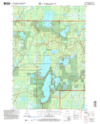 2005 Pike Lake2006 Print · USGSThe Price County woods and waters are revealed here as they appeared at the start of the millennium, centered on the Chequamegon-Nicolet National Forest. You can trace the historic Chippewa Trail or locate isolated landmarks like Memorial Grove and Ferry Springs.
 - 2005 Map of Pike Lake SW, 2006 Print
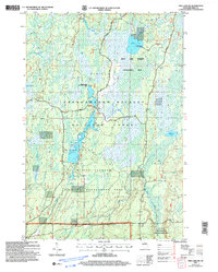 2005 Pike Lake SW2006 Print · USGSPrice County’s northern woods and wetlands come alive in the mid-2000s, centered on the protected waters of the Chequamegon-Nicolet. Trace the boundaries of the Wilson Flowage Wildlife Management Area or explore the remote banks of Riley Lake and the Elk River.
 - 2005 Map of Gates Lake, 2006 Print
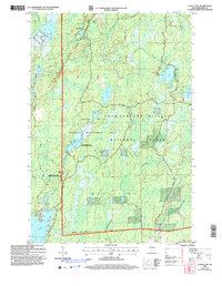 2005 Gates Lake2006 Print · USGSPrice County’s forested wetlands and lake systems are captured in detail during the early 2000s. Researchers can locate specific conservation boundaries and recreational sites like Hicks Landing, Sailor Lake, and the Cranberry Bog.
 - 2005 Map of Pike Lake SE, 2006 Print
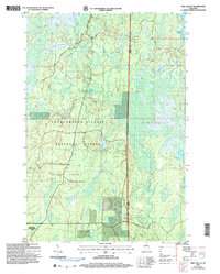 2005 Pike Lake SE2006 Print · USGSNorthern Wisconsin's deep woods and wetlands are preserved here in the mid-2000s, where Price and Oneida counties meet. Researchers can trace forest management boundaries like the Medford-Park Falls Ranger District and find secluded water sources like Sieverson Spring and Lake Sixteen.
 - 2005 Map of Blockhouse Lake, 2006 Print
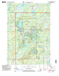 2005 Blockhouse Lake2006 Print · USGSWisconsin's Northwoods are captured here at the turn of the millennium, showing a landscape defined by managed wilderness and river drainage. You can trace the South Fork Flambeau River through its many rapids or locate quiet landings at Blockhouse Lake and Wintergreen Lake.
Showing maps 1-25 of 66
Top cities near Fifield
- Minocqua historical maps
- Lac du Flambeau historical maps
- Park Falls historical maps
- Mercer historical maps
- Phillips historical maps
- Butternut historical maps
Frequently asked questions
- What are the different types of historical maps available for Fifield?
- What is the oldest map of Fifield?
- Where can I purchase historical maps of Fifield for my home or office?
- Where can I download high-res historical maps of Fifield?
- Are there historical topographic maps available for Fifield?
- Is there historical aerial imagery available for Fifield?
- Where are historical maps of Fifield sourced from?