2000s (21st Century) Maps of Fifield, Wisconsin
Explore 46 historic maps of Fifield from the 2000s (21st Century). These maps offer a rare glimpse into what life looked like during the 2000s — showing old roads, neighborhoods, homes, and landmarks that have changed or disappeared over time.
Whether you're researching your family's past, planning a metal detecting trip, or studying how Fifield's landscape evolved across the 2000s, these high-resolution maps are a powerful tool for exploring the history of this region.
- Focus on a specific era: All maps on this page are from the 2000s, giving you a focused view of this time period.
- See what’s changed: Compare century-old streets, trails, and buildings to today's modern landscape using overlays and satellite layers.
- Research with precision: Use these maps for genealogy, historical research, land use analysis, or educational projects.
- View, download, or print: Maps are fully viewable online in high resolution, and can be downloaded or printed for your own records.
Start exploring Fifield's history through authentic maps from the 2000s. This is your window into the past.
Fifield, WI maps
(46)- 2005 Map of Pike Lake, 2006 Print
 2005 Pike Lake2006 Print · USGSThe Price County woods and waters are revealed here as they appeared at the start of the millennium, centered on the Chequamegon-Nicolet National Forest. You can trace the historic Chippewa Trail or locate isolated landmarks like Memorial Grove and Ferry Springs.
 - 2005 Map of Pike Lake SW, 2006 Print
 2005 Pike Lake SW2006 Print · USGSPrice County’s northern woods and wetlands come alive in the mid-2000s, centered on the protected waters of the Chequamegon-Nicolet. Trace the boundaries of the Wilson Flowage Wildlife Management Area or explore the remote banks of Riley Lake and the Elk River.
 - 2005 Map of Gates Lake, 2006 Print
 2005 Gates Lake2006 Print · USGSPrice County’s forested wetlands and lake systems are captured in detail during the early 2000s. Researchers can locate specific conservation boundaries and recreational sites like Hicks Landing, Sailor Lake, and the Cranberry Bog.
 - 2005 Map of Pike Lake SE, 2006 Print
 2005 Pike Lake SE2006 Print · USGSNorthern Wisconsin's deep woods and wetlands are preserved here in the mid-2000s, where Price and Oneida counties meet. Researchers can trace forest management boundaries like the Medford-Park Falls Ranger District and find secluded water sources like Sieverson Spring and Lake Sixteen.
 - 2005 Map of Blockhouse Lake, 2006 Print
 2005 Blockhouse Lake2006 Print · USGSWisconsin's Northwoods are captured here at the turn of the millennium, showing a landscape defined by managed wilderness and river drainage. You can trace the South Fork Flambeau River through its many rapids or locate quiet landings at Blockhouse Lake and Wintergreen Lake.
 - 2005 Map of Pike Lake NW, 2006 Print
 2005 Pike Lake NW2006 Print · USGSThe Northwoods of Price and Iron Counties are captured here in the early 2000s, showcasing a landscape of timber-era springs and river rapids. Trace local history at the Riley Creek Forest Work Camp or locate secluded landmarks like Newman Springs and Smith Rapids.
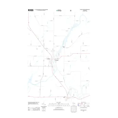
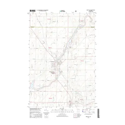
 - 2010 Map of Park Falls, 2010 Print
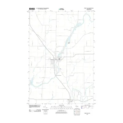 2010 Park Falls2010 Print · USGSCovers Fifield, including Park Falls, Lymantown, and other nearby areas
 - 2010 Map of Priest Lake, 2010 Print
 2010 Priest Lake2010 Print · USGSCovers Fifield, including Flambeau, Lake, and other nearby areas
 - 2011 Map of Pike Lake SE, 2011 Print
 2011 Pike Lake SE2011 Print · USGSCovers Fifield, including Minocqua, Emery, and other nearby areas
 - 2011 Map of Pike Lake NW, 2011 Print
 2011 Pike Lake NW2011 Print · USGSCovers Fifield, including Sherman, Eisenstein, and other nearby areas
 - 2011 Map of Pike Lake SW, 2011 Print
 2011 Pike Lake SW2011 Print · USGSCovers Fifield, including Emery, Worcester, and other nearby areas
 - 2011 Map of Gates Lake, 2011 Print
 2011 Gates Lake2011 Print · USGSCovers Fifield, including Worcester, Price County, and other nearby areas
 - 2011 Map of Pike Lake, 2011 Print
 2011 Pike Lake2011 Print · USGSCovers Fifield, including Minocqua, Lac du Flambeau, and other nearby areas
 - 2011 Map of Blockhouse Lake, 2011 Print
 2011 Blockhouse Lake2011 Print · USGSCovers Fifield, including Agenda, Sherman, and other nearby areas
 - 2013 Map of Pike Lake SE, 2013 Print
 2013 Pike Lake SE2013 Print · USGSCovers Fifield, including Minocqua, Emery, and other nearby areas
 - 2013 Map of Blockhouse Lake, 2013 Print
 2013 Blockhouse Lake2013 Print · USGSCovers Fifield, including Agenda, Sherman, and other nearby areas
 - 2013 Map of Priest Lake, 2013 Print
 2013 Priest Lake2013 Print · USGSCovers Fifield, including Flambeau, Lake, and other nearby areas
 - 2013 Map of Pike Lake SW, 2013 Print
 2013 Pike Lake SW2013 Print · USGSCovers Fifield, including Emery, Worcester, and other nearby areas
 - 2013 Map of Pike Lake NW, 2013 Print
 2013 Pike Lake NW2013 Print · USGSCovers Fifield, including Sherman, Eisenstein, and other nearby areas
 - 2013 Map of Gates Lake, 2013 Print
 2013 Gates Lake2013 Print · USGSCovers Fifield, including Worcester, Price County, and other nearby areas
 - 2013 Map of Pike Lake, 2013 Print
 2013 Pike Lake2013 Print · USGSCovers Fifield, including Minocqua, Lac du Flambeau, and other nearby areas
 - 2013 Map of Park Falls, 2013 Print
 2013 Park Falls2013 Print · USGSCovers Fifield, including Park Falls, Lymantown, and other nearby areas
 - 2015 Map of Blockhouse Lake, 2015 Print
 2015 Blockhouse Lake2015 Print · USGSCovers Fifield, including Agenda, Sherman, and other nearby areas
 - 2015 Map of Priest Lake, 2015 Print
 2015 Priest Lake2015 Print · USGSCovers Fifield, including Flambeau, Lake, and other nearby areas
 - 2015 Map of Park Falls, 2015 Print
 2015 Park Falls2015 Print · USGSCovers Fifield, including Park Falls, Lymantown, and other nearby areas
Showing maps 1-25 of 46
Top cities near Fifield
- Minocqua historical maps
- Lac du Flambeau historical maps
- Park Falls historical maps
- Mercer historical maps
- Phillips historical maps
- Butternut historical maps
Frequently asked questions
- What are the different types of historical maps available for Fifield?
- What is the oldest map of Fifield?
- Where can I purchase historical maps of Fifield for my home or office?
- Where can I download high-res historical maps of Fifield?
- Are there historical topographic maps available for Fifield?
- Is there historical aerial imagery available for Fifield?
- Where are historical maps of Fifield sourced from?