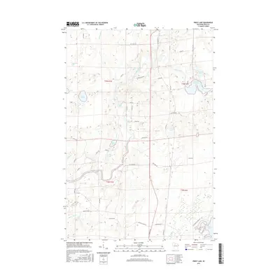
2015 Map of Priest Lake
USGS Topo · Published 2015About this map
The South Fork Flambeau River defines the aquatic character of this northern Wisconsin landscape, winding through a dense network of glacial lakes and wetlands. The river's course is punctuated by several significant whitewater stretches, including Simons Rapids, Priest Lake Rapids, and Rocky Carry Rapids, indicating a significant drop in elevation across the township.
Find a feature on this map
62 named features on this map. Tap any name to fly to it.
Don’t see what you’re looking for? This feature index may not catch every label — zoom into the map to look around manually.
Map Details
Editions of this 2015 Priest Lake Map
This is the sole edition of this map. No revisions or reprints were ever made.
Other maps of this area

1941 · Park Falls
USGS Topo · 1:48,000

1941 · Kennan
USGS Topo · 1:48,000

1941 · Kennedy
USGS Topo · 1:48,000

1941 · Phillips
USGS Topo · 1:48,000

1943 · Park Falls
USGS Topo · 1:48,000

1943 · Philliips
USGS Topo · 1:48,000

1945 · Kennedy
USGS Topo · 1:48,000

1945 · Kennan
USGS Topo · 1:48,000

1947 · Park Falls
USGS Topo · 1:48,000

1953 · Rice Lake
USGS Topo · 1:250,000