Old Maps of Lake, Wisconsin for Academic Research
Study the evolution of Lake with 46 high-resolution historic maps. Whether you're teaching, researching, or modeling changes in land use, these maps provide essential visual documentation of urban, environmental, and geographic change.
- Analyze long-term change: Track patterns in development, transportation, and natural features.
- Ideal for environmental or urban studies: Support academic projects with primary historical map data.
- Use in the classroom or lab: Educators and researchers rely on these maps to bring historical context to life.
These maps are a powerful tool for teaching, research, and visualizing how Lake has changed over the decades.
Lake, WI maps
(46)- 1941 Map of Park Falls, 1952 Print
 1941 Park Falls1952 Print · USGSPrice County in the early 1940s is shaped by the river-and-rail economy centered on Park Falls and Fifield. Researchers can trace old rural schoolhouses like Sugarbush Sch and forgotten rail stops at Coolidge and Lugerville.2 unique versions available
 - 1941 Map of Kennedy, 1959 Print
 1941 Kennedy1959 Print · USGSIn the early 1940s, this portion of Price and Sawyer counties was a landscape of timber management and rail-side settlements. Genealogists can locate rural schoolhouses like Poplar Hill Sch and trace industrial sites such as Pixley Dam or the Old Mill Dam.2 unique versions available
 - 1943 Map of Park Falls
 1943 Park Falls1943 Print · USGSPrice County timber and river life are frozen in time during the early 1940s, showing the early development of Park Falls and Fifield. Genealogists and historians can trace dozens of rural schoolhouses like Divine Rapids Sch and old landmarks like the Fifield Fire Tower.
 - 1945 Map of Kennedy
 1945 Kennedy1945 Print · USGSThe Wisconsin Northwoods come alive in the 1940s, showing a landscape of timber, rail, and remote settlements. Genealogists and local historians can trace rural schoolhouses like Arnold Sch and family landmarks near Lugerville and Kaiser.2 unique versions available
 - 1947 Map of Park Falls
 1947 Park Falls1947 Print · USGSThe Northwoods of Price County come alive in the 1940s, centered on the paper-milling hub of Park Falls and the Flambeau River. Genealogists and local historians can trace rural school districts like Sugarbush Sch or locate the site of the Fifield Fire Tower.
 - 1953 Map of Rice Lake, 1967 Print
 1953 Rice Lake1967 Print · USGSNorthwest Wisconsin during the mid-fifties reveals a landscape defined by timber, rail, and water. Genealogists and historians can trace the development of river towns like Ladysmith and Rice Lake along the Soo Line and Chicago and North Western railroads.2 unique versions available
 - 1959 Map of Rice Lake
 1959 Rice Lake1959 Print · USGSNorthwest Wisconsin in the late fifties was a land of expanding road networks and deep-seated timber history. Genealogists and historians can trace rail lines like the Soo Line RR and Chicago St Paul Minneapolis and Omaha Ry as they link settlements from Spooner to Medford.
 - 1968 Map of Park Falls, 1971 Print
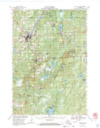 1968 Park Falls1971 Print · USGSPark Falls and Fifield sit at the heart of the northern timber country in the late sixties, where the Flambeau River meets a dense network of rail lines. Researchers can trace historic logging routes like the SMITH GRADE or locate local landmarks such as Nola Cem and Solberg Lake County Park.2 unique versions available
 - 1970 Map of Butternut Lake, 1972 Print
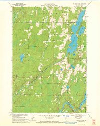 1970 Butternut Lake1972 Print · USGSThe Price County timberlands and lakefronts are frozen in time just as the seventies began. Researchers can trace the Chicago and North Western rail route or locate local landmarks like the Kennedy Lookout Tower and Pixley Dam.
 - 1970 Map of Oxbo, 1972 Print
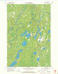 1970 Oxbo1972 Print · USGSThe Flambeau River country comes alive in this 1970s record of Sawyer and Price counties. Trace the river's path past Barnaby Rapids and Oxbo, or locate mid-century landmarks like the Connors Lake Lookout Tower and Mason Lake Landing Field.2 unique versions available
 - 1970 Map of Lugerville, 1972 Print
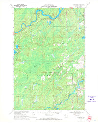 1970 Lugerville1972 Print · USGSPrice County’s timber and river country is captured here during the early seventies, showing a landscape defined by conservation and industrial water power. Researchers can locate the Lugerville Lookout Tower, a Railroad Grade, and Niebauer Springs among the vast wetlands of the Million Acre Swamp.2 unique versions available
 - 1970 Map of Kennedy, 1972 Print
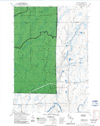 1970 Kennedy1972 Print · USGSSawyer and Ashland counties are shown in the early 1970s as centers of Wisconsin timber and recreation. Researchers can locate the settlement of Kennedy, follow the Tuscobia State Forest Trail, and trace the shoreline of Lake Alice.3 unique versions available
 - 1980 Map of Park Falls
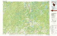 1980 Park Falls1980 Print · USGSNorthern Wisconsin's timber and rail corridor is meticulously detailed here in the early eighties. Researchers can trace the Soo Line through forest-bound towns like Park Falls, Phillips, and Lugerville while exploring the vast Chequamegon National Forest.
 - 1984 Map of Park Falls
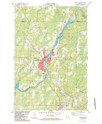 1984 Park Falls1984 Print · USGSPark Falls and the surrounding Northwoods landscape appear here during the mid-eighties, centered on the river's industrial power. Researchers can trace the Soo Line rail corridor, locate Nola Cem, and explore the settlement at Lymantown.
 - 1984 Map of Priest Lake
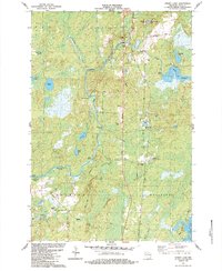 1984 Priest Lake1984 Print · USGSPrice County townships Fifield and Worcester are captured in the mid-1980s as the river-driven landscape continues its transition to a recreation-based economy. Genealogists and historians can trace family landmarks and remote sites like Holy Cross King of Martyrs Priory, Nutting No 2, and the portages at Rocky Carry Rapids.
 - 2005 Map of Kennedy, 2006 Print
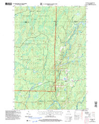 2005 Kennedy2006 Print · USGSNorthern Wisconsin's deep woods and glacial lakes are mapped here in the early twenty-first century. Genealogists and researchers can trace the settlement of Kennedy and the remote forest roads near Lake Alice and Oxbo Lake.
 - 2010 Map of Lugerville, 2010 Print
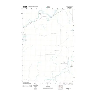 2010 Lugerville2010 Print · USGSPrice County woodlands and river systems are documented here in the early twenty-first century. Researchers can trace the local water-and-road network around Lugerville, including the Lugerville Lookout Tower and the Crowley WP381 Dam on the Flambeau River.
 - 2010 Map of Park Falls, 2010 Print
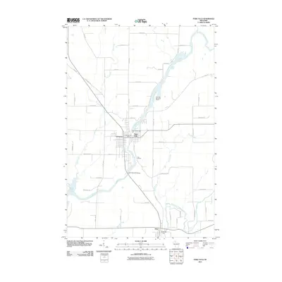 2010 Park Falls2010 Print · USGSPrice County's river-driven industry and Northwoods settlements are captured here during the early 21st century. Genealogists and local historians can trace family-named roads and landmarks from Park Falls and Lymantown to the Nola Cemetery and Cummings Dam.
 - 2010 Map of Oxbo, 2010 Print
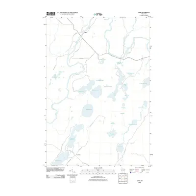 2010 Oxbo2010 Print · USGSSawyer County at the start of the twenty-first century remains a pristine landscape of glacial lakes and river bends. Researchers can locate remote landmarks like the Connors Lake Lookout Tower or trace the drainage of the Flambeau River through Deadman Slough.
 - 2010 Map of Priest Lake, 2010 Print
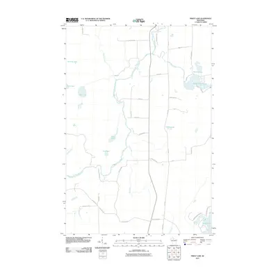 2010 Priest Lake2010 Print · USGSPrice County, Wisconsin, is documented here in the early 2000s as a landscape of interconnected waterways and timberlands. Local historians can trace family names and landmarks like Hicks Landing Rd and Sweeney Lake along the South Fork Flambeau River.
 - 2010 Map of Butternut Lake, 2010 Print
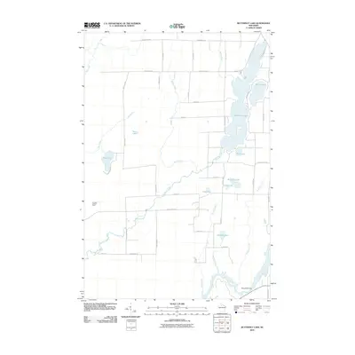 2010 Butternut Lake2010 Print · USGSAshland County's lake-filled backcountry is documented here during the early twenty-first century, showing the area's complex water system. Researchers can trace land access along County Hwy-B or locate landmarks like the Kennedy Lookout Tower and Pixley WP61 Dam.
 - 2011 Map of Kennedy, 2011 Print
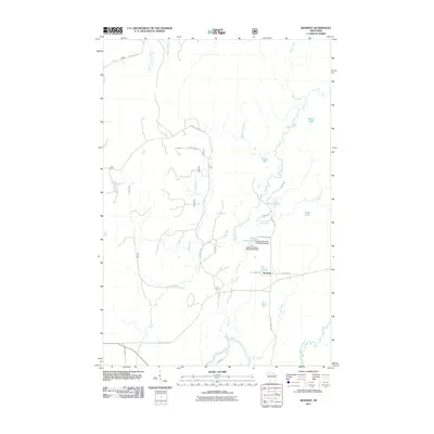 2011 Kennedy2011 Print · USGSThe settlement of Kennedy is captured here amidst a complex network of glacial lakes and forest roads in northern Wisconsin. Researchers can trace local water management at the Kemp Reservoirs and explore the winding path of the Flambeau River.
 - 2013 Map of Lugerville, 2013 Print
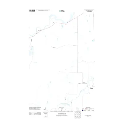 2013 Lugerville2013 Print · USGSPrice County woodlands and waters define this northern Wisconsin landscape in the early twenty-first century. Researchers can locate the settlement of Lugerville, trace the path of the South Fork Flambeau River, and find Niebauer Springs or the Lugerville Lookout Tower.
 - 2013 Map of Priest Lake, 2013 Print
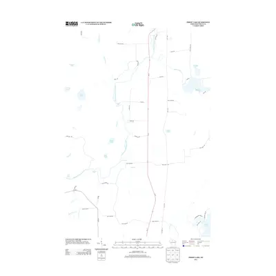 2013 Priest Lake2013 Print · USGSPrice County’s forested interior is documented here in the early twenty-first century, centered on the whitewater of the South Fork Flambeau River. Map collectors can trace the rapids at Simons Rapids and locate family-named landmarks like Axels Lake and Davis Lake.
 - 2013 Map of Butternut Lake, 2013 Print
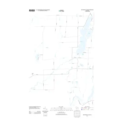 2013 Butternut Lake2013 Print · USGSNorthern Wisconsin's lake country is captured here during the early twenty-first century, showcasing a landscape defined by deep woods and glacial waters. Genealogists and local historians can trace family-named routes and landmarks like Weinberger Rd, Schnur Lake, and the Kennedy Lookout Tower.
Showing maps 1-25 of 46
Top cities near Lake
- Park Falls historical maps
- Phillips historical maps
- Fifield historical maps
- Butternut historical maps
- Draper historical maps
- Shanagolden historical maps
Top neighborhoods of Lake
Frequently asked questions
- What are the different types of historical maps available for Lake?
- What is the oldest map of Lake?
- Where can I purchase historical maps of Lake for my home or office?
- Where can I download high-res historical maps of Lake?
- Are there historical topographic maps available for Lake?
- Is there historical aerial imagery available for Lake?
- Where are historical maps of Lake sourced from?