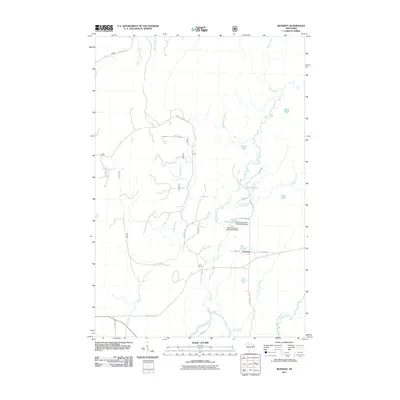
2011 Map of Kennedy
USGS Topo · Published 2011About this map
Kennedy sits at the heart of this Northwoods landscape, where a network of forest roads and waterways defines the local geography. The area is characterized by a high density of named water features, including Round Lake, Lake Annie, and Lake Alice, which are interconnected by a web of drainage like Pine Creek and Log Creek. Man-made hydrology is evident in the presence of the Reservoir E A Kemp Number 1 and E A Kemp Number 2, indicating specific water management or private impoundments in the region. The southern portion of the map is anchored by the Flambeau River, a major artery fed by smaller tributaries like Rock Creek and Butternut Creek. This landscape is primarily accessed via forest infrastructure such as Forest Rd 161 and County Hwy EE, reflecting a region geared toward timber management and remote recreation.
Find a feature on this map
27 named features on this map. Tap any name to fly to it.
Don’t see what you’re looking for? This feature index may not catch every label — zoom into the map to look around manually.
Map Details
Editions of this 2011 Kennedy Map
This is the sole edition of this map. No revisions or reprints were ever made.
Other maps of this area

1941 · Kennedy
USGS Topo · 1:48,000

1942 · Glidden
USGS Topo · 1:48,000

1942 · Clam Lake
USGS Topo · 1:48,000

1944 · Draper
USGS Topo · 1:48,000

1945 · Kennedy
USGS Topo · 1:48,000

1945 · Clam Lake
USGS Topo · 1:48,000

1945 · Glidden
USGS Topo · 1:48,000

1947 · Draper
USGS Topo · 1:48,000

1953 · Ashland
USGS Topo · 1:250,000

1953 · Rice Lake
USGS Topo · 1:250,000