2000s (21st Century) Maps of Draper, Wisconsin
Explore 33 historic maps of Draper from the 2000s (21st Century). These maps offer a rare glimpse into what life looked like during the 2000s — showing old roads, neighborhoods, homes, and landmarks that have changed or disappeared over time.
Whether you're researching your family's past, planning a metal detecting trip, or studying how Draper's landscape evolved across the 2000s, these high-resolution maps are a powerful tool for exploring the history of this region.
- Focus on a specific era: All maps on this page are from the 2000s, giving you a focused view of this time period.
- See what’s changed: Compare century-old streets, trails, and buildings to today's modern landscape using overlays and satellite layers.
- Research with precision: Use these maps for genealogy, historical research, land use analysis, or educational projects.
- View, download, or print: Maps are fully viewable online in high resolution, and can be downloaded or printed for your own records.
Start exploring Draper's history through authentic maps from the 2000s. This is your window into the past.
Draper, WI maps
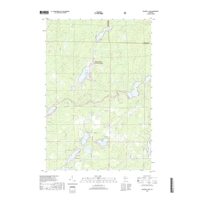
(33)- 2005 Map of Blaisdell Lake, 2006 Print
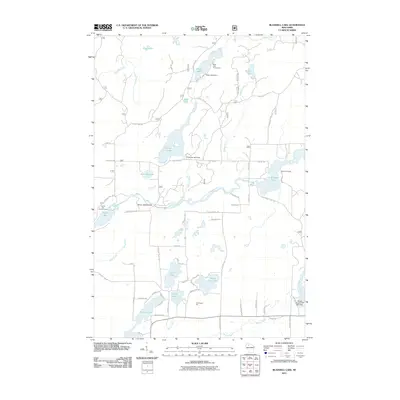
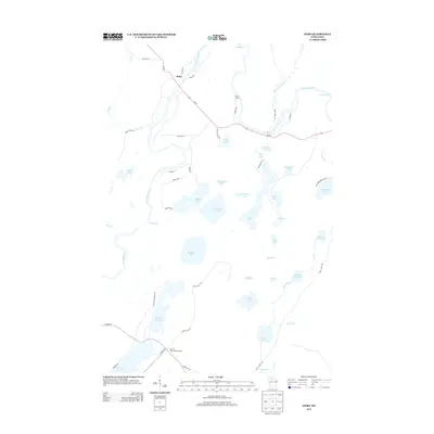
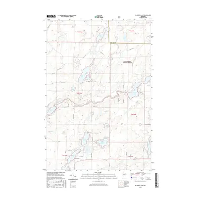
 2005 Blaisdell Lake2006 Print · USGSThe Northwoods of Sawyer County come into focus during the mid-2000s, showcasing a landscape of glacial lakes managed within the Chequamegon-Nicolet National Forest. Trace local history at Glenwood Camp, the Power Plant, and old landings on Blaisdell Lake and Loretta Lake.
 - 2005 Map of Kennedy, 2006 Print
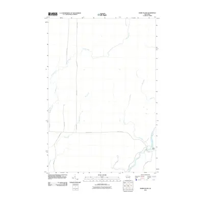
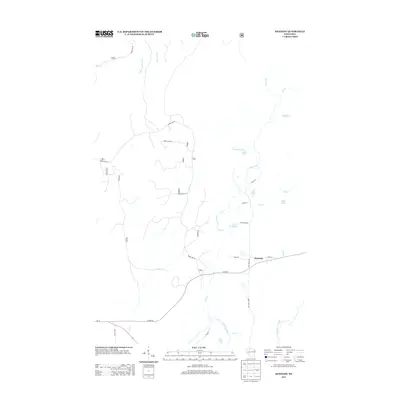
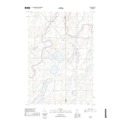
 2005 Kennedy2006 Print · USGSNorthern Wisconsin's deep woods and glacial lakes are mapped here in the early twenty-first century. Genealogists and researchers can trace the settlement of Kennedy and the remote forest roads near Lake Alice and Oxbo Lake.
 - 2005 Map of Loretta, 2006 Print
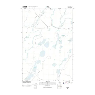
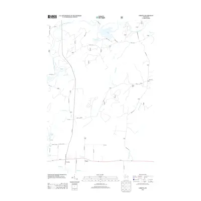
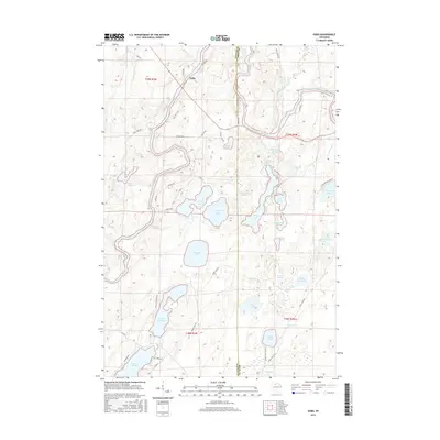
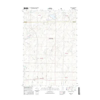
 2005 Loretta2006 Print · USGSNorthern Wisconsin's timber and recreation lands are captured here in the early 2000s. Genealogists and local historians can trace the town layouts of Loretta and Draper or locate the local Cem and Ranger Station along the historic Tuscobia Trail.
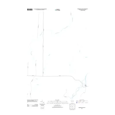
 - 2010 Map of Babbs Island, 2010 Print
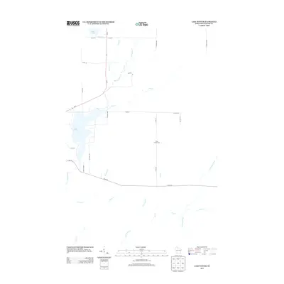
 2010 Babbs Island2010 Print · USGSCovers Draper, including Winter, Sawyer County, and other nearby areas
 - 2010 Map of Oxbo, 2010 Print
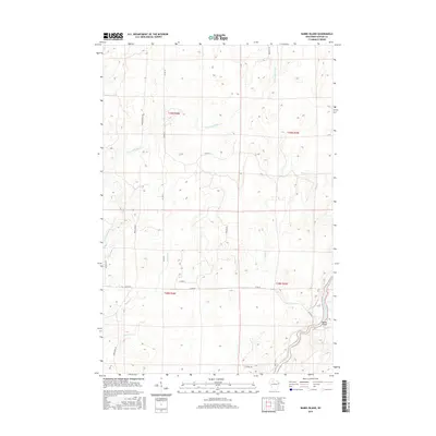
 2010 Oxbo2010 Print · USGSCovers Draper, including Oxbo, Winter, and other nearby areas
 - 2010 Map of Lake Winter, 2010 Print
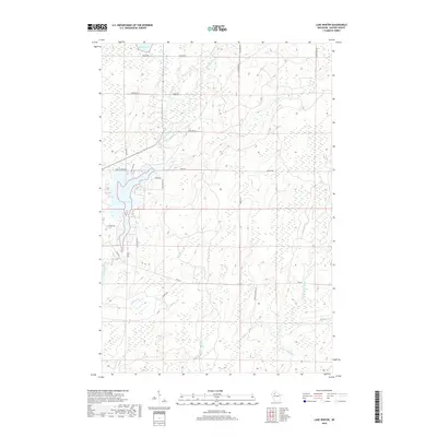
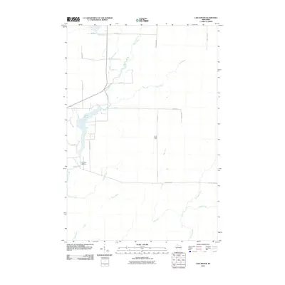 2010 Lake Winter2010 Print · USGSCovers Draper, including Winter, Sawyer County, and other nearby areas
 - 2011 Map of Kennedy, 2011 Print
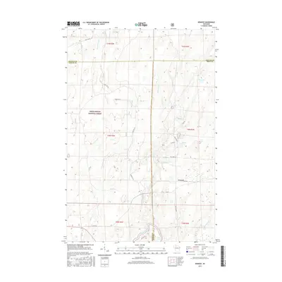
 2011 Kennedy2011 Print · USGSCovers Draper, including Kennedy, Chippewa, and other nearby areas
 - 2011 Map of Blaisdell Lake, 2011 Print
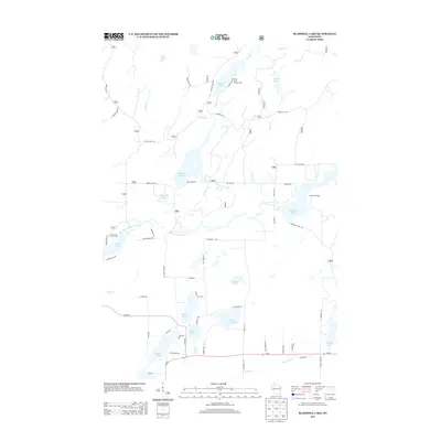
 2011 Blaisdell Lake2011 Print · USGSCovers Draper, including Winter, Chippewa, and other nearby areas
 - 2011 Map of Loretta, 2011 Print
 2011 Loretta2011 Print · USGSCovers Draper, including Loretta, Chippewa, and other nearby areas
 - 2013 Map of Loretta, 2013 Print
 2013 Loretta2013 Print · USGSCovers Draper, including Loretta, Chippewa, and other nearby areas
 - 2013 Map of Babbs Island, 2013 Print
 2013 Babbs Island2013 Print · USGSCovers Draper, including Winter, Sawyer County, and other nearby areas
 - 2013 Map of Kennedy, 2013 Print
 2013 Kennedy2013 Print · USGSCovers Draper, including Kennedy, Chippewa, and other nearby areas
 - 2013 Map of Oxbo, 2013 Print
 2013 Oxbo2013 Print · USGSCovers Draper, including Oxbo, Winter, and other nearby areas
 - 2013 Map of Lake Winter, 2013 Print
 2013 Lake Winter2013 Print · USGSCovers Draper, including Winter, Sawyer County, and other nearby areas
 - 2013 Map of Blaisdell Lake, 2013 Print
 2013 Blaisdell Lake2013 Print · USGSCovers Draper, including Winter, Chippewa, and other nearby areas
 - 2015 Map of Kennedy, 2015 Print
 2015 Kennedy2015 Print · USGSCovers Draper, including Kennedy, Chippewa, and other nearby areas
 - 2015 Map of Oxbo, 2015 Print
 2015 Oxbo2015 Print · USGSCovers Draper, including Oxbo, Winter, and other nearby areas
 - 2015 Map of Lake Winter, 2015 Print
 2015 Lake Winter2015 Print · USGSCovers Draper, including Winter, Sawyer County, and other nearby areas
 - 2015 Map of Babbs Island, 2015 Print
 2015 Babbs Island2015 Print · USGSCovers Draper, including Winter, Sawyer County, and other nearby areas
 - 2015 Map of Loretta, 2015 Print
 2015 Loretta2015 Print · USGSCovers Draper, including Loretta, Chippewa, and other nearby areas
 - 2015 Map of Blaisdell Lake, 2015 Print
 2015 Blaisdell Lake2015 Print · USGSCovers Draper, including Winter, Chippewa, and other nearby areas
 - 2018 Map of Blaisdell Lake, 2018 Print
 2018 Blaisdell Lake2018 Print · USGSCovers Draper, including Winter, Chippewa, and other nearby areas
 - 2018 Map of Oxbo, 2018 Print
 2018 Oxbo2018 Print · USGSCovers Draper, including Oxbo, Winter, and other nearby areas
 - 2018 Map of Kennedy, 2018 Print
 2018 Kennedy2018 Print · USGSCovers Draper, including Kennedy, Chippewa, and other nearby areas
 - 2018 Map of Lake Winter, 2018 Print
 2018 Lake Winter2018 Print · USGSCovers Draper, including Winter, Sawyer County, and other nearby areas
Showing maps 1-25 of 33
Top cities near Draper
Top neighborhoods of Draper
Frequently asked questions
- What are the different types of historical maps available for Draper?
- What is the oldest map of Draper?
- Where can I purchase historical maps of Draper for my home or office?
- Where can I download high-res historical maps of Draper?
- Are there historical topographic maps available for Draper?
- Is there historical aerial imagery available for Draper?
- Where are historical maps of Draper sourced from?