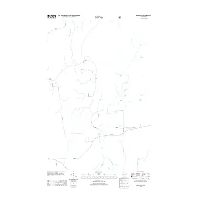
2013 Map of Kennedy
USGS Topo · Published 2013About this map
Kennedy stands as the primary settlement on this Northwoods landscape, situated where Co Hwy-E meets the local road network. The geography is defined by a complex drainage system flowing toward the southern border, where the Flambeau River passes near Oxbo Lake and Butternut Creek. Forested lands are crisscrossed by numerous forest roads, including Forest Rd 161 and Forest Rd 307, which provide access to a series of glacial lakes and small waterways. These features, such as Round Lake, Lake Annie, and Lake Alice, illustrate the wetland character of the Sawyer County interior. The presence of a small Reservoir on Pine Creek suggests local water management for this timber-rich region. To the south, Wi-70 and Old Hwy 70 run parallel, indicating the evolution of the primary east-west transportation corridor through the Wisconsin woods.
Find a feature on this map
33 named features on this map. Tap any name to fly to it.
Don’t see what you’re looking for? This feature index may not catch every label — zoom into the map to look around manually.
Map Details
Editions of this 2013 Kennedy Map
This is the sole edition of this map. No revisions or reprints were ever made.
Other maps of this area

1941 · Kennedy
USGS Topo · 1:48,000

1942 · Glidden
USGS Topo · 1:48,000

1942 · Clam Lake
USGS Topo · 1:48,000

1944 · Draper
USGS Topo · 1:48,000

1945 · Kennedy
USGS Topo · 1:48,000

1945 · Clam Lake
USGS Topo · 1:48,000

1945 · Glidden
USGS Topo · 1:48,000

1947 · Draper
USGS Topo · 1:48,000

1953 · Ashland
USGS Topo · 1:250,000

1953 · Rice Lake
USGS Topo · 1:250,000