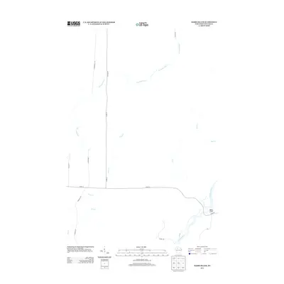
2013 Map of Babbs Island
USGS Topo · Published 2013About this map
The confluence of Northwoods waterways defines this landscape in Sawyer County, where the Flambeau River and Thornapple River carve through a heavily forested region. At the southeastern corner, Babbs Island sits as a prominent landform within the Flambeau, serving as a primary landmark for this sparsely settled territory. The area is characterized by an intricate drainage network including Beaver Cr, Boss Cr, and Long Cr, which flow through the timberlands.
Find a feature on this map
19 named features on this map. Tap any name to fly to it.
Don’t see what you’re looking for? This feature index may not catch every label — zoom into the map to look around manually.
Map Details
Editions of this 2013 Babbs Island Map
This is the sole edition of this map. No revisions or reprints were ever made.
Other maps of this area

1941 · Kennan
USGS Topo · 1:48,000

1941 · Kennedy
USGS Topo · 1:48,000

1944 · Draper
USGS Topo · 1:48,000

1945 · Kennedy
USGS Topo · 1:48,000

1945 · Kennan
USGS Topo · 1:48,000

1945 · Ingram
USGS Topo · 1:48,000

1947 · Ingram
USGS Topo · 1:48,000

1947 · Draper
USGS Topo · 1:48,000

1953 · Rice Lake
USGS Topo · 1:250,000

1959 · Rice Lake
USGS Topo · 1:250,000