Old Maps of Sawyer County, Wisconsin
Explore 84 old maps of Sawyer County, spanning from 1941 to today. These high-resolution historic maps reveal how streets, neighborhoods, landmarks, and natural features evolved over time — perfect for genealogy, metal detecting, research, and local history exploration.
What you can do with these maps:
- See how Sawyer County changed over time: Compare historical maps to modern-day views to trace roads, homesites, rail lines & more.
- View detailed metadata: Each map includes creators, publishers, year, scale, and archive source.
- Overlay maps with satellite & LiDAR: Visualize the past alongside modern tools to explore terrain & human change.
- Trusted historical sources: Maps sourced from the USGS, Library of Congress, and other archives.
- Access maps your way: View online, download high-res files, or order prints for personal or research use.
Start exploring old maps of Sawyer County to uncover forgotten places, hidden landmarks, and the deep history beneath your feet.
Sawyer County, WI maps
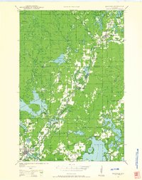
(84)- 1941 Map of Kennan, 1952 Print
 1941 Kennan1952 Print · USGSCovers Sawyer County, including Hawkins, Kennan, and other nearby areas2 unique versions available
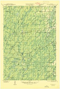
 - 1941 Map of Kennedy, 1959 Print
 1941 Kennedy1959 Print · USGSCovers Sawyer County, including Draper, Winter, and other nearby areas2 unique versions available
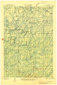
 - 1942 Map of Clam Lake, 1959 Print
 1942 Clam Lake1959 Print · USGSCovers Sawyer County, including Shanagolden, Round Lake, and other nearby areas2 unique versions available
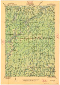
 - 1943 Map of Namekagon Lake, 1960 Print
 1943 Namekagon Lake1960 Print · USGSCovers Sawyer County, including Cable, Drummond, and other nearby areas2 unique versions available
 - 1944 Map of Exeland, 1952 Print
 1944 Exeland1952 Print · USGSCovers Sawyer County, including Thornapple, Weirgor, and other nearby areas2 unique versions available
 - 1944 Map of Draper, 1952 Print
 1944 Draper1952 Print · USGSCovers Sawyer County, including Draper, Winter, and other nearby areas2 unique versions available
 - 1944 Map of Couderay, 1956 Print
 1944 Couderay1956 Print · USGSCovers Sawyer County, including Hayward, Edgewater, and other nearby areas2 unique versions available
 - 1944 Map of Radisson, 1957 Print
 1944 Radisson1957 Print · USGSCovers Sawyer County, including Winter, Ojibwa, and other nearby areas2 unique versions available
 - 1944 Map of Hayward, 1965 Print
 1944 Hayward1965 Print · USGSCovers Sawyer County, including Hayward, Cable, and other nearby areas
 - 1945 Map of Kennedy
 1945 Kennedy1945 Print · USGSCovers Sawyer County, including Draper, Winter, and other nearby areas2 unique versions available
 - 1945 Map of Namekagon Lake
 1945 Namekagon Lake1945 Print · USGSCovers Sawyer County, including Cable, Drummond, and other nearby areas2 unique versions available
 - 1945 Map of Clam Lake
 1945 Clam Lake1945 Print · USGSCovers Sawyer County, including Shanagolden, Round Lake, and other nearby areas2 unique versions available
 - 1945 Map of Kennan
 1945 Kennan1945 Print · USGSCovers Sawyer County, including Hawkins, Kennan, and other nearby areas
 - 1945 Map of Meteor, 1961 Print
 1945 Meteor1961 Print · USGSCovers Sawyer County, including Thornapple, Edgewater, and other nearby areas2 unique versions available
 - 1945 Map of Ingram, 1967 Print
 1945 Ingram1967 Print · USGSCovers Sawyer County, including Glen Flora, Ingram, and other nearby areas
 - 1947 Map of Exeland
 1947 Exeland1947 Print · USGSCovers Sawyer County, including Thornapple, Weirgor, and other nearby areas
 - 1947 Map of Ingram
 1947 Ingram1947 Print · USGSCovers Sawyer County, including Glen Flora, Ingram, and other nearby areas
 - 1947 Map of Draper
 1947 Draper1947 Print · USGSCovers Sawyer County, including Draper, Winter, and other nearby areas2 unique versions available
 - 1947 Map of Chittamo, 1956 Print
 1947 Chittamo1956 Print · USGSCovers Sawyer County, including Hayward, Gordon, and other nearby areas2 unique versions available
 - 1948 Map of Couderay
 1948 Couderay1948 Print · USGSCovers Sawyer County, including Hayward, Edgewater, and other nearby areas
 - 1948 Map of Stone Lake, 1958 Print
 1948 Stone Lake1958 Print · USGSCovers Sawyer County, including Hayward, Edgewater, and other nearby areas2 unique versions available
 - 1949 Map of Chittamo
 1949 Chittamo1949 Print · USGSCovers Sawyer County, including Hayward, Gordon, and other nearby areas
 - 1949 Map of Radisson
 1949 Radisson1949 Print · USGSCovers Sawyer County, including Winter, Ojibwa, and other nearby areas
 - 1949 Map of Meteor
 1949 Meteor1949 Print · USGSCovers Sawyer County, including Thornapple, Edgewater, and other nearby areas
 - 1949 Map of Rice Lake, 1961 Print
 1949 Rice Lake1961 Print · USGSCovers Sawyer County, including Rice Lake, Edgewater, and other nearby areas
Showing maps 1-25 of 84
Top cities of Sawyer County
- Hayward historical maps
- Edgewater historical maps
- Weirgor historical maps
- Winter historical maps
- Ojibwa historical maps
- Radisson historical maps
See more
Frequently asked questions
- What are the different types of historical maps available for Sawyer County?
- What is the oldest map of Sawyer County?
- Where can I purchase historical maps of Sawyer County for my home or office?
- Where can I download high-res historical maps of Sawyer County?
- Are there historical topographic maps available for Sawyer County?
- Is there historical aerial imagery available for Sawyer County?
- Where are historical maps of Sawyer County sourced from?