2000s (21st Century) Maps of Sawyer County, Wisconsin
Explore 193 historic maps of Sawyer County from the 2000s (21st Century). These maps offer a rare glimpse into what life looked like during the 2000s — showing old roads, neighborhoods, homes, and landmarks that have changed or disappeared over time.
Whether you're researching your family's past, planning a metal detecting trip, or studying how Sawyer County's landscape evolved across the 2000s, these high-resolution maps are a powerful tool for exploring the history of this region.
- Focus on a specific era: All maps on this page are from the 2000s, giving you a focused view of this time period.
- See what’s changed: Compare century-old streets, trails, and buildings to today's modern landscape using overlays and satellite layers.
- Research with precision: Use these maps for genealogy, historical research, land use analysis, or educational projects.
- View, download, or print: Maps are fully viewable online in high resolution, and can be downloaded or printed for your own records.
Start exploring Sawyer County's history through authentic maps from the 2000s. This is your window into the past.
Sawyer County, WI maps
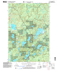
(193)- 2005 Map of Totagatic Lake, 2006 Print
 2005 Totagatic Lake2006 Print · USGSThe headwaters and wetlands of the Bayfield and Sawyer county line are captured here during a period of modern forest management. Conservationists and locals can trace the winding paths of the Ounce River and Totagatic River as they feed into Totagatic Lake.
 - 2005 Map of Barker Lake, 2006 Print
 2005 Barker Lake2006 Print · USGSSawyer County’s intricate water systems and forest boundaries are clearly defined in this mid-2000s survey of the Wisconsin northwoods. Researchers can trace the sprawling reaches of Lake Chippewa, locate the Winter Dam, and identify landmarks like Big Timber Island.
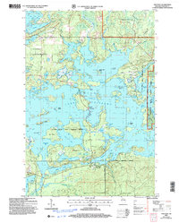
 - 2005 Map of Spider Lake, 2006 Print
 2005 Spider Lake2006 Print · USGSThe Northwoods of Sawyer County appear here as a maze of glacial lakes and managed forest at the start of the millennium. Researchers can trace the shoreline of Spider Lake or locate specific landmarks like the Tiger Cat Dam and Camp Four Lakes.
 - 2005 Map of Clam Lake SW, 2006 Print
 2005 Clam Lake SW2006 Print · USGSNorthern Wisconsin lake country and timberlands are seen here in the early 2000s within the Chequamegon - Nicolet National Forest. Trace the path of the Chippewa River and explore the remote shores of Moose Lake and Ike Lake.
 - 2005 Map of Clam Lake, 2006 Print
 2005 Clam Lake2006 Print · USGSThe Northwoods around Clam Lake appear here in the early twenty-first century, showing a landscape defined by federal forest management and lakeside recreation. Researchers can trace local landmarks like Wildwood Cem, the Church of St George, and the Clam Lake Lookout.
 - 2005 Map of Lake Tahkodah, 2006 Print
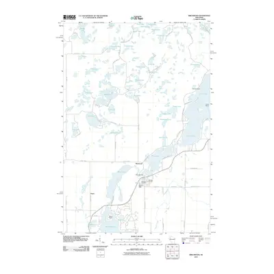
 2005 Lake Tahkodah2006 Print · USGSBayfield County at the turn of the millennium shows a landscape dedicated to the Northwoods river-and-lake system within the national forest. Researchers can trace forest management boundaries and find recreational landmarks like Mount Telemark, Cable Union Airport, and the St Croix National Scenic Riverway.
 - 2005 Map of New Post, 2006 Print
 2005 New Post2006 Print · USGSSawyer County’s lake country is captured here in the early 2000s, showing the intersection of forest service lands and tribal territory. Researchers can locate the New Post settlement and its Cem, alongside named landmarks like Hermans Landing and Pork Barrel Island.
 - 2005 Map of Blaisdell Lake, 2006 Print
 2005 Blaisdell Lake2006 Print · USGSThe Northwoods of Sawyer County come into focus during the mid-2000s, showcasing a landscape of glacial lakes managed within the Chequamegon-Nicolet National Forest. Trace local history at Glenwood Camp, the Power Plant, and old landings on Blaisdell Lake and Loretta Lake.
 - 2005 Map of Kennedy, 2006 Print
 2005 Kennedy2006 Print · USGSNorthern Wisconsin's deep woods and glacial lakes are mapped here in the early twenty-first century. Genealogists and researchers can trace the settlement of Kennedy and the remote forest roads near Lake Alice and Oxbo Lake.
 - 2005 Map of Moose Lake, 2006 Print
 2005 Moose Lake2006 Print · USGSSawyer County lake country is shown in detail during the early 2000s, centered on the protected lands of the Chequamegon-Nicolet National Forest. You can locate old forest access points, the West Fork Lookout, and remote shoreline features on Moose Lake and Teal Lake.
 - 2005 Map of Loretta, 2006 Print
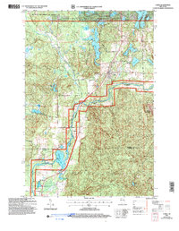
 2005 Loretta2006 Print · USGSNorthern Wisconsin's timber and recreation lands are captured here in the early 2000s. Genealogists and local historians can trace the town layouts of Loretta and Draper or locate the local Cem and Ranger Station along the historic Tuscobia Trail.
 - 2005 Map of Cable, 2006 Print
 2005 Cable2006 Print · USGSIn the Wisconsin Northwoods at the start of the new millennium, the town of Cable remains a hub for the surrounding national forest. Researchers can trace local landmarks like Mount Telemark, Greenwood Cem, and small settlements like Leopards and Radapur.
 - 2005 Map of Namekagon Lake, 2006 Print
 2005 Namekagon Lake2006 Print · USGSNorthern Wisconsin's lake country is captured here during the mid-2000s, showing the complex shoreline of the Chequamegon Nicolet National Forest. You can trace family-named points and landings like Juneks Point, Missionary Point, and Garden Lake.
 - 2010 Map of Chief Lake, 2010 Print
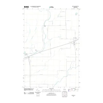
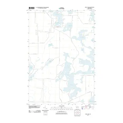 2010 Chief Lake2010 Print · USGSCovers Sawyer County, including Bass Lake, Hunter, and other nearby areas
 - 2010 Map of Exeland, 2010 Print
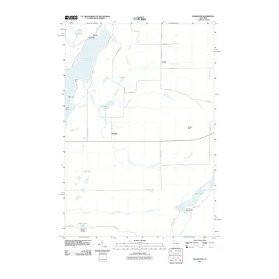
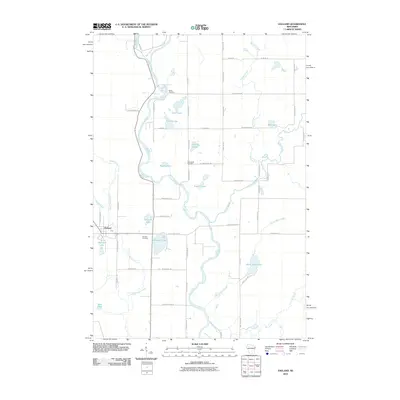 2010 Exeland2010 Print · USGSCovers Sawyer County, including Weirgor, Murry, and other nearby areas
 - 2010 Map of Reserve, 2010 Print
 2010 Reserve2010 Print · USGSCovers Sawyer County, including Hayward, Bass Lake, and other nearby areas
 - 2010 Map of Hauer, 2010 Print
 2010 Hauer2010 Print · USGSCovers Sawyer County, including Edgewater, Bass Lake, and other nearby areas
 - 2010 Map of Couderay, 2010 Print
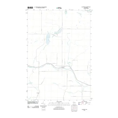 2010 Couderay2010 Print · USGSCovers Sawyer County, including Couderay, Lemington, and other nearby areas
 - 2010 Map of Bean Lake, 2010 Print
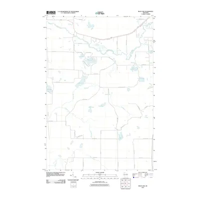 2010 Bean Lake2010 Print · USGSCovers Sawyer County, including Hayward, Bass Lake, and other nearby areas
 - 2010 Map of Edgewater, 2010 Print
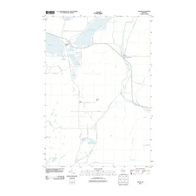
 2010 Edgewater2010 Print · USGSCovers Sawyer County, including Edgewater, Murry, and other nearby areas
 - 2010 Map of Radisson, 2010 Print
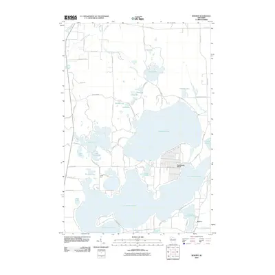
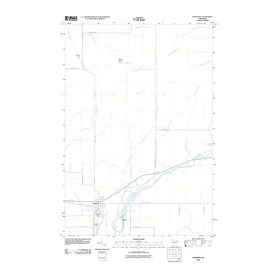 2010 Radisson2010 Print · USGSCovers Sawyer County, including Ojibwa, Radisson, and other nearby areas
 - 2010 Map of Hogsback Creek, 2010 Print
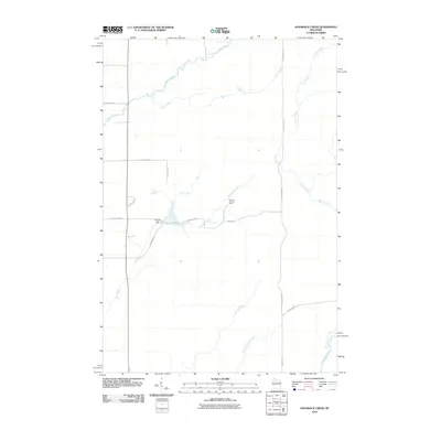 2010 Hogsback Creek2010 Print · USGSCovers Sawyer County, including Hubbard, Winter, and other nearby areas
 - 2010 Map of Winter, 2010 Print
 2010 Winter2010 Print · USGSCovers Sawyer County, including Winter, Ojibwa, and other nearby areas
 - 2010 Map of Birchwood, 2010 Print
 2010 Birchwood2010 Print · USGSCovers Sawyer County, including Edgewater, Birchwood, and other nearby areas
 - 2010 Map of Chittamo NE, 2010 Print
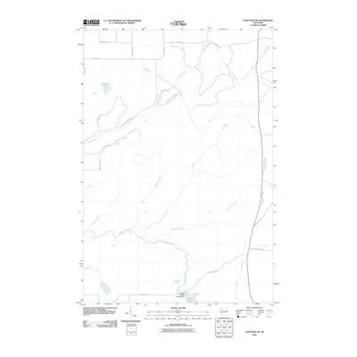 2010 Chittamo NE2010 Print · USGSCovers Sawyer County, including Gordon, Wascott, and other nearby areas
Showing maps 1-25 of 193
Top cities of Sawyer County
- Hayward historical maps
- Edgewater historical maps
- Weirgor historical maps
- Winter historical maps
- Ojibwa historical maps
- Radisson historical maps
See more
Frequently asked questions
- What are the different types of historical maps available for Sawyer County?
- What is the oldest map of Sawyer County?
- Where can I purchase historical maps of Sawyer County for my home or office?
- Where can I download high-res historical maps of Sawyer County?
- Are there historical topographic maps available for Sawyer County?
- Is there historical aerial imagery available for Sawyer County?
- Where are historical maps of Sawyer County sourced from?