2010s Maps of Sawyer County, Wisconsin
Explore 144 historic maps of Sawyer County from the 2010s. These maps offer a rare glimpse into what life looked like during the 2010s — showing old roads, neighborhoods, homes, and landmarks that have changed or disappeared over time.
Whether you're researching your family's past, planning a metal detecting trip, or studying how Sawyer County's landscape evolved across the 2010s, these high-resolution maps are a powerful tool for exploring the history of this region.
- Focus on a specific era: All maps on this page are from the 2010s, giving you a focused view of this time period.
- See what’s changed: Compare century-old streets, trails, and buildings to today's modern landscape using overlays and satellite layers.
- Research with precision: Use these maps for genealogy, historical research, land use analysis, or educational projects.
- View, download, or print: Maps are fully viewable online in high resolution, and can be downloaded or printed for your own records.
Start exploring Sawyer County's history through authentic maps from the 2010s. This is your window into the past.
Sawyer County, WI maps
(144)- 2010 Map of Chief Lake, 2010 Print
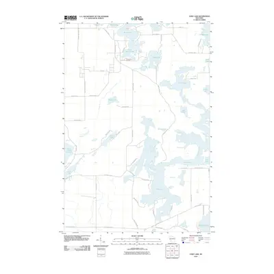 2010 Chief Lake2010 Print · USGSSawyer County’s lake country is captured in the early twenty-first century, showing a landscape defined by water and woods. Genealogists and local historians can trace family locations near Round Lake Cemetery or property lines along Chief Lake and the Chippewa River.
 - 2010 Map of Exeland, 2010 Print
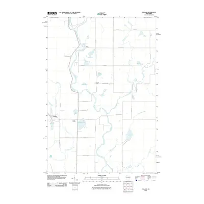 2010 Exeland2010 Print · USGSSawyer County at the start of the decade reveals a landscape defined by the winding Chippewa River and the quiet village of Exeland. Genealogists and local historians can trace family locations near the Mennonite Cemetery, Bellile Cemetery, and Windfall Lake.
 - 2010 Map of Reserve, 2010 Print
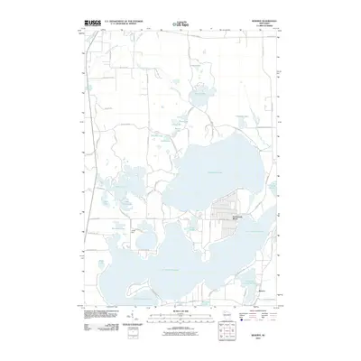 2010 Reserve2010 Print · USGSSawyer County's lakeside character is on full display in the early twenty-first century, centered on the deep waters of Lac Courte Oreilles. Researchers can trace local development in Northwoods Beach and Reserve, or locate landmarks like the Jonjak Dam and Whitefish Lake.
 - 2010 Map of Hauer, 2010 Print
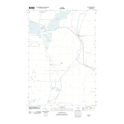 2010 Hauer2010 Print · USGSSawyer County at the start of the 2010s was a landscape defined by its waters and rural crossroad settlements like Hauer. Genealogists and local historians can trace the intricate river-and-lake network including the Couderay River, the Sand Lake Lookout Tower, and Billy Boy Dam.
 - 2010 Map of Couderay, 2010 Print
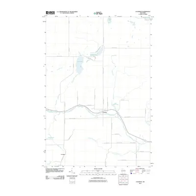 2010 Couderay2010 Print · USGSSawyer County at the start of the 2010s shows a landscape of river-town life and glacial lakes. Local historians can trace the course of the Couderay River between the settlements of Couderay and Lemington, alongside features like Ashegon Lake and Swift Creek.
 - 2010 Map of Bean Lake, 2010 Print
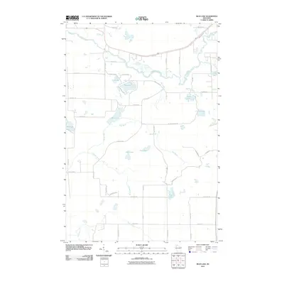 2010 Bean Lake2010 Print · USGSSawyer County’s glacial lake country is charted here in the early twenty-first century, showing the area’s intricate water network. Genealogists and locals can trace family-named routes and shoreline access near Bean Lake, Devils Lake, and the winding Namekagon River.
 - 2010 Map of Edgewater, 2010 Print
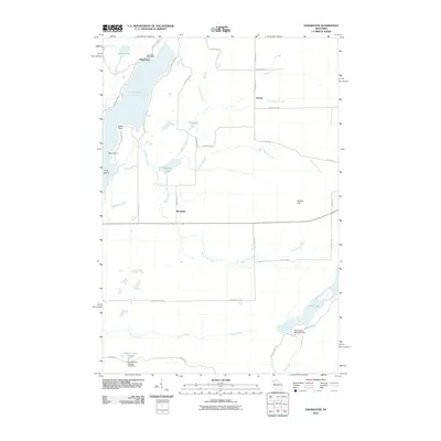 2010 Edgewater2010 Print · USGSThe Northwoods of Sawyer County come into focus in the early 21st century, centered on the lakes and rural outposts near the Couderay River headwaters. Trace local history through the Edgewater Post Office, the shores of Lake Chetac, and the high ground of Meteor Hill.
 - 2010 Map of Radisson, 2010 Print
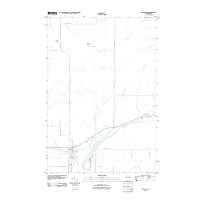 2010 Radisson2010 Print · USGSSawyer County at the start of the decade reveals a landscape where the river economy and forest management meet. Researchers can trace local heritage at the Radisson Cemetery or locate industrial sites like the Grimh WP 370 Dam and the Pipestone Lookout Tower.
 - 2010 Map of Hogsback Creek, 2010 Print
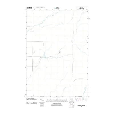 2010 Hogsback Creek2010 Print · USGSRusk County at the start of the 2010s shows a landscape of interconnected creek systems and forestry landmarks. Researchers can trace the path of the Brunet River or locate historical points of interest like the Swayne Lookout Tower and Finnell Dam.
 - 2010 Map of Winter, 2010 Print
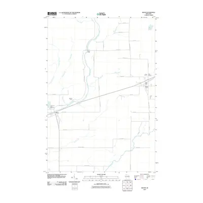 2010 Winter2010 Print · USGSSawyer County at the start of the 2010s is a landscape defined by the winding Chippewa River and small timber-country hubs. Genealogists and researchers can locate family sites near Winter Cemetery or trace the early community footprints of Ojibwa and Bishop Bridge.
 - 2010 Map of Birchwood, 2010 Print
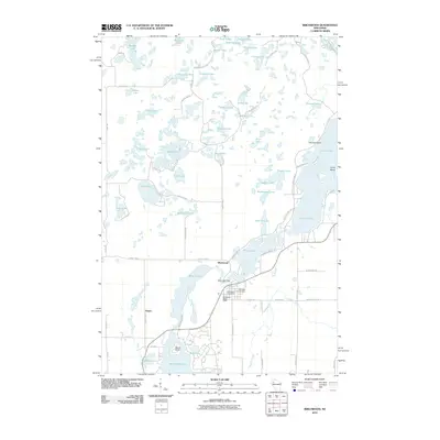 2010 Birchwood2010 Print · USGSBirchwood and its surrounding lake country are captured in this 2010 survey, showcasing the village at the junction of Sawyer and Washburn counties. Local historians and genealogists can pinpoint Woodlawn Cemetery, the Birch Lake Dam, and the small community of Angus.
 - 2010 Map of Chittamo NE, 2010 Print
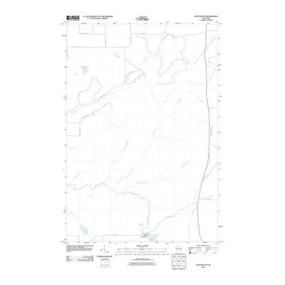 2010 Chittamo NE2010 Print · USGSDouglas County’s forested wetlands and hydraulic infrastructure are captured here in the decade following the turn of the millennium. Outdoor enthusiasts and researchers can trace the Totagatic River to the 2WP804 Dam or explore the network of timber routes like Coppermine Scenic Drive Loop.
 - 2010 Map of Ingram NE, 2010 Print
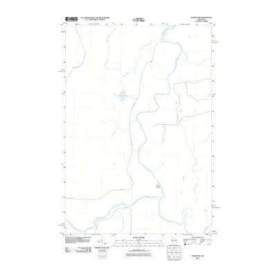 2010 Ingram NE2010 Print · USGSThe Flambeau River corridor comes into focus in this 2010 look at the Northwoods, where river bends and small tributaries define the landscape. Trace local land use and hydrology along Dodes Island, Hegmeister Lake, and family-named routes like Hervas Rd.
 - 2010 Map of Babbs Island, 2010 Print
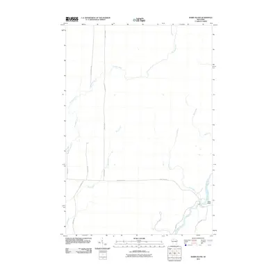 2010 Babbs Island2010 Print · USGSThe Flambeau River valley in northern Wisconsin is captured here as it appeared in the early twenty-first century. Researchers can trace rural road networks and water features like Babbs Island, Thornapple River, and Oconnel Rd.
 - 2010 Map of Oxbo, 2010 Print
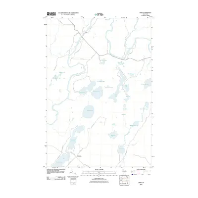 2010 Oxbo2010 Print · USGSSawyer County at the start of the twenty-first century remains a pristine landscape of glacial lakes and river bends. Researchers can locate remote landmarks like the Connors Lake Lookout Tower or trace the drainage of the Flambeau River through Deadman Slough.
 - 2010 Map of Stanberry East, 2010 Print
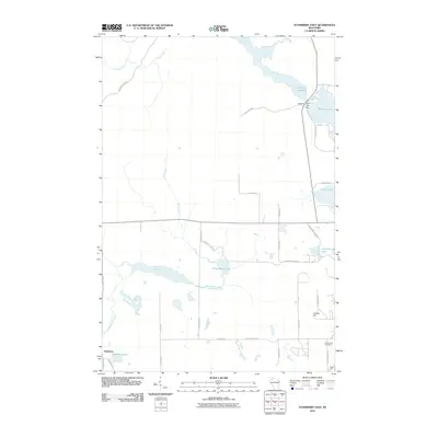 2010 Stanberry East2010 Print · USGSStanberry and the Northwoods of Sawyer County are documented here in the early 2000s, showing a landscape defined by glacial lakes and the Totagatic Flowage. Researchers can locate Greenwood Cemetery, the Totagatic 2 WP 239 Dam, and family-named routes like John Waggoner Rd.
 - 2010 Map of Ingram NW, 2010 Print
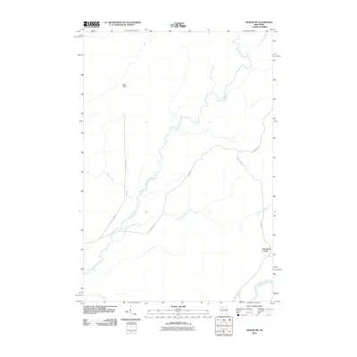 2010 Ingram NW2010 Print · USGSSawyer County at the start of the 2010s is a landscape of winding rivers and forest grades. Researchers can trace the paths of the Thornapple River and find local landmarks like Old Weilep Camp and Hay Stack Corner.
 - 2010 Map of Kennan NW, 2010 Print
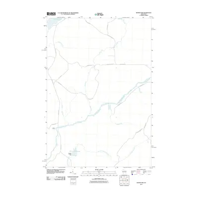 2010 Kennan NW2010 Print · USGSThe South Fork of the Flambeau River cuts through Rusk County at a time when managed flowages and remote camps defined the landscape. Local historians can trace water management at the Sobieski C14690.1 Dam or locate Camp Flambeau along the river banks.
 - 2010 Map of Lake Winter, 2010 Print
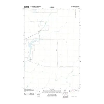 2010 Lake Winter2010 Print · USGSSawyer County at the start of the decade reveals a landscape shaped by the Brunet River and its forest-management infrastructure. Trace the drainage of Deadman Creek and Casey Creek or locate the Winter Lookout Tower near Lake Winter.
 - 2010 Map of Seeley, 2010 Print
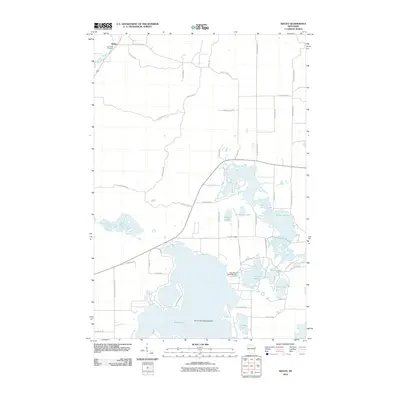 2010 Seeley2010 Print · USGSThe Northwoods landscape around Seeley is defined by its deep glacial lakes and river corridors at the start of the 21st century. Researchers can trace the layout of Riverside Cemetery, find the Round Lake Seaplane Base, and locate the Lake Placid 2 WP 298 Dam.
 - 2010 Map of Weirgor, 2010 Print
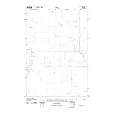 2010 Weirgor2010 Print · USGSSawyer County at the start of the decade is defined by its network of glacial lakes and northern streams. Local historians can trace rural routes and water features like Weirgor Lake, the settlement of Meteor, and the winding path of Swan Creek.
 - 2010 Map of Stone Lake, 2010 Print
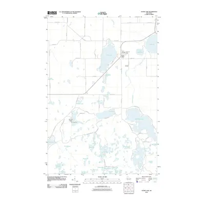 2010 Stone Lake2010 Print · USGSThe lakeside community of Stone Lake and its surrounding Northwoods terrain are captured here in the early twenty-first century. Genealogists and local historians can locate the Evergreen Cemetery and trace the complex waterways from Sand Lake to the Slim Creek Dam.
 - 2010 Map of Hayward, 2010 Print
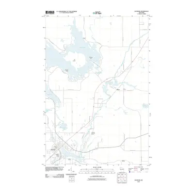 2010 Hayward2010 Print · USGSSawyer County at the start of the 2010s shows a landscape deeply tied to the Namekagon River and its surrounding wetlands. Researchers can trace local history through the Trinity Cemetery, the Hayward Fire Tower, and landmarks like Lenroot Landing.
 - 2011 Map of Barker Lake, 2011 Print
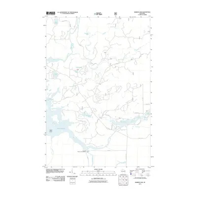 2011 Barker Lake2011 Print · USGSSawyer County’s lake country is seen here in the early twenty-first century as a complex network of flowages and timberland. Researchers can trace the massive impoundment of Lake Chippewa and locate specific sites like Winter Dam, Wagon Wheel Island, and Barker Lake.
 - 2011 Map of Clam Lake, 2011 Print
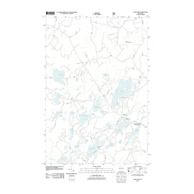 2011 Clam Lake2011 Print · USGSWisconsin's northern lake country is captured here during a period of modern forest management and lakeside recreation. Researchers can trace the layout of Clam Lake, locate the Wildwood Cemetery, or find the Little Clam Lake Seaplane Base near the water's edge.
Showing maps 1-25 of 144
Top cities of Sawyer County
- Hayward historical maps
- Edgewater historical maps
- Weirgor historical maps
- Winter historical maps
- Ojibwa historical maps
- Radisson historical maps
See more
Frequently asked questions
- What are the different types of historical maps available for Sawyer County?
- What is the oldest map of Sawyer County?
- Where can I purchase historical maps of Sawyer County for my home or office?
- Where can I download high-res historical maps of Sawyer County?
- Are there historical topographic maps available for Sawyer County?
- Is there historical aerial imagery available for Sawyer County?
- Where are historical maps of Sawyer County sourced from?