2010s Maps of Shawano County, Wisconsin
Explore 120 historic maps of Shawano County from the 2010s. These maps offer a rare glimpse into what life looked like during the 2010s — showing old roads, neighborhoods, homes, and landmarks that have changed or disappeared over time.
Whether you're researching your family's past, planning a metal detecting trip, or studying how Shawano County's landscape evolved across the 2010s, these high-resolution maps are a powerful tool for exploring the history of this region.
- Focus on a specific era: All maps on this page are from the 2010s, giving you a focused view of this time period.
- See what’s changed: Compare century-old streets, trails, and buildings to today's modern landscape using overlays and satellite layers.
- Research with precision: Use these maps for genealogy, historical research, land use analysis, or educational projects.
- View, download, or print: Maps are fully viewable online in high resolution, and can be downloaded or printed for your own records.
Start exploring Shawano County's history through authentic maps from the 2010s. This is your window into the past.
Shawano County, WI maps
(120)- 2010 Map of Shepley, 2010 Print
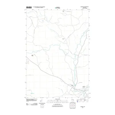
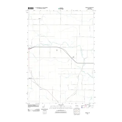 2010 Shepley2010 Print · USGSShawano County's rural landscape is captured here in the early 2000s, showing a network of small settlements and river valleys. Researchers can trace family history through landmarks like the Morris Lookout Tower or the small communities of Shepley and Whitcomb.
 - 2010 Map of Wittenberg, 2010 Print
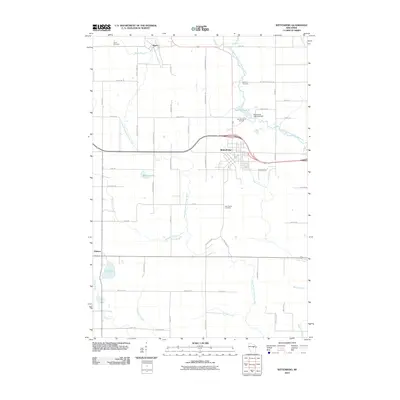 2010 Wittenberg2010 Print · USGSWisconsin’s Shawano County appears here at the start of the decade, centered on the river-powered village of Wittenberg. Local historians can trace family plots at Bethany Cemetery or locate the Wittenberg 1885c235 Dam and Homme Home for Boys.
 - 2010 Map of Birnamwood, 2010 Print
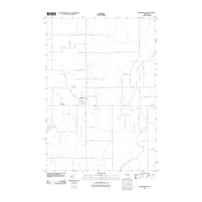 2010 Birnamwood2010 Print · USGSBirnamwood and the surrounding Marathon County countryside are captured here in the early twenty-first century. Genealogists and local historians can locate family plots at Saint Philomene Cemetery and Forest Cemetery or trace the course of the Middle Branch Embarrass River.
 - 2010 Map of Tigerton NW, 2010 Print
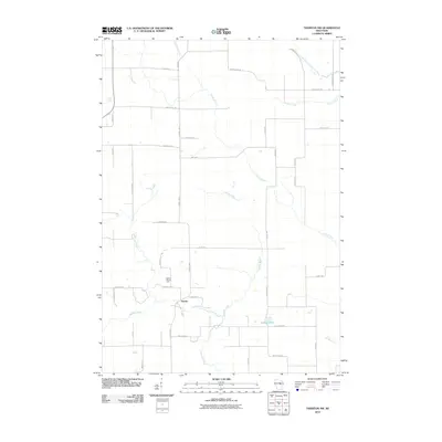 2010 Tigerton NW2010 Print · USGSPortage County at the start of the 2010s reveals a persistent agricultural landscape shaped by the Little Wolf River. Genealogists and local historians can trace family-named routes like Rekowski Rd near the settlement of Norske and the Grove Terrace Farm.
 - 2010 Map of Tigerton, 2010 Print
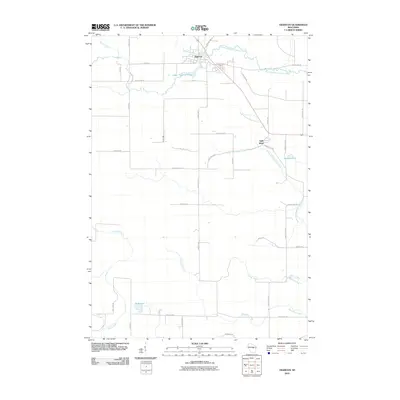 2010 Tigerton2010 Print · USGSShawano County at the start of the 2010s shows a landscape of timbered river valleys and established family farmsteads. Researchers can trace land ties along Tauferner Rd or follow the waters of the South Branch Embarrass River through Tigerton.
 - 2010 Map of Regina, 2010 Print
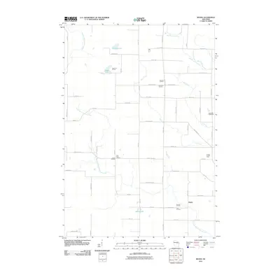 2010 Regina2010 Print · USGSRegina and its surrounding Shawano County countryside are shown here in the early twenty-first century as a land of winding rivers and family cemeteries. Genealogists and historians can trace local roots at Saint Pauls Cemetery, Riverside Cemetery, and the Kolpack Lookout Tower.
 - 2010 Map of Aniwa, 2010 Print
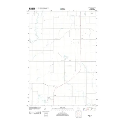 2010 Aniwa2010 Print · USGSAniwa and Elmhurst appear in this 2010 survey of a river-laced landscape in Langlade County. Researchers can trace local history through markers like Hall Pioneer Cemetery, Saint Boniface Cemetery, and the banks of the Middle Branch Embarrass River.
 - 2010 Map of Mattoon, 2010 Print
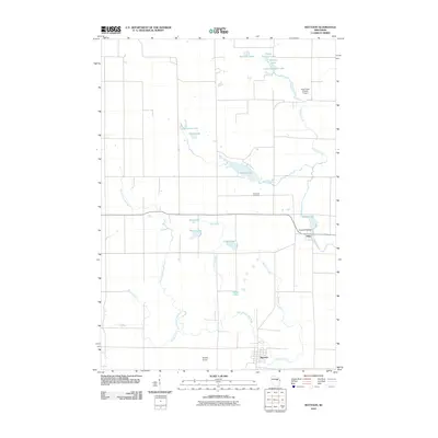 2010 Mattoon2010 Print · USGSThe communities of Mattoon and Phlox are shown here in the early 21st century, set against a dense network of glacial lakes and river branches. Genealogists and researchers can locate Norwood Cemetery or trace the waterways of the Red River and Mattoon Creek.
 - 2010 Map of Lunds, 2010 Print
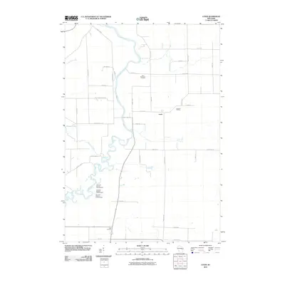 2010 Lunds2010 Print · USGSWisconsin's rural Shawano County landscape is defined here by the winding Wolf River and its managed wetlands at the start of the twenty-first century. Researchers can trace local heritage through sites like Saint Wenceslaus Cemetery and the settlement of Lunds.
 - 2010 Map of Zachow, 2010 Print
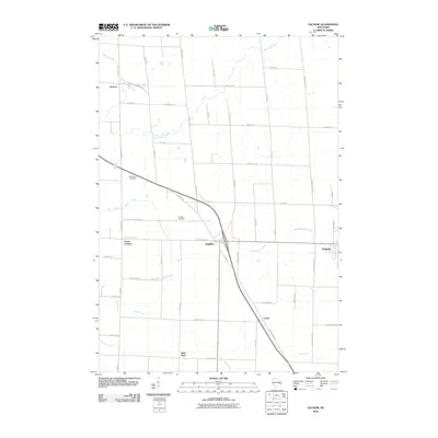 2010 Zachow2010 Print · USGSPulaski and the surrounding farm country are shown here in the late 2000s, revealing a landscape shaped by multiple river systems. Genealogists can trace family roots through sites like Resthaven Cemetery and the rural settlements of Zachow, Laney, and Hofa Park.
 - 2010 Map of Nichols, 2010 Print
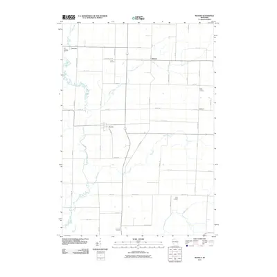 2010 Nichols2010 Print · USGSOutagamie County farm country is documented here at the start of the 2010s, showing the rural settlements of Nichols and Briarton. Genealogists can locate family landmarks like North Cicero Cemetery and follow the paths of family-named routes like Schnable Rd.
 - 2010 Map of Oneida North, 2010 Print
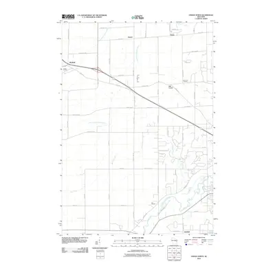 2010 Oneida North2010 Print · USGSNorthwest of Green Bay during the early twenty-first century, this area shows a landscape defined by the winding paths of Duck Creek and the West Branch Suamico River. Genealogists can trace local roots at Owego Cemetery, Zion Cemetery, and the historic settlement of Anston.
 - 2010 Map of Neopit, 2010 Print
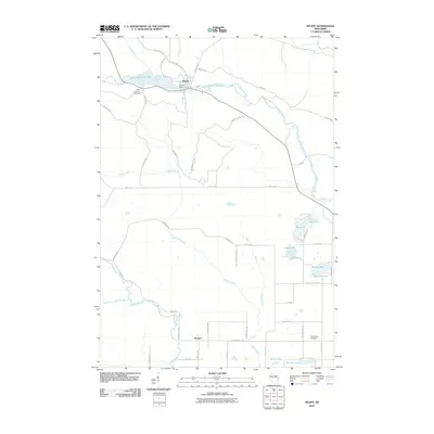 2010 Neopit2010 Print · USGSThe Menominee County forest and river systems are shown here in detail during the early 21st century. Researchers can trace local heritage through Saint Anthonys Cemetery, the waters of the Neopit Millpond 108, and landmarks like Rainbow Falls.
 - 2010 Map of Leeman, 2010 Print
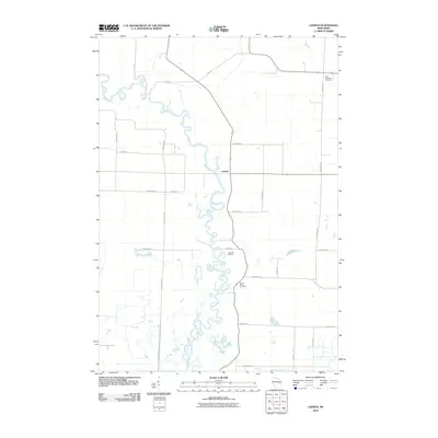 2010 Leeman2010 Print · USGSThe Wolf River corridor in Shawano County shows its characteristic meanders and rural settlements in the early twenty-first century. Researchers can locate local burial grounds like Oak Hill Cemetery and trace the small community of Leeman.
 - 2010 Map of Embarrass, 2010 Print
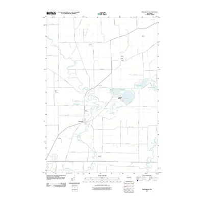 2010 Embarrass2010 Print · USGSThe village of Embarrass and the lakefront community of Adams Beach are shown at the turn of the millennium, situated among the winding channels of the Embarrass River. Researchers can locate several family-named burial grounds like Bomke Cemetery or trace the early 21st-century shoreline of Schoenick Lake.
 - 2010 Map of Oconto Falls South, 2010 Print
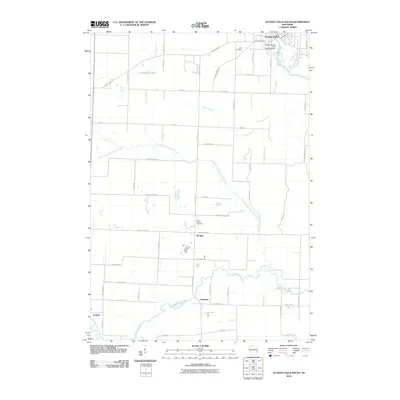 2010 Oconto Falls South2010 Print · USGSWisconsin's rural dairy and timber country south of the falls is documented here as it appeared in the early twenty-first century. Researchers can locate family landmarks like Volk Cemetery or trace the waterways of Morgan Marsh near the settlements of Morgan and Krakow.
 - 2010 Map of Marion, 2010 Print
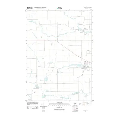 2010 Marion2010 Print · USGSWisconsin's Waupaca County landscape is defined by the winding branches of the Embarrass and Pigeon Rivers at the start of the twenty-first century. Genealogists and local historians can trace the positions of Zion Cemetery, the Leuthold Granite Quarry, and the Marion 2WP732 Dam across the terrain.
 - 2010 Map of Gresham, 2010 Print
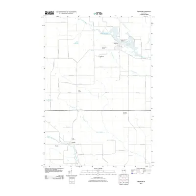 2010 Gresham2010 Print · USGSGresham and the surrounding Shawano County countryside are shown here at the turn of the decade, centered on the waters of the Red River. Researchers can locate several historic burial grounds including Saint Marys Cemetery and trace the rural paths of Old Shawano Rd.
 - 2010 Map of Shawano, 2010 Print
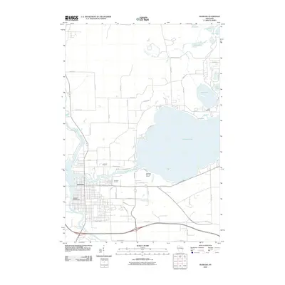 2010 Shawano2010 Print · USGSShawano and its expansive lakefront are captured here in the early twenty-first century, showing the established city and its surrounding water-defined landscape. Genealogists and local historians can locate Woodlawn Cemetery, Lake Drive Cemetery, and the Shawano 3WR393 Dam along the Wolf River.
 - 2010 Map of Krakow, 2010 Print
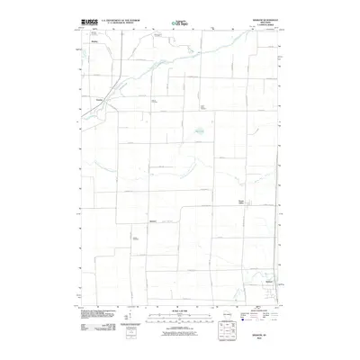 2010 Krakow2010 Print · USGSOconto County's rural heartland is documented here at the turn of the millennium, showing a landscape of traditional farmsteads and crossroads hamlets. Researchers can locate several historic burial sites like Danish Cemetery and Dickson Cemetery or trace the early paths of Pulcifer and Krakow.
 - 2010 Map of Bowler, 2010 Print
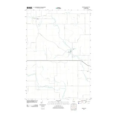 2010 Bowler2010 Print · USGSShawano County at the turn of the millennium shows a landscape defined by the winding North Branch Embarrass River. Genealogists and local historians can trace the rural layout around Bowler, Tilleda, and the eastern Seneca Cemetery.
 - 2010 Map of Thornton, 2010 Print
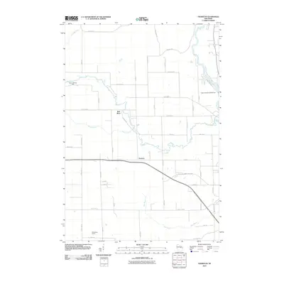 2010 Thornton2010 Print · USGSThornton and the surrounding Shawano County river valleys are captured here in the early twenty-first century. Researchers can trace the water-powered history of the area through Freeman Falls, the Weed 2WP1507 Dam, and the Wolf River.
 - 2010 Map of Bonduel, 2010 Print
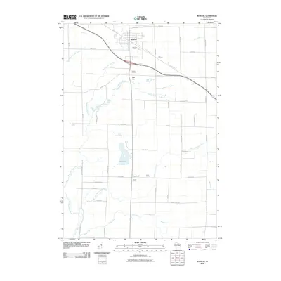 2010 Bonduel2010 Print · USGSShawano County at the start of the 2010s reveals a well-ordered landscape of traditional farmsteads and growing rural villages. Genealogists can trace family roots through several local sites including Saint Paul Cemetery, Slab City, and the rural crossroads of Landstad.
 - 2010 Map of Burney Lake, 2010 Print
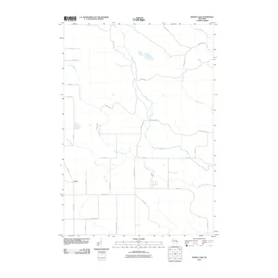 2010 Burney Lake2010 Print · USGSAlmon and the surrounding river valleys of Shawano County are captured here in the early twenty-first century as the landscape maintains its rural character. Genealogists and historians can trace the paths of Red River, Miller Creek, and named local routes like Wagon Bridge Rd.
 - 2010 Map of Keshena, 2010 Print
 2010 Keshena2010 Print · USGSIn the heart of the Menominee Reservation during the early twenty-first century, the Wolf River system dictates the layout of local life. Trace river-front settlements and landmarks like Keshena, Middle Village, and the high vantage point of Kinepoway Lookout Tower.
Showing maps 1-25 of 120
Top cities of Shawano County
- Shawano historical maps
- Belle Plaine historical maps
- Angelica historical maps
- Bonduel historical maps
- Wittenberg historical maps
- Wittenberg historical maps
See more
Frequently asked questions
- What are the different types of historical maps available for Shawano County?
- What is the oldest map of Shawano County?
- Where can I purchase historical maps of Shawano County for my home or office?
- Where can I download high-res historical maps of Shawano County?
- Are there historical topographic maps available for Shawano County?
- Is there historical aerial imagery available for Shawano County?
- Where are historical maps of Shawano County sourced from?