Old Maps of Pella, Wisconsin for Hiking & Exploration
Hike through history with 33 historic maps of Pella. Explore old trails, ghost towns, and forgotten backroads — perfect for outdoor adventurers and local explorers.
- Rediscover forgotten places: Map out old mining camps, roads, and footpaths that no longer exist on modern maps.
- Layer with modern tools: Combine with LiDAR or satellite views to plan hikes through historical terrain.
- Made for exploration: Popular among hikers, overlanders, and local history lovers.
Use these maps to find adventure and explore the hidden past of Pella.
Pella, WI maps
(33)- 1954 Map of Gresham, 1956 Print
 1954 Gresham1956 Print · USGSMid-century Shawano County is captured here at a time when the northern timberlands and southern farmsteads met. Genealogists and historians can trace local landmarks like Mohican Sch, the milling center at Neopit, and several rural churches including Immanuel Ch.
 - 1954 Map of Shawano, 1956 Print
 1954 Shawano1956 Print · USGSWisconsin’s northwoods meet the growing city of Shawano in the mid-fifties, centered on the powerful Wolf River and its falls. Genealogists can trace family landmarks like St Jakobi Ch, Red River Cem, and several local schools.
 - 1955 Map of Embarrass, 1957 Print
 1955 Embarrass1957 Print · USGSIn the mid-1950s, this pocket of Wisconsin was a landscape of dairy townships and evolving rural education. Genealogists can trace family roots through numerous sites like St John Ch, the Danish Cem, and many schoolhouses marked abandoned including Riverbank Sch.2 unique versions available
 - 1955 Map of Clintonville, 1957 Print
 1955 Clintonville1957 Print · USGSClintonville and Marion are shown at a peak of rail-era development in the mid-1950s. Genealogists can trace family roots through numerous rural landmarks like Graceland Cem, the Danish Cem, and one-room schoolhouses such as Sunrise Sch.2 unique versions available
 - 1955 Map of Green Bay, 1968 Print
 1955 Green Bay1968 Print · USGSCentral and Eastern Wisconsin are captured here in the mid-fifties, showing the industrial growth of the Fox Valley and Wisconsin River corridors. Genealogists and historians can trace rail lines like the Green Bay and Western through settlements like Weyauwega, Clintonville, and Pulaski.2 unique versions available
 - 1964 Map of Shawano, 1965 Print
 1964 Shawano1965 Print · USGSThe Menominee Indian Reservation and the growing city of Shawano are shown here in the mid-1960s as the Wolf River winds south. Genealogists and historians can trace local landmarks like the Alexian Brothers Novitiate, Keshena School, and the West Branch Cemetery.2 unique versions available
 - 1964 Map of Gresham, 1975 Print
 1964 Gresham1975 Print · USGSMid-century Shawano County is mapped here during a period of transition for its northern timberlands and southern farms. Genealogists and researchers can trace family names through rural landmarks like Hermanfort Sch, St Marys Cem, and Tilleda.
 - 1969 Map of Embarrass, 1971 Print
 1969 Embarrass1971 Print · USGSWisconsin's river-and-lake country comes alive in the late sixties as the Embarrass River winds past small farming communities and lakeside retreats. Trace local history at St Peter Cem, the village of Embarrass, and the shoreline developments of Adams Beach.2 unique versions available
 - 1970 Map of Clintonville North, 1973 Print
 1970 Clintonville North1973 Print · USGSThe rural borderlands of Shawano and Waupaca Counties come alive in the early seventies, centered on the village of Pella and the winding Embarrass River. Genealogists can trace family footprints along Magolski Road or near historic sites like Bethlehem Ch Cem and Immanuel Ch.
 - 1982 Map of Thornton
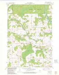 1982 Thornton1982 Print · USGSThe northern reaches of Shawano County in the early eighties show a landscape where indigenous reservation boundaries meet small railroad towns. Researchers can trace rural landmarks like St Jakobi Cem, the Soo Line tracks, and the rapids at Little Bull Falls.
 - 1982 Map of Gresham
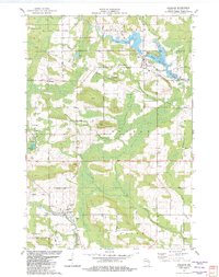 1982 Gresham1982 Print · USGSIn the early eighties, this Shawano County landscape shows the cultural intersection of the Stockbridge-Munsee Indian Reservation Boundary and rural Wisconsin life. Genealogists can trace family names at St Marys Cem and Riverview Cem or locate the old Chicago and North Western rail corridor.
 - 1984 Map of Shawano, 1985 Print
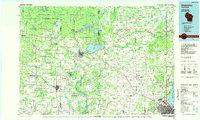 1984 Shawano1985 Print · USGSNortheast Wisconsin in the mid-1980s was a landscape defined by its indigenous heritage and the bustling trade centers of the Fox and Wolf River valleys. Genealogists and historians can trace rail corridors like the Chicago and North Western or locate family sites near Keshena, Cecil, and the Fort Howard Cem.2 unique versions available
 - 1993 Map of Clintonville North, 1995 Print
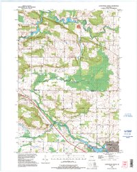 1993 Clintonville North1995 Print · USGSThe border of Shawano and Waupaca counties comes alive in the early 1990s as the river-fed landscape of Pella and Clintonville is documented. Genealogists can locate family landmarks like the St Martin Cem or trace rural routes like Magolski Road and Nietzke Road.
 - 2010 Map of Embarrass, 2010 Print
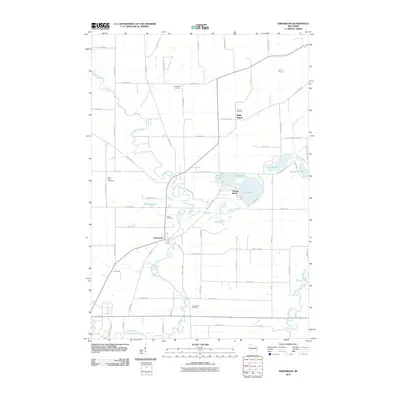 2010 Embarrass2010 Print · USGSThe village of Embarrass and the lakefront community of Adams Beach are shown at the turn of the millennium, situated among the winding channels of the Embarrass River. Researchers can locate several family-named burial grounds like Bomke Cemetery or trace the early 21st-century shoreline of Schoenick Lake.
 - 2010 Map of Gresham, 2010 Print
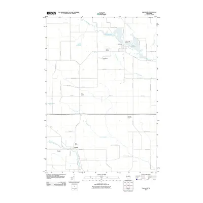 2010 Gresham2010 Print · USGSGresham and the surrounding Shawano County countryside are shown here at the turn of the decade, centered on the waters of the Red River. Researchers can locate several historic burial grounds including Saint Marys Cemetery and trace the rural paths of Old Shawano Rd.
 - 2010 Map of Thornton, 2010 Print
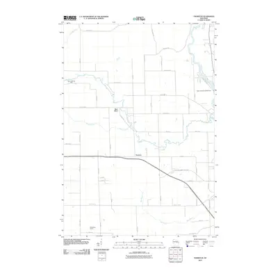 2010 Thornton2010 Print · USGSThornton and the surrounding Shawano County river valleys are captured here in the early twenty-first century. Researchers can trace the water-powered history of the area through Freeman Falls, the Weed 2WP1507 Dam, and the Wolf River.
 - 2010 Map of Clintonville North, 2010 Print
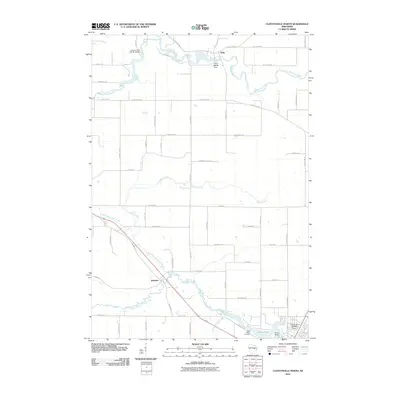 2010 Clintonville North2010 Print · USGSNortheast Wisconsin's river valleys and rural settlements are captured here in the early twenty-first century. Genealogists can trace family footprints near Saint Martin Cemetery or investigate historic water sites like the Pella 1882c38 Dam and the community of Buckbee.
 - 2013 Map of Gresham, 2013 Print
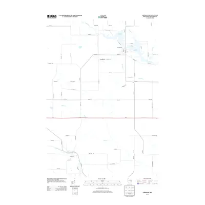 2013 Gresham2013 Print · USGSGresham and its neighboring Shawano County settlements are shown in detail during the early twenty-first century. Genealogists and local historians can trace family locations near Upper Red Lake, the village of Leopolis, and the banks of the Red River.
 - 2013 Map of Thornton, 2013 Print
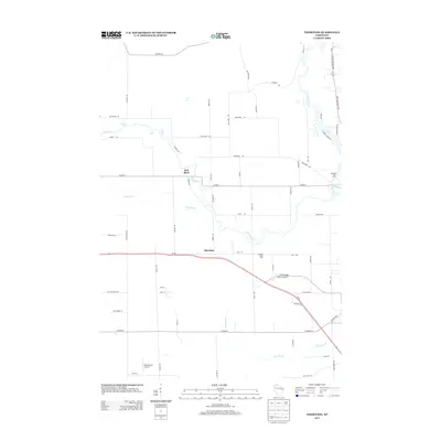 2013 Thornton2013 Print · USGSShawano County's rural landscape is captured here in the early 2010s, showing the meeting of the Red River and Wolf River. Researchers can trace local aviation history at Dillenburg's Airport and find family-run operations like Krueger Dairy Farm and Hanauer's Tree Farms.
 - 2013 Map of Embarrass, 2013 Print
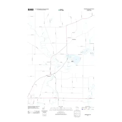 2013 Embarrass2013 Print · USGSThe village of Embarrass and the surrounding lake country are shown here in the early twenty-first century as the landscape transitioned toward modern recreation. You can trace the winding Embarrass River, locate lakefront homes at Adams Beach, and follow family-named routes like Beaver Creek Ln.
 - 2013 Map of Clintonville North, 2013 Print
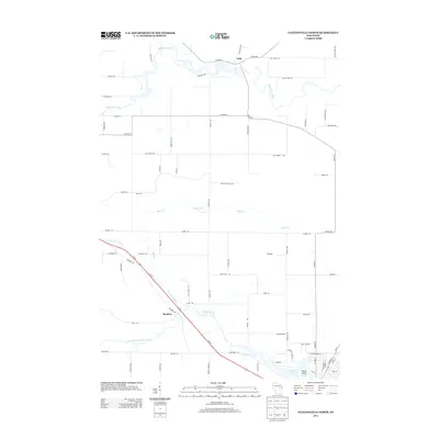 2013 Clintonville North2013 Print · USGSWisconsin's rural dairy and timber country is documented here in the early twenty-first century, showing the small communities and winding river valleys. Genealogists can trace the roads around Pella and Buckbee or locate landmarks near Pigeon Lake and the Embarrass River.
 - 2016 Map of Clintonville North, 2016 Print
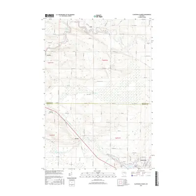 2016 Clintonville North2016 Print · USGSClintonville and the surrounding rural townships are shown here in the mid-2010s, where the Embarrass River meets a network of country roads. Researchers can trace local history through the streets of Marion, the community of Buckbee, and landmarks like Saint Martin Cem.
 - 2016 Map of Thornton, 2016 Print
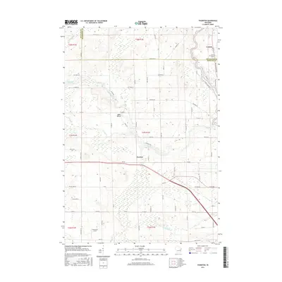 2016 Thornton2016 Print · USGSThe Menominee and Shawano county borderlands are shown here in the mid-2010s, where the Wolf River and Red River converge. Local historians can trace the river's path through Freeman Falls, locate Dillenburg's Airport, and see the campus of the Coll of Menominee Nation.
 - 2016 Map of Gresham, 2016 Print
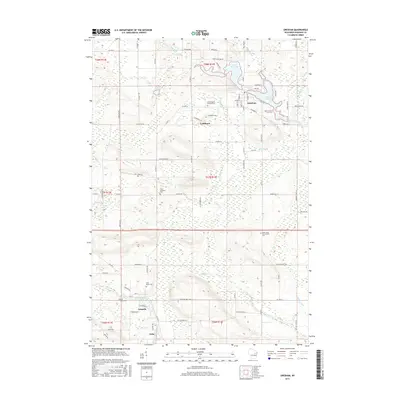 2016 Gresham2016 Print · USGSShawano County is captured here in the mid-2010s, showing a landscape defined by the winding Red River and the rural villages of Gresham and Leopolis. Researchers can trace local heritage through numerous sites like Saint Johns Hermansfort Cem and Elias Lutheran Cem.
 - 2016 Map of Embarrass, 2016 Print
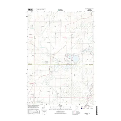 2016 Embarrass2016 Print · USGSThe borderlands of Shawano and Waupaca counties come into focus in 2016 as the Embarrass River winds toward the village of Embarrass. Researchers can trace local lineage through numerous rural landmarks like Zion Cem, Bomke Cem, and the lakeside community at Adams Beach.
Showing maps 1-25 of 33
Top cities near Pella
- Shawano historical maps
- Clintonville historical maps
- Belle Plaine historical maps
- Keshena historical maps
- Marion historical maps
- Tigerton historical maps
See more
Frequently asked questions
- What are the different types of historical maps available for Pella?
- What is the oldest map of Pella?
- Where can I purchase historical maps of Pella for my home or office?
- Where can I download high-res historical maps of Pella?
- Are there historical topographic maps available for Pella?
- Is there historical aerial imagery available for Pella?
- Where are historical maps of Pella sourced from?