2000s (21st Century) Maps of Pella, Wisconsin
Explore 20 historic maps of Pella from the 2000s (21st Century). These maps offer a rare glimpse into what life looked like during the 2000s — showing old roads, neighborhoods, homes, and landmarks that have changed or disappeared over time.
Whether you're researching your family's past, planning a metal detecting trip, or studying how Pella's landscape evolved across the 2000s, these high-resolution maps are a powerful tool for exploring the history of this region.
- Focus on a specific era: All maps on this page are from the 2000s, giving you a focused view of this time period.
- See what’s changed: Compare century-old streets, trails, and buildings to today's modern landscape using overlays and satellite layers.
- Research with precision: Use these maps for genealogy, historical research, land use analysis, or educational projects.
- View, download, or print: Maps are fully viewable online in high resolution, and can be downloaded or printed for your own records.
Start exploring Pella's history through authentic maps from the 2000s. This is your window into the past.
Pella, WI maps
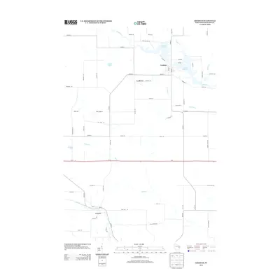
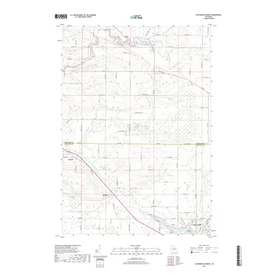
(20)- 2010 Map of Embarrass, 2010 Print
 2010 Embarrass2010 Print · USGSCovers Pella, including Clintonville, Belle Plaine, and other nearby areas
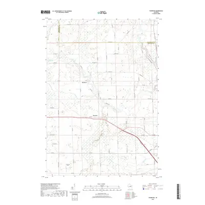
 - 2010 Map of Gresham, 2010 Print
 2010 Gresham2010 Print · USGSCovers Pella, including Gresham, Seneca, and other nearby areas
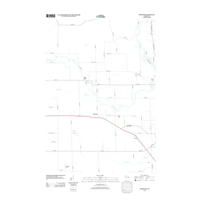
 - 2010 Map of Thornton, 2010 Print
 2010 Thornton2010 Print · USGSCovers Pella, including Belle Plaine, Richmond, and other nearby areas
 - 2010 Map of Clintonville North, 2010 Print
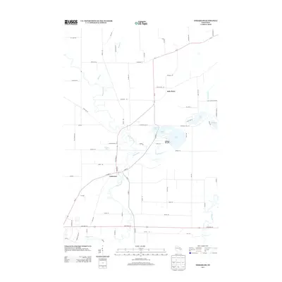
 2010 Clintonville North2010 Print · USGSCovers Pella, including Clintonville, Marion, and other nearby areas
 - 2013 Map of Gresham, 2013 Print
 2013 Gresham2013 Print · USGSCovers Pella, including Gresham, Seneca, and other nearby areas
 - 2013 Map of Thornton, 2013 Print
 2013 Thornton2013 Print · USGSCovers Pella, including Belle Plaine, Richmond, and other nearby areas
 - 2013 Map of Embarrass, 2013 Print
 2013 Embarrass2013 Print · USGSCovers Pella, including Clintonville, Belle Plaine, and other nearby areas
 - 2013 Map of Clintonville North, 2013 Print
 2013 Clintonville North2013 Print · USGSCovers Pella, including Clintonville, Marion, and other nearby areas
 - 2016 Map of Clintonville North, 2016 Print
 2016 Clintonville North2016 Print · USGSCovers Pella, including Clintonville, Marion, and other nearby areas
 - 2016 Map of Thornton, 2016 Print
 2016 Thornton2016 Print · USGSCovers Pella, including Belle Plaine, Richmond, and other nearby areas
 - 2016 Map of Gresham, 2016 Print
 2016 Gresham2016 Print · USGSCovers Pella, including Gresham, Seneca, and other nearby areas
 - 2016 Map of Embarrass, 2016 Print
 2016 Embarrass2016 Print · USGSCovers Pella, including Clintonville, Belle Plaine, and other nearby areas
 - 2018 Map of Clintonville North, 2018 Print
 2018 Clintonville North2018 Print · USGSCovers Pella, including Clintonville, Marion, and other nearby areas
 - 2018 Map of Thornton, 2018 Print
 2018 Thornton2018 Print · USGSCovers Pella, including Belle Plaine, Richmond, and other nearby areas
 - 2018 Map of Gresham, 2018 Print
 2018 Gresham2018 Print · USGSCovers Pella, including Gresham, Seneca, and other nearby areas
 - 2018 Map of Embarrass, 2018 Print
 2018 Embarrass2018 Print · USGSCovers Pella, including Clintonville, Belle Plaine, and other nearby areas
 - 2022 Map of Gresham, 2022 Print
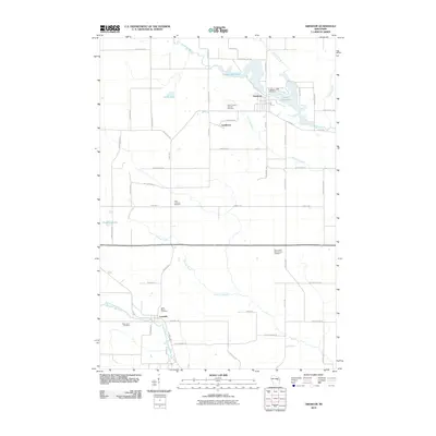
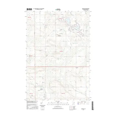
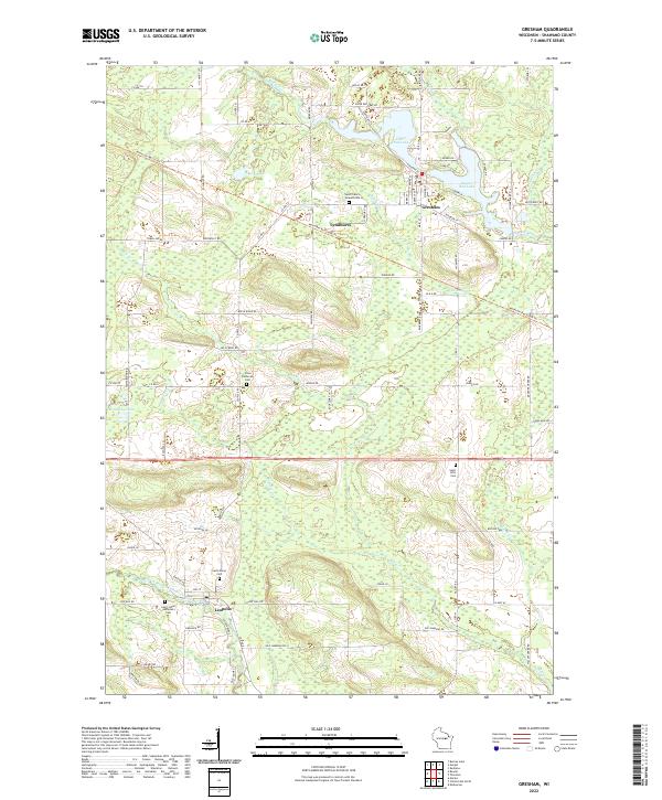 2022 Gresham2022 Print · USGSGresham and the rural surrounds of Shawano County are captured here in the early twenty-first century as the landscape remains tied to its rivers and small settlements. Genealogists can locate family burial sites like Elias Lutheran Cem and trace the paths through Lyndhurst and Leopolis.
 - 2022 Map of Embarrass, 2022 Print
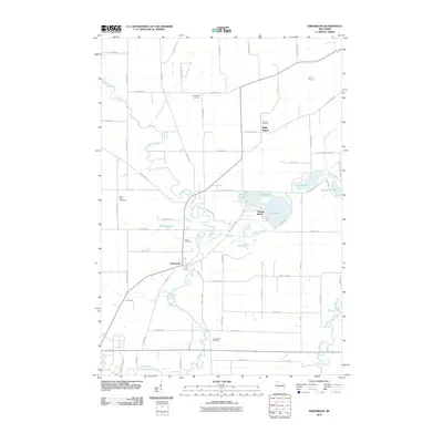
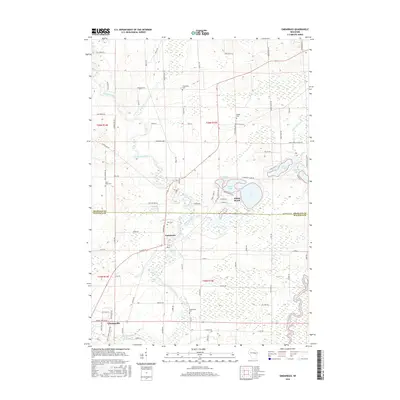
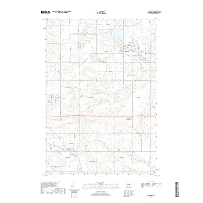
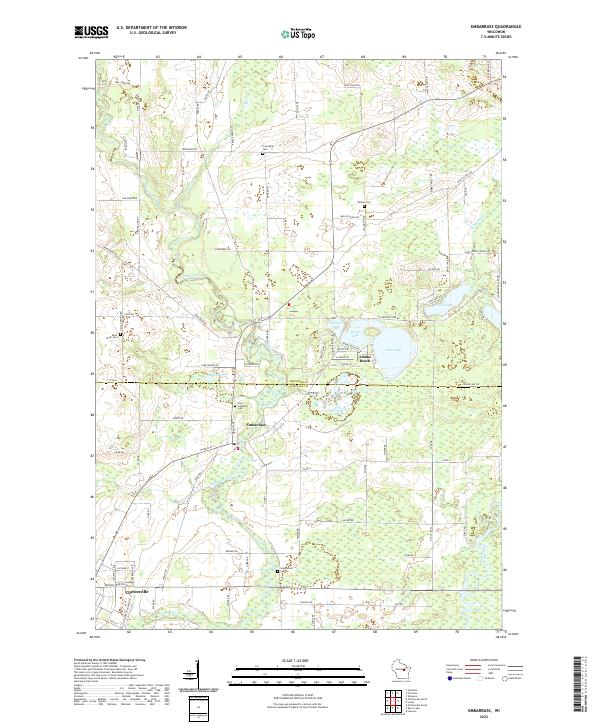 2022 Embarrass2022 Print · USGSThe border of Shawano and Waupaca Counties is defined here by the winding Embarrass River and the settlement of Embarrass. Genealogists and local historians can trace family roots through several local landmarks like Zion Lutheran Cem and Adams Beach.
 - 2022 Map of Thornton, 2022 Print
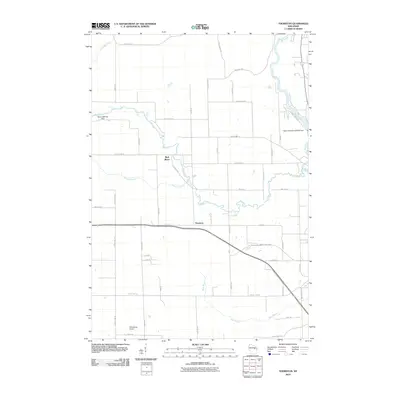
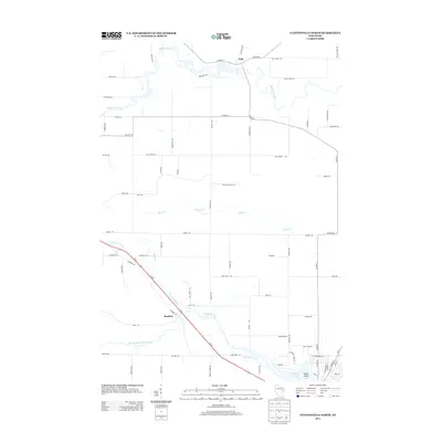
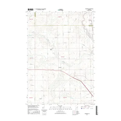
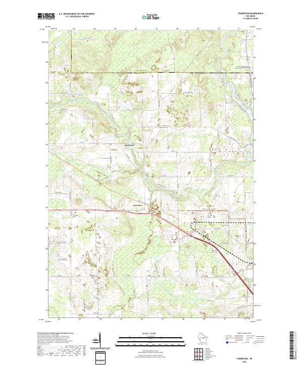 2022 Thornton2022 Print · USGSShawano and Menominee counties are shown here in the early 2020s, centering on the river valleys and tribal lands of northern Wisconsin. Researchers can trace the waterway through Freeman Falls and Gilmer Falls, or locate landmarks like Thornton and Dillenburg's Airport.
 - 2022 Map of Clintonville North, 2022 Print
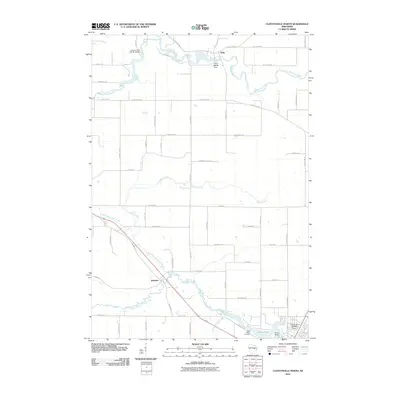
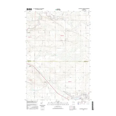
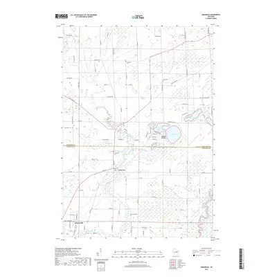
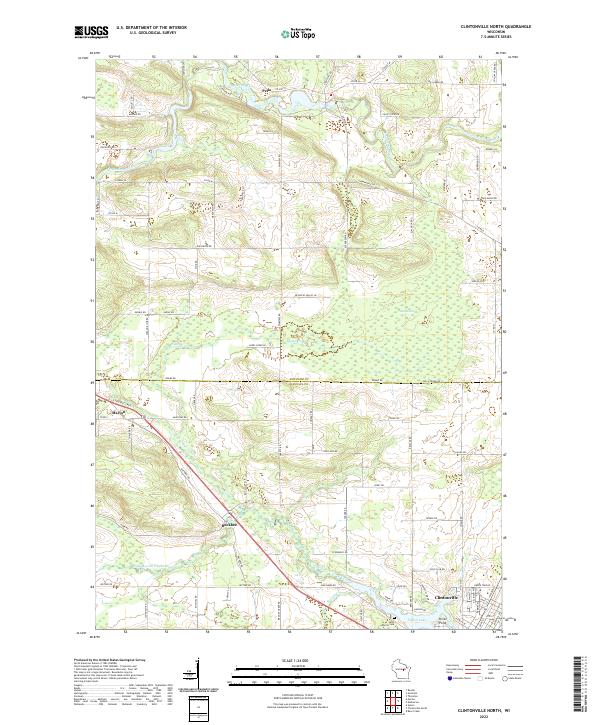 2022 Clintonville North2022 Print · USGSWisconsin's river valleys and rural crossroads are captured here in the early 2020s, showing the landscape surrounding the Embarrass River. Genealogists and local historians can trace the areas around Pella, Buckbee, and Saint Martin Cem.
End of results
Showing maps 1-20 of 20
Top cities near Pella
- Shawano historical maps
- Clintonville historical maps
- Belle Plaine historical maps
- Keshena historical maps
- Marion historical maps
- Tigerton historical maps
See more
Frequently asked questions
- What are the different types of historical maps available for Pella?
- What is the oldest map of Pella?
- Where can I purchase historical maps of Pella for my home or office?
- Where can I download high-res historical maps of Pella?
- Are there historical topographic maps available for Pella?
- Is there historical aerial imagery available for Pella?
- Where are historical maps of Pella sourced from?