Old Maps of Herman, Wisconsin for Academic Research
Study the evolution of Herman with 30 high-resolution historic maps. Whether you're teaching, researching, or modeling changes in land use, these maps provide essential visual documentation of urban, environmental, and geographic change.
- Analyze long-term change: Track patterns in development, transportation, and natural features.
- Ideal for environmental or urban studies: Support academic projects with primary historical map data.
- Use in the classroom or lab: Educators and researchers rely on these maps to bring historical context to life.
These maps are a powerful tool for teaching, research, and visualizing how Herman has changed over the decades.
Herman, WI maps
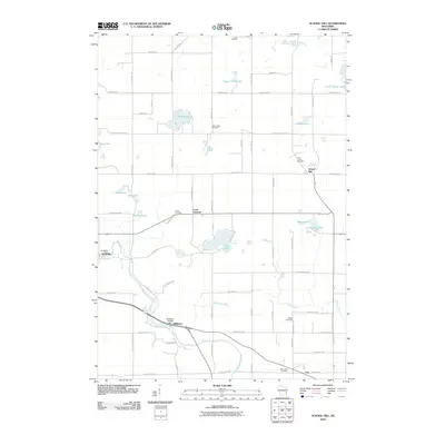
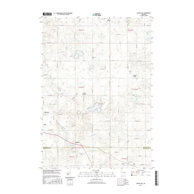
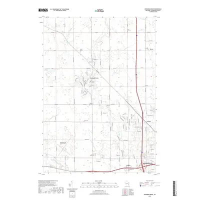
(30)- 1954 Map of School Hill, 1956 Print
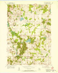 1954 School Hill1956 Print · USGSThe rolling dairy country of Manitowoc and Sheboygan counties is captured here in the mid-1950s. Genealogists and local historians can trace the many rural schools and churches of the era, from Bethlehem Ch to Pigeon River Sch and the Salvatorian Seminary.2 unique versions available
 - 1954 Map of St. Wendel, 1956 Print
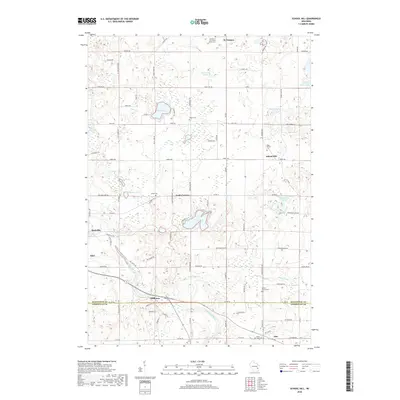
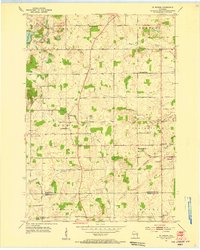 1954 St. Wendel1956 Print · USGSThe rural townships of Manitowoc and Sheboygan counties are captured here in the mid-1950s, a landscape defined by small crossroads settlements and dairy farms. Genealogists can trace family roots through local landmarks like Meeme Center Cem, St Fidelis Sch, and the village of Osman.3 unique versions available
 - 1954 Map of Howards Grove, 1956 Print
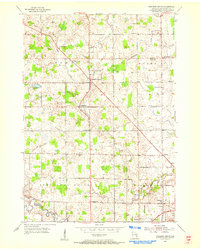
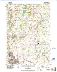
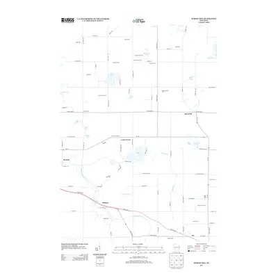
 1954 Howards Grove1956 Print · USGSSheboygan and Manitowoc counties are captured here in the mid-1950s, a period defined by tight-knit rural townships and an economy rooted in local dairy and industry. Genealogists can locate family landmarks like Rocky Knoll Sanatorium, the St Paul-Friedhof Cem, and Mission House College.
 - 1954 Map of Howards Grove, 1956 Print
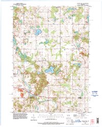
 1954 Howards Grove1956 Print · USGSSheboygan County was a landscape of thriving rural school districts and crossroads hamlets in the mid-fifties. Genealogists can trace family roots through local landmarks like Union Cem, Trinity Sch, and the riverside settlement of Millersville.3 unique versions available
 - 1954 Map of Franklin, 1956 Print
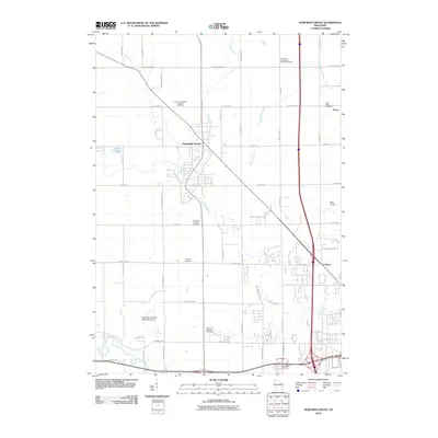
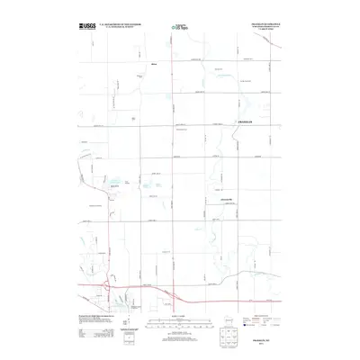
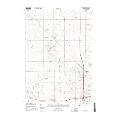
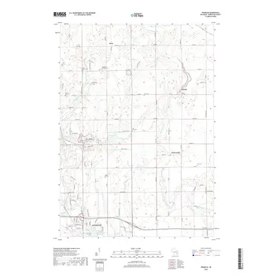
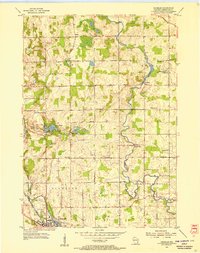 1954 Franklin1956 Print · USGSSheboygan County agriculture and industry meet in the mid-1950s as rail lines converge on the city of Plymouth. Genealogists can trace family footprints through numerous rural sites like Mission House College, Maple Grove Cem, and the Rocky Knoll Sanatorium.3 unique versions available
 - 1954 Map of Milwaukee, 1967 Print
 1954 Milwaukee1967 Print · USGSCoastal life and maritime commerce across Lake Michigan are seen here during the mid-fifties, bridging Wisconsin's industrial hubs and Michigan's timberlands. Genealogists and historians can trace the rail lines of the Grand Trunk Western and find long-established ports like Ludington, Port Washington, and Muskegon.3 unique versions available
 - 1958 Map of Milwaukee
 1958 Milwaukee1958 Print · USGSThe shorelines of Lake Michigan in the late fifties reveal a landscape of bustling ferry ports and growing industrial suburbs. Genealogists and historians can trace rail networks like the Chesapeake & Ohio and locate landmarks such as Little Sable Point and Holy Cross Church.
 - 1989 Map of Sheboygan, 1990 Print
 1989 Sheboygan1990 Print · USGSCoastal Wisconsin thrived in the late eighties as the industrial corridor between Sheboygan and Belgium expanded along the lake. Genealogists and local researchers can trace old township lines and small settlements like Howards Grove, Hingham, and Gibbsville.
 - 1992 Map of Franklin, 1996 Print
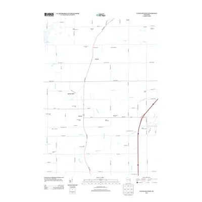
 1992 Franklin1996 Print · USGSWisconsin's dairyland landscape south of Rhine comes to life in the early nineties, centered on the winding Sheboygan River. Researchers can locate family landmarks such as St George Cemetery, the grounds of Mission House College, and the specialized facilities of the Rocky Knoll Sanatorium.
 - 1992 Map of School Hill, 1996 Print
 1992 School Hill1996 Print · USGSThe rural borderlands of Manitowoc and Sheboygan counties are documented here in the early nineties, showcasing a landscape shaped by glacial water and small-town roots. Genealogists can locate family landmarks such as Loreto Cemetery, School Hill, and the Salvatorian Seminary.
 - 2010 Map of Cleveland West, 2010 Print
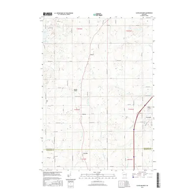
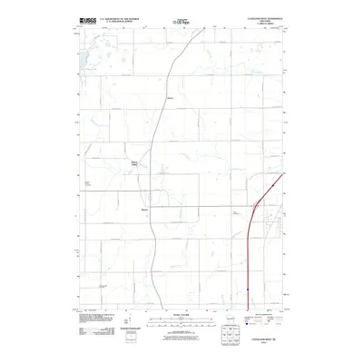 2010 Cleveland West2010 Print · USGSCovers Herman, including Newton, Meeme, and other nearby areas
 - 2010 Map of Franklin, 2010 Print
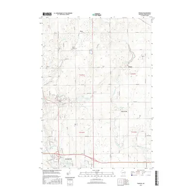
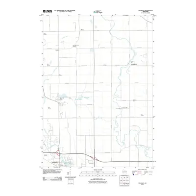 2010 Franklin2010 Print · USGSCovers Herman, including Plymouth, Rhine Center, and other nearby areas
 - 2010 Map of School Hill, 2010 Print
 2010 School Hill2010 Print · USGSCovers Herman, including Kiel, Meeme, and other nearby areas
 - 2010 Map of Howards Grove, 2010 Print
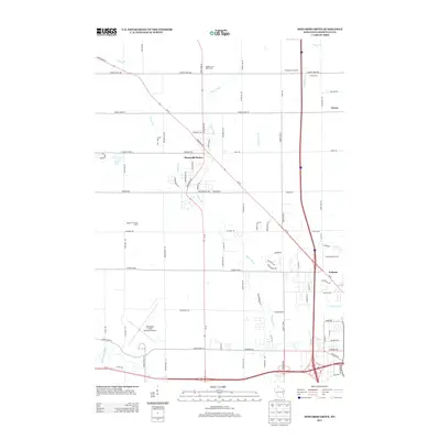
 2010 Howards Grove2010 Print · USGSCovers Herman, including Sheboygan, Town of Sheboygan, and other nearby areas
 - 2013 Map of Cleveland West, 2013 Print
 2013 Cleveland West2013 Print · USGSCovers Herman, including Newton, Meeme, and other nearby areas
 - 2013 Map of School Hill, 2013 Print
 2013 School Hill2013 Print · USGSCovers Herman, including Kiel, Meeme, and other nearby areas
 - 2013 Map of Franklin, 2013 Print
 2013 Franklin2013 Print · USGSCovers Herman, including Plymouth, Rhine Center, and other nearby areas
 - 2013 Map of Howards Grove, 2013 Print
 2013 Howards Grove2013 Print · USGSCovers Herman, including Sheboygan, Town of Sheboygan, and other nearby areas
 - 2016 Map of Cleveland West, 2016 Print
 2016 Cleveland West2016 Print · USGSCovers Herman, including Newton, Meeme, and other nearby areas
 - 2016 Map of Franklin, 2016 Print
 2016 Franklin2016 Print · USGSCovers Herman, including Plymouth, Rhine Center, and other nearby areas
 - 2016 Map of School Hill, 2016 Print
 2016 School Hill2016 Print · USGSCovers Herman, including Kiel, Meeme, and other nearby areas
 - 2016 Map of Howards Grove, 2016 Print
 2016 Howards Grove2016 Print · USGSCovers Herman, including Sheboygan, Town of Sheboygan, and other nearby areas
 - 2018 Map of School Hill, 2018 Print
 2018 School Hill2018 Print · USGSCovers Herman, including Kiel, Meeme, and other nearby areas
 - 2018 Map of Franklin, 2018 Print
 2018 Franklin2018 Print · USGSCovers Herman, including Plymouth, Rhine Center, and other nearby areas
 - 2018 Map of Howards Grove, 2018 Print
 2018 Howards Grove2018 Print · USGSCovers Herman, including Sheboygan, Town of Sheboygan, and other nearby areas
Showing maps 1-25 of 30
Top cities near Herman
- Sheboygan historical maps
- Manitowoc historical maps
- Plymouth historical maps
- Town of Sheboygan historical maps
- Sheboygan Falls historical maps
- New Holstein historical maps
See more
Top neighborhoods of Herman
Frequently asked questions
- What are the different types of historical maps available for Herman?
- What is the oldest map of Herman?
- Where can I purchase historical maps of Herman for my home or office?
- Where can I download high-res historical maps of Herman?
- Are there historical topographic maps available for Herman?
- Is there historical aerial imagery available for Herman?
- Where are historical maps of Herman sourced from?