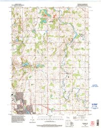
1992 Map of Franklin
USGS Topo · Published 1996About this map
The Sheboygan River winds through the heart of this landscape, anchoring small settlements like Franklin and Johnsonville in Sheboygan County. This map highlights a transition between conservation lands and local institutions, featuring the Schuett Creek State Fishery Area and the La Budde Creek Fishery Area. These protected spaces border historical community centers, such as Mission House College and the Rocky Knoll Sanatorium, reflecting the mid-century social and educational infrastructure of the region.
Find a feature on this map
34 named features on this map. Tap any name to fly to it.
Don’t see what you’re looking for? This feature index may not catch every label — zoom into the map to look around manually.
Map Details
Editions of this 1992 Franklin Map
This is the sole edition of this map. No revisions or reprints were ever made.
Other maps of this area
1954 · Sheboygan Falls
USGS Topo · 1:62,500
1954 · School Hill
USGS Topo · 1:24,000
1954 · Sheboygan Falls
USGS Topo · 1:24,000
1954 · St. Wendel
USGS Topo · 1:24,000
1954 · Howards Grove
USGS Topo · 1:62,500
1954 · Howards Grove
USGS Topo · 1:24,000
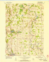
1954 · Franklin
USGS Topo · 1:24,000
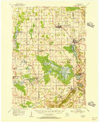
1954 · Kiel
USGS Topo · 1:62,500

1954 · Milwaukee
USGS Topo · 1:250,000
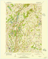
1955 · Kewaskum
USGS Topo · 1:62,500