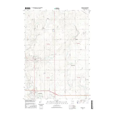
2016 Map of Franklin
USGS Topo · Published 2016About this map
The Sheboygan River and Mullet River drainage basins define this portion of Sheboygan County, where the city of Plymouth serves as a southern anchor. The landscape is marked by glacial legacy, notably through the Ice Age National Scenic Trail winding past Little Elkhart Lake and the wetlands around Gerber Lake. The region’s cultural history is deeply etched into the land via its numerous rural burial grounds, including the Saint John German Evangelical Cemetery and Liberty Cemetery, reflecting the early immigrant heritage of the Rhine and Franklin areas.
Find a feature on this map
91 named features on this map. Tap any name to fly to it.
Don’t see what you’re looking for? This feature index may not catch every label — zoom into the map to look around manually.
Map Details
Editions of this 2016 Franklin Map
This is the sole edition of this map. No revisions or reprints were ever made.
Other maps of this area

1954 · Sheboygan Falls
USGS Topo · 1:62,500

1954 · School Hill
USGS Topo · 1:24,000

1954 · Sheboygan Falls
USGS Topo · 1:24,000

1954 · St. Wendel
USGS Topo · 1:24,000

1954 · Howards Grove
USGS Topo · 1:62,500

1954 · Howards Grove
USGS Topo · 1:24,000

1954 · Franklin
USGS Topo · 1:24,000

1954 · Kiel
USGS Topo · 1:62,500

1954 · Milwaukee
USGS Topo · 1:250,000

1955 · Kewaskum
USGS Topo · 1:62,500