2000s (21st Century) Maps of Mosel, Wisconsin
Explore 20 historic maps of Mosel from the 2000s (21st Century). These maps offer a rare glimpse into what life looked like during the 2000s — showing old roads, neighborhoods, homes, and landmarks that have changed or disappeared over time.
Whether you're researching your family's past, planning a metal detecting trip, or studying how Mosel's landscape evolved across the 2000s, these high-resolution maps are a powerful tool for exploring the history of this region.
- Focus on a specific era: All maps on this page are from the 2000s, giving you a focused view of this time period.
- See what’s changed: Compare century-old streets, trails, and buildings to today's modern landscape using overlays and satellite layers.
- Research with precision: Use these maps for genealogy, historical research, land use analysis, or educational projects.
- View, download, or print: Maps are fully viewable online in high resolution, and can be downloaded or printed for your own records.
Start exploring Mosel's history through authentic maps from the 2000s. This is your window into the past.
Mosel, WI maps
(20)- 2010 Map of Cleveland East, 2010 Print
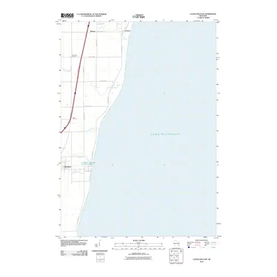 2010 Cleveland East2010 Print · USGSCovers Mosel, including Newton, Cleveland, and other nearby areas
 - 2010 Map of Cleveland West, 2010 Print
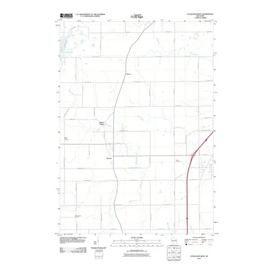 2010 Cleveland West2010 Print · USGSCovers Mosel, including Newton, Meeme, and other nearby areas
 - 2010 Map of Sheboygan North, 2010 Print
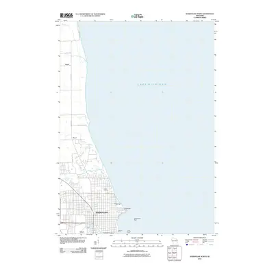 2010 Sheboygan North2010 Print · USGSCovers Mosel, including Sheboygan, Sheboygan, and other nearby areas
 - 2010 Map of Howards Grove, 2010 Print
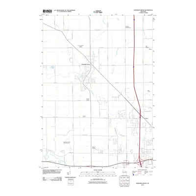 2010 Howards Grove2010 Print · USGSCovers Mosel, including Sheboygan, Town of Sheboygan, and other nearby areas
 - 2013 Map of Cleveland East, 2013 Print
 2013 Cleveland East2013 Print · USGSCovers Mosel, including Newton, Cleveland, and other nearby areas
 - 2013 Map of Cleveland West, 2013 Print
 2013 Cleveland West2013 Print · USGSCovers Mosel, including Newton, Meeme, and other nearby areas
 - 2013 Map of Sheboygan North, 2013 Print
 2013 Sheboygan North2013 Print · USGSCovers Mosel, including Sheboygan, Sheboygan, and other nearby areas
 - 2013 Map of Howards Grove, 2013 Print
 2013 Howards Grove2013 Print · USGSCovers Mosel, including Sheboygan, Town of Sheboygan, and other nearby areas
 - 2016 Map of Cleveland East, 2016 Print
 2016 Cleveland East2016 Print · USGSCovers Mosel, including Newton, Cleveland, and other nearby areas
 - 2016 Map of Cleveland West, 2016 Print
 2016 Cleveland West2016 Print · USGSCovers Mosel, including Newton, Meeme, and other nearby areas
 - 2016 Map of Sheboygan North, 2016 Print
 2016 Sheboygan North2016 Print · USGSCovers Mosel, including Sheboygan, Sheboygan, and other nearby areas
 - 2016 Map of Howards Grove, 2016 Print
 2016 Howards Grove2016 Print · USGSCovers Mosel, including Sheboygan, Town of Sheboygan, and other nearby areas
 - 2018 Map of Howards Grove, 2018 Print
 2018 Howards Grove2018 Print · USGSCovers Mosel, including Sheboygan, Town of Sheboygan, and other nearby areas
 - 2018 Map of Sheboygan North, 2018 Print
 2018 Sheboygan North2018 Print · USGSCovers Mosel, including Sheboygan, Sheboygan, and other nearby areas
 - 2018 Map of Cleveland West, 2018 Print
 2018 Cleveland West2018 Print · USGSCovers Mosel, including Newton, Meeme, and other nearby areas
 - 2018 Map of Cleveland East, 2018 Print
 2018 Cleveland East2018 Print · USGSCovers Mosel, including Newton, Cleveland, and other nearby areas
 - 2022 Map of Cleveland West, 2022 Print
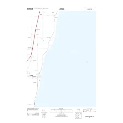
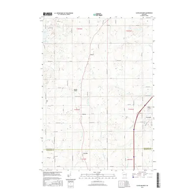
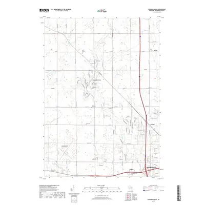
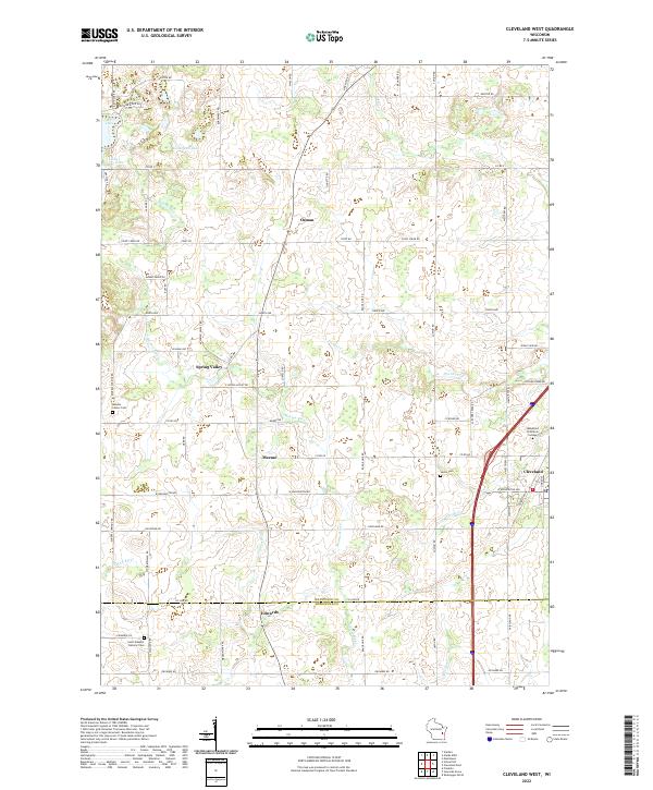 2022 Cleveland West2022 Print · USGSCoastal Wisconsin hinterlands between Manitowoc and Sheboygan appear here as they were in the early 2020s. Genealogists can locate family landmarks like Meeme Center Cem and Saxon Cem alongside the historic hamlets of Osman and Spring Valley.
 - 2022 Map of Cleveland East, 2022 Print
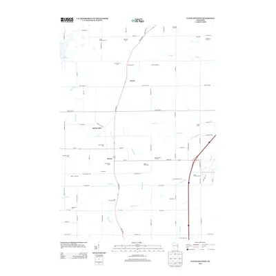
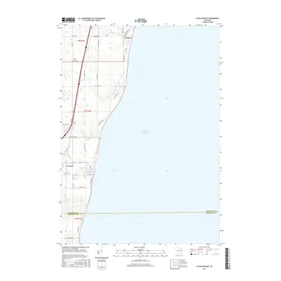
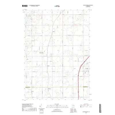
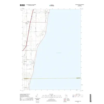
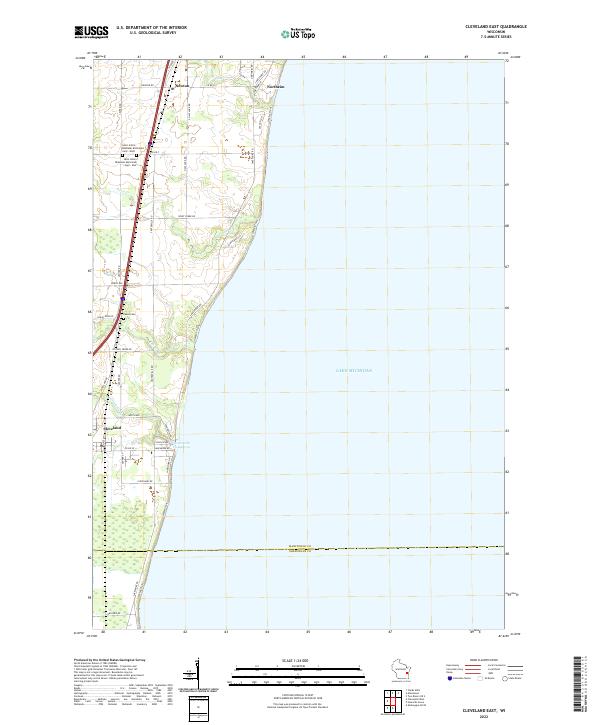 2022 Cleveland East2022 Print · USGSManitowoc County's lakefront settlements and rural sections appear here in the early twenty-first century. Genealogists can locate family sites near Kassa Cem or trace the drainage of Centerville Cr through the village of Cleveland.
 - 2022 Map of Sheboygan North, 2022 Print
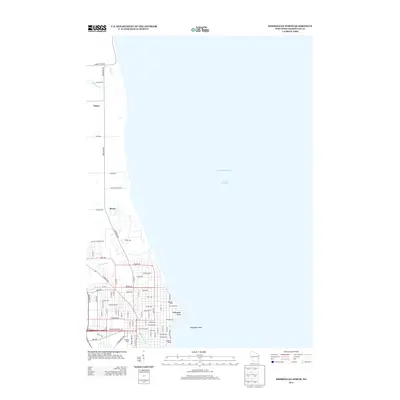
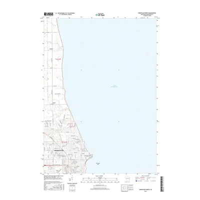
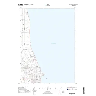
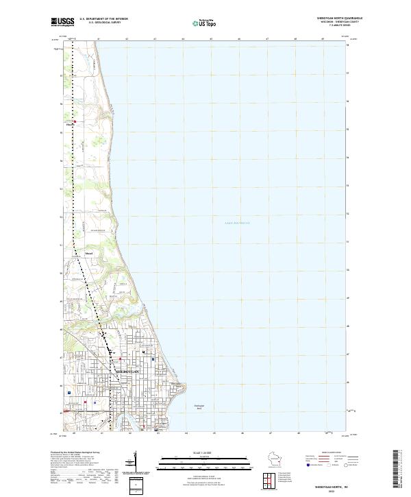 2022 Sheboygan North2022 Print · USGSThe northern edge of Sheboygan and the rural township of Mosel are documented here during their twenty-first-century development. Researchers can trace local landmarks and infrastructure from the Sheboygan County Courthouse to rural corners like Hayen and Wildwood Cem.
 - 2022 Map of Howards Grove, 2022 Print
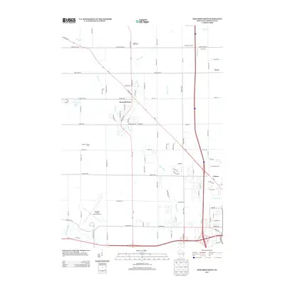
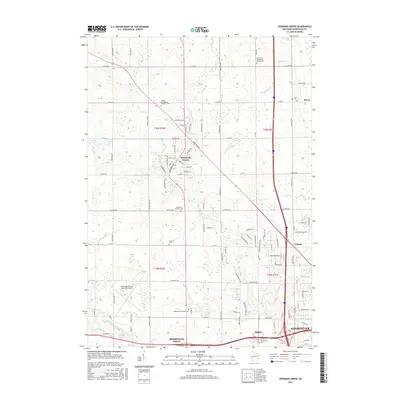
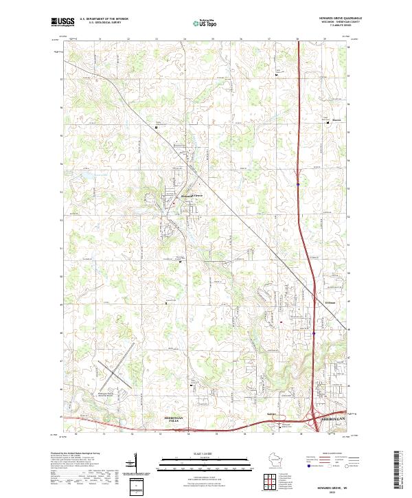 2022 Howards Grove2022 Print · USGSSheboygan County in the early twenty-first century reveals a landscape of quiet villages and historic cemeteries nestled between river bends. Genealogists can trace family lines at Trinity Lutheran Cem or Saint Paul Friedhof Cem while exploring the rural roads around Howards Grove and Haven.
End of results
Showing maps 1-20 of 20
Top cities near Mosel
- Sheboygan historical maps
- Manitowoc historical maps
- Plymouth historical maps
- Town of Sheboygan historical maps
- Sheboygan Falls historical maps
- Howards Grove historical maps
See more
Top neighborhoods of Mosel
Frequently asked questions
- What are the different types of historical maps available for Mosel?
- What is the oldest map of Mosel?
- Where can I purchase historical maps of Mosel for my home or office?
- Where can I download high-res historical maps of Mosel?
- Are there historical topographic maps available for Mosel?
- Is there historical aerial imagery available for Mosel?
- Where are historical maps of Mosel sourced from?