2000s (21st Century) Maps of Phelps, Wisconsin
Explore 16 historic maps of Phelps from the 2000s (21st Century). These maps offer a rare glimpse into what life looked like during the 2000s — showing old roads, neighborhoods, homes, and landmarks that have changed or disappeared over time.
Whether you're researching your family's past, planning a metal detecting trip, or studying how Phelps's landscape evolved across the 2000s, these high-resolution maps are a powerful tool for exploring the history of this region.
- Focus on a specific era: All maps on this page are from the 2000s, giving you a focused view of this time period.
- See what’s changed: Compare century-old streets, trails, and buildings to today's modern landscape using overlays and satellite layers.
- Research with precision: Use these maps for genealogy, historical research, land use analysis, or educational projects.
- View, download, or print: Maps are fully viewable online in high resolution, and can be downloaded or printed for your own records.
Start exploring Phelps's history through authentic maps from the 2000s. This is your window into the past.
Phelps, WI maps
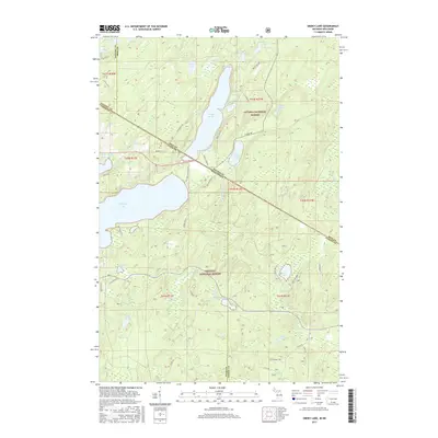
(16)- 2011 Map of Smoky Lake, 2011 Print
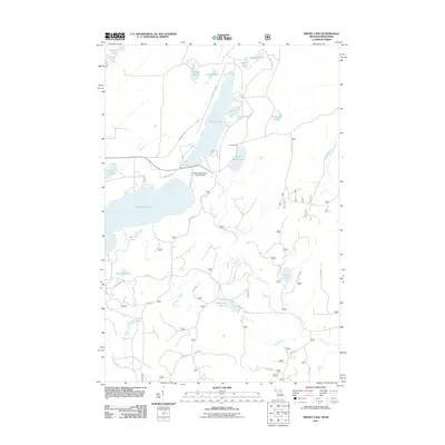 2011 Smoky Lake2011 Print · USGSCovers Phelps, including Alvin, Stambaugh Township, and other nearby areas
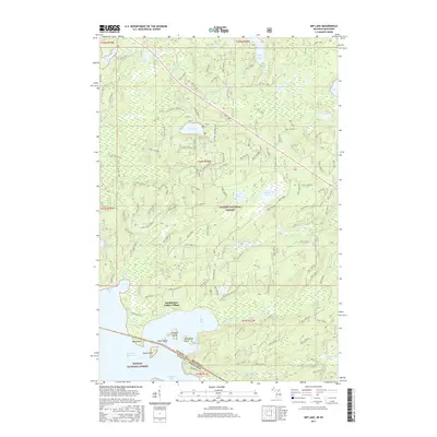
 - 2011 Map of Imp Lake, 2011 Print
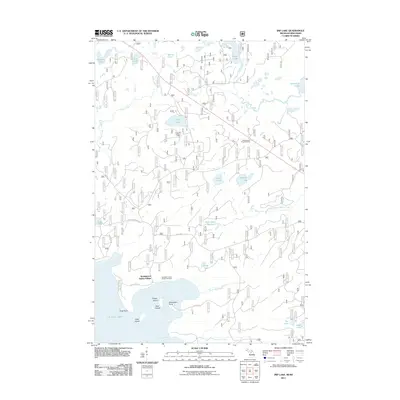 2011 Imp Lake2011 Print · USGSCovers Phelps, including Katakitckon Indian Village, Watersmeet Township, and other nearby areas
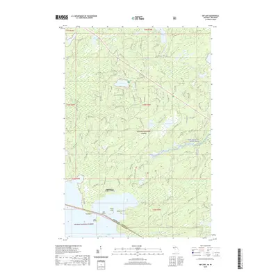
 - 2014 Map of Imp Lake, 2014 Print
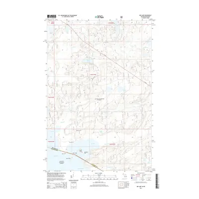 2014 Imp Lake2014 Print · USGSCovers Phelps, including Katakitckon Indian Village, Watersmeet Township, and other nearby areas
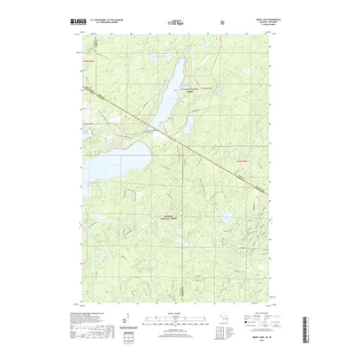
 - 2014 Map of Smoky Lake, 2014 Print
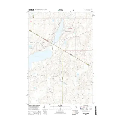 2014 Smoky Lake2014 Print · USGSCovers Phelps, including Alvin, Stambaugh Township, and other nearby areas
 - 2017 Map of Smoky Lake, 2017 Print
 2017 Smoky Lake2017 Print · USGSCovers Phelps, including Alvin, Stambaugh Township, and other nearby areas
 - 2017 Map of Imp Lake, 2017 Print
 2017 Imp Lake2017 Print · USGSCovers Phelps, including Katakitckon Indian Village, Watersmeet Township, and other nearby areas
 - 2019 Map of Imp Lake, 2019 Print
 2019 Imp Lake2019 Print · USGSCovers Phelps, including Katakitckon Indian Village, Watersmeet Township, and other nearby areas
 - 2019 Map of Smoky Lake, 2019 Print
 2019 Smoky Lake2019 Print · USGSCovers Phelps, including Alvin, Stambaugh Township, and other nearby areas
 - 2022 Map of Alvin NW, 2022 Print
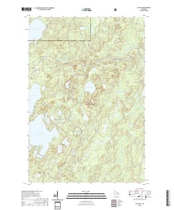 2022 Alvin NW2022 Print · USGSThe Northwoods of Forest and Vilas counties are seen here in recent decades as a landscape of managed timber and glacial lakes. Hikers and historians can trace the Hidden Lakes Trl or locate the Windsor Dam Divide Fire Tower and Indian Camp Lake.
 - 2022 Map of Land O' Lakes, 2022 Print
 2022 Land O' Lakes2022 Print · USGSThe Wisconsin-Michigan border country is captured here in recent detail, showing a landscape defined by glacial lakes and a deep network of forest trails. You can trace the shorelines of Duck Lake and Moon Lake, or locate regional hubs like Kings Land O' Lakes Airport.
 - 2022 Map of Anvil Lake, 2022 Print
 2022 Anvil Lake2022 Print · USGSVilas and Forest Counties are shown in the 2020s as a dense wilderness of protected timber and glacial waters. Trace historic routes and lake access via the Military Trl, Kentuck Lake, and the expansive Nicolet National Forest.
 - 2022 Map of Pioneer Lake, 2022 Print
 2022 Pioneer Lake2022 Print · USGSVilas County's lake country is mapped in detail during the early 2020s, showing a landscape defined by the Nicolet National Forest and the upper Wisconsin River. Researchers can locate Hildegard Cem and trace the timbered shorelines of Pioneer Lake and North Twin Lake.
 - 2022 Map of Phelps, 2022 Print
 2022 Phelps2022 Print · USGSVilas County's lake-rich landscape and the village of Phelps are shown in detail during the early 2020s. Researchers can trace local landmarks like Military Hill and Phelps Cem alongside recreational routes like the Phelps Ski And Hiking Trl.
 - 2022 Map of Eagle River East, 2022 Print
 2022 Eagle River East2022 Print · USGSEagle River and the surrounding glacial lake chain are documented in the early twenty-first century, showcasing a landscape defined by water and woods. Researchers can trace local landmarks like the Vilas County Courthouse and Saint Peters Catholic Cem alongside Eagle Lake.
 - 2023 Map of Imp Lake, 2023 Print
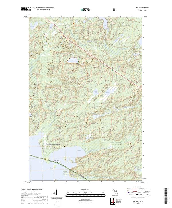 2023 Imp Lake2023 Print · USGSThe Michigan and Wisconsin borderlands are shown in this modern survey of the Ottawa and Nicolet National Forests. Genealogists and local historians can locate the Kakatitkon Indian Village and Cem, or trace the winding South Branch Paint River.
 - 2023 Map of Smoky Lake, 2023 Print
 2023 Smoky Lake2023 Print · USGSThe Michigan and Wisconsin state line bisects this lake-strewn forest landscape during the early 2020s. Genealogists and local historians can trace old access routes like Mail Route Road or locate quiet landmarks like Elvoy Springs and Ishkote Lake.
End of results
Showing maps 1-16 of 16
Top cities near Phelps
- Three Lakes historical maps
- Sugar Camp historical maps
- Washington historical maps
- Eagle River historical maps
- Watersmeet historical maps
- Conover historical maps
See more
Top neighborhoods of Phelps
Frequently asked questions
- What are the different types of historical maps available for Phelps?
- What is the oldest map of Phelps?
- Where can I purchase historical maps of Phelps for my home or office?
- Where can I download high-res historical maps of Phelps?
- Are there historical topographic maps available for Phelps?
- Is there historical aerial imagery available for Phelps?
- Where are historical maps of Phelps sourced from?