2000s (21st Century) Maps of Washington, Wisconsin
Explore 10 historic maps of Washington from the 2000s (21st Century). These maps offer a rare glimpse into what life looked like during the 2000s — showing old roads, neighborhoods, homes, and landmarks that have changed or disappeared over time.
Whether you're researching your family's past, planning a metal detecting trip, or studying how Washington's landscape evolved across the 2000s, these high-resolution maps are a powerful tool for exploring the history of this region.
- Focus on a specific era: All maps on this page are from the 2000s, giving you a focused view of this time period.
- See what’s changed: Compare century-old streets, trails, and buildings to today's modern landscape using overlays and satellite layers.
- Research with precision: Use these maps for genealogy, historical research, land use analysis, or educational projects.
- View, download, or print: Maps are fully viewable online in high resolution, and can be downloaded or printed for your own records.
Start exploring Washington's history through authentic maps from the 2000s. This is your window into the past.
Washington, WI maps
(10)- 2011 Map of Eagle River East, 2011 Print
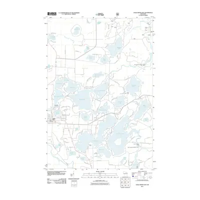 2011 Eagle River East2011 Print · USGSOneida County's lakeland terrain is intricately mapped here in the early twenty-first century, showing the dense network of waterways east of Eagle River. Genealogists and researchers can locate seasonal landmarks like Camp Marimeta and Honey Rock Camp, or trace the historical water levels controlled by the Burnt Rollways Dam.
 - 2011 Map of Anvil Lake, 2011 Print
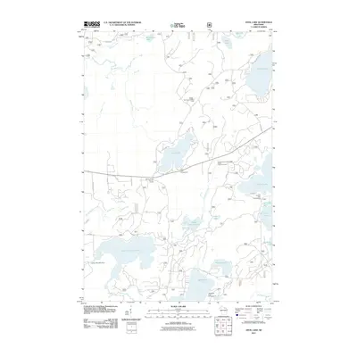 2011 Anvil Lake2011 Print · USGSNorthern Wisconsin lake country is documented here in the early twenty-first century, showing the dense network of water bodies and camps. Trace historic routes along the Military Road or locate the Anvil Lake Lookout Tower.
 - 2013 Map of Eagle River East, 2013 Print
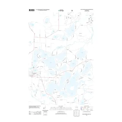 2013 Eagle River East2013 Print · USGSThe lake-country of Oneida County is captured here in the early twenty-first century, showing the dense network of summer camps and shorefront homes. Researchers can trace the layout of Eagle River and find local landmarks like Camp Marimeta and the Big T Dock and Ramp.
 - 2013 Map of Anvil Lake, 2013 Print
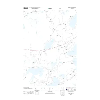 2013 Anvil Lake2013 Print · USGSThe Northwoods of Wisconsin are shown in the early twenty-first century, centered on the lakes and forests of Oneida County. Researchers can trace historic routes like Military Road and locate landmarks such as the Anvil Lake Lookout Tower and Blackjack Springs.
 - 2015 Map of Eagle River East, 2015 Print
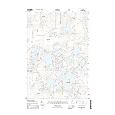 2015 Eagle River East2015 Print · USGSThe Eagle River chain of lakes is shown in extensive detail during the mid-2010s, capturing the dense network of shorelines and forest lands at the Vilas-Oneida county line. Researchers can trace local development around Scattering Rice Lake, Catfish Lake, and the edges of the Nicolet National Forest.
 - 2015 Map of Anvil Lake, 2015 Print
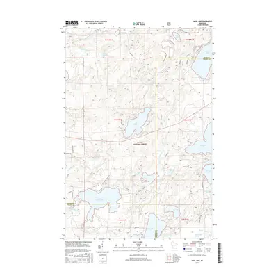 2015 Anvil Lake2015 Print · USGSThe Wisconsin lake country near the Vilas and Oneida county line is captured here in the mid-2010s, dominated by the timbered tracts of the Nicolet National Forest. You can trace the historic Military Rd and locate forest trails or shoreline access at Anvil Lake, Sevenmile Lake, and Blackjack Springs.
 - 2018 Map of Anvil Lake, 2018 Print
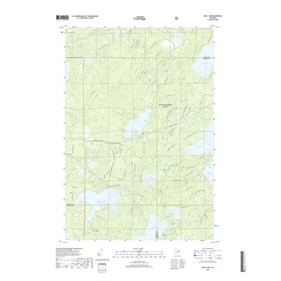 2018 Anvil Lake2018 Print · USGSThe Vilas and Oneida county line area in the late 2010s is a landscape defined by deep forest and high-country glacial lakes. Outdoor researchers can trace the seasonal Vilas Co Snowmobile trails and explore the shorelines of Anvil Lake, Franklin Lake, and Sevenmile Lake.
 - 2018 Map of Eagle River East, 2018 Print
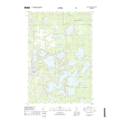 2018 Eagle River East2018 Print · USGSThe interconnected lakes of Vilas County are shown in great detail during the late twenty-tens, centering on the waters around Eagle River. Property owners and researchers can trace the shorelines of Eagle Lake, Scattering Rice Lake, and Deerskin Lake within the Nicolet National Forest.
 - 2022 Map of Anvil Lake, 2022 Print
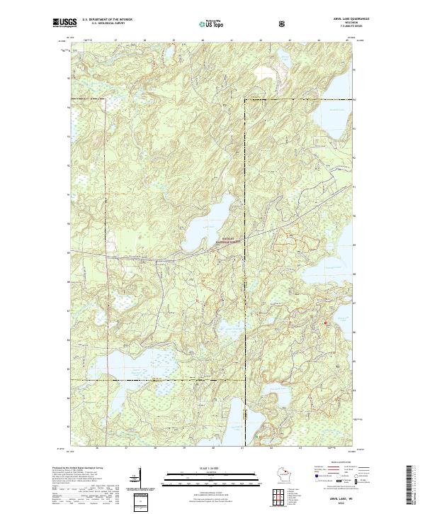 2022 Anvil Lake2022 Print · USGSVilas and Forest Counties are shown in the 2020s as a dense wilderness of protected timber and glacial waters. Trace historic routes and lake access via the Military Trl, Kentuck Lake, and the expansive Nicolet National Forest.
 - 2022 Map of Eagle River East, 2022 Print
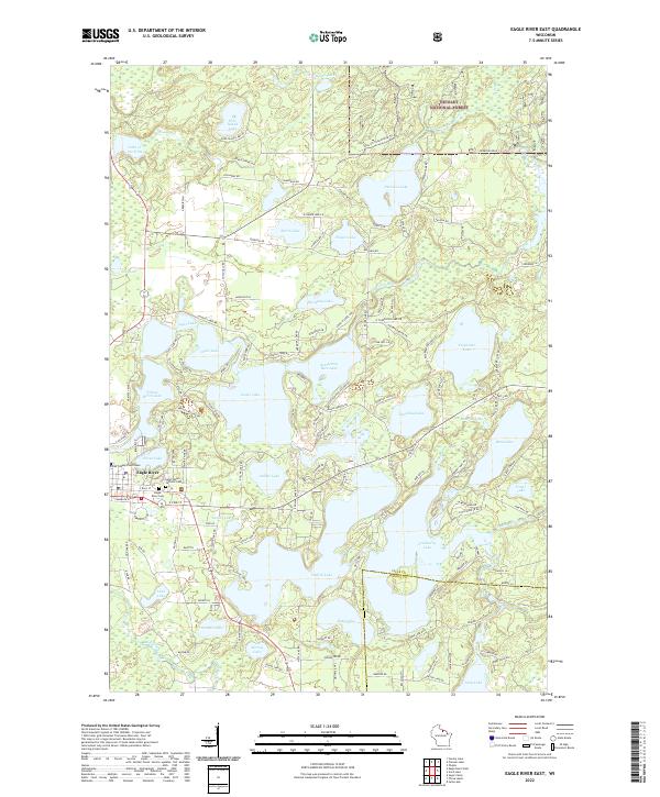 2022 Eagle River East2022 Print · USGSEagle River and the surrounding glacial lake chain are documented in the early twenty-first century, showcasing a landscape defined by water and woods. Researchers can trace local landmarks like the Vilas County Courthouse and Saint Peters Catholic Cem alongside Eagle Lake.
End of results
Showing maps 1-10 of 10
Top cities near Washington
- Three Lakes historical maps
- Sugar Camp historical maps
- Eagle River historical maps
- Phelps historical maps
- Conover historical maps
- Stella historical maps
See more
Frequently asked questions
- What are the different types of historical maps available for Washington?
- What is the oldest map of Washington?
- Where can I purchase historical maps of Washington for my home or office?
- Where can I download high-res historical maps of Washington?
- Are there historical topographic maps available for Washington?
- Is there historical aerial imagery available for Washington?
- Where are historical maps of Washington sourced from?