1900s (20th Century) Maps of Sharon, Wisconsin
Explore 16 historic maps of Sharon from the 1900s (20th Century). These maps offer a rare glimpse into what life looked like during the 1900s — showing old roads, neighborhoods, homes, and landmarks that have changed or disappeared over time.
Whether you're researching your family's past, planning a metal detecting trip, or studying how Sharon's landscape evolved across the 1900s, these high-resolution maps are a powerful tool for exploring the history of this region.
- Focus on a specific era: All maps on this page are from the 1900s, giving you a focused view of this time period.
- See what’s changed: Compare century-old streets, trails, and buildings to today's modern landscape using overlays and satellite layers.
- Research with precision: Use these maps for genealogy, historical research, land use analysis, or educational projects.
- View, download, or print: Maps are fully viewable online in high resolution, and can be downloaded or printed for your own records.
Start exploring Sharon's history through authentic maps from the 1900s. This is your window into the past.
Sharon, WI maps
(16)- 1918 Map of Belvidere
 1918 Belvidere1918 Print · USGSBoone County and the Kishwaukee River valley are captured here in the final year of the Great War. Researchers can trace dozens of rural school sites like Quailtrap School or locate family roots near Argyle and the Scotch Cemetery.
 - 1932 Map of Harvard
 1932 Harvard1932 Print · USGSNorthern Illinois and the Wisconsin borderlands are captured here in the early 1930s, centered on the rail hub of Harvard. Genealogists can locate dozens of named rural schools like Hoppen School and Shields School, or trace the path of the Chicago and Northwestern Electric (Abandoned) line.3 unique versions available
 - 1937 Map of Harvard
 1937 Harvard1937 Print · USGSUpper Illinois and the Wisconsin borderlands are shown here in the mid-1930s, centered on the bustling rail junction at Harvard. Genealogists can trace family footprints across dozens of country schoolhouse sites like White Oak Sch and the rural cemeteries of Dunham township.2 unique versions available
 - 1944 Map of Belvidere
 1944 Belvidere1944 Print · USGSNorthern Illinois at the height of the Second World War shows a landscape defined by rail-fed farming villages and dozens of country schoolhouses. Genealogists can trace family footprints near Scotch Church, the Fairgrounds, and settlements like Poplar Grove.2 unique versions available
 - 1954 Map of Rockford
 1954 Rockford1954 Print · USGSThe Rock River valley and the Illinois-Wisconsin borderlands are captured here in the mid-1950s during a period of robust industrial and agricultural activity. Genealogists and historians can trace rail-era corridors like the Illinois Central RR and locate landmarks from Big Foot Prairie to Lake Geneva.
 - 1955 Map of Rockford
 1955 Rockford1955 Print · USGSThe Rock River valley and southern Wisconsin dairy country are shown here in the mid-fifties as the region's manufacturing centers grew. Genealogists and historians can trace the paths of the Chicago and North Western RR and Illinois Central RR through hubs like Rockford and Beloit.
 - 1958 Map of Rockford, 1974 Print
 1958 Rockford1974 Print · USGSNorthern Illinois and southern Wisconsin are shown here in the mid-twentieth century as rail-dependent industrial towns began to interface with growing lakefront communities. Genealogists can trace family roots through settlements like Saylesville and Tess Corners or locate historical landmarks like the Rockford Ordnance Depot.4 unique versions available
 - 1960 Map of Delavan, 1962 Print
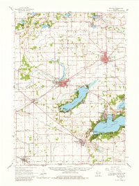 1960 Delavan1962 Print · USGSWalworth County’s lake country is captured here in the early sixties, showing a landscape of summer resorts and established prairie towns. Researchers can locate family landmarks like Hollister Cem or trace the grounds of the Yerkes Observatory and County Fairground.2 unique versions available
 - 1960 Map of Sharon, 1964 Print
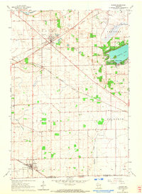 1960 Sharon1964 Print · USGSSouthern Wisconsin farm country and rail hubs are captured here at the start of the 1960s. Genealogists can trace family footprints across North Sharon Cem, South Grove Cem, and rural schoolhouses like Salt Box Sch or Red Sch.3 unique versions available
 - 1961 Map of Shopiere, 1964 Print
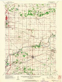 1961 Shopiere1964 Print · USGSSoutheast Rock County comes to life in the early sixties, showing the vital rail junctions and agricultural townships surrounding Shopiere. Genealogists can trace family roots through numerous sites like Mount Zion Cemetery, Bradford School, and the early Turtle Landing Field.2 unique versions available
 - 1961 Map of Clinton, 1977 Print
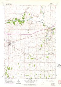 1961 Clinton1977 Print · USGSClinton and the surrounding townships are captured in the mid-twentieth century as a vital rail-and-farming corridor near the Illinois border. Trace family history at Jefferson Prairie Cem or follow the historic routes of the North Western railroad through Allens Grove.
 - 1963 Map of Rockford
 1963 Rockford1963 Print · USGSThe mid-century industrial corridor along the Rock River is shown here during a period of rapid post-war growth. Researchers can trace the extensive rail lines of the Chicago and North Western or locate local landmarks like the Rockford Ordnance Depot and Holy Hill.
 - 1970 Map of Capron, 1972 Print
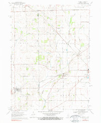 1970 Capron1972 Print · USGSThe Illinois-Wisconsin borderlands are captured here in the early seventies, showing a landscape of established farmsteads and rail-linked villages. Genealogists can locate family sites at Burr Oak Cem, Chester Cem, or the rural community of Lawrence.3 unique versions available
 - 1970 Map of Belvidere NE, 1972 Print
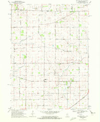 1970 Belvidere NE1972 Print · USGSBoone County farmers and rural residents at the start of the 1970s occupied a landscape of straight section roads and winding prairie creeks. Genealogists can trace family footprints at Stone School Cem or the old settlement at Beaverton Crossroads.
 - 1980 Map of Lake Geneva, 1981 Print
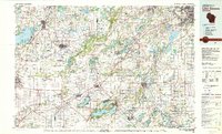 1980 Lake Geneva1981 Print · USGSSoutheastern Wisconsin at the start of the eighties reveals a landscape of glacial moraines and established lakefront resorts. Researchers can trace historic rail lines like the Chicago and North Western RR or locate landmarks such as Yerkes Observatory and East Lawn Cem.
 - 1981 Map of Elgin
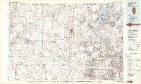 1981 Elgin1981 Print · USGSNorthern Illinois and southern Wisconsin are shown in the early eighties as suburban growth meets glacial terrain. Trace the paths of the Milwaukee Road through Harvard or explore the wetlands of Volo Bog State Natural Area.
End of results
Showing maps 1-16 of 16
Top cities near Sharon
- Rockford historical maps
- Janesville historical maps
- Loves Park historical maps
- Harvard historical maps
- Elkhorn historical maps
- Delavan historical maps
See more
Top neighborhoods of Sharon
Frequently asked questions
- What are the different types of historical maps available for Sharon?
- What is the oldest map of Sharon?
- Where can I purchase historical maps of Sharon for my home or office?
- Where can I download high-res historical maps of Sharon?
- Are there historical topographic maps available for Sharon?
- Is there historical aerial imagery available for Sharon?
- Where are historical maps of Sharon sourced from?